[Surveys in Austin's Colony along the west bank of the San Jacinto River]
Atlas D, Sketch 9 (D-9)
D-9
-
Map/Doc
79
-
Collection
General Map Collection
-
Object Dates
1831 (Creation Date)
-
People and Organizations
[E.R. Wightman] (Surveyor/Engineer)
-
Counties
Montgomery
-
Subjects
Atlas
-
Height x Width
25.0 x 22.0 inches
63.5 x 55.9 cm
-
Medium
paper, manuscript
-
Comments
Conserved in 2004.
-
Features
Sandy Creek
Bedie Creek
Little Lake Creek
Bowls Creek
Grimes Road
Lake Creek
Atkins Creek
Big Dry Creek
Magnolia Creek
Spring Branch [of Lake Creek]
Coshatta Trace
Part of: General Map Collection
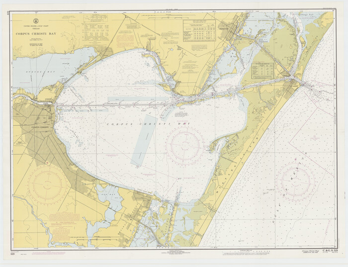
Corpus Christi Bay

Print $20.00
- Digital $50.00
Corpus Christi Bay
1971
Size 36.4 x 47.4 inches
Map/Doc 73472
Comanche County Working Sketch 22


Print $20.00
- Digital $50.00
Comanche County Working Sketch 22
1974
Size 23.7 x 23.1 inches
Map/Doc 68156
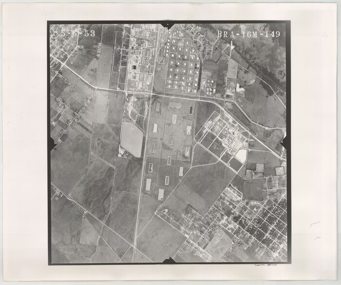
Flight Mission No. BRA-16M, Frame 149, Jefferson County

Print $20.00
- Digital $50.00
Flight Mission No. BRA-16M, Frame 149, Jefferson County
1953
Size 18.6 x 22.3 inches
Map/Doc 85755
Shelby County Working Sketch 28


Print $20.00
- Digital $50.00
Shelby County Working Sketch 28
2000
Size 28.8 x 29.8 inches
Map/Doc 63882
Hutchinson County Rolled Sketch 15

Print $47.00
- Digital $50.00
Hutchinson County Rolled Sketch 15
1911
Size 28.9 x 27.0 inches
Map/Doc 10201
Nueces County Sketch File 76


Print $54.00
- Digital $50.00
Nueces County Sketch File 76
1992
Size 11.0 x 8.6 inches
Map/Doc 33032
Stephens County Sketch File 10c


Print $6.00
- Digital $50.00
Stephens County Sketch File 10c
Size 7.8 x 11.5 inches
Map/Doc 37052
Val Verde County Sketch File Z15


Print $22.00
- Digital $50.00
Val Verde County Sketch File Z15
1902
Size 15.2 x 17.2 inches
Map/Doc 39144
Matagorda Bay and Approaches


Print $20.00
- Digital $50.00
Matagorda Bay and Approaches
1974
Size 35.1 x 44.6 inches
Map/Doc 73386
Crosby County Working Sketch 18


Print $20.00
- Digital $50.00
Crosby County Working Sketch 18
1982
Size 22.7 x 31.0 inches
Map/Doc 68452
Frio County Rolled Sketch HM2


Print $20.00
- Digital $50.00
Frio County Rolled Sketch HM2
1935
Size 41.3 x 30.6 inches
Map/Doc 8899
You may also like
Medina County Rolled Sketch 14


Print $20.00
- Digital $50.00
Medina County Rolled Sketch 14
1980
Size 29.2 x 32.0 inches
Map/Doc 6748
Right-of-Way and Track Map, Houston and Brazos Valley Ry. Co. operated by the Houston and Brazos Valley Ry. Co.
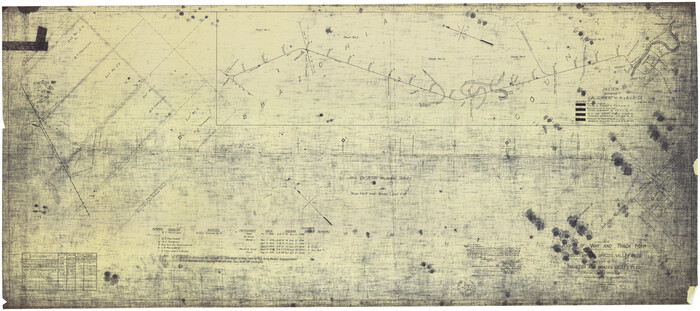

Print $40.00
- Digital $50.00
Right-of-Way and Track Map, Houston and Brazos Valley Ry. Co. operated by the Houston and Brazos Valley Ry. Co.
1918
Size 24.9 x 56.5 inches
Map/Doc 64608
Mason County Boundary File 5


Print $20.00
- Digital $50.00
Mason County Boundary File 5
Size 9.7 x 7.0 inches
Map/Doc 56862
Map showing lands acquired for reservoir purposes in connection with Lake Worth and the boundary of territory annexed to the City of Fort Worth, Texas

Print $40.00
- Digital $50.00
Map showing lands acquired for reservoir purposes in connection with Lake Worth and the boundary of territory annexed to the City of Fort Worth, Texas
Size 46.6 x 59.6 inches
Map/Doc 62210
United States Base Map
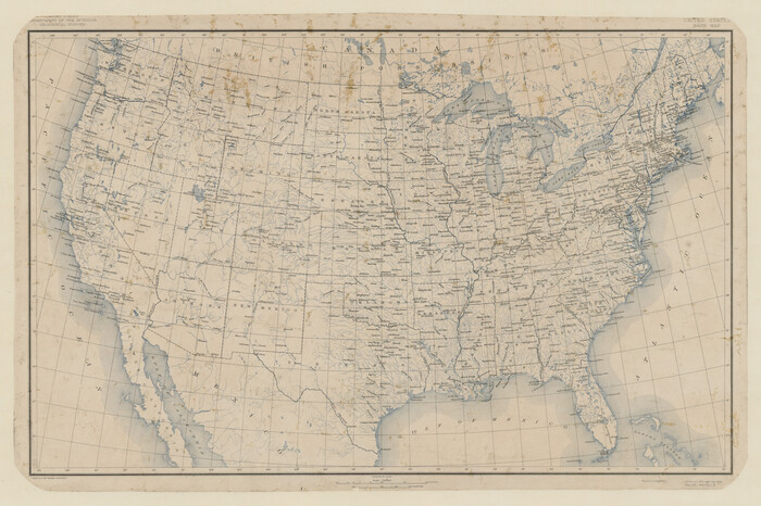

Print $20.00
- Digital $50.00
United States Base Map
1916
Size 19.2 x 29.5 inches
Map/Doc 69653
Webb County Working Sketch 26


Print $20.00
- Digital $50.00
Webb County Working Sketch 26
1931
Size 17.9 x 18.4 inches
Map/Doc 72391
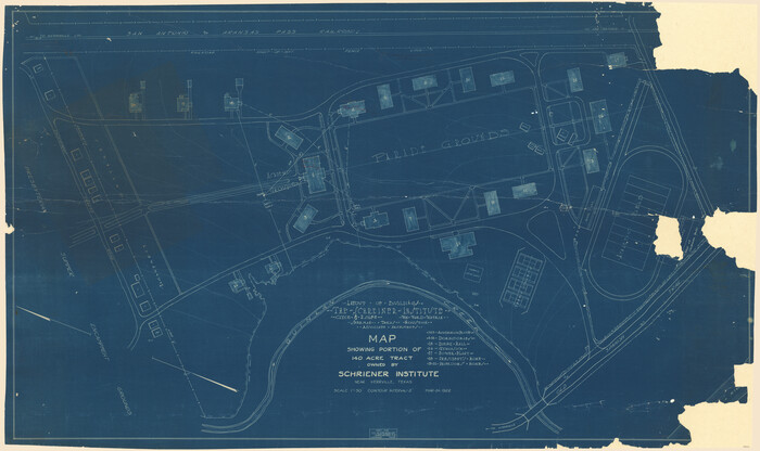
Map showing portion of 140 acre tract owned by Schriener Institute near Kerrville, Texas

Print $40.00
- Digital $50.00
Map showing portion of 140 acre tract owned by Schriener Institute near Kerrville, Texas
1922
Size 31.6 x 53.0 inches
Map/Doc 89443
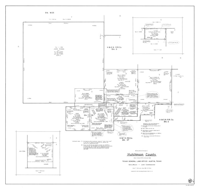
Hutchinson County Working Sketch 49

Print $20.00
- Digital $50.00
Hutchinson County Working Sketch 49
1988
Size 35.2 x 37.3 inches
Map/Doc 66409
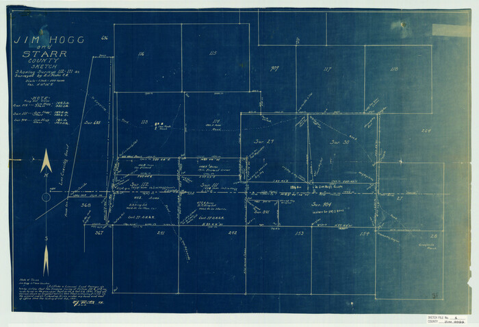
Jim Hogg County Sketch File 1

Print $20.00
- Digital $50.00
Jim Hogg County Sketch File 1
1931
Size 18.2 x 26.7 inches
Map/Doc 11883
Intracoastal Waterway, Houma, LA to Corpus Christi, TX


Print $4.00
- Digital $50.00
Intracoastal Waterway, Houma, LA to Corpus Christi, TX
Size 23.8 x 22.0 inches
Map/Doc 61910
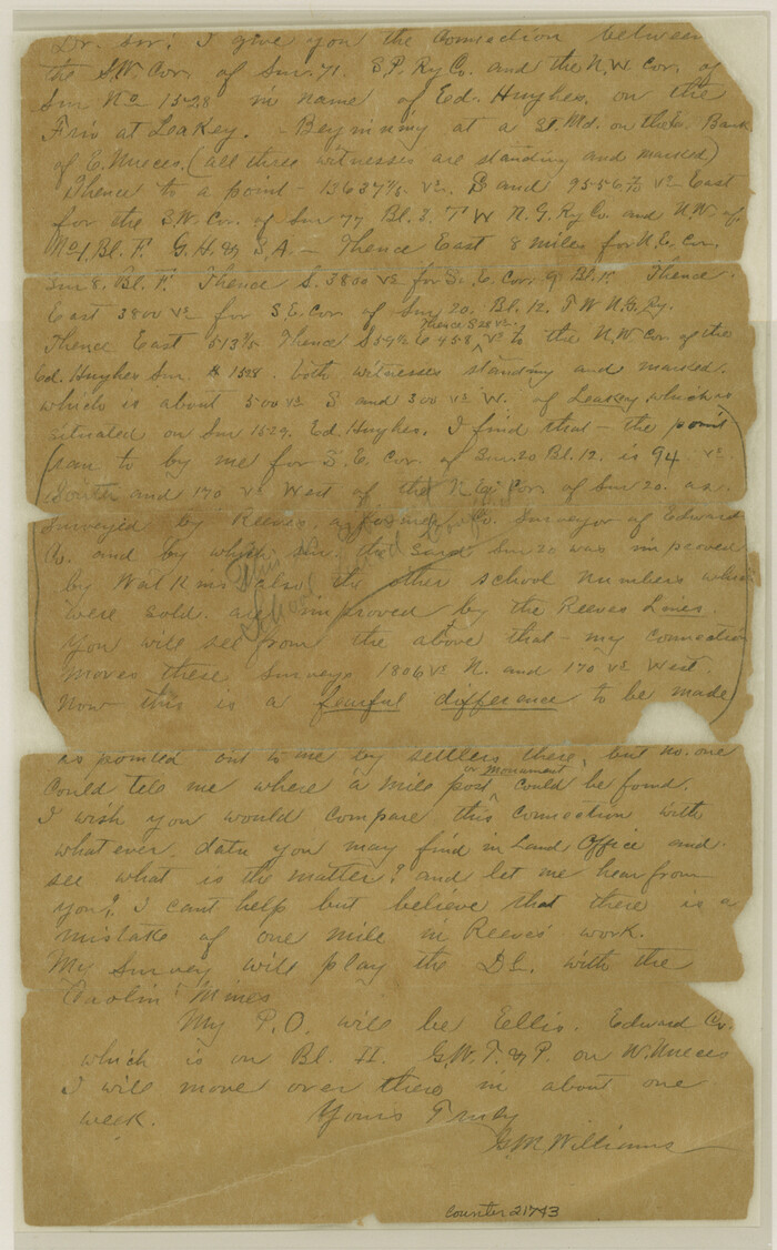
Edwards County Sketch File 22

Print $8.00
- Digital $50.00
Edwards County Sketch File 22
1890
Size 14.4 x 8.9 inches
Map/Doc 21743
![79, [Surveys in Austin's Colony along the west bank of the San Jacinto River], General Map Collection](https://historictexasmaps.com/wmedia_w1800h1800/maps/79-1.tif.jpg)
