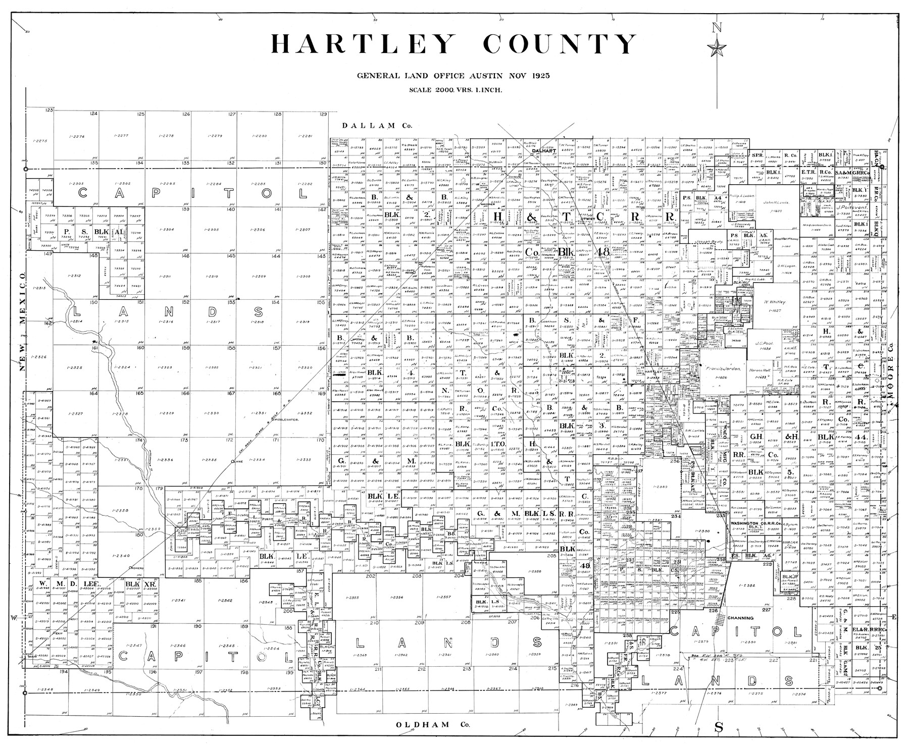
Hartley County
-
Map/Doc
77306
-
Collection
General Map Collection
-
Object Dates
1925 (Creation Date)
-
Counties
Hartley
-
Subjects
County
-
Height x Width
34.2 x 41.5 inches
86.9 x 105.4 cm
Part of: General Map Collection
Land Grant Map of Comal County

Print $20.00
- Digital $50.00
Land Grant Map of Comal County
2006
Size 33.3 x 41.0 inches
Map/Doc 83601
Lampasas County Sketch File X

Print $40.00
- Digital $50.00
Lampasas County Sketch File X
1909
Size 13.2 x 17.4 inches
Map/Doc 29386
Township No. 2 South Range No. 22 West of the Indian Meridian

Print $20.00
- Digital $50.00
Township No. 2 South Range No. 22 West of the Indian Meridian
1875
Size 19.2 x 24.3 inches
Map/Doc 75176
Ector County Working Sketch Graphic Index - sheet A

Print $20.00
- Digital $50.00
Ector County Working Sketch Graphic Index - sheet A
1943
Size 44.5 x 39.1 inches
Map/Doc 76530
Hutchinson County Rolled Sketch 12

Print $20.00
- Digital $50.00
Hutchinson County Rolled Sketch 12
Size 26.1 x 41.4 inches
Map/Doc 6282
Coke County Rolled Sketch 31

Print $20.00
- Digital $50.00
Coke County Rolled Sketch 31
1982
Size 13.3 x 30.2 inches
Map/Doc 5526
Houston County Rolled Sketch 8

Print $20.00
- Digital $50.00
Houston County Rolled Sketch 8
1948
Size 27.7 x 20.3 inches
Map/Doc 6228
Comal County Rolled Sketch 4

Print $20.00
- Digital $50.00
Comal County Rolled Sketch 4
1981
Size 18.8 x 24.5 inches
Map/Doc 5539
Intracoastal Waterway in Texas - Corpus Christi to Point Isabel including Arroyo Colorado to Mo. Pac. R.R. Bridge Near Harlingen

Print $20.00
- Digital $50.00
Intracoastal Waterway in Texas - Corpus Christi to Point Isabel including Arroyo Colorado to Mo. Pac. R.R. Bridge Near Harlingen
1933
Size 28.0 x 41.2 inches
Map/Doc 61872
[Location St. L. & S. W. R. R. Through Cherokee County]
![64045, [Location St. L. & S. W. R. R. Through Cherokee County], General Map Collection](https://historictexasmaps.com/wmedia_w700/maps/64045-1.tif.jpg)
Print $40.00
- Digital $50.00
[Location St. L. & S. W. R. R. Through Cherokee County]
Size 38.7 x 76.6 inches
Map/Doc 64045
McMullen County Working Sketch 19

Print $20.00
- Digital $50.00
McMullen County Working Sketch 19
1944
Size 26.1 x 29.2 inches
Map/Doc 70720
Dimmit County Sketch File 44

Print $20.00
- Digital $50.00
Dimmit County Sketch File 44
Size 16.3 x 19.5 inches
Map/Doc 11354
You may also like
Starr County Sketch File 18

Print $20.00
- Digital $50.00
Starr County Sketch File 18
1880
Size 38.2 x 25.1 inches
Map/Doc 10606
Township 2 North Range 11 West, North Western District, Louisiana

Print $20.00
- Digital $50.00
Township 2 North Range 11 West, North Western District, Louisiana
1884
Size 19.7 x 24.7 inches
Map/Doc 65876
Flight Mission No. CUG-1P, Frame 83, Kleberg County

Print $20.00
- Digital $50.00
Flight Mission No. CUG-1P, Frame 83, Kleberg County
1956
Size 18.5 x 22.2 inches
Map/Doc 86148
United States

Print $20.00
- Digital $50.00
United States
1838
Size 12.2 x 19.6 inches
Map/Doc 97099
Archer County Working Sketch 1

Print $20.00
- Digital $50.00
Archer County Working Sketch 1
Size 42.4 x 42.0 inches
Map/Doc 67141
Map of Defunct and Ghost Counties in Texas

Print $20.00
- Digital $50.00
Map of Defunct and Ghost Counties in Texas
1939
Size 35.0 x 35.9 inches
Map/Doc 2148
Map of Trinity County

Print $20.00
- Digital $50.00
Map of Trinity County
Size 17.8 x 24.8 inches
Map/Doc 760
[I. & G. N. Block 1, Secs. 65-75]
![90306, [I. & G. N. Block 1, Secs. 65-75], Twichell Survey Records](https://historictexasmaps.com/wmedia_w700/maps/90306-1.tif.jpg)
Print $20.00
- Digital $50.00
[I. & G. N. Block 1, Secs. 65-75]
1928
Size 24.9 x 21.3 inches
Map/Doc 90306
Flight Mission No. DQO-12K, Frame 42, Galveston County

Print $20.00
- Digital $50.00
Flight Mission No. DQO-12K, Frame 42, Galveston County
1952
Size 18.6 x 22.3 inches
Map/Doc 85232
Bandera County Working Sketch 26

Print $20.00
- Digital $50.00
Bandera County Working Sketch 26
1951
Size 32.3 x 28.4 inches
Map/Doc 67622
Pecos County Sketch File 29

Print $20.00
- Digital $50.00
Pecos County Sketch File 29
1929
Size 26.1 x 15.8 inches
Map/Doc 12170
Tom Green County Sketch File 62

Print $20.00
- Digital $50.00
Tom Green County Sketch File 62
1890
Size 27.7 x 43.9 inches
Map/Doc 10405