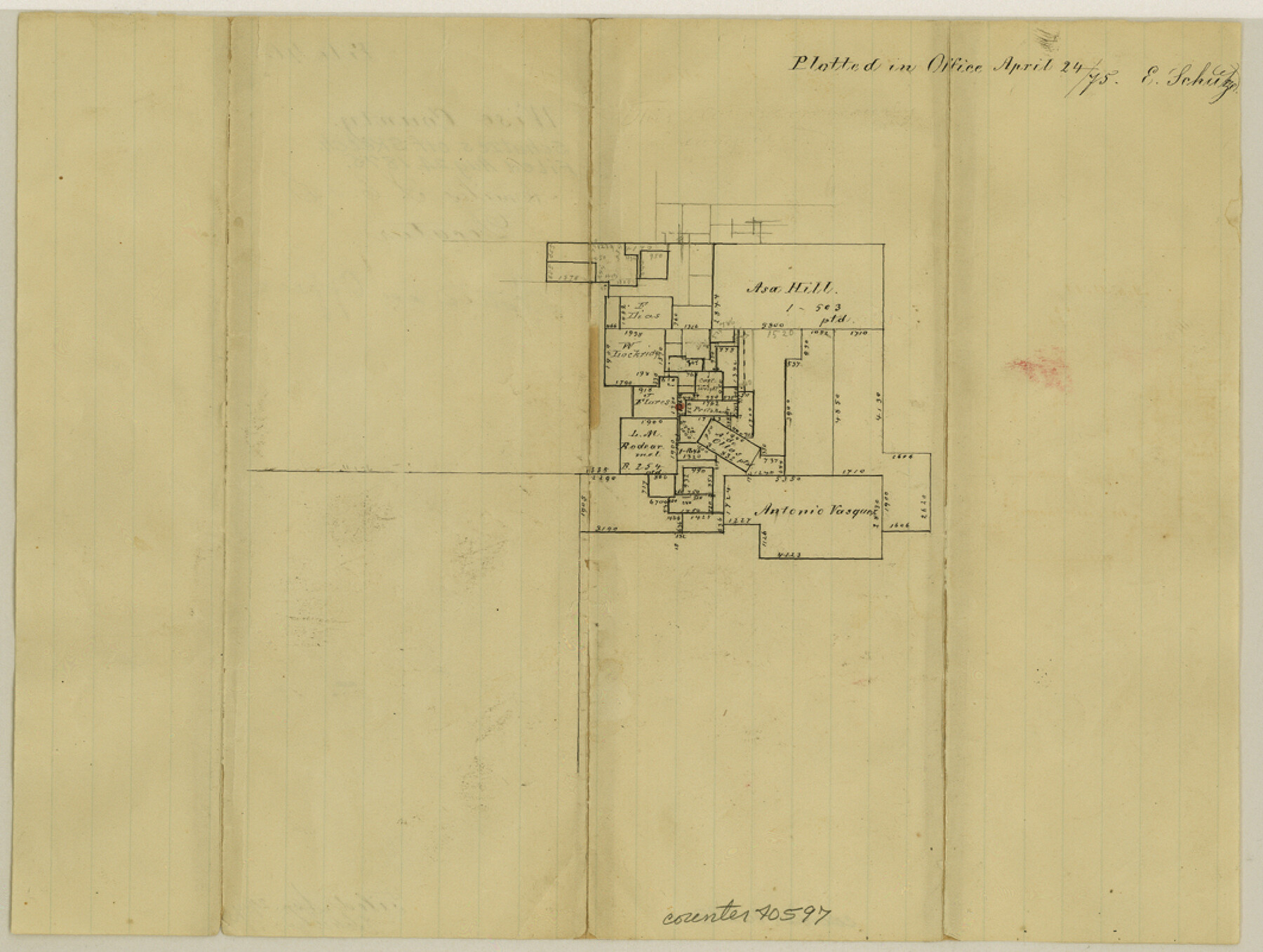
Wise County Sketch File 40
[Office sketch of surveys southeast of Decatur]
-
Map/Doc
40597
-
Collection
General Map Collection
-
Object Dates
4/24/1875 (Creation Date)
-
People and Organizations
E. Schutze (Draftsman)
-
Counties
Wise
-
Subjects
Surveying Sketch File
-
Height x Width
8.0 x 10.6 inches
20.3 x 26.9 cm
Part of: General Map Collection
Brazos River, East Waco Sheet

Print $6.00
- Digital $50.00
Brazos River, East Waco Sheet
1928
Size 31.6 x 25.9 inches
Map/Doc 65283
[Map of Parker County]
![3941, [Map of Parker County], General Map Collection](https://historictexasmaps.com/wmedia_w700/maps/3941.tif.jpg)
Print $20.00
- Digital $50.00
[Map of Parker County]
Size 22.0 x 34.0 inches
Map/Doc 3941
Chambers County Working Sketch 18

Print $20.00
- Digital $50.00
Chambers County Working Sketch 18
1965
Size 39.8 x 29.2 inches
Map/Doc 68001
Eastland County Working Sketch 59

Print $20.00
- Digital $50.00
Eastland County Working Sketch 59
1987
Size 19.7 x 37.9 inches
Map/Doc 68840
Webb County Sketch File 73

Print $20.00
- Digital $50.00
Webb County Sketch File 73
2020
Size 11.0 x 8.5 inches
Map/Doc 95917
Jefferson County

Print $20.00
- Digital $50.00
Jefferson County
1873
Size 22.9 x 19.9 inches
Map/Doc 3728
Bowie County Working Sketch 15

Print $20.00
- Digital $50.00
Bowie County Working Sketch 15
1960
Size 34.5 x 25.8 inches
Map/Doc 67419
Terrell County Working Sketch 11

Print $20.00
- Digital $50.00
Terrell County Working Sketch 11
1934
Size 18.5 x 15.0 inches
Map/Doc 62160
Crane County Rolled Sketch 5

Print $20.00
- Digital $50.00
Crane County Rolled Sketch 5
1927
Size 38.4 x 45.7 inches
Map/Doc 8677
Roberts County Working Sketch 35

Print $20.00
- Digital $50.00
Roberts County Working Sketch 35
1978
Size 26.7 x 22.5 inches
Map/Doc 63561
Denton County Boundary File 1a

Print $24.00
- Digital $50.00
Denton County Boundary File 1a
Size 12.4 x 8.1 inches
Map/Doc 52401
Flight Mission No. BRA-7M, Frame 33, Jefferson County

Print $20.00
- Digital $50.00
Flight Mission No. BRA-7M, Frame 33, Jefferson County
1953
Size 18.6 x 22.4 inches
Map/Doc 85484
You may also like
Mills County Working Sketch 19

Print $20.00
- Digital $50.00
Mills County Working Sketch 19
1963
Size 18.6 x 31.2 inches
Map/Doc 71049
El Paso County Working Sketch 11

Print $40.00
- Digital $50.00
El Paso County Working Sketch 11
1955
Size 49.2 x 43.4 inches
Map/Doc 69033
Flight Mission No. BRA-3M, Frame 200, Jefferson County

Print $20.00
- Digital $50.00
Flight Mission No. BRA-3M, Frame 200, Jefferson County
1953
Size 18.5 x 22.4 inches
Map/Doc 85415
Montague County Working Sketch 9

Print $20.00
- Digital $50.00
Montague County Working Sketch 9
1928
Size 14.0 x 11.9 inches
Map/Doc 71075
Montgomery County Rolled Sketch 27

Print $20.00
- Digital $50.00
Montgomery County Rolled Sketch 27
Size 34.5 x 34.4 inches
Map/Doc 9536
[East Part of Block 37, Township 2 North]
![91395, [East Part of Block 37, Township 2 North], Twichell Survey Records](https://historictexasmaps.com/wmedia_w700/maps/91395-1.tif.jpg)
Print $3.00
- Digital $50.00
[East Part of Block 37, Township 2 North]
Size 9.6 x 17.6 inches
Map/Doc 91395
Flight Mission No. CLL-3N, Frame 37, Willacy County

Print $20.00
- Digital $50.00
Flight Mission No. CLL-3N, Frame 37, Willacy County
1954
Size 18.6 x 22.2 inches
Map/Doc 87095
Rio Grande, Mercedes and La Feria Sheet

Print $20.00
- Digital $50.00
Rio Grande, Mercedes and La Feria Sheet
1937
Size 37.3 x 37.2 inches
Map/Doc 65126
Edwards County Working Sketch 9

Print $20.00
- Digital $50.00
Edwards County Working Sketch 9
1920
Size 22.2 x 34.7 inches
Map/Doc 68885
Leon County Working Sketch 20

Print $20.00
- Digital $50.00
Leon County Working Sketch 20
1963
Size 37.8 x 38.2 inches
Map/Doc 70419
Schleicher County Rolled Sketch 3

Print $20.00
- Digital $50.00
Schleicher County Rolled Sketch 3
1890
Size 41.5 x 31.2 inches
Map/Doc 8362
Collingsworth County Working Sketch 2

Print $40.00
- Digital $50.00
Collingsworth County Working Sketch 2
1957
Size 44.2 x 122.7 inches
Map/Doc 68090