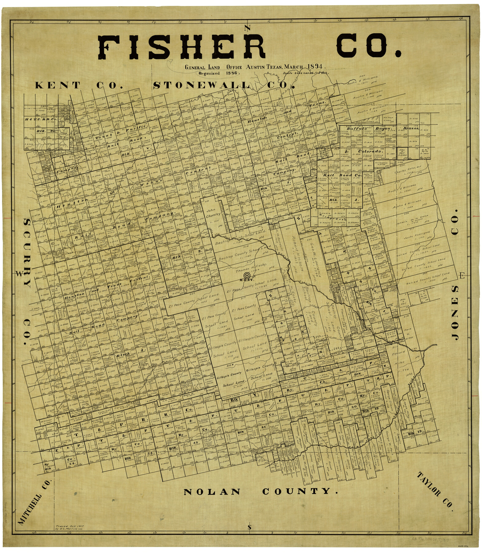
Fisher Co.
-
Map/Doc
4946
-
Collection
General Map Collection
-
Object Dates
1894 (Creation Date)
-
People and Organizations
Texas General Land Office (Publisher)
-
Counties
Fisher
-
Subjects
County
-
Height x Width
46.4 x 40.4 inches
117.9 x 102.6 cm
-
Comments
Traced in October 1917 by G. C. Morriss.
Part of: General Map Collection
Edwards County Working Sketch 69

Print $20.00
- Digital $50.00
Edwards County Working Sketch 69
1957
Size 20.3 x 22.5 inches
Map/Doc 68945
Freestone County Sketch File 10

Print $40.00
- Digital $50.00
Freestone County Sketch File 10
Size 13.0 x 13.5 inches
Map/Doc 23058
Right of Way and Track Map, the Missouri, Kansas and Texas Ry. of Texas - Henrietta Division

Print $20.00
- Digital $50.00
Right of Way and Track Map, the Missouri, Kansas and Texas Ry. of Texas - Henrietta Division
1918
Size 11.8 x 27.0 inches
Map/Doc 64761
Howard County Working Sketch 3

Print $20.00
- Digital $50.00
Howard County Working Sketch 3
1904
Size 26.8 x 20.1 inches
Map/Doc 66269
A Pocket Guide to Austin, Texas - Area Map and Downtown Map

A Pocket Guide to Austin, Texas - Area Map and Downtown Map
Size 17.2 x 20.2 inches
Map/Doc 94386
Jones County Sketch File 18

Print $6.00
- Digital $50.00
Jones County Sketch File 18
1981
Size 13.9 x 11.0 inches
Map/Doc 28514
Duval County Sketch File 60

Print $6.00
- Digital $50.00
Duval County Sketch File 60
1940
Size 11.3 x 9.0 inches
Map/Doc 21428
Dawson County Sketch File 9

Print $4.00
- Digital $50.00
Dawson County Sketch File 9
1925
Size 11.3 x 8.7 inches
Map/Doc 20542
Map of San Antonio Showing Original Townsite in Relation to Mission Valero

Map of San Antonio Showing Original Townsite in Relation to Mission Valero
2017
Size 11.0 x 8.5 inches
Map/Doc 94244
Carta Orografica

Print $20.00
- Digital $50.00
Carta Orografica
Size 26.0 x 34.4 inches
Map/Doc 96802
Current Miscellaneous File 68

Print $22.00
- Digital $50.00
Current Miscellaneous File 68
Size 11.2 x 8.8 inches
Map/Doc 74134
Chambers County Sketch File 42

Print $149.00
- Digital $50.00
Chambers County Sketch File 42
1917
Size 14.3 x 8.8 inches
Map/Doc 17700
You may also like
Tarrant County Working Sketch 17

Print $20.00
- Digital $50.00
Tarrant County Working Sketch 17
1983
Size 24.6 x 20.7 inches
Map/Doc 62434
The Texas and Pacific Ry. Co., Station Map, Iatan, Mitchell County, Texas

Print $20.00
- Digital $50.00
The Texas and Pacific Ry. Co., Station Map, Iatan, Mitchell County, Texas
1929
Size 11.0 x 18.4 inches
Map/Doc 64667
Ward County Working Sketch 45

Print $40.00
- Digital $50.00
Ward County Working Sketch 45
1973
Size 56.8 x 28.3 inches
Map/Doc 72351
Orange County Rolled Sketch 19A

Print $20.00
- Digital $50.00
Orange County Rolled Sketch 19A
1945
Size 17.3 x 24.7 inches
Map/Doc 7184
Lamb County Boundary File 4

Print $16.00
- Digital $50.00
Lamb County Boundary File 4
Size 11.3 x 8.7 inches
Map/Doc 56084
Presidio County Rolled Sketch 131A

Print $20.00
- Digital $50.00
Presidio County Rolled Sketch 131A
1975
Size 30.5 x 24.9 inches
Map/Doc 10706
Culberson County Working Sketch 29

Print $40.00
- Digital $50.00
Culberson County Working Sketch 29
1957
Size 21.8 x 117.6 inches
Map/Doc 68482
Mason County Working Sketch 21

Print $20.00
- Digital $50.00
Mason County Working Sketch 21
1945
Size 37.1 x 43.2 inches
Map/Doc 70857
Galveston County NRC Article 33.136 Sketch 78

Print $24.00
- Digital $50.00
Galveston County NRC Article 33.136 Sketch 78
2015
Size 36.0 x 24.0 inches
Map/Doc 95129
Crockett County Working Sketch 45

Print $20.00
- Digital $50.00
Crockett County Working Sketch 45
1933
Size 33.7 x 26.8 inches
Map/Doc 68378
Val Verde County Rolled Sketch 63

Print $20.00
- Digital $50.00
Val Verde County Rolled Sketch 63
1956
Size 37.5 x 41.8 inches
Map/Doc 10082
Kent County Working Sketch 5

Print $40.00
- Digital $50.00
Kent County Working Sketch 5
1950
Size 36.7 x 50.1 inches
Map/Doc 70012