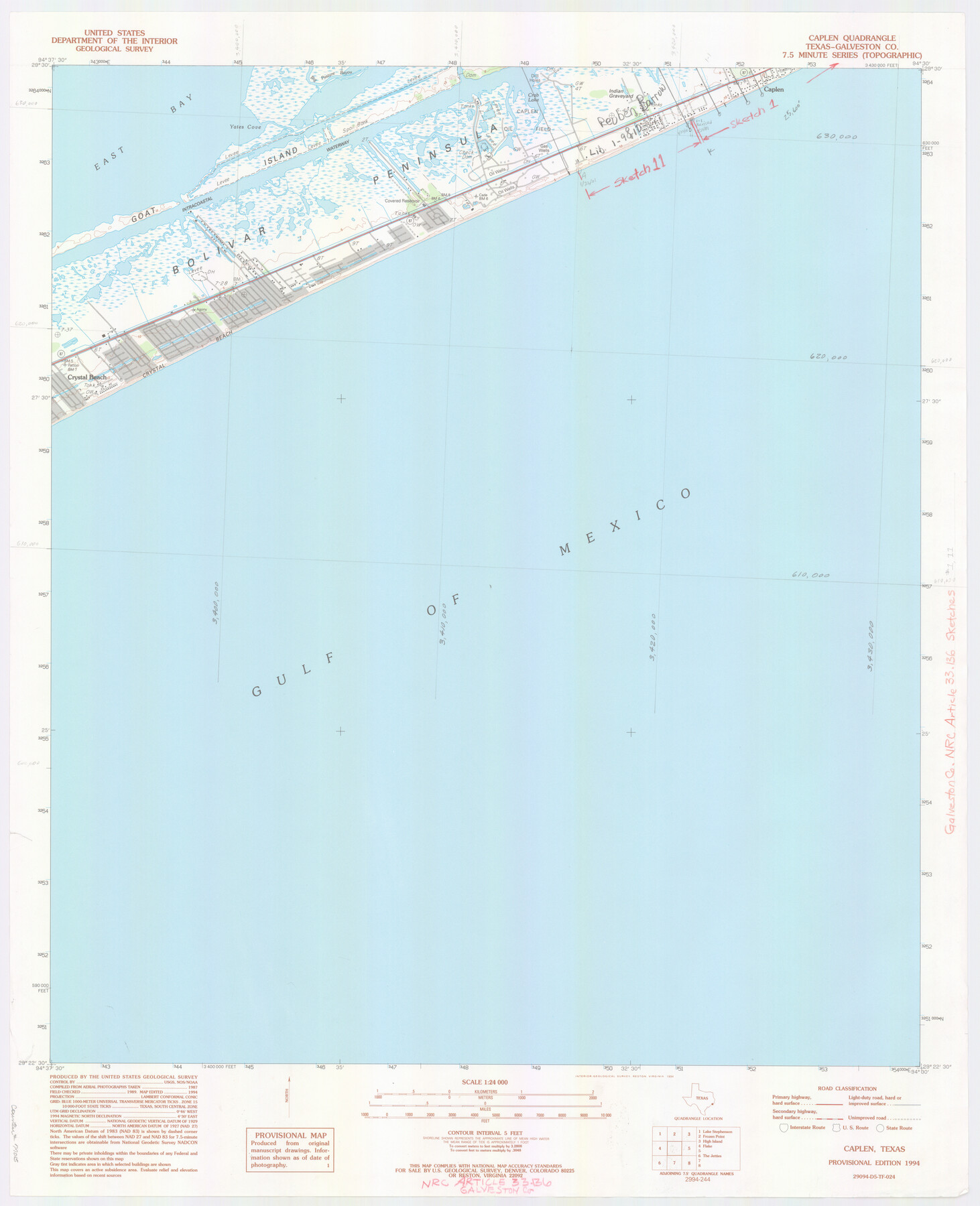
Galveston County NRC Article 33.136 Location Key Sheet
Smith Point Quadrangle
-
Map/Doc
77015
-
Collection
General Map Collection
-
Object Dates
1994 (Creation Date)
-
People and Organizations
U. S. Geological Survey (Publisher)
U. S. Geological Survey (Printer)
-
Counties
Galveston
-
Subjects
Surveying CBS
-
Height x Width
27.0 x 22.0 inches
68.6 x 55.9 cm
Part of: General Map Collection
Hays County Working Sketch 21

Print $40.00
- Digital $50.00
Hays County Working Sketch 21
1980
Size 42.7 x 65.6 inches
Map/Doc 66095
Travis County Appraisal District Plat Map 2_2915

Print $20.00
- Digital $50.00
Travis County Appraisal District Plat Map 2_2915
Size 21.5 x 26.4 inches
Map/Doc 94219
[Sketch for Mineral Application 16700 - Pecos River Bed]
![2808, [Sketch for Mineral Application 16700 - Pecos River Bed], General Map Collection](https://historictexasmaps.com/wmedia_w700/maps/2808.tif.jpg)
Print $20.00
- Digital $50.00
[Sketch for Mineral Application 16700 - Pecos River Bed]
1927
Size 19.9 x 30.9 inches
Map/Doc 2808

Knox County Sketch File 29

Print $20.00
- Digital $50.00
Knox County Sketch File 29
Size 18.6 x 36.1 inches
Map/Doc 11965
[Galveston, Harrisburg & San Antonio Railway]
![64402, [Galveston, Harrisburg & San Antonio Railway], General Map Collection](https://historictexasmaps.com/wmedia_w700/maps/64402.tif.jpg)
Print $20.00
- Digital $50.00
[Galveston, Harrisburg & San Antonio Railway]
1892
Size 13.5 x 33.7 inches
Map/Doc 64402
Zavala County Sketch File 9

Print $20.00
- Digital $50.00
Zavala County Sketch File 9
1884
Size 29.1 x 15.9 inches
Map/Doc 12727
Montague County Sketch File 27

Print $20.00
- Digital $50.00
Montague County Sketch File 27
1954
Size 15.8 x 22.5 inches
Map/Doc 12109
Fayette County Working Sketch 1

Print $20.00
- Digital $50.00
Fayette County Working Sketch 1
1949
Size 25.4 x 18.0 inches
Map/Doc 69165
Hunt County Sketch File 14

Print $4.00
- Digital $50.00
Hunt County Sketch File 14
1851
Size 8.5 x 15.2 inches
Map/Doc 27107
Stonewall County Sketch File 12 and 12a

Print $30.00
- Digital $50.00
Stonewall County Sketch File 12 and 12a
1900
Size 9.2 x 9.0 inches
Map/Doc 37240
Schleicher County Sketch File 13

Print $10.00
- Digital $50.00
Schleicher County Sketch File 13
1916
Size 14.4 x 8.9 inches
Map/Doc 36493
You may also like
Due Southwest over the Cotton Belt Route

Due Southwest over the Cotton Belt Route
1891
Map/Doc 96773
Flight Mission No. CLL-1N, Frame 112, Willacy County

Print $20.00
- Digital $50.00
Flight Mission No. CLL-1N, Frame 112, Willacy County
1954
Size 18.4 x 20.1 inches
Map/Doc 87046
Flight Mission No. BRE-2P, Frame 100, Nueces County

Print $20.00
- Digital $50.00
Flight Mission No. BRE-2P, Frame 100, Nueces County
1956
Size 18.5 x 22.3 inches
Map/Doc 86785
Map Showing Eastern Portion of Pecos County, Texas

Print $40.00
- Digital $50.00
Map Showing Eastern Portion of Pecos County, Texas
Size 62.2 x 43.5 inches
Map/Doc 89835
Brewster County Sketch File N-20

Print $40.00
- Digital $50.00
Brewster County Sketch File N-20
1941
Size 16.5 x 20.5 inches
Map/Doc 10967
Map of Harrison County

Print $20.00
- Digital $50.00
Map of Harrison County
1911
Size 43.8 x 39.8 inches
Map/Doc 4698
Medina County Rolled Sketch 18

Print $20.00
- Digital $50.00
Medina County Rolled Sketch 18
Size 33.4 x 25.3 inches
Map/Doc 6751
Gregg County Boundary File 8

Print $8.00
- Digital $50.00
Gregg County Boundary File 8
Size 14.0 x 8.6 inches
Map/Doc 54019
Carson County Boundary File 8a

Print $40.00
- Digital $50.00
Carson County Boundary File 8a
Size 12.5 x 34.7 inches
Map/Doc 51173
Kendall County Working Sketch Graphic Index

Print $20.00
- Digital $50.00
Kendall County Working Sketch Graphic Index
1946
Size 40.3 x 34.8 inches
Map/Doc 76602
Brewster County Rolled Sketch 131

Print $20.00
- Digital $50.00
Brewster County Rolled Sketch 131
1975
Size 30.0 x 32.3 inches
Map/Doc 8522
Kleberg County Rolled Sketch 10-21

Print $20.00
- Digital $50.00
Kleberg County Rolled Sketch 10-21
1952
Size 37.5 x 32.9 inches
Map/Doc 9403