Kleberg County Rolled Sketch 10-21
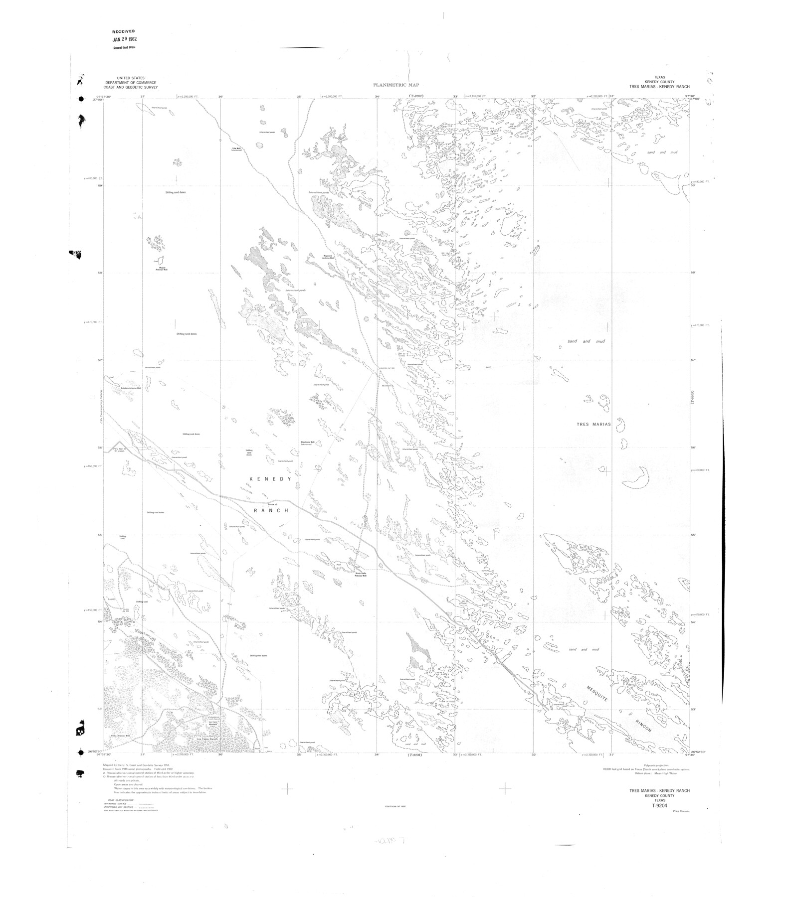
Planimetric Map, Tres Marias - Kenedy Ranch, Kenedy County, Texas T-9204
-
Map/Doc
9403
-
Collection
General Map Collection
-
Object Dates
1952 (Creation Date)
1962/1/29 (File Date)
-
People and Organizations
U.S. Coast and Geodetic Survey (Publisher)
-
Counties
Kenedy
-
Subjects
Surveying Rolled Sketch
-
Height x Width
37.5 x 32.9 inches
95.3 x 83.6 cm
Part of: General Map Collection
Moore County Sketch File X

Print $20.00
- Digital $50.00
Moore County Sketch File X
Size 34.3 x 24.6 inches
Map/Doc 42131

Hutchinson County Sketch File 48

Print $38.00
- Digital $50.00
Hutchinson County Sketch File 48
1989
Size 11.2 x 8.8 inches
Map/Doc 27400
San Patricio County Sketch File 44

Print $12.00
- Digital $50.00
San Patricio County Sketch File 44
1942
Size 11.4 x 8.9 inches
Map/Doc 36267
Lampasas County Working Sketch 18

Print $20.00
- Digital $50.00
Lampasas County Working Sketch 18
1977
Size 46.1 x 44.0 inches
Map/Doc 70295
Flight Mission No. DAG-17K, Frame 72, Matagorda County

Print $20.00
- Digital $50.00
Flight Mission No. DAG-17K, Frame 72, Matagorda County
1952
Size 18.6 x 22.4 inches
Map/Doc 86331
Outer Continental Shelf Leasing Map, Texas

Print $20.00
- Digital $50.00
Outer Continental Shelf Leasing Map, Texas
1954
Size 17.3 x 22.2 inches
Map/Doc 75832

Flight Mission No. DQN-7K, Frame 16, Calhoun County

Print $20.00
- Digital $50.00
Flight Mission No. DQN-7K, Frame 16, Calhoun County
1953
Size 18.5 x 22.1 inches
Map/Doc 84467
Flight Mission No. DQN-2K, Frame 29, Calhoun County

Print $20.00
- Digital $50.00
Flight Mission No. DQN-2K, Frame 29, Calhoun County
1953
Size 18.7 x 22.3 inches
Map/Doc 84236
Roseborough Lake Sheet, Bowie County, Red River

Print $20.00
- Digital $50.00
Roseborough Lake Sheet, Bowie County, Red River
1934
Size 39.5 x 23.0 inches
Map/Doc 75273
[Sketch for Mineral Application 26649-26650 - Sabine River, Harry A. Wolan]
![65565, [Sketch for Mineral Application 26649-26650 - Sabine River, Harry A. Wolan], General Map Collection](https://historictexasmaps.com/wmedia_w700/maps/65565.tif.jpg)
Print $40.00
- Digital $50.00
[Sketch for Mineral Application 26649-26650 - Sabine River, Harry A. Wolan]
Size 36.8 x 71.9 inches
Map/Doc 65565
You may also like
Kent County Boundary File 9

Print $8.00
- Digital $50.00
Kent County Boundary File 9
Size 14.1 x 8.8 inches
Map/Doc 55883
Uvalde County Working Sketch 41

Print $20.00
- Digital $50.00
Uvalde County Working Sketch 41
1975
Size 15.6 x 27.4 inches
Map/Doc 72111
[Sketch of Blocks M-19, 21W, JAD, 9 and G. & M. Block 5]
![91736, [Sketch of Blocks M-19, 21W, JAD, 9 and G. & M. Block 5], Twichell Survey Records](https://historictexasmaps.com/wmedia_w700/maps/91736-1.tif.jpg)
Print $20.00
- Digital $50.00
[Sketch of Blocks M-19, 21W, JAD, 9 and G. & M. Block 5]
Size 34.0 x 25.9 inches
Map/Doc 91736
Presidio County Sketch File 105

Print $20.00
- Digital $50.00
Presidio County Sketch File 105
Size 15.6 x 42.6 inches
Map/Doc 11726
Mitchell County Rolled Sketch 3

Print $40.00
- Digital $50.00
Mitchell County Rolled Sketch 3
1940
Size 39.6 x 49.0 inches
Map/Doc 9524
Flight Mission No. DCL-7C, Frame 11, Kenedy County

Print $20.00
- Digital $50.00
Flight Mission No. DCL-7C, Frame 11, Kenedy County
1943
Size 15.4 x 15.2 inches
Map/Doc 86003
Armstrong County Sketch File A-14

Print $60.00
- Digital $50.00
Armstrong County Sketch File A-14
Size 17.4 x 20.2 inches
Map/Doc 10855

Red River Co.

Print $20.00
- Digital $50.00
Red River Co.
1897
Size 46.7 x 36.9 inches
Map/Doc 78402
Mustang Island

Print $20.00
- Digital $50.00
Mustang Island
1908
Size 34.8 x 26.2 inches
Map/Doc 78670
Flight Mission No. DQO-8K, Frame 66, Galveston County

Print $20.00
- Digital $50.00
Flight Mission No. DQO-8K, Frame 66, Galveston County
1952
Size 18.7 x 22.4 inches
Map/Doc 85170
Duval County Rolled Sketch 27

Print $40.00
- Digital $50.00
Duval County Rolled Sketch 27
Size 14.6 x 50.6 inches
Map/Doc 8814