Map of [Coleman County]
-
Map/Doc
3413
-
Collection
General Map Collection
-
Object Dates
9/1878 (Creation Date)
-
People and Organizations
Louis C. Wise (Draftsman)
-
Counties
Coleman
-
Subjects
County
-
Height x Width
24.9 x 21.9 inches
63.3 x 55.6 cm
-
Features
Camp Colorado
Colorado River
Bull Creek
Concho River
Elm Creek
Urania Creek
Davids Creek
Thalia Creek
Hogg Lake
Mukewater Creek
Polk Creek
Santa Anna's Peak
Coleman City
Bluff Creek
Jim Ned Creek
Hord's Creek
Robinsons Peak
Cow Creek
Hog Creek
Indian Creek
Pecan Bayou
Turtle Bayou
South Jim Ned Creek
Table Mountain
Rough Creek
Part of: General Map Collection
Montague County Working Sketch 35


Print $20.00
- Digital $50.00
Montague County Working Sketch 35
1980
Size 24.8 x 31.9 inches
Map/Doc 71101
Map of Taylor, Bastrop & Houston Railway through Colorado County, Texas


Print $20.00
- Digital $50.00
Map of Taylor, Bastrop & Houston Railway through Colorado County, Texas
1888
Size 12.7 x 20.0 inches
Map/Doc 64289
Glasscock County


Print $20.00
- Digital $50.00
Glasscock County
1899
Size 38.1 x 33.9 inches
Map/Doc 4707
Potter County
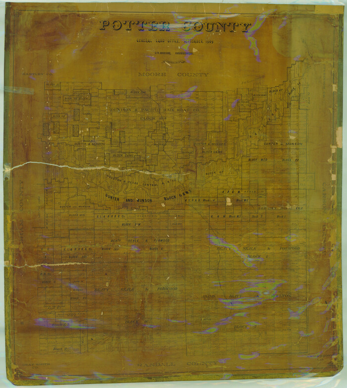

Print $20.00
- Digital $50.00
Potter County
1909
Size 45.3 x 40.6 inches
Map/Doc 16790
Burnet County Rolled Sketch T


Print $20.00
- Digital $50.00
Burnet County Rolled Sketch T
Size 24.7 x 18.3 inches
Map/Doc 5359
Fort Bend County Sketch File 10


Print $20.00
- Digital $50.00
Fort Bend County Sketch File 10
Size 16.9 x 24.9 inches
Map/Doc 11501
Orange County Rolled Sketch 29


Print $20.00
- Digital $50.00
Orange County Rolled Sketch 29
1960
Size 25.9 x 37.2 inches
Map/Doc 7187
Hutchinson County Working Sketch 43
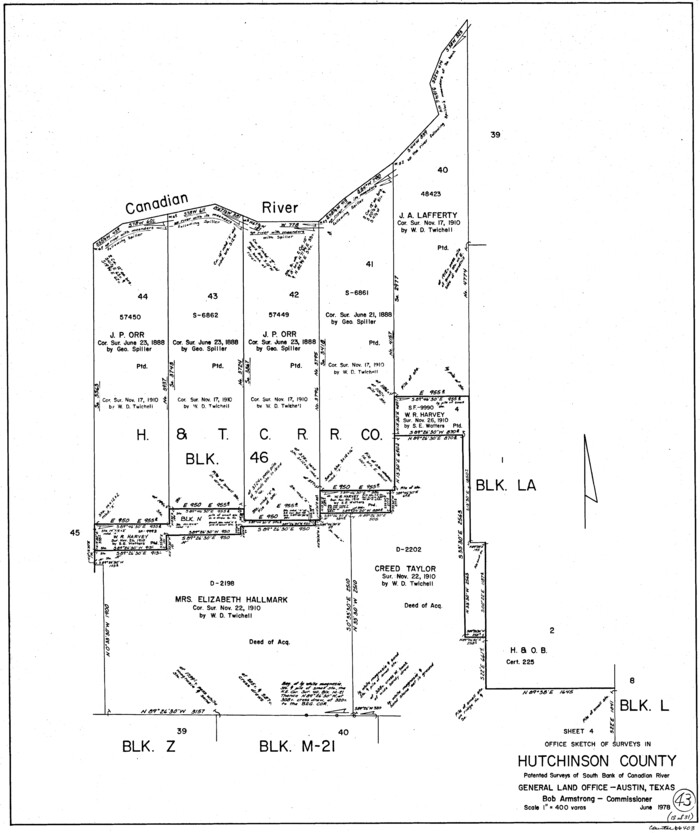

Print $20.00
- Digital $50.00
Hutchinson County Working Sketch 43
1978
Size 26.6 x 22.3 inches
Map/Doc 66403
Gray County Sketch File 9
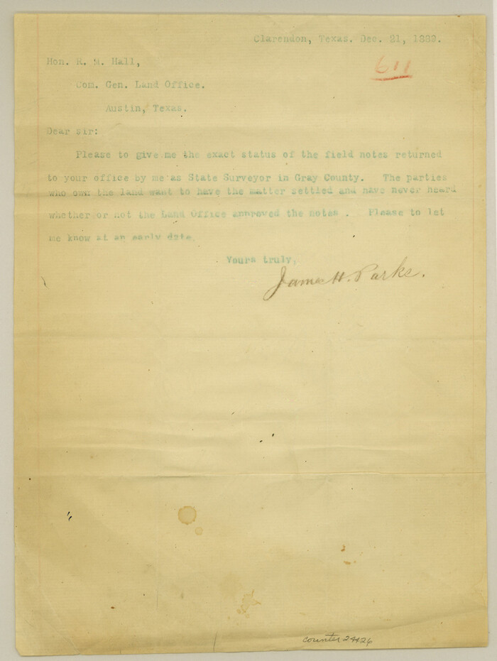

Print $38.00
- Digital $50.00
Gray County Sketch File 9
1889
Size 11.2 x 8.4 inches
Map/Doc 24426
Flight Mission No. BRA-7M, Frame 181, Jefferson County


Print $20.00
- Digital $50.00
Flight Mission No. BRA-7M, Frame 181, Jefferson County
1953
Size 18.6 x 22.4 inches
Map/Doc 85549
Kleberg County Sketch File 2
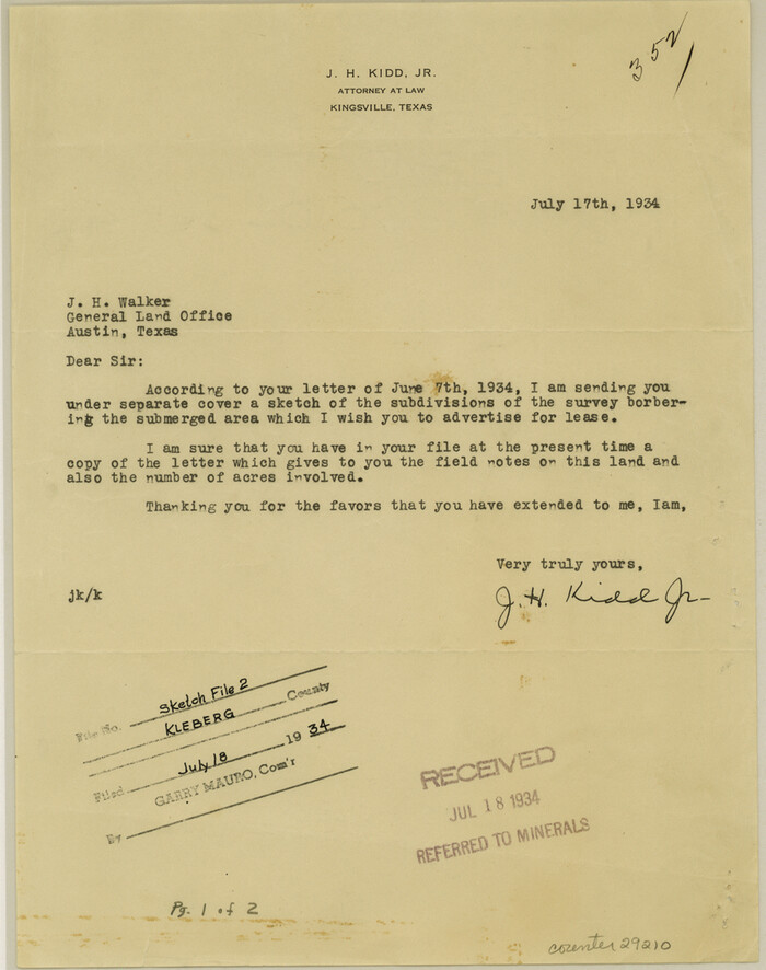

Print $5.00
- Digital $50.00
Kleberg County Sketch File 2
1934
Size 11.1 x 8.8 inches
Map/Doc 29210
You may also like
Kleberg County Sketch File 2


Print $5.00
- Digital $50.00
Kleberg County Sketch File 2
1934
Size 11.1 x 8.8 inches
Map/Doc 29210
Dawson County Sketch


Print $20.00
- Digital $50.00
Dawson County Sketch
Size 37.0 x 20.5 inches
Map/Doc 92628
Plat Showing Block Z, W. D. and F. W. Johnson Subdivision, Bailey County, Texas
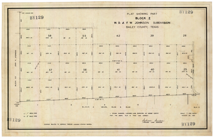

Print $20.00
- Digital $50.00
Plat Showing Block Z, W. D. and F. W. Johnson Subdivision, Bailey County, Texas
1955
Size 24.3 x 15.7 inches
Map/Doc 92538
Rusk County Working Sketch 37a


Print $40.00
- Digital $50.00
Rusk County Working Sketch 37a
2007
Size 54.5 x 34.2 inches
Map/Doc 87496
Harris County Working Sketch 129
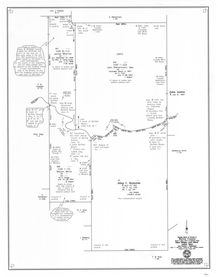

Print $20.00
- Digital $50.00
Harris County Working Sketch 129
2014
Size 24.2 x 19.1 inches
Map/Doc 93711
Map of the New England or Eastern States engraved to illustrate Mitchell's new intermediate geography


Print $20.00
- Digital $50.00
Map of the New England or Eastern States engraved to illustrate Mitchell's new intermediate geography
1885
Size 12.2 x 9.0 inches
Map/Doc 93515
Real County Working Sketch 71
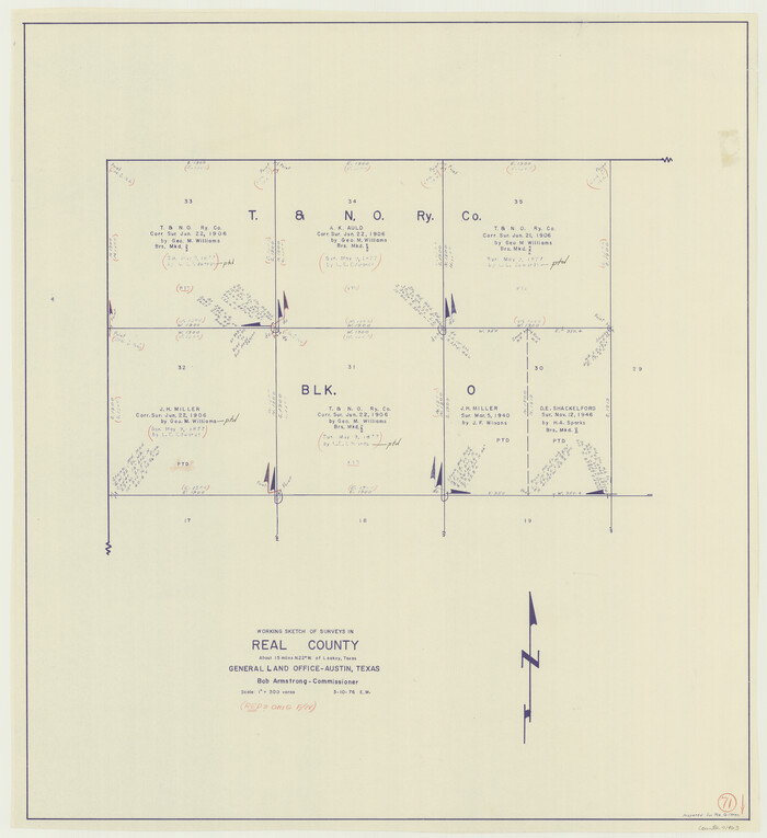

Print $20.00
- Digital $50.00
Real County Working Sketch 71
1976
Size 31.8 x 29.1 inches
Map/Doc 71963
Burnet County Sketch File 18
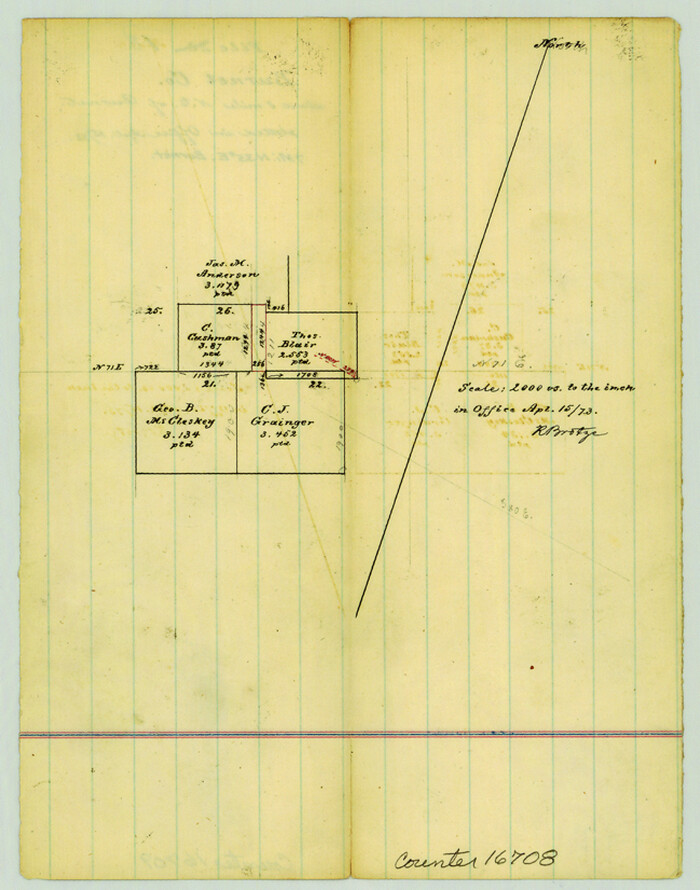

Print $4.00
- Digital $50.00
Burnet County Sketch File 18
1873
Size 8.3 x 6.5 inches
Map/Doc 16708
Sutton County Working Sketch 24
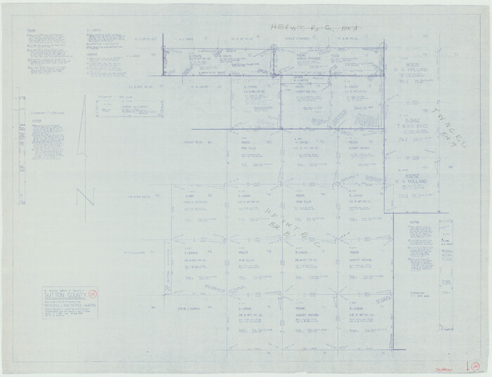

Print $20.00
- Digital $50.00
Sutton County Working Sketch 24
1985
Size 32.6 x 42.5 inches
Map/Doc 62367
Henderson County
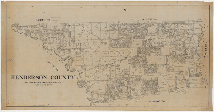

Print $40.00
- Digital $50.00
Henderson County
1922
Size 33.3 x 62.4 inches
Map/Doc 1854
Arthur E. Miller Irrigated Farm West Half Section 19, Block D6


Print $20.00
- Digital $50.00
Arthur E. Miller Irrigated Farm West Half Section 19, Block D6
Size 11.9 x 21.8 inches
Map/Doc 92317
Kent County Rolled Sketch 7
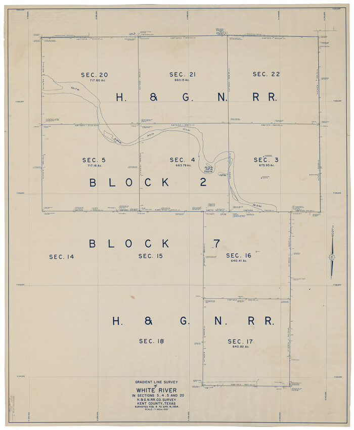

Print $40.00
- Digital $50.00
Kent County Rolled Sketch 7
1954
Size 51.8 x 42.6 inches
Map/Doc 10221
![3413, Map of [Coleman County], General Map Collection](https://historictexasmaps.com/wmedia_w1800h1800/maps/3413-1.tif.jpg)
