Rusk County Rolled Sketch OBS
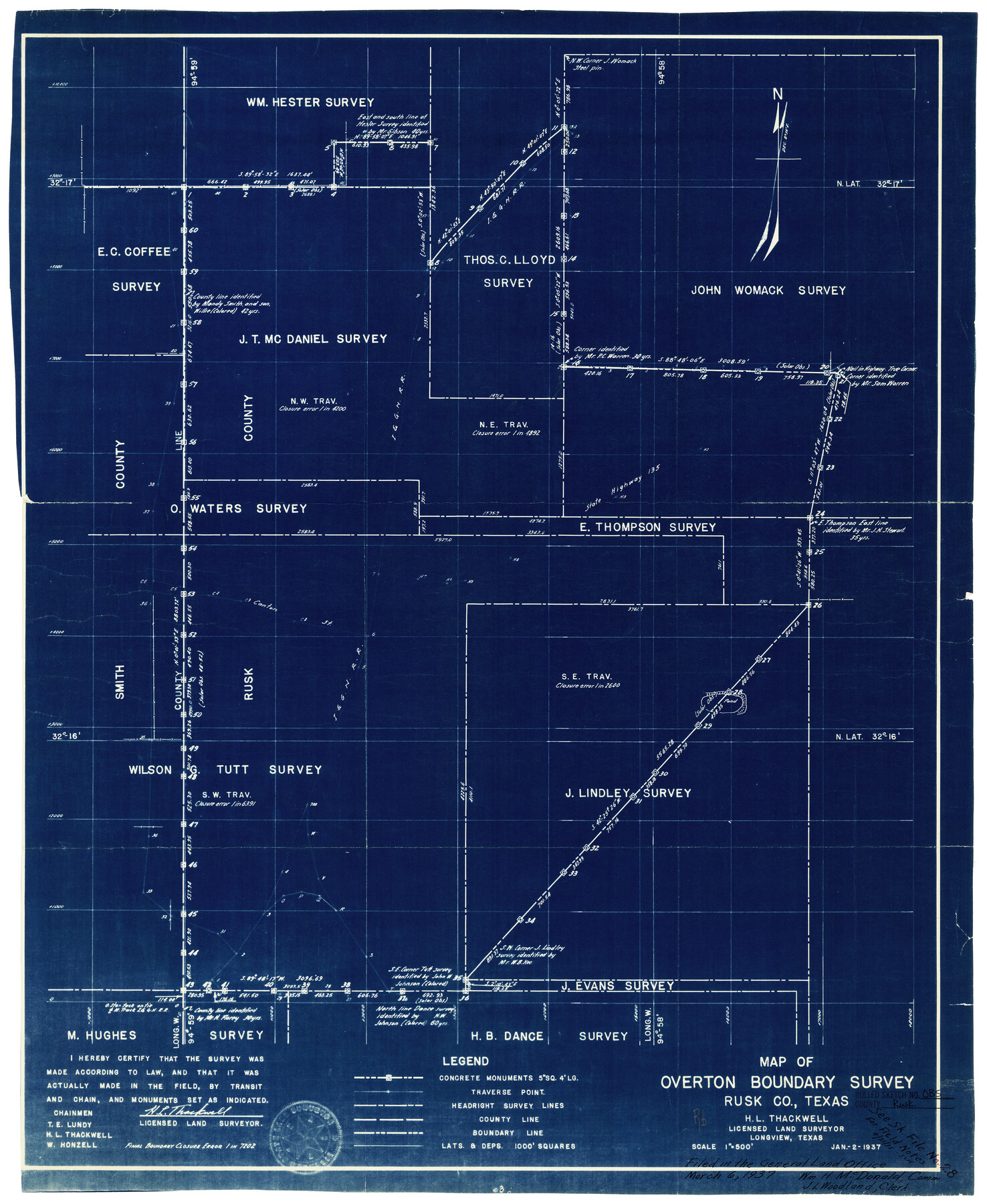
Map of Overton Boundary survey
-
Map/Doc
7550
-
Collection
General Map Collection
-
Object Dates
1/2/1937 (Creation Date)
3/6/1937 (File Date)
-
People and Organizations
H.L. Thackwell (Surveyor/Engineer)
T.E. Lundy (Chainman/Field Personnel)
W. Honzell (Chainman/Field Personnel)
-
Counties
Rusk Smith
-
Subjects
Surveying Rolled Sketch
-
Height x Width
26.3 x 21.8 inches
66.8 x 55.4 cm
-
Medium
blueprint/diazo
-
Scale
1" = 500 feet
Related maps
Rusk County Sketch File 28

Print $24.00
Rusk County Sketch File 28
1937
Size 11.4 x 8.7 inches
Map/Doc 35542
Part of: General Map Collection
Wise County Sketch File 22

Print $4.00
- Digital $50.00
Wise County Sketch File 22
1860
Size 7.5 x 7.2 inches
Map/Doc 40566
Stephens County Working Sketch 12

Print $20.00
- Digital $50.00
Stephens County Working Sketch 12
1947
Size 20.9 x 22.2 inches
Map/Doc 63955
Brewster County Working Sketch 119

Print $20.00
- Digital $50.00
Brewster County Working Sketch 119
1909
Size 29.3 x 29.0 inches
Map/Doc 67719
Bexar County Working Sketch 20

Print $20.00
- Digital $50.00
Bexar County Working Sketch 20
1982
Size 42.4 x 43.6 inches
Map/Doc 67336
Briscoe County Sketch File E

Print $40.00
- Digital $50.00
Briscoe County Sketch File E
Size 26.0 x 33.7 inches
Map/Doc 11003
Prison Property, Walker Co.

Print $20.00
- Digital $50.00
Prison Property, Walker Co.
Size 19.3 x 20.2 inches
Map/Doc 94278
Baylor County Aerial Photograph Index Sheet 2

Print $20.00
- Digital $50.00
Baylor County Aerial Photograph Index Sheet 2
1950
Size 22.2 x 15.4 inches
Map/Doc 83664
Crane County Sketch File 17

Print $6.00
- Digital $50.00
Crane County Sketch File 17
1927
Size 11.1 x 8.4 inches
Map/Doc 19581
[Sketch for Mineral Applications 7410, 7411, 7412, 7413, 7712 - Kleberg County]
![65623, [Sketch for Mineral Applications 7410, 7411, 7412, 7413, 7712 - Kleberg County], General Map Collection](https://historictexasmaps.com/wmedia_w700/maps/65623-1.tif.jpg)
Print $40.00
- Digital $50.00
[Sketch for Mineral Applications 7410, 7411, 7412, 7413, 7712 - Kleberg County]
1977
Size 44.6 x 92.4 inches
Map/Doc 65623
Starr County Rolled Sketch 33

Print $20.00
- Digital $50.00
Starr County Rolled Sketch 33
1944
Size 21.9 x 30.8 inches
Map/Doc 7830
Lampasas County Sketch File 9

Print $4.00
- Digital $50.00
Lampasas County Sketch File 9
1873
Size 9.4 x 7.3 inches
Map/Doc 29408
Hudspeth County Working Sketch 61

Print $20.00
- Digital $50.00
Hudspeth County Working Sketch 61
1992
Size 42.8 x 31.2 inches
Map/Doc 66346
You may also like
Houston and Great Northern Railroad Company [North of the 80 mile T. & P. Reserve]
![90895, Houston and Great Northern Railroad Company [North of the 80 mile T. & P. Reserve], Twichell Survey Records](https://historictexasmaps.com/wmedia_w700/maps/90895-1.tif.jpg)
Print $20.00
- Digital $50.00
Houston and Great Northern Railroad Company [North of the 80 mile T. & P. Reserve]
1900
Size 15.6 x 15.8 inches
Map/Doc 90895
Pecos County Sketch File 70

Print $20.00
- Digital $50.00
Pecos County Sketch File 70
1939
Size 21.3 x 20.7 inches
Map/Doc 12181
Flight Mission No. BQR-13K, Frame 160, Brazoria County

Print $20.00
- Digital $50.00
Flight Mission No. BQR-13K, Frame 160, Brazoria County
1952
Size 18.8 x 22.3 inches
Map/Doc 84085
[King, Knox & Stonewall Counties]
![92916, [King, Knox & Stonewall Counties], Twichell Survey Records](https://historictexasmaps.com/wmedia_w700/maps/92916-1.tif.jpg)
Print $20.00
- Digital $50.00
[King, Knox & Stonewall Counties]
1902
Size 19.6 x 28.1 inches
Map/Doc 92916
Dawson County Sketch File 17

Print $18.00
- Digital $50.00
Dawson County Sketch File 17
Size 14.4 x 8.8 inches
Map/Doc 20558
Chicago, Rock Island, Texas & Mexico

Print $40.00
- Digital $50.00
Chicago, Rock Island, Texas & Mexico
1920
Size 24.8 x 122.0 inches
Map/Doc 64421
Brewster County Rolled Sketch 6

Print $40.00
- Digital $50.00
Brewster County Rolled Sketch 6
Size 43.0 x 66.2 inches
Map/Doc 75944
Flight Mission No. DQO-2K, Frame 85, Galveston County

Print $20.00
- Digital $50.00
Flight Mission No. DQO-2K, Frame 85, Galveston County
1952
Size 18.9 x 22.5 inches
Map/Doc 85012
Montague County Sketch File 19

Print $6.00
- Digital $50.00
Montague County Sketch File 19
1924
Size 11.2 x 8.5 inches
Map/Doc 31748
General Highway Map, Ochiltree County, Texas

Print $20.00
General Highway Map, Ochiltree County, Texas
1940
Size 18.2 x 24.8 inches
Map/Doc 79211
Right of Way & Track Map San Antonio & Aransas Pass Railway Co.

Print $40.00
- Digital $50.00
Right of Way & Track Map San Antonio & Aransas Pass Railway Co.
1919
Size 24.8 x 55.8 inches
Map/Doc 64038
Kimble County Working Sketch 95

Print $20.00
- Digital $50.00
Kimble County Working Sketch 95
1994
Size 36.2 x 45.9 inches
Map/Doc 70163