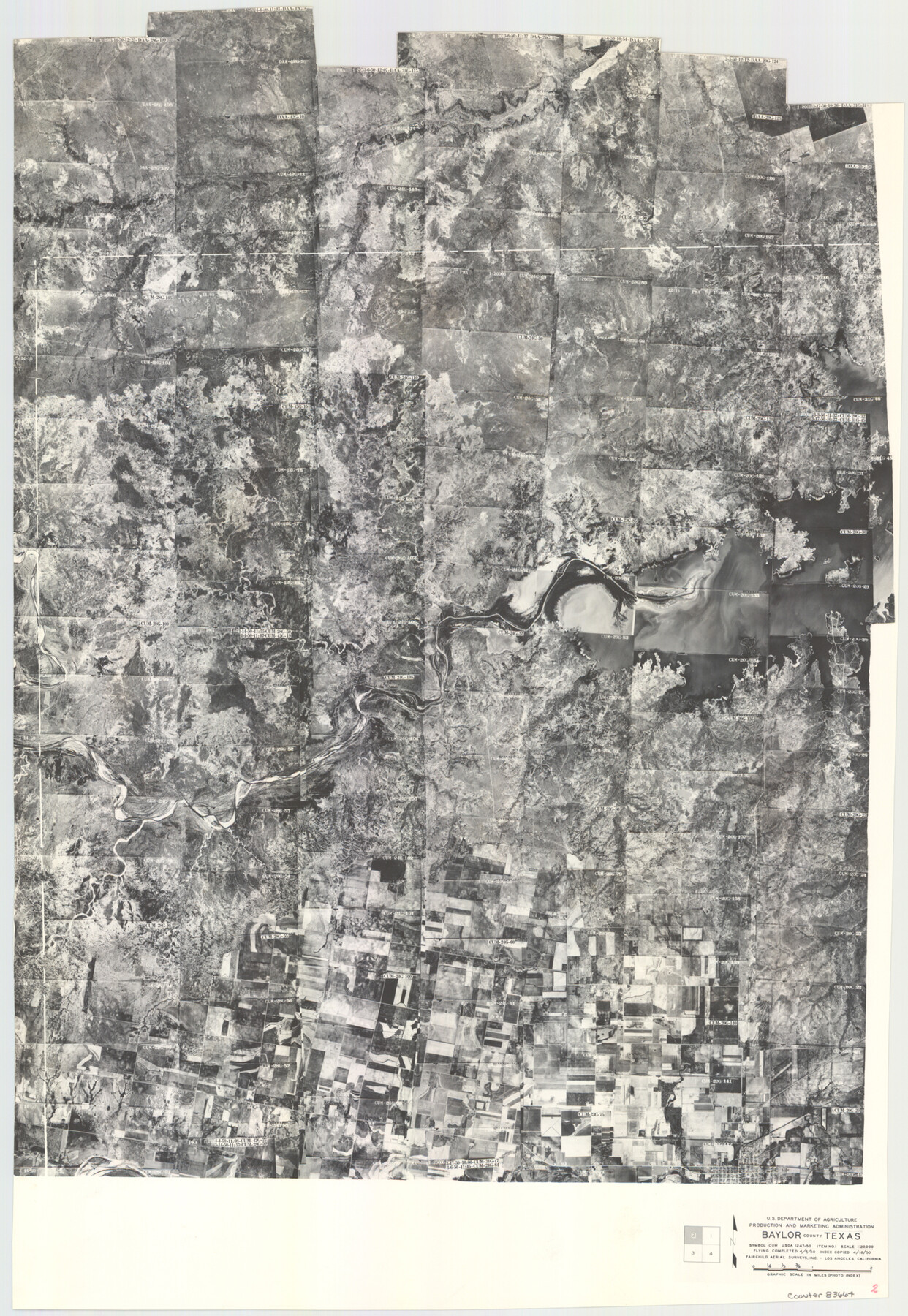
Baylor County Aerial Photograph Index Sheet 2
Baylor County Aerial Photograph Index 2
-
Map/Doc
83664
-
Collection
General Map Collection
-
Object Dates
1950 (Creation Date)
-
People and Organizations
U. S. Department of Agriculture (Publisher)
-
Counties
Baylor
-
Subjects
Aerial Photograph
-
Height x Width
22.2 x 15.4 inches
56.4 x 39.1 cm
-
Comments
Flying completed April 4, 1950 by Fairchild Aerial Surveys, Inc., of Los Angeles, California.
Received in office February 15, 1954.
Part of: General Map Collection
[Sketch for Mineral Application 26546 - Sabine River between Hawkins Creek and east boundary line of BBB&C RR Co. Surveys, R. S. Rathke]
![65665, [Sketch for Mineral Application 26546 - Sabine River between Hawkins Creek and east boundary line of BBB&C RR Co. Surveys, R. S. Rathke], General Map Collection](https://historictexasmaps.com/wmedia_w700/maps/65665.tif.jpg)
Print $40.00
- Digital $50.00
[Sketch for Mineral Application 26546 - Sabine River between Hawkins Creek and east boundary line of BBB&C RR Co. Surveys, R. S. Rathke]
1931
Size 25.5 x 75.1 inches
Map/Doc 65665
Bowie County Working Sketch 23

Print $20.00
- Digital $50.00
Bowie County Working Sketch 23
1969
Size 25.5 x 29.7 inches
Map/Doc 67427
Baylor County Sketch File 26

Print $22.00
- Digital $50.00
Baylor County Sketch File 26
Size 14.6 x 9.0 inches
Map/Doc 14215
Pecos County Rolled Sketch 16

Print $40.00
- Digital $50.00
Pecos County Rolled Sketch 16
1882
Size 42.0 x 65.9 inches
Map/Doc 9682
Zapata County Sketch File 11

Print $6.00
- Digital $50.00
Zapata County Sketch File 11
1918
Size 14.4 x 8.7 inches
Map/Doc 40946
Hopkins County Working Sketch 4

Print $20.00
- Digital $50.00
Hopkins County Working Sketch 4
1959
Size 23.3 x 30.9 inches
Map/Doc 66229
Dallam County Working Sketch 1

Print $20.00
- Digital $50.00
Dallam County Working Sketch 1
1905
Size 15.9 x 13.6 inches
Map/Doc 68586
Hammond's continental map of the United States

Digital $50.00
Hammond's continental map of the United States
1940
Size 33.2 x 50.2 inches
Map/Doc 3118
Uvalde County Rolled Sketch 10

Print $20.00
- Digital $50.00
Uvalde County Rolled Sketch 10
Size 23.5 x 16.1 inches
Map/Doc 8095
St. Louis, Arkansas & Texas R'y, Lufkin Branch, Formerly the Kansas & Gulf Short Line

Print $20.00
- Digital $50.00
St. Louis, Arkansas & Texas R'y, Lufkin Branch, Formerly the Kansas & Gulf Short Line
1888
Size 10.5 x 42.8 inches
Map/Doc 64271
Matagorda Light to Aransas Pass

Print $20.00
- Digital $50.00
Matagorda Light to Aransas Pass
1961
Size 35.9 x 44.7 inches
Map/Doc 73396
Webb County Working Sketch 52

Print $20.00
- Digital $50.00
Webb County Working Sketch 52
1951
Size 30.8 x 37.3 inches
Map/Doc 72418
You may also like
H No. 2 - Preliminary Sketch of Mobile Bay

Print $20.00
- Digital $50.00
H No. 2 - Preliminary Sketch of Mobile Bay
1852
Size 19.4 x 15.2 inches
Map/Doc 97223
Liberty County Sketch File 32a

Print $4.00
- Digital $50.00
Liberty County Sketch File 32a
Size 9.2 x 7.6 inches
Map/Doc 29965
Hockley County

Print $20.00
- Digital $50.00
Hockley County
1900
Size 27.0 x 20.7 inches
Map/Doc 6215
[Galveston, Harrisburg & San Antonio through El Paso County]
![64004, [Galveston, Harrisburg & San Antonio through El Paso County], General Map Collection](https://historictexasmaps.com/wmedia_w700/maps/64004.tif.jpg)
Print $20.00
- Digital $50.00
[Galveston, Harrisburg & San Antonio through El Paso County]
Size 13.6 x 33.6 inches
Map/Doc 64004
Galveston County Rolled Sketch 34A

Print $20.00
- Digital $50.00
Galveston County Rolled Sketch 34A
1978
Size 30.2 x 40.9 inches
Map/Doc 5967
Liberty County Working Sketch 33

Print $20.00
- Digital $50.00
Liberty County Working Sketch 33
1954
Size 30.6 x 36.7 inches
Map/Doc 70492
Montgomery County

Print $20.00
- Digital $50.00
Montgomery County
1895
Size 21.6 x 24.8 inches
Map/Doc 3897
Nueces County Sketch File 61

Print $4.00
- Digital $50.00
Nueces County Sketch File 61
1930
Size 10.5 x 8.6 inches
Map/Doc 32969
El Paso County Sketch File 16

Print $20.00
- Digital $50.00
El Paso County Sketch File 16
1885
Size 31.0 x 36.0 inches
Map/Doc 10446
Ector County Working Sketch 20

Print $40.00
- Digital $50.00
Ector County Working Sketch 20
1958
Size 61.5 x 38.4 inches
Map/Doc 68863
Dawson County

Print $20.00
- Digital $50.00
Dawson County
1959
Size 43.1 x 35.1 inches
Map/Doc 95476
San Saba County Sketch File 17

Print $8.00
- Digital $50.00
San Saba County Sketch File 17
1918
Size 11.4 x 8.8 inches
Map/Doc 36456