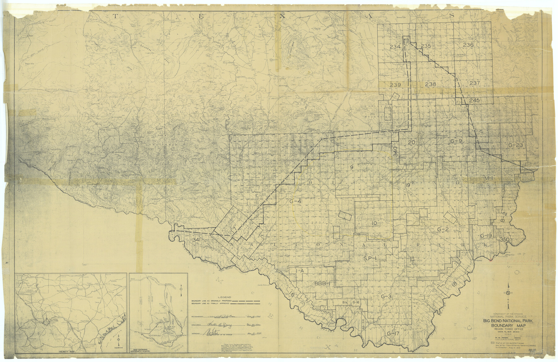
Brewster County Rolled Sketch 6
Big Bend National Park Boundary Map
-
Map/Doc
75944
-
Collection
General Map Collection
-
Counties
Brewster
-
Subjects
Surveying Rolled Sketch
-
Height x Width
43.0 x 66.2 inches
109.2 x 168.1 cm
-
Medium
blueprint/diazo
Part of: General Map Collection
Hardeman County Sketch File 16

Print $20.00
- Digital $50.00
Hardeman County Sketch File 16
Size 21.9 x 26.8 inches
Map/Doc 11628
Pecos County Rolled Sketch 121

Print $20.00
- Digital $50.00
Pecos County Rolled Sketch 121
Size 21.8 x 23.4 inches
Map/Doc 7262
El Paso County Boundary File 22

Print $4.00
- Digital $50.00
El Paso County Boundary File 22
Size 13.6 x 8.6 inches
Map/Doc 53216
Rockwall County Sketch File 6

Print $4.00
- Digital $50.00
Rockwall County Sketch File 6
1862
Size 8.5 x 9.4 inches
Map/Doc 35425
Flight Mission No. CUG-3P, Frame 189, Kleberg County

Print $20.00
- Digital $50.00
Flight Mission No. CUG-3P, Frame 189, Kleberg County
1956
Size 18.6 x 22.2 inches
Map/Doc 86293
Newton County Rolled Sketch 26

Print $397.00
- Digital $50.00
Newton County Rolled Sketch 26
1960
Size 10.9 x 15.4 inches
Map/Doc 47265
Fractional Township No. 8 South Range No. 13 East of the Indian Meridian, Indian Territory

Print $20.00
- Digital $50.00
Fractional Township No. 8 South Range No. 13 East of the Indian Meridian, Indian Territory
1896
Size 19.1 x 24.3 inches
Map/Doc 75224
Cherokee County

Print $40.00
- Digital $50.00
Cherokee County
1933
Size 57.0 x 38.8 inches
Map/Doc 77236
Coleman County Sketch File 23

Print $6.00
- Digital $50.00
Coleman County Sketch File 23
1872
Size 10.1 x 15.7 inches
Map/Doc 18703
DeWitt County Rolled Sketch 3A

Print $20.00
- Digital $50.00
DeWitt County Rolled Sketch 3A
1950
Size 25.3 x 35.2 inches
Map/Doc 5704
Flight Mission No. CRC-6R, Frame 41, Chambers County

Print $20.00
- Digital $50.00
Flight Mission No. CRC-6R, Frame 41, Chambers County
1956
Size 18.4 x 22.3 inches
Map/Doc 84974
Hale County Sketch File C

Print $20.00
- Digital $50.00
Hale County Sketch File C
1901
Size 20.1 x 24.1 inches
Map/Doc 11600
You may also like
Matagorda County Sketch File 42

Print $38.00
- Digital $50.00
Matagorda County Sketch File 42
1912
Size 14.2 x 8.8 inches
Map/Doc 30834
Brewster County Rolled Sketch 11

Print $20.00
- Digital $50.00
Brewster County Rolled Sketch 11
1881
Size 24.9 x 23.1 inches
Map/Doc 5191
Nueces County NRC Article 33.136 Location Key Sheet

Print $20.00
- Digital $50.00
Nueces County NRC Article 33.136 Location Key Sheet
1975
Size 27.0 x 23.0 inches
Map/Doc 77031
Orange County Working Sketch 18

Print $20.00
- Digital $50.00
Orange County Working Sketch 18
1931
Size 28.1 x 36.9 inches
Map/Doc 71350
Brewster County Rolled Sketch 103

Print $40.00
- Digital $50.00
Brewster County Rolled Sketch 103
1955
Size 51.8 x 27.9 inches
Map/Doc 5256
Matagorda County NRC Article 33.136 Sketch 4

Print $28.00
- Digital $50.00
Matagorda County NRC Article 33.136 Sketch 4
2008
Size 31.0 x 36.5 inches
Map/Doc 89036
Travis County Rolled Sketch 15

Print $20.00
- Digital $50.00
Travis County Rolled Sketch 15
1939
Size 25.4 x 37.6 inches
Map/Doc 10011
Travis County Rolled Sketch 33

Print $20.00
- Digital $50.00
Travis County Rolled Sketch 33
Size 22.7 x 32.7 inches
Map/Doc 8034

Erath County Working Sketch 36

Print $20.00
- Digital $50.00
Erath County Working Sketch 36
1973
Size 33.5 x 30.4 inches
Map/Doc 69117
Flight Mission No. DCL-6C, Frame 115, Kenedy County

Print $20.00
- Digital $50.00
Flight Mission No. DCL-6C, Frame 115, Kenedy County
1943
Size 18.5 x 22.4 inches
Map/Doc 85945
Jeff Davis County Boundary File 2

Print $14.00
- Digital $50.00
Jeff Davis County Boundary File 2
Size 14.3 x 8.8 inches
Map/Doc 55505