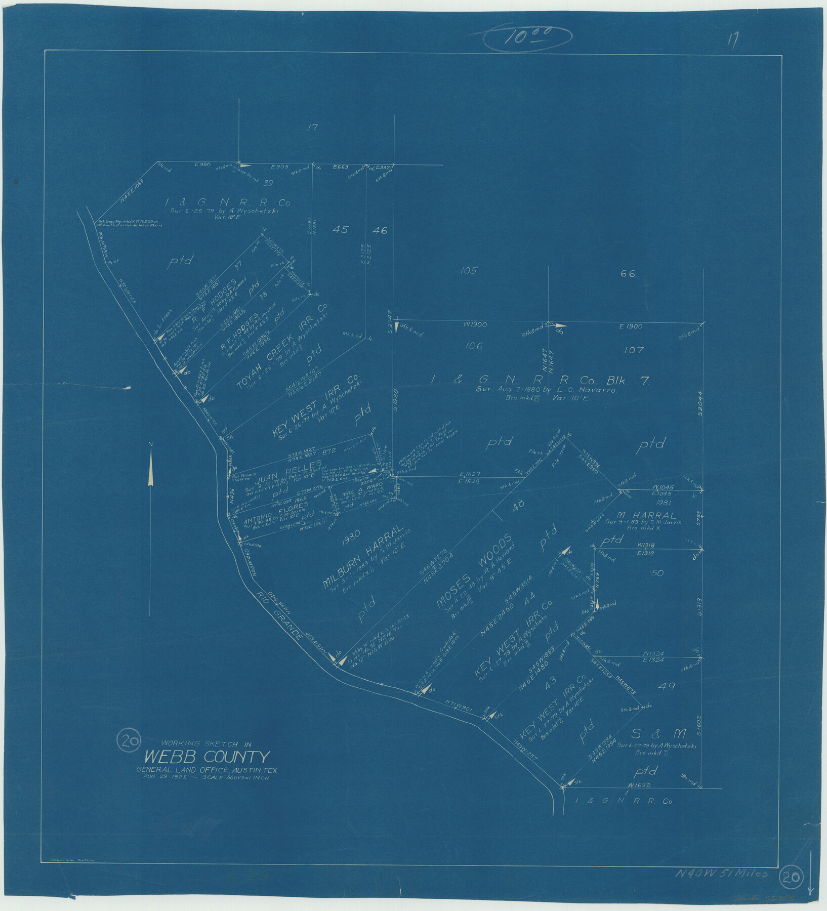
Webb County Working Sketch 20
-
Map/Doc
72385
-
Collection
General Map Collection
-
Object Dates
8/29/1925 (Creation Date)
-
People and Organizations
J. Bascom Giles (Draftsman)
-
Counties
Webb
-
Subjects
Surveying Working Sketch
-
Height x Width
22.3 x 20.2 inches
56.6 x 51.3 cm
-
Scale
1" = 500 varas
Part of: General Map Collection
[Bastrop District]
![83518, [Bastrop District], General Map Collection](https://historictexasmaps.com/wmedia_w700/maps/83518-1.tif.jpg)
Print $20.00
- Digital $50.00
[Bastrop District]
1838
Size 19.5 x 44.2 inches
Map/Doc 83518
Polk County Working Sketch Graphic Index

Print $20.00
- Digital $50.00
Polk County Working Sketch Graphic Index
1943
Size 46.9 x 41.5 inches
Map/Doc 76668
Trinity County Sketch File 42

Print $60.00
- Digital $50.00
Trinity County Sketch File 42
1858
Size 28.0 x 37.6 inches
Map/Doc 10409
Presidio County Rolled Sketch 34

Print $20.00
- Digital $50.00
Presidio County Rolled Sketch 34
1890
Size 46.1 x 32.9 inches
Map/Doc 9773
Smith County Boundary File 80

Print $8.00
- Digital $50.00
Smith County Boundary File 80
Size 9.0 x 6.2 inches
Map/Doc 58797
South Part of El Paso Co.

Print $20.00
- Digital $50.00
South Part of El Paso Co.
1977
Size 30.5 x 40.8 inches
Map/Doc 77274
Hardin County Sketch File 3

Print $4.00
- Digital $50.00
Hardin County Sketch File 3
Size 7.7 x 4.6 inches
Map/Doc 25086
Baylor County Sketch File 24

Print $6.00
- Digital $50.00
Baylor County Sketch File 24
1934
Size 13.9 x 8.8 inches
Map/Doc 14209
Brewster County Rolled Sketch 158

Print $20.00
- Digital $50.00
Brewster County Rolled Sketch 158
2007
Size 24.6 x 36.5 inches
Map/Doc 89623
Map of Ferguson State Farm, Madison County, Texas

Print $20.00
- Digital $50.00
Map of Ferguson State Farm, Madison County, Texas
Size 21.6 x 26.1 inches
Map/Doc 62989
Terrell County Sketch File 16

Print $24.00
- Digital $50.00
Terrell County Sketch File 16
1902
Size 12.1 x 8.8 inches
Map/Doc 37924
Lampasas County Boundary File 16a

Print $28.00
- Digital $50.00
Lampasas County Boundary File 16a
Size 13.9 x 8.4 inches
Map/Doc 56223
You may also like
Atascosa County Sketch File 21

Print $40.00
- Digital $50.00
Atascosa County Sketch File 21
Size 20.0 x 19.8 inches
Map/Doc 10859
Location of the Southern Kansas Railway of Texas

Print $40.00
- Digital $50.00
Location of the Southern Kansas Railway of Texas
1887
Size 18.6 x 106.9 inches
Map/Doc 64181
Kerr County Sketch File 6

Print $20.00
- Digital $50.00
Kerr County Sketch File 6
1879
Size 16.4 x 22.4 inches
Map/Doc 11917
Jack County Sketch File 2

Print $6.00
- Digital $50.00
Jack County Sketch File 2
1856
Size 8.8 x 8.0 inches
Map/Doc 27501
Myrick Farm Lubbock & Hockley Counties

Print $20.00
- Digital $50.00
Myrick Farm Lubbock & Hockley Counties
Size 21.1 x 18.8 inches
Map/Doc 92831

Dallas County Sketch File 19 1/2

Print $4.00
- Digital $50.00
Dallas County Sketch File 19 1/2
Size 9.9 x 8.2 inches
Map/Doc 20439
Goliad County Sketch File 3

Print $4.00
- Digital $50.00
Goliad County Sketch File 3
1852
Size 12.4 x 8.2 inches
Map/Doc 24214
Shelby County, Texas

Print $40.00
- Digital $50.00
Shelby County, Texas
1897
Size 40.0 x 48.3 inches
Map/Doc 63032
Stonewall County Rolled Sketch 36B

Print $20.00
- Digital $50.00
Stonewall County Rolled Sketch 36B
Size 35.2 x 22.8 inches
Map/Doc 76404
[Missouri, Kansas & Texas Line Map through Bastrop County]
![64033, [Missouri, Kansas & Texas Line Map through Bastrop County], General Map Collection](https://historictexasmaps.com/wmedia_w700/maps/64033.tif.jpg)
Print $40.00
- Digital $50.00
[Missouri, Kansas & Texas Line Map through Bastrop County]
1916
Size 25.2 x 68.9 inches
Map/Doc 64033
Archer County Sketch File 8b

Print $42.00
- Digital $50.00
Archer County Sketch File 8b
1890
Map/Doc 88497