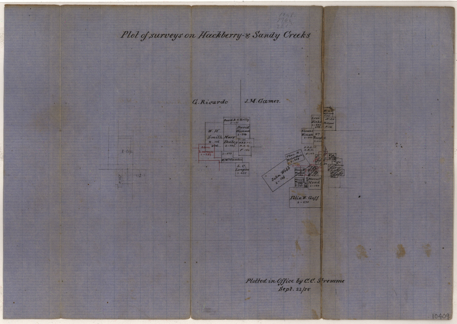
Trinity County Sketch File 42
[Multiple office sketches of surveys along multiple creeks and rivers in Trinity and Polk Counties]
-
Map/Doc
10409
-
Collection
General Map Collection
-
Object Dates
1858 (Creation Date)
12/4/1984 (File Date)
-
People and Organizations
C.C. Stremme (Draftsman)
-
Counties
Trinity Polk
-
Subjects
Surveying Sketch File
-
Height x Width
28.0 x 37.6 inches
71.1 x 95.5 cm
-
Medium
paper, manuscript
-
Features
Sumpter
Mossy Creek
Long King Creek
Brushy Creek
Caney Creek
Moskow
Sevastopol
White Rock Creek
Log Creek
Neches River
East Fork of White Rock Creek
Hackberry Creek
Hairpin Pennie Creek
Little Neches River
Kickapoo Creek
Big Piney Creek
Alabama Creek
North Fork of Alabama Creek
Elm Ceek
Piney Creek
Sandy Creek
Part of: General Map Collection
PSL Field Notes for Blocks 87 through 98 in Culberson County

PSL Field Notes for Blocks 87 through 98 in Culberson County
Map/Doc 81664
South Part of Webb County

Print $40.00
- Digital $50.00
South Part of Webb County
1984
Size 43.5 x 63.9 inches
Map/Doc 73320
Van Zandt County Sketch File 3

Print $8.00
- Digital $50.00
Van Zandt County Sketch File 3
1858
Size 8.3 x 8.0 inches
Map/Doc 39366
Reagan County Boundary File 1

Print $8.00
- Digital $50.00
Reagan County Boundary File 1
Size 8.8 x 8.9 inches
Map/Doc 58151
Texas Exhibit No. 84 - [Texas and Oklahoma Red River Boundary]
![75261, Texas Exhibit No. 84 - [Texas and Oklahoma Red River Boundary], General Map Collection](https://historictexasmaps.com/wmedia_w700/maps/75261.tif.jpg)
Print $40.00
- Digital $50.00
Texas Exhibit No. 84 - [Texas and Oklahoma Red River Boundary]
1921
Size 35.6 x 52.3 inches
Map/Doc 75261
Kimble County Working Sketch 73

Print $20.00
- Digital $50.00
Kimble County Working Sketch 73
1966
Size 21.3 x 18.5 inches
Map/Doc 70141
Hays County Rolled Sketch 24

Print $20.00
- Digital $50.00
Hays County Rolled Sketch 24
1924
Size 18.4 x 20.9 inches
Map/Doc 6180
Menard County Sketch File 3

Print $40.00
- Digital $50.00
Menard County Sketch File 3
Size 16.3 x 12.9 inches
Map/Doc 31488
Galveston County NRC Article 33.136 Location Key Sheet

Print $20.00
- Digital $50.00
Galveston County NRC Article 33.136 Location Key Sheet
1994
Size 27.0 x 21.8 inches
Map/Doc 77019
Archer County

Print $20.00
- Digital $50.00
Archer County
1926
Size 43.7 x 37.9 inches
Map/Doc 95419
Sutton County Working Sketch Graphic Index, Sheet 2 (Sketches 25 to Most Recent)

Print $40.00
- Digital $50.00
Sutton County Working Sketch Graphic Index, Sheet 2 (Sketches 25 to Most Recent)
1941
Size 41.2 x 55.2 inches
Map/Doc 76706
PSL Field Notes for Blocks A42 through A55 in Andrews County

PSL Field Notes for Blocks A42 through A55 in Andrews County
Map/Doc 81644
You may also like
Gillespie County Working Sketch 8

Print $20.00
- Digital $50.00
Gillespie County Working Sketch 8
1993
Size 31.1 x 24.2 inches
Map/Doc 63171
Bandera County Working Sketch 54

Print $20.00
- Digital $50.00
Bandera County Working Sketch 54
1988
Size 30.4 x 30.1 inches
Map/Doc 67650
Shackelford County Boundary File 2

Print $88.00
- Digital $50.00
Shackelford County Boundary File 2
Size 8.7 x 5.3 inches
Map/Doc 58633
S. M. S. Flat Top Ranch

Print $6.00
- Digital $50.00
S. M. S. Flat Top Ranch
1955
Size 23.2 x 32.8 inches
Map/Doc 2102
Pecos County Rolled Sketch 71

Print $20.00
- Digital $50.00
Pecos County Rolled Sketch 71
Size 21.9 x 47.6 inches
Map/Doc 9703
Nolan County Sketch File 11

Print $20.00
- Digital $50.00
Nolan County Sketch File 11
1902
Size 18.5 x 37.5 inches
Map/Doc 42162
Edwards County Boundary File 27d

Print $10.00
- Digital $50.00
Edwards County Boundary File 27d
Size 12.8 x 8.5 inches
Map/Doc 52901
North Part Brewster Co.

Print $40.00
- Digital $50.00
North Part Brewster Co.
1914
Size 40.1 x 48.6 inches
Map/Doc 66731
Upton County Sketch File D

Print $12.00
- Digital $50.00
Upton County Sketch File D
Size 13.6 x 9.0 inches
Map/Doc 38854
Roberts County Rolled Sketch 3

Print $40.00
- Digital $50.00
Roberts County Rolled Sketch 3
Size 38.4 x 50.0 inches
Map/Doc 8358

Jefferson County Sketch File 20

Print $40.00
- Digital $50.00
Jefferson County Sketch File 20
1872
Size 12.3 x 15.0 inches
Map/Doc 28169