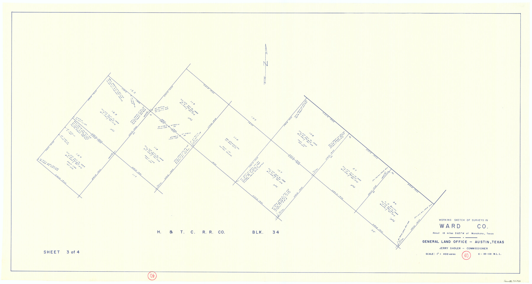
Ward County Working Sketch 40
-
Map/Doc
72346
-
Collection
General Map Collection
-
Object Dates
6/18/1969 (Creation Date)
-
People and Organizations
M. L. Liles (Draftsman)
-
Counties
Ward
-
Subjects
Surveying Working Sketch
-
Height x Width
24.4 x 45.7 inches
62.0 x 116.1 cm
-
Scale
1" = 400 varas
Part of: General Map Collection
Frio County Working Sketch 16

Print $40.00
- Digital $50.00
Frio County Working Sketch 16
1975
Size 52.7 x 39.4 inches
Map/Doc 69290
Flight Mission No. BRE-2P, Frame 98, Nueces County

Print $20.00
- Digital $50.00
Flight Mission No. BRE-2P, Frame 98, Nueces County
1956
Size 18.5 x 22.4 inches
Map/Doc 86783
Red River, Bois D'Arc Creek Floodway Sheet No. 7

Print $20.00
- Digital $50.00
Red River, Bois D'Arc Creek Floodway Sheet No. 7
1917
Size 29.0 x 23.8 inches
Map/Doc 69662
Gaines County Rolled Sketch 11

Print $20.00
- Digital $50.00
Gaines County Rolled Sketch 11
1939
Size 22.4 x 32.9 inches
Map/Doc 5931
Montgomery County Sketch File 7

Print $35.00
- Digital $50.00
Montgomery County Sketch File 7
1861
Size 8.8 x 7.8 inches
Map/Doc 31785
Jefferson County Sketch File 14

Print $60.00
- Digital $50.00
Jefferson County Sketch File 14
Size 15.8 x 13.2 inches
Map/Doc 28149
Flight Mission No. DQO-8K, Frame 87, Galveston County

Print $20.00
- Digital $50.00
Flight Mission No. DQO-8K, Frame 87, Galveston County
1952
Size 18.6 x 22.4 inches
Map/Doc 85189
Ellis County Sketch File 18

Print $40.00
- Digital $50.00
Ellis County Sketch File 18
Size 16.0 x 12.8 inches
Map/Doc 21862
Eastland County Working Sketch 64

Print $40.00
- Digital $50.00
Eastland County Working Sketch 64
1983
Size 43.3 x 68.4 inches
Map/Doc 88891
San Jacinto County Working Sketch 41

Print $20.00
- Digital $50.00
San Jacinto County Working Sketch 41
1979
Size 44.6 x 35.2 inches
Map/Doc 63754
Red River County Working Sketch 31

Print $20.00
- Digital $50.00
Red River County Working Sketch 31
1962
Size 30.9 x 31.3 inches
Map/Doc 72014
Copy of Surveyor's Field Book, Morris Browning - In Blocks 7, 5 & 4, I&GNRRCo., Hutchinson and Carson Counties, Texas

Print $2.00
- Digital $50.00
Copy of Surveyor's Field Book, Morris Browning - In Blocks 7, 5 & 4, I&GNRRCo., Hutchinson and Carson Counties, Texas
1888
Size 7.0 x 8.8 inches
Map/Doc 62279
You may also like
Borden County Boundary File 3

Print $62.00
- Digital $50.00
Borden County Boundary File 3
1908
Size 28.7 x 82.9 inches
Map/Doc 1695
Map of Kerr County

Print $20.00
- Digital $50.00
Map of Kerr County
1878
Size 20.5 x 25.7 inches
Map/Doc 3762
Working Sketch in Lipscomb County [showing East line of County along border with Oklahoma]
![92083, Working Sketch in Lipscomb County [showing East line of County along border with Oklahoma], Twichell Survey Records](https://historictexasmaps.com/wmedia_w700/maps/92083-1.tif.jpg)
Print $20.00
- Digital $50.00
Working Sketch in Lipscomb County [showing East line of County along border with Oklahoma]
1910
Size 4.9 x 25.9 inches
Map/Doc 92083
Rusk County Working Sketch Graphic Index

Print $20.00
- Digital $50.00
Rusk County Working Sketch Graphic Index
1932
Size 45.6 x 34.9 inches
Map/Doc 76688
Location Survey of the Southern Kansas Railway, Kiowa Extension from a point in Drake's Location, in Indian Territory 100 miles from south line of Kansas, continuing up Wolf Creek and South Canadian River to Cottonwood Creek in Hutchinson County

Print $20.00
- Digital $50.00
Location Survey of the Southern Kansas Railway, Kiowa Extension from a point in Drake's Location, in Indian Territory 100 miles from south line of Kansas, continuing up Wolf Creek and South Canadian River to Cottonwood Creek in Hutchinson County
1886
Size 38.9 x 36.0 inches
Map/Doc 88838
Flight Mission No. CRC-2R, Frame 6, Chambers County

Print $20.00
- Digital $50.00
Flight Mission No. CRC-2R, Frame 6, Chambers County
1956
Size 18.8 x 22.5 inches
Map/Doc 84725
Sketch Z [Blocks K6 and K11]
![90610, Sketch Z [Blocks K6 and K11], Twichell Survey Records](https://historictexasmaps.com/wmedia_w700/maps/90610-1.tif.jpg)
Print $20.00
- Digital $50.00
Sketch Z [Blocks K6 and K11]
1903
Size 28.2 x 27.0 inches
Map/Doc 90610
Wichita County Sketch File 16

Print $4.00
- Digital $50.00
Wichita County Sketch File 16
1890
Size 12.9 x 8.9 inches
Map/Doc 40095
Map of the St. Louis, Iron Mountain and Southern Railway, and connections

Print $20.00
- Digital $50.00
Map of the St. Louis, Iron Mountain and Southern Railway, and connections
1880
Size 10.5 x 14.4 inches
Map/Doc 95786
Flight Mission No. DQO-2K, Frame 98, Galveston County

Print $20.00
- Digital $50.00
Flight Mission No. DQO-2K, Frame 98, Galveston County
1952
Size 18.9 x 22.4 inches
Map/Doc 85025
La Salle County Sketch File 19

Print $32.00
- Digital $50.00
La Salle County Sketch File 19
1885
Size 14.2 x 8.7 inches
Map/Doc 29509
1882 Map of the Texas & Pacific R-Y Reserve

Print $20.00
- Digital $50.00
1882 Map of the Texas & Pacific R-Y Reserve
1887
Size 44.1 x 42.1 inches
Map/Doc 83560