Working Sketch in Lipscomb County [showing East line of County along border with Oklahoma]
255-2
-
Map/Doc
92083
-
Collection
Twichell Survey Records
-
Object Dates
1/21/1910 (Creation Date)
-
Counties
Lipscomb
-
Height x Width
4.9 x 25.9 inches
12.5 x 65.8 cm
Part of: Twichell Survey Records
Map of the Mirror's Addition to the town of Amarillo, Potter County, Texas on the line of the Fort Worth and Denver City Ry.


Print $20.00
- Digital $50.00
Map of the Mirror's Addition to the town of Amarillo, Potter County, Texas on the line of the Fort Worth and Denver City Ry.
Size 13.3 x 20.1 inches
Map/Doc 91787
Udell -V- Hughes Sketch
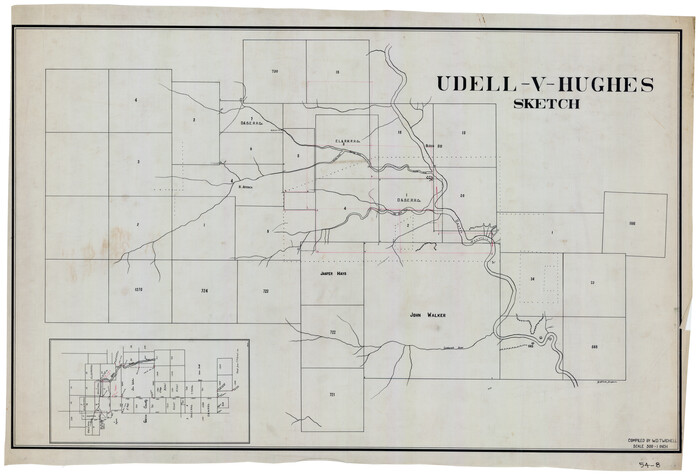

Print $20.00
- Digital $50.00
Udell -V- Hughes Sketch
Size 28.8 x 19.4 inches
Map/Doc 90481
Thomas Kelly Subdivision in Parmer and Castro Counties, Texas


Print $20.00
- Digital $50.00
Thomas Kelly Subdivision in Parmer and Castro Counties, Texas
1906
Size 20.4 x 16.6 inches
Map/Doc 92549
Fair View Heights Addition to City of Lubbock Located on Survey 80, Blk. A
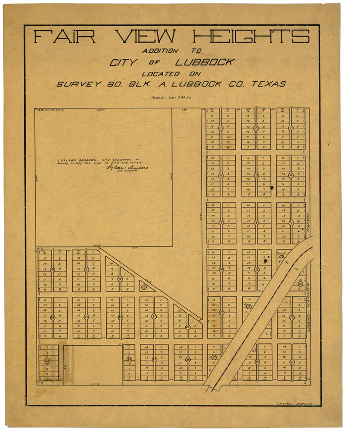

Print $20.00
- Digital $50.00
Fair View Heights Addition to City of Lubbock Located on Survey 80, Blk. A
Size 16.8 x 21.1 inches
Map/Doc 92760
Section 1, Block AX, Gaines County, Texas


Print $3.00
- Digital $50.00
Section 1, Block AX, Gaines County, Texas
1952
Size 11.1 x 13.1 inches
Map/Doc 92670
[Sketch showing T. & N. O. Blocks 3T and 6T, Denison and Pacific RR. Co. Block O-18 and surrounding areas]
![93001, [Sketch showing T. & N. O. Blocks 3T and 6T, Denison and Pacific RR. Co. Block O-18 and surrounding areas], Twichell Survey Records](https://historictexasmaps.com/wmedia_w700/maps/93001-1.tif.jpg)
![93001, [Sketch showing T. & N. O. Blocks 3T and 6T, Denison and Pacific RR. Co. Block O-18 and surrounding areas], Twichell Survey Records](https://historictexasmaps.com/wmedia_w700/maps/93001-1.tif.jpg)
Print $20.00
- Digital $50.00
[Sketch showing T. & N. O. Blocks 3T and 6T, Denison and Pacific RR. Co. Block O-18 and surrounding areas]
Size 21.0 x 28.5 inches
Map/Doc 93001
[Caddo Lake Area]
![91389, [Caddo Lake Area], Twichell Survey Records](https://historictexasmaps.com/wmedia_w700/maps/91389-1.tif.jpg)
![91389, [Caddo Lake Area], Twichell Survey Records](https://historictexasmaps.com/wmedia_w700/maps/91389-1.tif.jpg)
Print $20.00
- Digital $50.00
[Caddo Lake Area]
1918
Size 28.4 x 35.3 inches
Map/Doc 91389
[Blocks S1, O6, O, A1, A2, A3, A4, JK, JK2, JK4, and JD]
![90657, [Blocks S1, O6, O, A1, A2, A3, A4, JK, JK2, JK4, and JD], Twichell Survey Records](https://historictexasmaps.com/wmedia_w700/maps/90657-1.tif.jpg)
![90657, [Blocks S1, O6, O, A1, A2, A3, A4, JK, JK2, JK4, and JD], Twichell Survey Records](https://historictexasmaps.com/wmedia_w700/maps/90657-1.tif.jpg)
Print $20.00
- Digital $50.00
[Blocks S1, O6, O, A1, A2, A3, A4, JK, JK2, JK4, and JD]
Size 21.3 x 22.4 inches
Map/Doc 90657
[Block 1 and surrounding blocks]
![90755, [Block 1 and surrounding blocks], Twichell Survey Records](https://historictexasmaps.com/wmedia_w700/maps/90755-1.tif.jpg)
![90755, [Block 1 and surrounding blocks], Twichell Survey Records](https://historictexasmaps.com/wmedia_w700/maps/90755-1.tif.jpg)
Print $20.00
- Digital $50.00
[Block 1 and surrounding blocks]
1903
Size 18.8 x 19.8 inches
Map/Doc 90755
[Leagues 7, 8, 9, and 10]
![92216, [Leagues 7, 8, 9, and 10], Twichell Survey Records](https://historictexasmaps.com/wmedia_w700/maps/92216-1.tif.jpg)
![92216, [Leagues 7, 8, 9, and 10], Twichell Survey Records](https://historictexasmaps.com/wmedia_w700/maps/92216-1.tif.jpg)
Print $20.00
- Digital $50.00
[Leagues 7, 8, 9, and 10]
Size 38.3 x 26.2 inches
Map/Doc 92216
Map of State University Land, Pecos County, Texas


Print $20.00
- Digital $50.00
Map of State University Land, Pecos County, Texas
1929
Size 42.1 x 33.5 inches
Map/Doc 91626
[Map of Counties south of Panhandle]
![92960, [Map of Counties south of Panhandle], Twichell Survey Records](https://historictexasmaps.com/wmedia_w700/maps/92960-1.tif.jpg)
![92960, [Map of Counties south of Panhandle], Twichell Survey Records](https://historictexasmaps.com/wmedia_w700/maps/92960-1.tif.jpg)
Print $20.00
- Digital $50.00
[Map of Counties south of Panhandle]
Size 22.1 x 15.8 inches
Map/Doc 92960
You may also like
Andrews County Block A-46
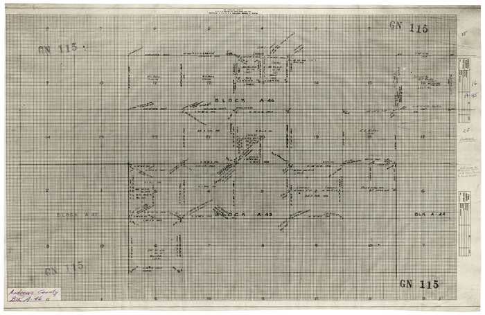

Print $20.00
- Digital $50.00
Andrews County Block A-46
Size 23.4 x 15.3 inches
Map/Doc 92638
Kerr County Working Sketch 24
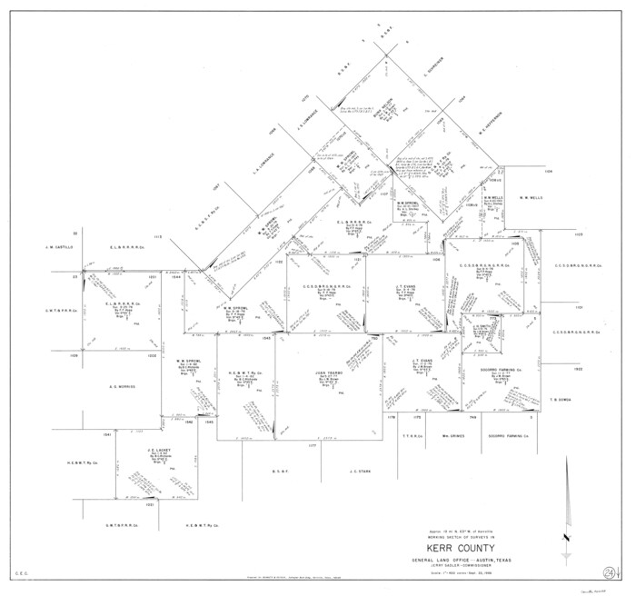

Print $20.00
- Digital $50.00
Kerr County Working Sketch 24
1966
Size 35.9 x 38.3 inches
Map/Doc 70055
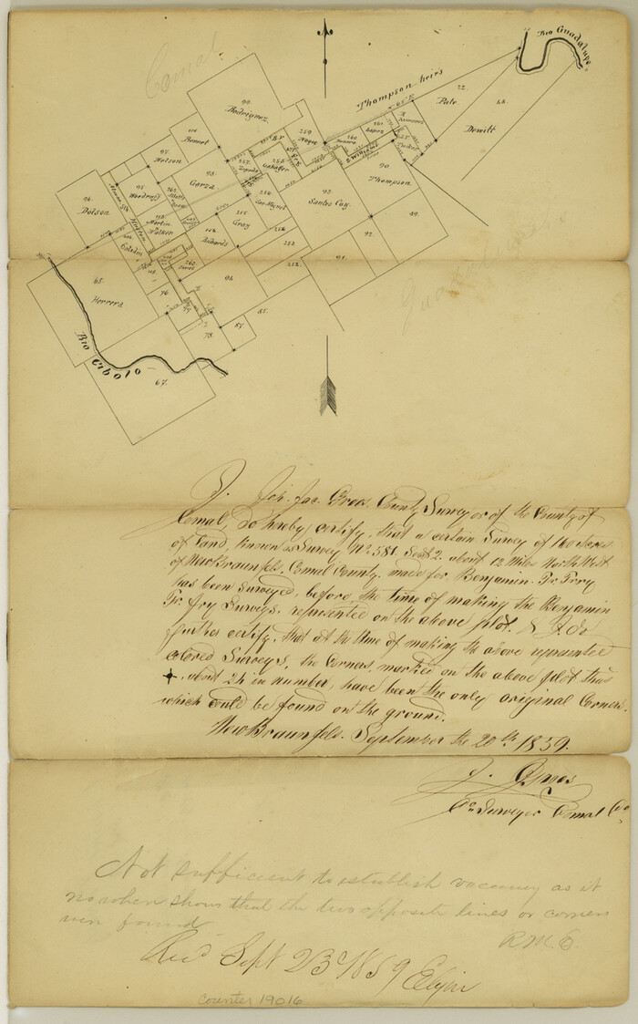
Comal County Sketch File 9

Print $4.00
- Digital $50.00
Comal County Sketch File 9
1859
Size 13.6 x 8.5 inches
Map/Doc 19016
Rusk County Sketch File 31


Print $10.00
Rusk County Sketch File 31
1949
Size 11.3 x 8.9 inches
Map/Doc 35563
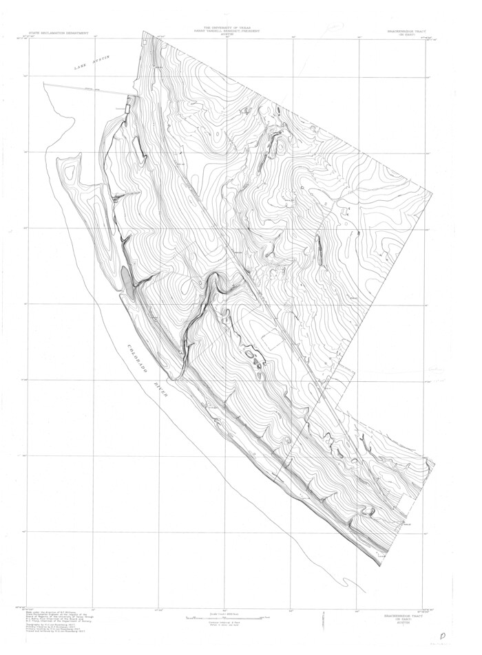
Colorado River, Brackenridge Tract

Print $20.00
- Digital $50.00
Colorado River, Brackenridge Tract
1927
Size 43.6 x 32.1 inches
Map/Doc 65325
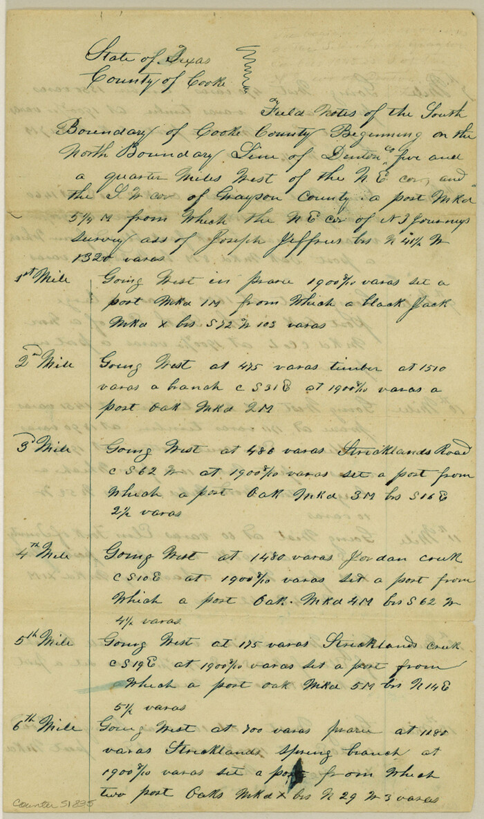
Cooke County Boundary File 1b

Print $28.00
- Digital $50.00
Cooke County Boundary File 1b
Size 12.6 x 7.4 inches
Map/Doc 51835
Cass County Sketch File 2


Print $4.00
- Digital $50.00
Cass County Sketch File 2
1849
Size 12.4 x 7.7 inches
Map/Doc 17394
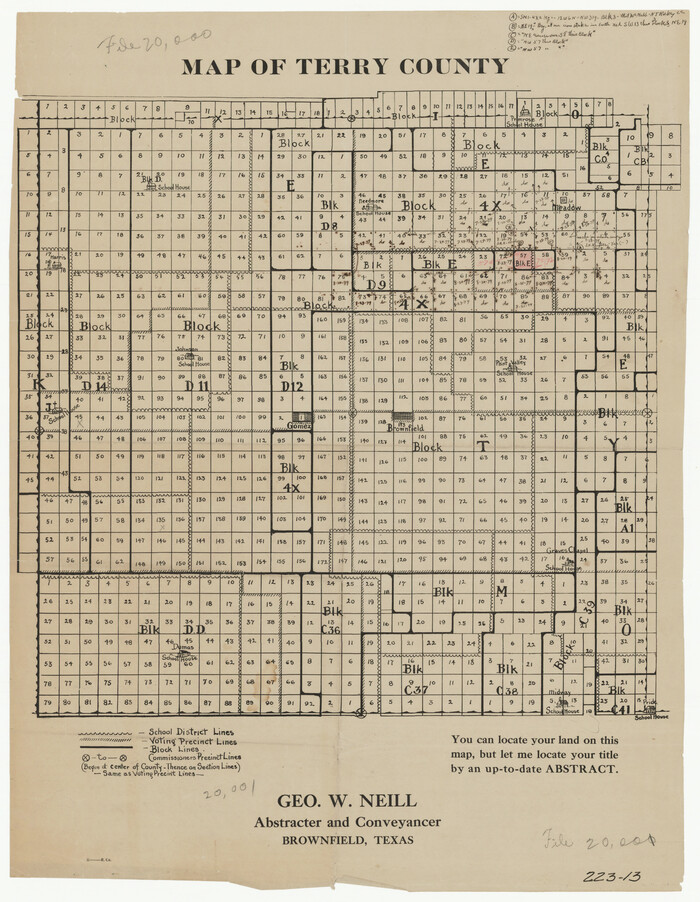
Map of Terry County

Print $20.00
- Digital $50.00
Map of Terry County
1917
Size 17.7 x 22.6 inches
Map/Doc 91874
Midland County Sketch File M
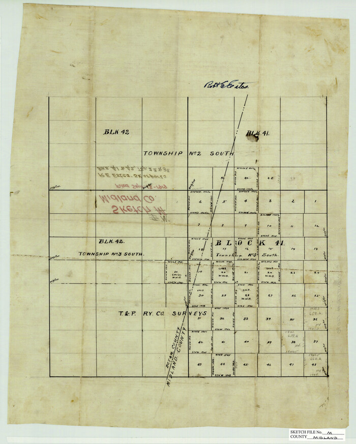

Print $20.00
- Digital $50.00
Midland County Sketch File M
Size 18.5 x 14.9 inches
Map/Doc 12090
McCulloch County Rolled Sketch 10
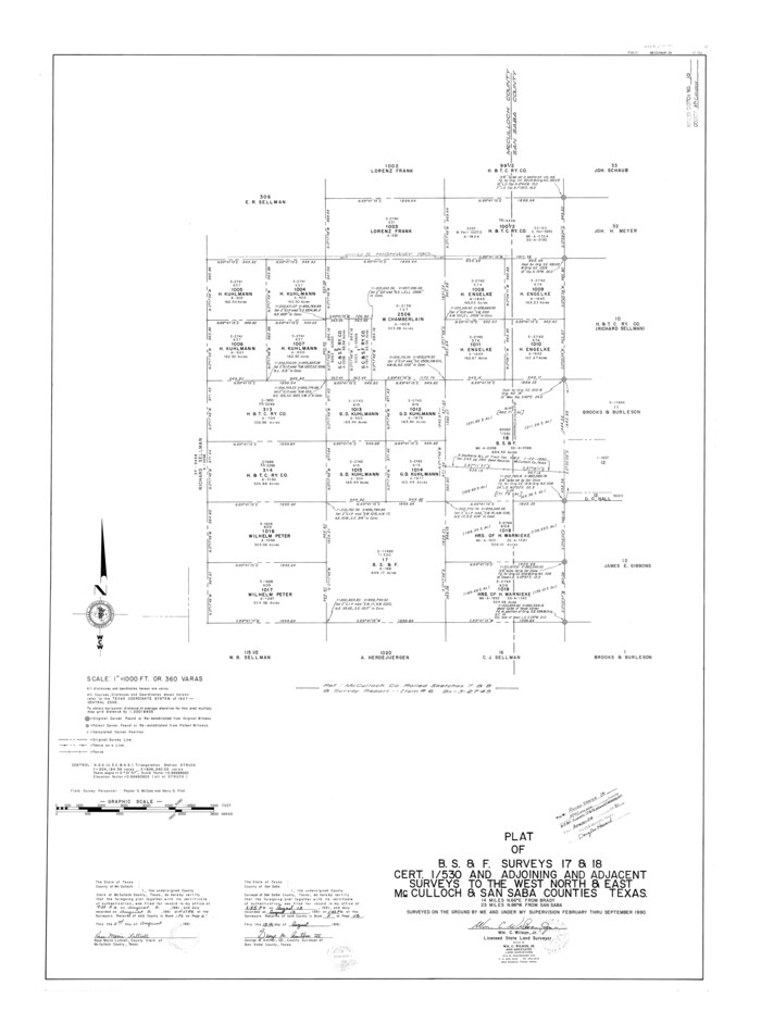

Print $20.00
- Digital $50.00
McCulloch County Rolled Sketch 10
Size 45.9 x 33.7 inches
Map/Doc 6720
Mapa de la Sierra Gorda y Costa de el Seno Mexicano, desde la Ciudad de Querétaro, que se halla situada cerca de los veinte y un grados, hasta los veinte y ocho y medio en que esta la Bahia de el Espiritu Santo, sus Ríos, Ensenadas, y Fronteras
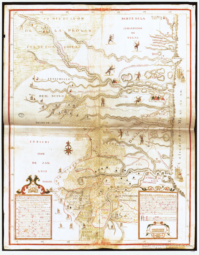

Mapa de la Sierra Gorda y Costa de el Seno Mexicano, desde la Ciudad de Querétaro, que se halla situada cerca de los veinte y un grados, hasta los veinte y ocho y medio en que esta la Bahia de el Espiritu Santo, sus Ríos, Ensenadas, y Fronteras
1747
Size 31.4 x 24.5 inches
Map/Doc 94267
Flight Mission No. CGI-3N, Frame 135, Cameron County


Print $20.00
- Digital $50.00
Flight Mission No. CGI-3N, Frame 135, Cameron County
1954
Size 18.7 x 22.1 inches
Map/Doc 84608
![92083, Working Sketch in Lipscomb County [showing East line of County along border with Oklahoma], Twichell Survey Records](https://historictexasmaps.com/wmedia_w1800h1800/maps/92083-1.tif.jpg)