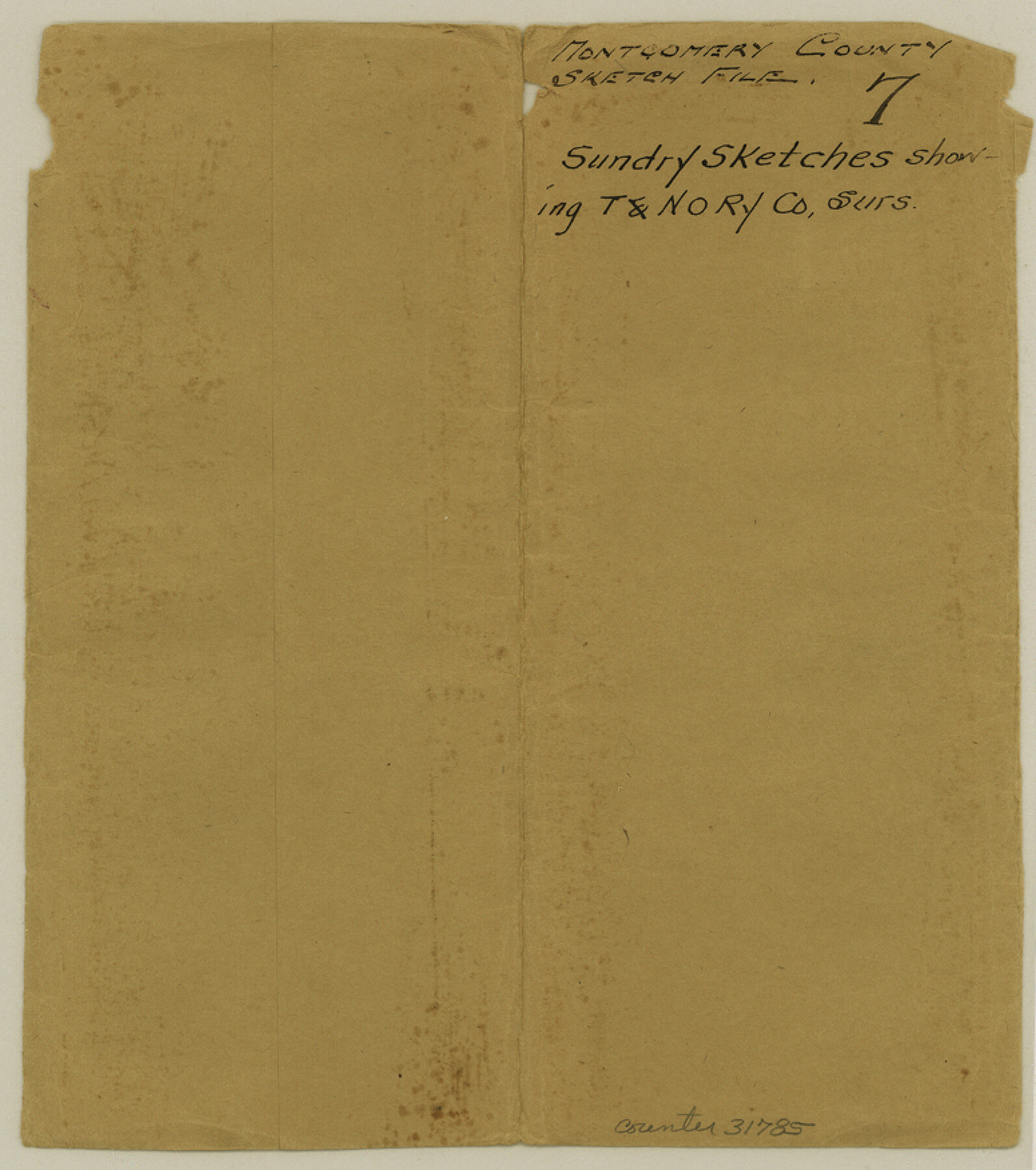
Montgomery County Sketch File 7
[Multiple sketches showing T. & N. O. RR. Co. surveys southeast of Conroe]
-
Map/Doc
31785
-
Collection
General Map Collection
-
Object Dates
4/30/1861 (Creation Date)
5/7/1861 (File Date)
-
People and Organizations
John M. Wade (Surveyor/Engineer)
-
Counties
Montgomery Harris
-
Subjects
Surveying Sketch File
-
Height x Width
8.8 x 7.8 inches
22.4 x 19.8 cm
-
Medium
paper, manuscript
Part of: General Map Collection
Flight Mission No. CON-4R, Frame 200, Stonewall County

Print $20.00
- Digital $50.00
Flight Mission No. CON-4R, Frame 200, Stonewall County
1957
Size 18.2 x 22.0 inches
Map/Doc 86994
Starr County Working Sketch 30

Print $20.00
- Digital $50.00
Starr County Working Sketch 30
2015
Size 24.6 x 36.6 inches
Map/Doc 93750
Liberty County Rolled Sketch I

Print $20.00
- Digital $50.00
Liberty County Rolled Sketch I
1944
Size 38.1 x 38.1 inches
Map/Doc 10642
McLennan County Working Sketch Graphic Index

Print $20.00
- Digital $50.00
McLennan County Working Sketch Graphic Index
1946
Size 41.8 x 44.8 inches
Map/Doc 76637
McMullen County Working Sketch 21

Print $40.00
- Digital $50.00
McMullen County Working Sketch 21
1947
Size 38.3 x 53.4 inches
Map/Doc 70722
Hudspeth County Rolled Sketch 43B

Print $20.00
- Digital $50.00
Hudspeth County Rolled Sketch 43B
1935
Size 11.0 x 17.3 inches
Map/Doc 6253
Sutton County Sketch File 23

Print $30.00
- Digital $50.00
Sutton County Sketch File 23
1918
Size 14.2 x 8.5 inches
Map/Doc 37461
Val Verde County Working Sketch 121

Print $40.00
- Digital $50.00
Val Verde County Working Sketch 121
2005
Size 34.0 x 54.2 inches
Map/Doc 83590
Limestone County Sketch File A

Print $40.00
- Digital $50.00
Limestone County Sketch File A
1833
Size 15.7 x 12.8 inches
Map/Doc 30149
Kerr County Working Sketch 35

Print $20.00
- Digital $50.00
Kerr County Working Sketch 35
1981
Size 35.2 x 15.5 inches
Map/Doc 70066
Jack County Sketch File 18c

Print $60.00
- Digital $50.00
Jack County Sketch File 18c
Size 20.0 x 30.7 inches
Map/Doc 11828
Sutton County Working Sketch 38

Print $20.00
- Digital $50.00
Sutton County Working Sketch 38
1942
Size 35.2 x 26.1 inches
Map/Doc 62381
You may also like
General Highway Map Lamb County, Texas

Print $20.00
- Digital $50.00
General Highway Map Lamb County, Texas
1949
Size 19.0 x 26.0 inches
Map/Doc 92172
Hill County Boundary File 1a

Print $40.00
- Digital $50.00
Hill County Boundary File 1a
Size 18.4 x 23.3 inches
Map/Doc 54732
Kinney County Working Sketch 50

Print $20.00
- Digital $50.00
Kinney County Working Sketch 50
1980
Size 19.4 x 26.9 inches
Map/Doc 70232
Real County Working Sketch 36

Print $20.00
- Digital $50.00
Real County Working Sketch 36
1950
Size 24.7 x 35.9 inches
Map/Doc 71928
Brewster County Working Sketch 93

Print $40.00
- Digital $50.00
Brewster County Working Sketch 93
1975
Size 60.6 x 39.9 inches
Map/Doc 67693
Flight Mission No. BRA-17M, Frame 14, Jefferson County

Print $20.00
- Digital $50.00
Flight Mission No. BRA-17M, Frame 14, Jefferson County
1953
Size 18.5 x 22.3 inches
Map/Doc 85795
The Mercer Colony. January 20, 1843

Print $20.00
The Mercer Colony. January 20, 1843
2020
Size 16.2 x 21.7 inches
Map/Doc 96360
Wise County Sketch File 20

Print $14.00
- Digital $50.00
Wise County Sketch File 20
1860
Size 12.8 x 7.9 inches
Map/Doc 40557
Calhoun County Rolled Sketch 11

Print $20.00
- Digital $50.00
Calhoun County Rolled Sketch 11
1942
Size 12.8 x 41.9 inches
Map/Doc 5368

Flight Mission No. DCL-7C, Frame 73, Kenedy County

Print $20.00
- Digital $50.00
Flight Mission No. DCL-7C, Frame 73, Kenedy County
1943
Size 15.6 x 15.3 inches
Map/Doc 86059
Outline of the Geology of the Globe

Print $20.00
Outline of the Geology of the Globe
1853
Size 19.3 x 23.6 inches
Map/Doc 95282