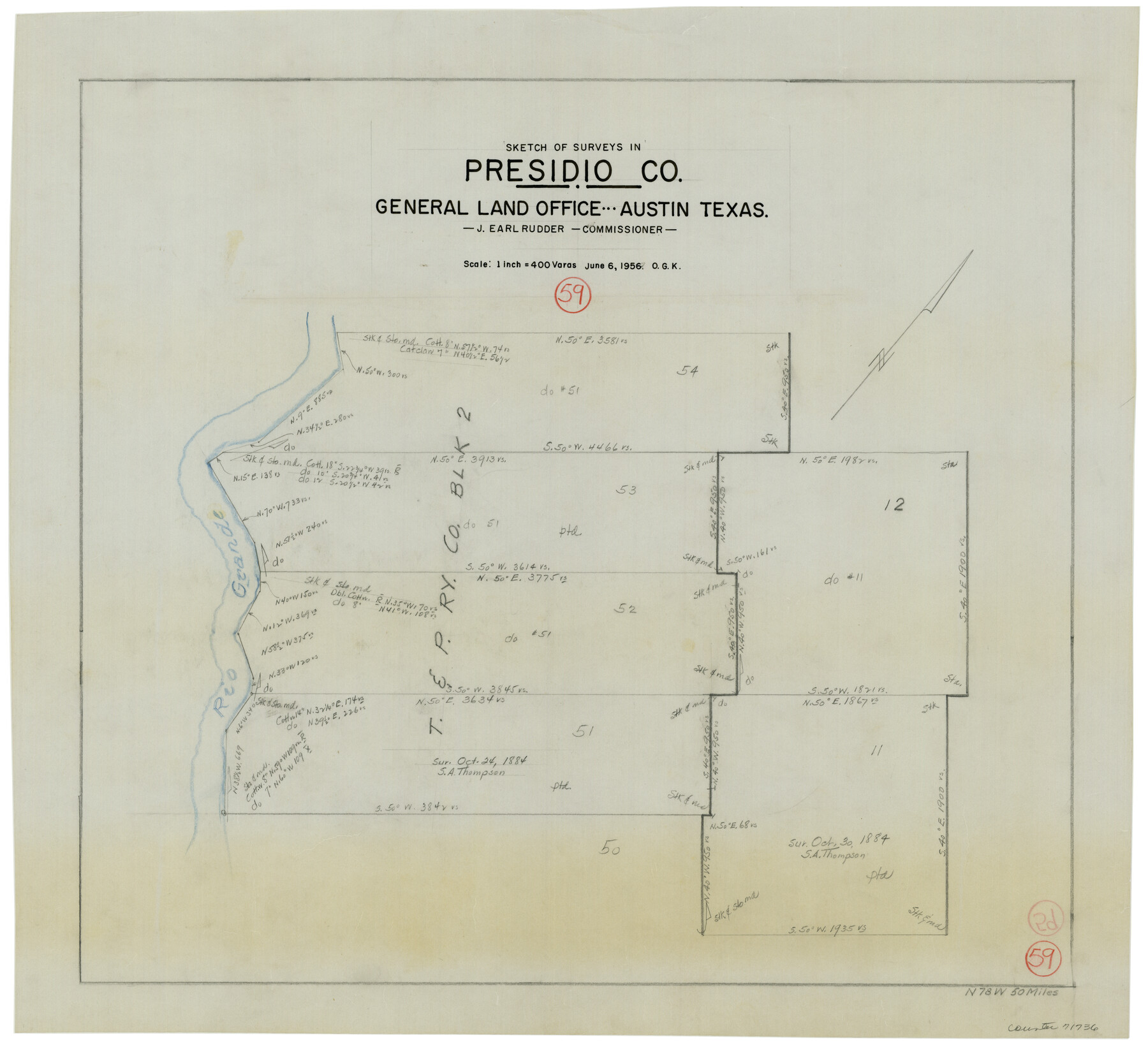
Presidio County Working Sketch 59
-
Map/Doc
71736
-
Collection
General Map Collection
-
Object Dates
6/6/1956 (Creation Date)
-
People and Organizations
Otto G. Kurio (Draftsman)
-
Counties
Presidio
-
Subjects
Surveying Working Sketch
-
Height x Width
20.6 x 22.6 inches
52.3 x 57.4 cm
-
Scale
1" = 400 varas
Part of: General Map Collection
Map of Ramon Musquiz Survey, Meanders of Lavaca & Navidad Rivers, Menefee & Redfish Lakes

Print $20.00
- Digital $50.00
Map of Ramon Musquiz Survey, Meanders of Lavaca & Navidad Rivers, Menefee & Redfish Lakes
1934
Size 24.4 x 18.0 inches
Map/Doc 65453
Flight Mission No. CRC-4R, Frame 67, Chambers County

Print $20.00
- Digital $50.00
Flight Mission No. CRC-4R, Frame 67, Chambers County
1956
Size 18.8 x 22.5 inches
Map/Doc 84871
Flight Mission No. CRK-3P, Frame 66, Refugio County

Print $20.00
- Digital $50.00
Flight Mission No. CRK-3P, Frame 66, Refugio County
1956
Size 18.6 x 22.4 inches
Map/Doc 86908
Irion County Rolled Sketch 11

Print $40.00
- Digital $50.00
Irion County Rolled Sketch 11
1945
Size 38.5 x 52.9 inches
Map/Doc 9252
Harris County Historic Topographic 35

Print $20.00
- Digital $50.00
Harris County Historic Topographic 35
1915
Size 19.6 x 23.6 inches
Map/Doc 65846
Archer County Working Sketch 10a

Print $20.00
- Digital $50.00
Archer County Working Sketch 10a
1924
Size 25.9 x 40.6 inches
Map/Doc 67150
Coryell County Working Sketch 3

Print $20.00
- Digital $50.00
Coryell County Working Sketch 3
1928
Size 23.6 x 22.5 inches
Map/Doc 68210
Webb County Working Sketch 77

Print $20.00
- Digital $50.00
Webb County Working Sketch 77
1976
Size 25.8 x 26.1 inches
Map/Doc 72444
Map of Bexar County

Print $40.00
- Digital $50.00
Map of Bexar County
1845
Size 49.0 x 46.5 inches
Map/Doc 87236
Burnet County Working Sketch 11

Print $20.00
- Digital $50.00
Burnet County Working Sketch 11
1975
Size 26.5 x 28.9 inches
Map/Doc 67854
Calhoun County NRC Article 33.136 Location Key Sheet

Print $20.00
- Digital $50.00
Calhoun County NRC Article 33.136 Location Key Sheet
1973
Size 27.0 x 23.0 inches
Map/Doc 87907
Val Verde County Working Sketch 80

Print $20.00
- Digital $50.00
Val Verde County Working Sketch 80
1973
Size 29.1 x 46.1 inches
Map/Doc 72215
You may also like
[Sketch showing Capitol Lands]
![89725, [Sketch showing Capitol Lands], Twichell Survey Records](https://historictexasmaps.com/wmedia_w700/maps/89725-1.tif.jpg)
Print $40.00
- Digital $50.00
[Sketch showing Capitol Lands]
Size 38.3 x 72.0 inches
Map/Doc 89725
Calhoun County Rolled Sketch 33

Print $73.00
- Digital $50.00
Calhoun County Rolled Sketch 33
1979
Size 10.0 x 15.2 inches
Map/Doc 43687
Tarrant County Boundary File 4 and 4a

Print $14.00
- Digital $50.00
Tarrant County Boundary File 4 and 4a
Size 11.5 x 8.9 inches
Map/Doc 59154
Runnels County Working Sketch 15

Print $20.00
- Digital $50.00
Runnels County Working Sketch 15
1950
Size 22.8 x 18.5 inches
Map/Doc 63611
Van Zandt County Sketch File 15b

Print $4.00
- Digital $50.00
Van Zandt County Sketch File 15b
1858
Size 12.2 x 7.7 inches
Map/Doc 39408
Lipscomb County, Texas

Print $20.00
- Digital $50.00
Lipscomb County, Texas
1880
Size 16.5 x 18.2 inches
Map/Doc 489
Palo Pinto County Working Sketch 27

Print $20.00
- Digital $50.00
Palo Pinto County Working Sketch 27
2006
Map/Doc 83609
General Highway Map, Coryell County, Texas

Print $20.00
General Highway Map, Coryell County, Texas
1940
Size 18.4 x 25.4 inches
Map/Doc 79059
Newton County Sketch File 41

Print $44.00
- Digital $50.00
Newton County Sketch File 41
1930
Size 11.2 x 8.7 inches
Map/Doc 32421
Padre Island National Seashore

Print $4.00
- Digital $50.00
Padre Island National Seashore
Size 16.1 x 22.3 inches
Map/Doc 60540
Runnels County Rolled Sketch 51

Print $20.00
- Digital $50.00
Runnels County Rolled Sketch 51
Size 26.1 x 34.3 inches
Map/Doc 7536
[Texas State Capitol Land]
![89940, [Texas State Capitol Land], Twichell Survey Records](https://historictexasmaps.com/wmedia_w700/maps/89940-1.tif.jpg)
Print $40.00
- Digital $50.00
[Texas State Capitol Land]
Size 37.6 x 72.6 inches
Map/Doc 89940