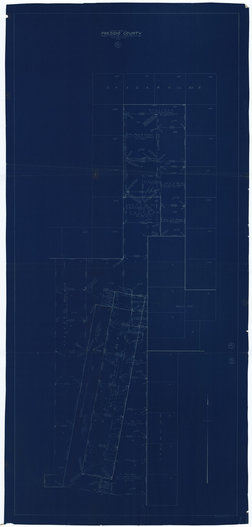
Presidio County Working Sketch 8
-
Map/Doc
71682
-
Collection
General Map Collection
-
Object Dates
6/16/1928 (Creation Date)
-
People and Organizations
J. Bascom Giles (Draftsman)
-
Counties
Presidio
-
Subjects
Surveying Working Sketch
-
Height x Width
64.5 x 30.9 inches
163.8 x 78.5 cm
-
Scale
1" = 500 varas
Part of: General Map Collection
Sutton County Working Sketch Graphic Index, Sheet 1 (Sketches 1 to 24)

Print $40.00
- Digital $50.00
Sutton County Working Sketch Graphic Index, Sheet 1 (Sketches 1 to 24)
1941
Size 41.9 x 55.3 inches
Map/Doc 76705
Montague County Working Sketch 46

Print $20.00
- Digital $50.00
Montague County Working Sketch 46
2014
Size 14.7 x 20.4 inches
Map/Doc 93689
Capitol Complex, Austin, Texas

Print $20.00
- Digital $50.00
Capitol Complex, Austin, Texas
1974
Size 42.7 x 30.6 inches
Map/Doc 94241
Pecos County Rolled Sketch 146

Print $20.00
- Digital $50.00
Pecos County Rolled Sketch 146
Size 40.8 x 32.5 inches
Map/Doc 9734
Orange County Sketch File 37

Print $8.00
- Digital $50.00
Orange County Sketch File 37
1950
Size 14.2 x 8.8 inches
Map/Doc 33374
San Patricio County Rolled Sketch 46G

Print $40.00
- Digital $50.00
San Patricio County Rolled Sketch 46G
1983
Size 31.2 x 50.0 inches
Map/Doc 8378
Flight Mission No. BRA-7M, Frame 31, Jefferson County

Print $20.00
- Digital $50.00
Flight Mission No. BRA-7M, Frame 31, Jefferson County
1953
Size 18.5 x 22.3 inches
Map/Doc 85482
Shelby County Rolled Sketch 18

Print $20.00
- Digital $50.00
Shelby County Rolled Sketch 18
1975
Size 36.2 x 40.7 inches
Map/Doc 9926
Nolan County Boundary File 1a

Print $22.00
- Digital $50.00
Nolan County Boundary File 1a
Size 8.9 x 8.2 inches
Map/Doc 57647
Flight Mission No. BRA-3M, Frame 192, Jefferson County

Print $20.00
- Digital $50.00
Flight Mission No. BRA-3M, Frame 192, Jefferson County
1953
Size 18.5 x 22.4 inches
Map/Doc 85407
Brewster County Sketch File FN-32

Print $8.00
- Digital $50.00
Brewster County Sketch File FN-32
Size 11.1 x 8.7 inches
Map/Doc 15854

You may also like
McMullen County Working Sketch 20

Print $20.00
- Digital $50.00
McMullen County Working Sketch 20
1945
Size 34.1 x 29.6 inches
Map/Doc 70721
Bailey County Sketch File 19

Print $8.00
- Digital $50.00
Bailey County Sketch File 19
1882
Size 13.2 x 8.4 inches
Map/Doc 13987
Runnels County Rolled Sketch 46

Print $20.00
- Digital $50.00
Runnels County Rolled Sketch 46
1954
Size 32.3 x 38.5 inches
Map/Doc 10622
[Map of a portion of Bexar and Travis Districts]
![16943, [Map of a portion of Bexar and Travis Districts], General Map Collection](https://historictexasmaps.com/wmedia_w700/maps/16943.tif.jpg)
Print $20.00
- Digital $50.00
[Map of a portion of Bexar and Travis Districts]
Size 47.5 x 47.2 inches
Map/Doc 16943
Sectional Map No. 3 of the lands and of the line of the Texas & Pacific Ry. Co. in Reeves and parts of Tom Green, Pecos, Presidio & El Paso Cos.

Print $20.00
- Digital $50.00
Sectional Map No. 3 of the lands and of the line of the Texas & Pacific Ry. Co. in Reeves and parts of Tom Green, Pecos, Presidio & El Paso Cos.
1885
Size 24.2 x 18.9 inches
Map/Doc 4858
Upton County Sketch File 19

Print $20.00
- Digital $50.00
Upton County Sketch File 19
1927
Size 21.2 x 21.4 inches
Map/Doc 12515
Flight Mission No. CLL-1N, Frame 160, Willacy County

Print $20.00
- Digital $50.00
Flight Mission No. CLL-1N, Frame 160, Willacy County
1954
Size 18.3 x 22.0 inches
Map/Doc 87051
Plan C, Part 3rd This plan represents that portion of the boundary between the Republic of Texas and the United States included between the 72nd mile mound and Red River

Print $20.00
- Digital $50.00
Plan C, Part 3rd This plan represents that portion of the boundary between the Republic of Texas and the United States included between the 72nd mile mound and Red River
1842
Size 19.3 x 27.2 inches
Map/Doc 65414
Coke County Sketch File 37

Print $6.00
- Digital $50.00
Coke County Sketch File 37
2004
Size 11.0 x 8.5 inches
Map/Doc 82988
Knox County Working Sketch 1

Print $20.00
- Digital $50.00
Knox County Working Sketch 1
1899
Size 32.7 x 25.4 inches
Map/Doc 70243
Flight Mission No. BRA-6M, Frame 81, Jefferson County

Print $20.00
- Digital $50.00
Flight Mission No. BRA-6M, Frame 81, Jefferson County
1953
Size 18.6 x 22.6 inches
Map/Doc 85425
Map of Aransas Co.

Print $20.00
- Digital $50.00
Map of Aransas Co.
1896
Size 38.8 x 36.8 inches
Map/Doc 4874