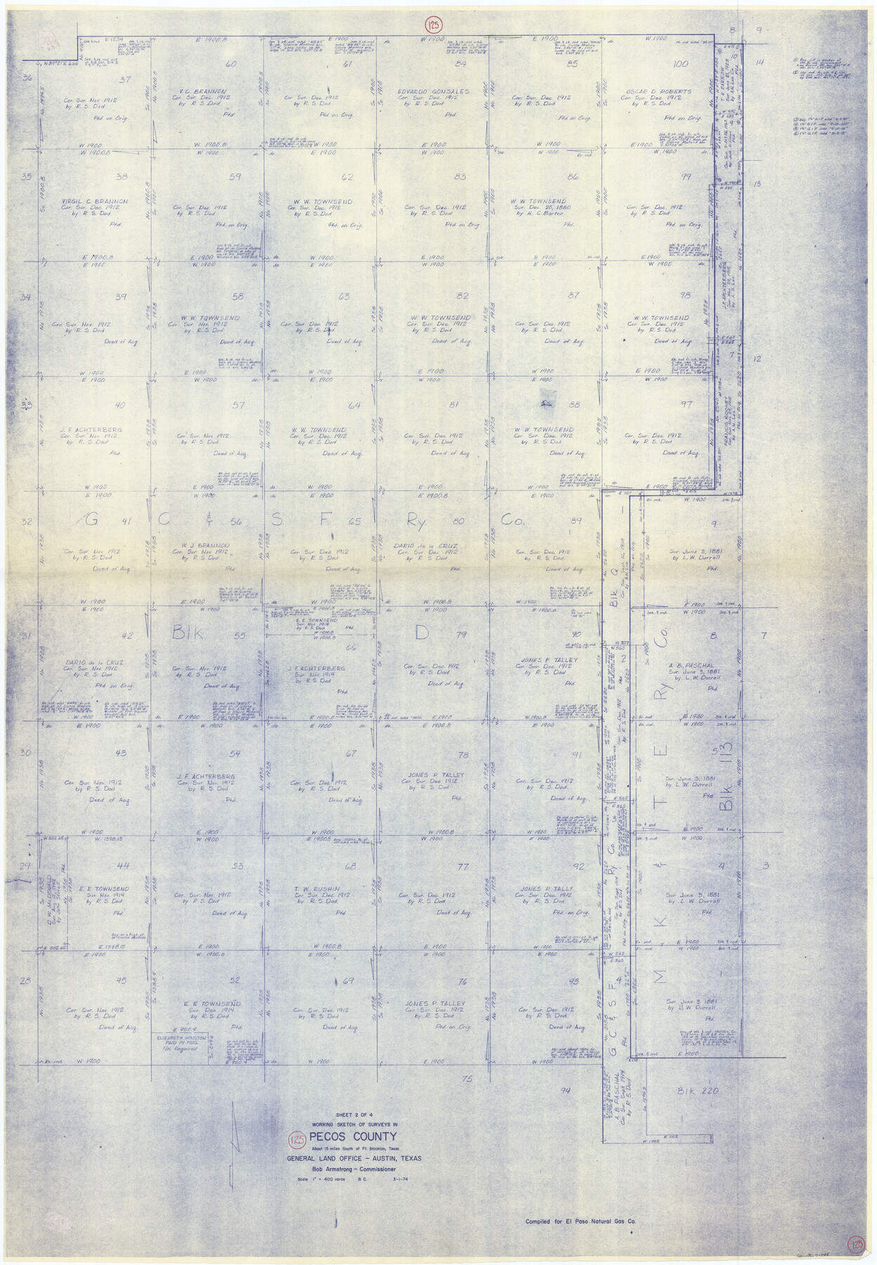
Pecos County Working Sketch 125
-
Map/Doc
71598
-
Collection
General Map Collection
-
Object Dates
3/1/1974 (Creation Date)
-
People and Organizations
Beverly Christian (Draftsman)
-
Counties
Pecos
-
Subjects
Surveying Working Sketch
-
Height x Width
53.4 x 37.0 inches
135.6 x 94.0 cm
-
Scale
1" = 400 varas
Part of: General Map Collection
Freestone County Working Sketch 30

Print $20.00
- Digital $50.00
Freestone County Working Sketch 30
Size 29.5 x 37.2 inches
Map/Doc 69272
Swisher County Rolled Sketch 5

Print $20.00
- Digital $50.00
Swisher County Rolled Sketch 5
1904
Size 18.1 x 19.4 inches
Map/Doc 7906
Colorado River, Shoal Creek from 12th to 34th Street/Austin, Texas

Print $40.00
- Digital $50.00
Colorado River, Shoal Creek from 12th to 34th Street/Austin, Texas
1929
Size 61.5 x 28.6 inches
Map/Doc 65327
Map of the Passo Cavallo on the entrance into Matagorda Bay from the Gulf of Mexico

Print $20.00
- Digital $50.00
Map of the Passo Cavallo on the entrance into Matagorda Bay from the Gulf of Mexico
1853
Size 17.8 x 27.3 inches
Map/Doc 73012
Flight Mission No. DIX-3P, Frame 167, Aransas County

Print $20.00
- Digital $50.00
Flight Mission No. DIX-3P, Frame 167, Aransas County
1956
Size 17.8 x 18.0 inches
Map/Doc 83773
Parker County Boundary File 3

Print $4.00
- Digital $50.00
Parker County Boundary File 3
Size 11.2 x 8.8 inches
Map/Doc 57838
Leon County Working Sketch 33

Print $20.00
- Digital $50.00
Leon County Working Sketch 33
1978
Size 43.4 x 41.6 inches
Map/Doc 70432
Harrison County Working Sketch 4

Print $20.00
- Digital $50.00
Harrison County Working Sketch 4
1945
Size 17.8 x 15.4 inches
Map/Doc 66024
Flight Mission No. CRK-8P, Frame 114, Refugio County

Print $20.00
- Digital $50.00
Flight Mission No. CRK-8P, Frame 114, Refugio County
1956
Size 18.3 x 22.1 inches
Map/Doc 86969
Leon County Working Sketch 11

Print $20.00
- Digital $50.00
Leon County Working Sketch 11
1952
Size 21.1 x 35.0 inches
Map/Doc 70410
Culberson County Rolled Sketch 52

Print $20.00
- Digital $50.00
Culberson County Rolled Sketch 52
Size 19.2 x 25.1 inches
Map/Doc 5674
Menard County Boundary File 2

Print $38.00
- Digital $50.00
Menard County Boundary File 2
Size 8.9 x 9.1 inches
Map/Doc 57046
You may also like
Sheet 5 copied from Champlin Book 5 [Strip Map showing T. & P. connecting lines]
![93180, Sheet 5 copied from Champlin Book 5 [Strip Map showing T. & P. connecting lines], Twichell Survey Records](https://historictexasmaps.com/wmedia_w700/maps/93180-1.tif.jpg)
Print $40.00
- Digital $50.00
Sheet 5 copied from Champlin Book 5 [Strip Map showing T. & P. connecting lines]
1909
Size 7.9 x 75.6 inches
Map/Doc 93180
Crockett County Rolled Sketch 29

Print $20.00
- Digital $50.00
Crockett County Rolled Sketch 29
1927
Size 21.9 x 36.6 inches
Map/Doc 5588
Flight Mission No. DQN-2K, Frame 156, Calhoun County

Print $20.00
- Digital $50.00
Flight Mission No. DQN-2K, Frame 156, Calhoun County
1953
Size 18.5 x 22.3 inches
Map/Doc 84318
Flight Mission No. DQO-7K, Frame 108, Galveston County

Print $20.00
- Digital $50.00
Flight Mission No. DQO-7K, Frame 108, Galveston County
1952
Size 18.7 x 22.5 inches
Map/Doc 85123
Jeff Davis County Sketch File 19

Print $10.00
- Digital $50.00
Jeff Davis County Sketch File 19
1908
Size 14.4 x 8.8 inches
Map/Doc 27973
[Leagues 258, 259, 278, 287, 288, and Vicinity]
![91459, [Leagues 258, 259, 278, 287, 288, and Vicinity], Twichell Survey Records](https://historictexasmaps.com/wmedia_w700/maps/91459-1.tif.jpg)
Print $20.00
- Digital $50.00
[Leagues 258, 259, 278, 287, 288, and Vicinity]
Size 20.0 x 34.9 inches
Map/Doc 91459
Leon County Working Sketch 22

Print $20.00
- Digital $50.00
Leon County Working Sketch 22
1965
Size 27.9 x 31.1 inches
Map/Doc 70421
Record of Translations of Empresario Contracts (RTEC)

Record of Translations of Empresario Contracts (RTEC)
Size 17.0 x 13.6 inches
Map/Doc 94266
Rhyne Simpson Quirt Ave. Addition to the City of Lubbock

Print $20.00
- Digital $50.00
Rhyne Simpson Quirt Ave. Addition to the City of Lubbock
1951
Size 17.2 x 21.2 inches
Map/Doc 92878
Water-Shed of the Colorado River

Print $40.00
- Digital $50.00
Water-Shed of the Colorado River
1925
Size 37.1 x 79.8 inches
Map/Doc 65261
Flight Mission No. BRA-3M, Frame 190, Jefferson County

Print $20.00
- Digital $50.00
Flight Mission No. BRA-3M, Frame 190, Jefferson County
1953
Size 18.6 x 22.3 inches
Map/Doc 85405
The Mexican Municipality of Harrisburg. Defined, January 4, 1836

Print $20.00
The Mexican Municipality of Harrisburg. Defined, January 4, 1836
2020
Size 18.4 x 21.7 inches
Map/Doc 96022