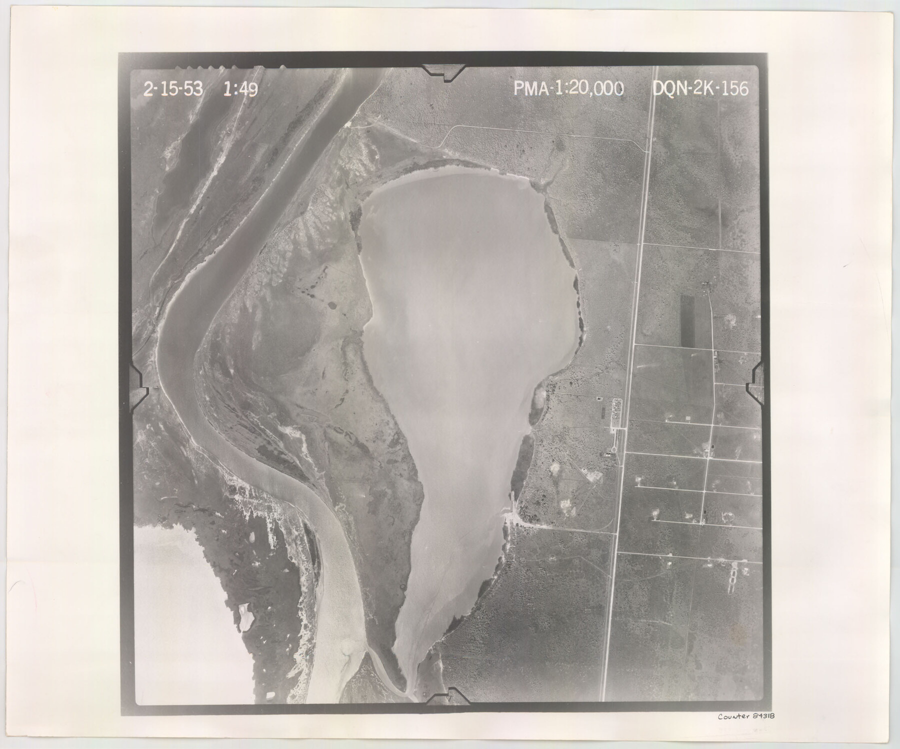
Flight Mission No. DQN-2K, Frame 156, Calhoun County
DQN-2K-156
-
Map/Doc
84318
-
Collection
General Map Collection
-
Object Dates
1953/2/15 (Creation Date)
-
People and Organizations
U. S. Department of Agriculture (Publisher)
-
Counties
Calhoun
-
Subjects
Aerial Photograph
-
Height x Width
18.5 x 22.3 inches
47.0 x 56.6 cm
-
Comments
Flown by Aero Exploration Company of Tulsa, Oklahoma.
Part of: General Map Collection
Hall County Sketch File 6

Print $20.00
- Digital $50.00
Hall County Sketch File 6
1885
Size 28.2 x 37.9 inches
Map/Doc 10473
Jeff Davis County Sketch File 25

Print $32.00
- Digital $50.00
Jeff Davis County Sketch File 25
1886
Size 11.3 x 8.5 inches
Map/Doc 27992
Jack County Working Sketch 12

Print $20.00
- Digital $50.00
Jack County Working Sketch 12
1959
Size 18.0 x 22.4 inches
Map/Doc 66438
Flight Mission No. DAG-24K, Frame 158, Matagorda County

Print $20.00
- Digital $50.00
Flight Mission No. DAG-24K, Frame 158, Matagorda County
1953
Size 18.6 x 22.5 inches
Map/Doc 86572
Brazoria County Sketch File 42

Print $12.00
- Digital $50.00
Brazoria County Sketch File 42
1949
Size 14.7 x 9.0 inches
Map/Doc 15053
Leon County Working Sketch 58

Print $20.00
- Digital $50.00
Leon County Working Sketch 58
1986
Size 27.7 x 43.3 inches
Map/Doc 70458
Mills County Working Sketch 28

Print $40.00
- Digital $50.00
Mills County Working Sketch 28
2006
Size 42.0 x 67.4 inches
Map/Doc 85385

Flight Mission No. DCL-7C, Frame 5, Kenedy County

Print $20.00
- Digital $50.00
Flight Mission No. DCL-7C, Frame 5, Kenedy County
1943
Size 18.5 x 22.3 inches
Map/Doc 85997
Webb County Working Sketch 53

Print $20.00
- Digital $50.00
Webb County Working Sketch 53
1952
Size 27.5 x 29.0 inches
Map/Doc 72419
Crockett County Rolled Sketch 16

Print $20.00
- Digital $50.00
Crockett County Rolled Sketch 16
1880
Size 36.2 x 26.2 inches
Map/Doc 5581
Medina County Sketch File 16

Print $8.00
- Digital $50.00
Medina County Sketch File 16
1948
Size 11.4 x 8.8 inches
Map/Doc 31476
You may also like
McMullen County Sketch File 22

Print $4.00
- Digital $50.00
McMullen County Sketch File 22
Size 10.0 x 8.1 inches
Map/Doc 31377
Waller County Boundary File 1

Print $8.00
- Digital $50.00
Waller County Boundary File 1
Size 11.4 x 8.9 inches
Map/Doc 59663
Texas Official Travel Map

Digital $50.00
Texas Official Travel Map
Size 33.4 x 36.4 inches
Map/Doc 94424
Flight Mission No. DAG-23K, Frame 61, Matagorda County

Print $20.00
- Digital $50.00
Flight Mission No. DAG-23K, Frame 61, Matagorda County
1953
Size 16.0 x 15.7 inches
Map/Doc 86488
Lampasas County Working Sketch 7

Print $20.00
- Digital $50.00
Lampasas County Working Sketch 7
1951
Size 30.7 x 36.3 inches
Map/Doc 70284
Brewster County Sketch File 40

Print $6.00
- Digital $50.00
Brewster County Sketch File 40
1910
Size 15.2 x 10.3 inches
Map/Doc 16302
Harris County Boundary File 39 (22)

Print $40.00
- Digital $50.00
Harris County Boundary File 39 (22)
Size 12.6 x 16.1 inches
Map/Doc 54368
Jasper County Sketch File 8 and 9

Print $80.00
- Digital $50.00
Jasper County Sketch File 8 and 9
Size 8.2 x 6.9 inches
Map/Doc 27777
[San Antonio & Aransas Pass]
![64210, [San Antonio & Aransas Pass], General Map Collection](https://historictexasmaps.com/wmedia_w700/maps/64210.tif.jpg)
Print $20.00
- Digital $50.00
[San Antonio & Aransas Pass]
Size 35.4 x 14.8 inches
Map/Doc 64210
Val Verde County Sketch File N

Print $14.00
- Digital $50.00
Val Verde County Sketch File N
1920
Size 10.9 x 8.8 inches
Map/Doc 39284
Lubbock County Boundary File 8

Print $46.00
- Digital $50.00
Lubbock County Boundary File 8
Size 7.3 x 8.7 inches
Map/Doc 56525
Throckmorton County Rolled Sketch 1

Print $20.00
- Digital $50.00
Throckmorton County Rolled Sketch 1
1927
Size 23.5 x 30.3 inches
Map/Doc 7984