[Leagues 258, 259, 278, 287, 288, and Vicinity]
180-76
-
Map/Doc
91459
-
Collection
Twichell Survey Records
-
Counties
Oldham
-
Height x Width
20.0 x 34.9 inches
50.8 x 88.7 cm
Part of: Twichell Survey Records
Jones Subdivision of Sections 28 and 32, Block "A' and Section 2, Block "D3"


Print $2.00
- Digital $50.00
Jones Subdivision of Sections 28 and 32, Block "A' and Section 2, Block "D3"
1928
Size 8.7 x 8.7 inches
Map/Doc 92708
[Area around Runnels County School Land and I. & G. N. Block 1]
![91664, [Area around Runnels County School Land and I. & G. N. Block 1], Twichell Survey Records](https://historictexasmaps.com/wmedia_w700/maps/91664-1.tif.jpg)
![91664, [Area around Runnels County School Land and I. & G. N. Block 1], Twichell Survey Records](https://historictexasmaps.com/wmedia_w700/maps/91664-1.tif.jpg)
Print $20.00
- Digital $50.00
[Area around Runnels County School Land and I. & G. N. Block 1]
Size 23.0 x 17.9 inches
Map/Doc 91664
[T. A. Thomson Block T, R. M. Thomson Block 1]
![90968, [T. A. Thomson Block T, R. M. Thomson Block 1], Twichell Survey Records](https://historictexasmaps.com/wmedia_w700/maps/90968-1.tif.jpg)
![90968, [T. A. Thomson Block T, R. M. Thomson Block 1], Twichell Survey Records](https://historictexasmaps.com/wmedia_w700/maps/90968-1.tif.jpg)
Print $20.00
- Digital $50.00
[T. A. Thomson Block T, R. M. Thomson Block 1]
Size 12.3 x 17.5 inches
Map/Doc 90968
Plat of Green Valley Ranch


Print $20.00
- Digital $50.00
Plat of Green Valley Ranch
Size 14.4 x 23.2 inches
Map/Doc 92909
Map of Re-Survey of Blk. 34 & 35 T5N


Print $40.00
- Digital $50.00
Map of Re-Survey of Blk. 34 & 35 T5N
1915
Size 53.5 x 39.2 inches
Map/Doc 89765
[Sketch showing vicinity of Wm. McCutcheon League near the Bastrop-Caldwell County Line]
![90144, [Sketch showing vicinity of Wm. McCutcheon League near the Bastrop-Caldwell County Line], Twichell Survey Records](https://historictexasmaps.com/wmedia_w700/maps/90144-1.tif.jpg)
![90144, [Sketch showing vicinity of Wm. McCutcheon League near the Bastrop-Caldwell County Line], Twichell Survey Records](https://historictexasmaps.com/wmedia_w700/maps/90144-1.tif.jpg)
Print $2.00
- Digital $50.00
[Sketch showing vicinity of Wm. McCutcheon League near the Bastrop-Caldwell County Line]
1923
Size 7.7 x 12.9 inches
Map/Doc 90144
Subdivision Map of Fisher County School Land situated in Bailey and Cochran Counties, Texas


Print $20.00
- Digital $50.00
Subdivision Map of Fisher County School Land situated in Bailey and Cochran Counties, Texas
1924
Size 17.3 x 21.3 inches
Map/Doc 90111
Working Sketch in Mitchell, Sterling, and Coke Co's.
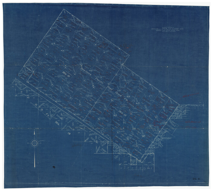

Print $20.00
- Digital $50.00
Working Sketch in Mitchell, Sterling, and Coke Co's.
1925
Size 34.2 x 30.7 inches
Map/Doc 91840
[Worksheets related to the Wilson Strickland survey and vicinity]
![89715, [Vicinity and related to the Wilson Strickland Survey], Twichell Survey Records](https://historictexasmaps.com/wmedia_w700/maps/89715-1.tif.jpg)
![89715, [Vicinity and related to the Wilson Strickland Survey], Twichell Survey Records](https://historictexasmaps.com/wmedia_w700/maps/89715-1.tif.jpg)
Print $20.00
- Digital $50.00
[Worksheets related to the Wilson Strickland survey and vicinity]
Size 34.7 x 43.0 inches
Map/Doc 89715
[Sketch of Hicks Strip No. 2 between M. H. Hagaman and Z. C. Collier Surveys]
![91893, [Sketch of Hicks Strip No. 2 between M. H. Hagaman and Z. C. Collier Surveys], Twichell Survey Records](https://historictexasmaps.com/wmedia_w700/maps/91893-1.tif.jpg)
![91893, [Sketch of Hicks Strip No. 2 between M. H. Hagaman and Z. C. Collier Surveys], Twichell Survey Records](https://historictexasmaps.com/wmedia_w700/maps/91893-1.tif.jpg)
Print $20.00
- Digital $50.00
[Sketch of Hicks Strip No. 2 between M. H. Hagaman and Z. C. Collier Surveys]
Size 15.1 x 14.9 inches
Map/Doc 91893
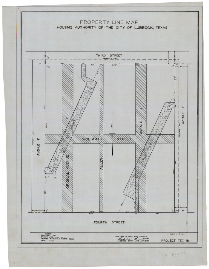
Property Line Map, Housing Authority of the City of Lubbock, Texas

Print $20.00
- Digital $50.00
Property Line Map, Housing Authority of the City of Lubbock, Texas
1946
Size 19.4 x 25.4 inches
Map/Doc 92777
You may also like
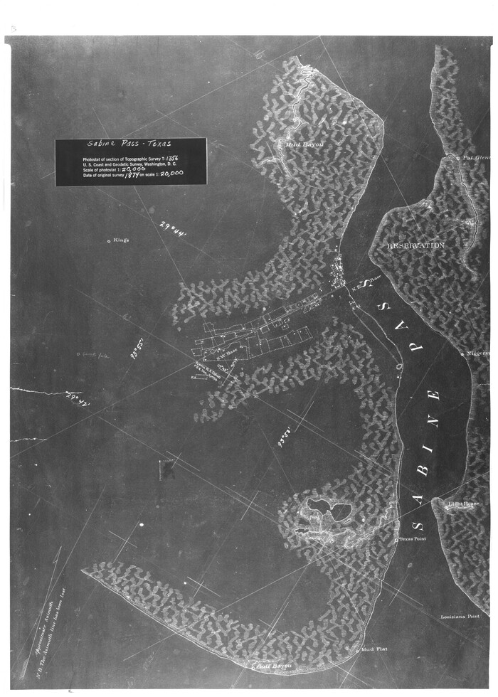
Jefferson County Rolled Sketch 57

Print $20.00
- Digital $50.00
Jefferson County Rolled Sketch 57
1874
Size 25.9 x 18.6 inches
Map/Doc 6408
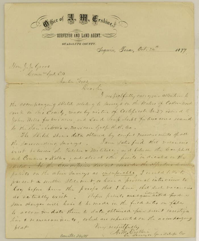
Guadalupe County Sketch File 17

Print $4.00
- Digital $50.00
Guadalupe County Sketch File 17
1877
Size 10.2 x 8.5 inches
Map/Doc 24695
Montague County Working Sketch 29


Print $20.00
- Digital $50.00
Montague County Working Sketch 29
1972
Size 27.8 x 22.1 inches
Map/Doc 71095
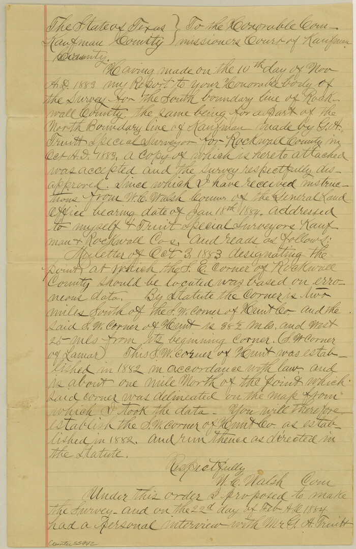
Kaufman County Boundary File 5

Print $37.00
- Digital $50.00
Kaufman County Boundary File 5
Size 13.4 x 8.7 inches
Map/Doc 55942
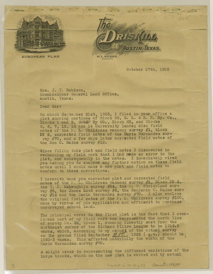
Crockett County Sketch File 92

Print $21.00
- Digital $50.00
Crockett County Sketch File 92
1925
Size 11.4 x 8.8 inches
Map/Doc 19937
State of Texas, Wheeler County, Surveys 37-44-46, Block 17


Print $20.00
- Digital $50.00
State of Texas, Wheeler County, Surveys 37-44-46, Block 17
Size 19.4 x 13.0 inches
Map/Doc 92115
Dimmit County Sketch File 48


Print $20.00
- Digital $50.00
Dimmit County Sketch File 48
1909
Size 17.9 x 19.3 inches
Map/Doc 11357
Field Notes of Surveys in Travis District (Callahan, Coleman, and Runnels Counties)


Field Notes of Surveys in Travis District (Callahan, Coleman, and Runnels Counties)
Map/Doc 81675
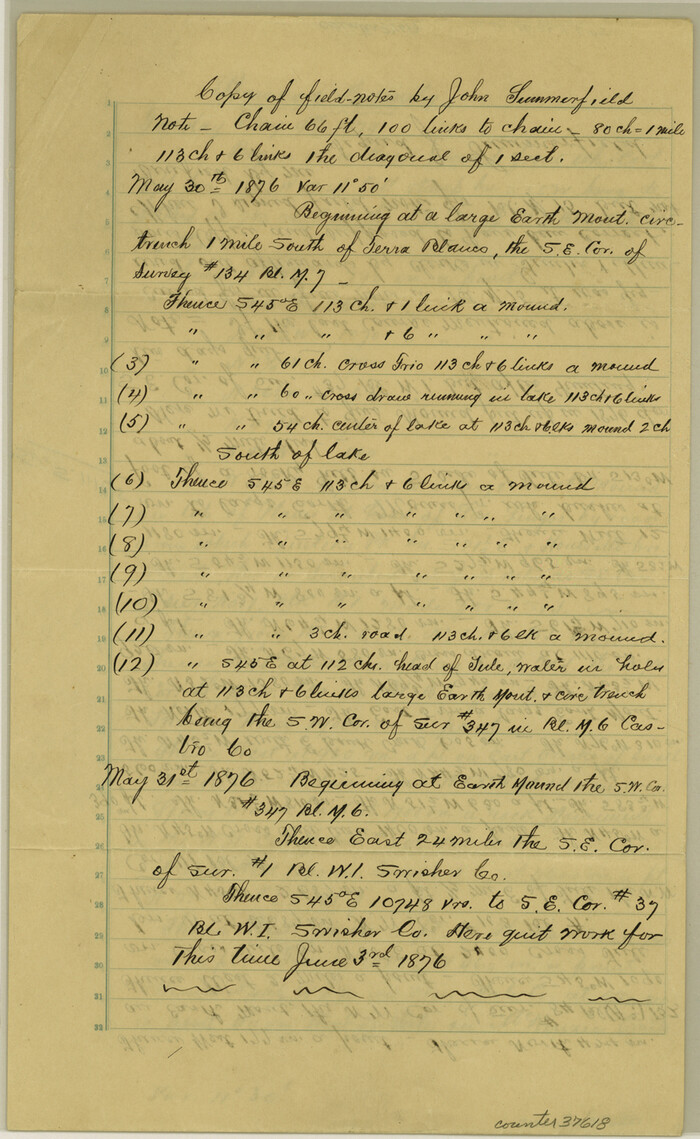
Swisher County Sketch File 5

Print $8.00
- Digital $50.00
Swisher County Sketch File 5
1876
Size 14.3 x 8.8 inches
Map/Doc 37618
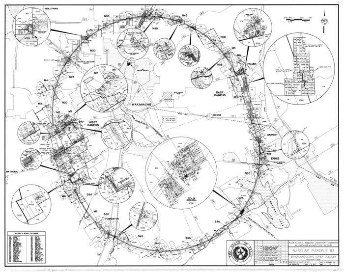
Baseline Parcels 83 - Superconducting Super Collider

Print $20.00
- Digital $50.00
Baseline Parcels 83 - Superconducting Super Collider
1991
Size 31.0 x 39.2 inches
Map/Doc 93676
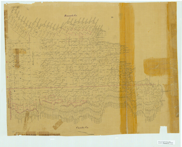
Runnels County Rolled Sketch 23

Print $20.00
- Digital $50.00
Runnels County Rolled Sketch 23
Size 21.8 x 27.0 inches
Map/Doc 7514
Travis County Rolled Sketch 25


Print $20.00
- Digital $50.00
Travis County Rolled Sketch 25
1942
Size 22.1 x 29.2 inches
Map/Doc 8026
![91459, [Leagues 258, 259, 278, 287, 288, and Vicinity], Twichell Survey Records](https://historictexasmaps.com/wmedia_w1800h1800/maps/91459-1.tif.jpg)
