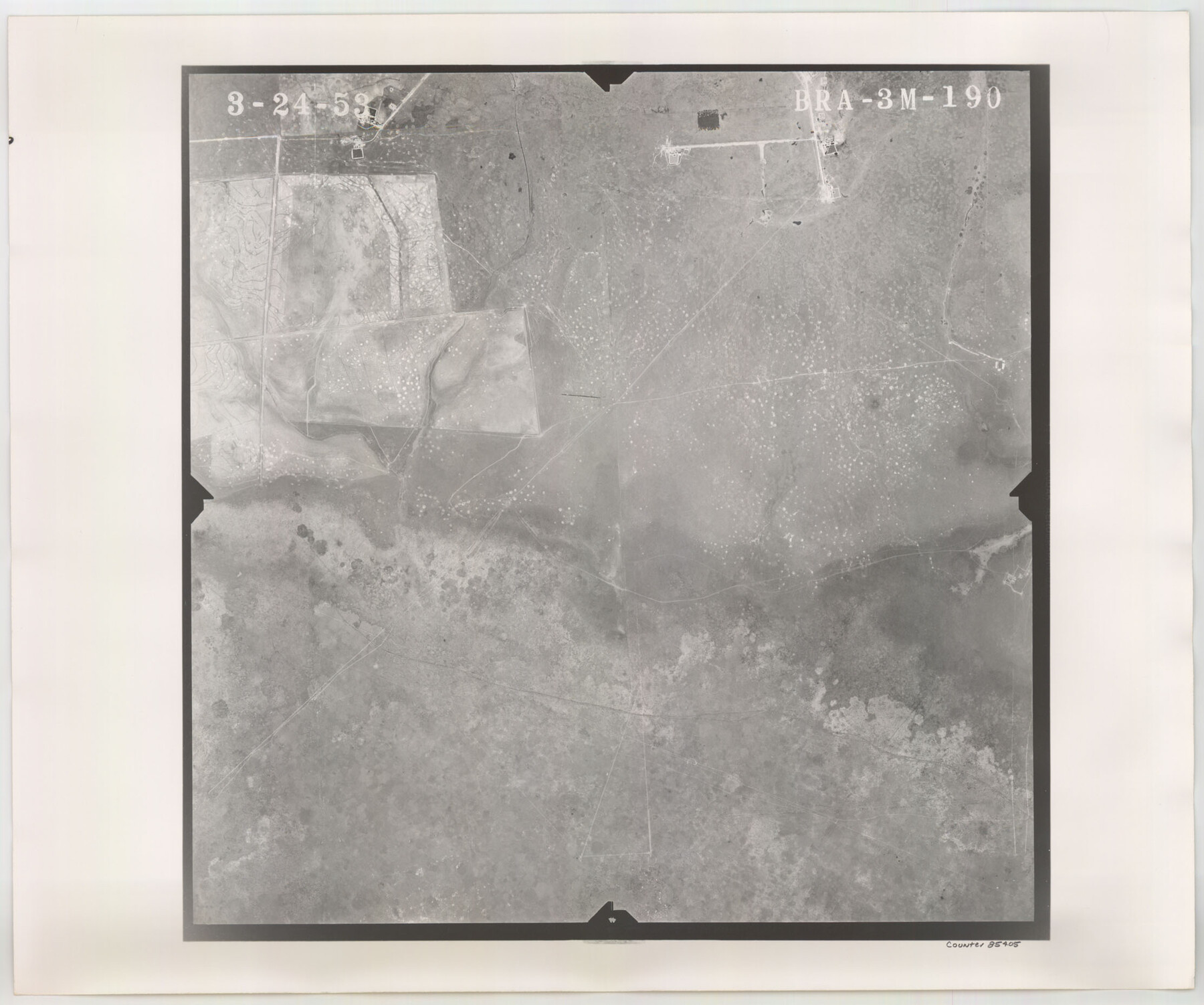
Flight Mission No. BRA-3M, Frame 190, Jefferson County
BRA-3M-190
-
Map/Doc
85405
-
Collection
General Map Collection
-
Object Dates
1953/3/24 (Creation Date)
-
People and Organizations
U. S. Department of Agriculture (Publisher)
-
Counties
Jefferson
-
Subjects
Aerial Photograph
-
Height x Width
18.6 x 22.3 inches
47.2 x 56.6 cm
-
Comments
Flown by Jack Ammann Photogrammetric Engineers of San Antonio, Texas.
Part of: General Map Collection
Nueces County Sketch File 29

Print $40.00
- Digital $50.00
Nueces County Sketch File 29
1907
Size 17.2 x 14.2 inches
Map/Doc 32598
Erath County Sketch File 15

Print $4.00
- Digital $50.00
Erath County Sketch File 15
1872
Size 6.2 x 7.6 inches
Map/Doc 22292
170th Anniversary Land Commissioners of the Texas General Land Office

Print $20.00
- Digital $50.00
170th Anniversary Land Commissioners of the Texas General Land Office
2006
Size 36.4 x 24.1 inches
Map/Doc 87177
Texas Official Highway Travel Map

Digital $50.00
Texas Official Highway Travel Map
Size 27.2 x 36.2 inches
Map/Doc 94305
Starr County Sketch File 15

Print $10.00
- Digital $50.00
Starr County Sketch File 15
Size 12.1 x 7.4 inches
Map/Doc 36869
Phelps & Ensign's Travellers' Guide, and Map of the United States containing the roads, distances, steam boat and canal routes & c.

Print $20.00
- Digital $50.00
Phelps & Ensign's Travellers' Guide, and Map of the United States containing the roads, distances, steam boat and canal routes & c.
1841
Size 28.8 x 33.9 inches
Map/Doc 96875
Brooks County Rolled Sketch 23

Print $40.00
- Digital $50.00
Brooks County Rolled Sketch 23
Size 42.4 x 74.4 inches
Map/Doc 8538
Lampasas County Sketch File 12

Print $8.00
- Digital $50.00
Lampasas County Sketch File 12
1874
Size 6.0 x 7.9 inches
Map/Doc 29422
Comanche County Sketch File 22a

Print $2.00
- Digital $50.00
Comanche County Sketch File 22a
Size 8.2 x 7.6 inches
Map/Doc 19108
Taylor County Working Sketch 3

Print $20.00
- Digital $50.00
Taylor County Working Sketch 3
1939
Size 15.2 x 19.2 inches
Map/Doc 69612
Rio Grande Rectification Project, El Paso and Juarez Valley

Print $20.00
- Digital $50.00
Rio Grande Rectification Project, El Paso and Juarez Valley
1935
Size 10.7 x 29.6 inches
Map/Doc 60859
Clay County Sketch File 39

Print $10.00
- Digital $50.00
Clay County Sketch File 39
1940
Size 14.3 x 8.7 inches
Map/Doc 18472
You may also like
Uvalde County Working Sketch Graphic Index

Print $20.00
- Digital $50.00
Uvalde County Working Sketch Graphic Index
1976
Size 42.5 x 46.2 inches
Map/Doc 76723
Voyages Autour du Monde, et vers les deux poles par terre et par mer - Tome Second

Voyages Autour du Monde, et vers les deux poles par terre et par mer - Tome Second
1782
Map/Doc 97086
Newton County

Print $40.00
- Digital $50.00
Newton County
1946
Size 48.7 x 42.6 inches
Map/Doc 73250

Bowie County Working Sketch 6

Print $20.00
- Digital $50.00
Bowie County Working Sketch 6
1928
Size 27.4 x 22.9 inches
Map/Doc 67410
Lampasas County Boundary File 5

Print $16.00
- Digital $50.00
Lampasas County Boundary File 5
Size 11.1 x 8.7 inches
Map/Doc 56128
Map of Polk County

Print $20.00
- Digital $50.00
Map of Polk County
1881
Size 25.7 x 21.1 inches
Map/Doc 3962

Map of a part of Laguna Madre showing subdivision for mineral development

Print $20.00
- Digital $50.00
Map of a part of Laguna Madre showing subdivision for mineral development
1948
Size 37.4 x 27.7 inches
Map/Doc 2914
Field Notes of Surveys in Travis District (Callahan, Coleman, and Runnels Counties)

Field Notes of Surveys in Travis District (Callahan, Coleman, and Runnels Counties)
Map/Doc 81675
Grayson County Working Sketch 27

Print $20.00
- Digital $50.00
Grayson County Working Sketch 27
1988
Size 29.8 x 35.9 inches
Map/Doc 63266
Collin County, Texas

Print $20.00
- Digital $50.00
Collin County, Texas
1879
Size 19.6 x 17.0 inches
Map/Doc 559