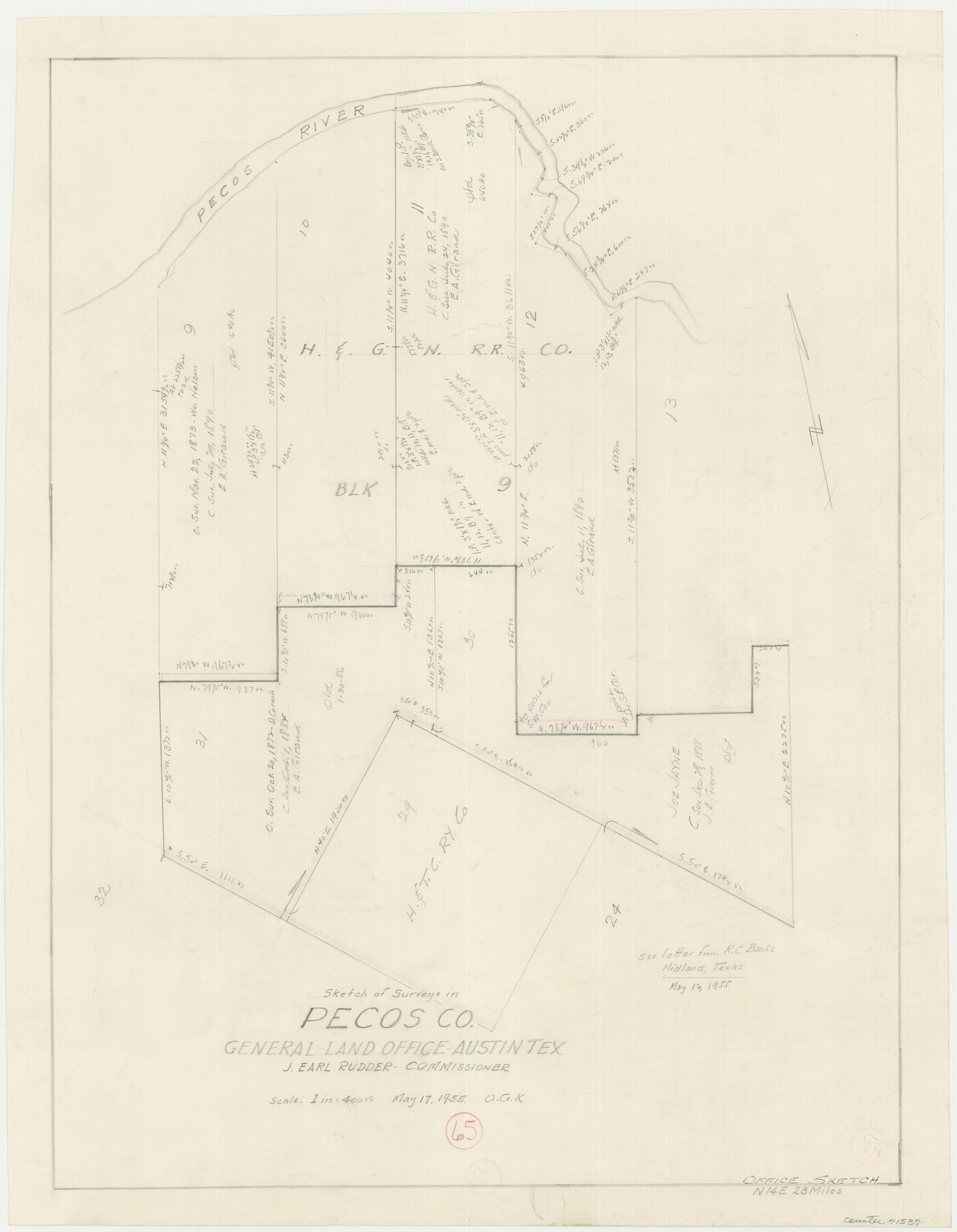
Pecos County Working Sketch 65
-
Map/Doc
71537
-
Collection
General Map Collection
-
Object Dates
5/17/1955 (Creation Date)
-
People and Organizations
Otto G. Kurio (Draftsman)
-
Counties
Pecos
-
Subjects
Surveying Working Sketch
-
Height x Width
25.0 x 19.4 inches
63.5 x 49.3 cm
-
Scale
1" = 400 varas
Part of: General Map Collection
Leon County Working Sketch 54

Print $20.00
- Digital $50.00
Leon County Working Sketch 54
1982
Size 34.0 x 42.0 inches
Map/Doc 70454
Swisher County Working Sketch 6

Print $20.00
- Digital $50.00
Swisher County Working Sketch 6
1979
Size 23.2 x 19.7 inches
Map/Doc 62417
Matagorda County Sketch File 47

Print $68.00
- Digital $50.00
Matagorda County Sketch File 47
Size 11.2 x 8.6 inches
Map/Doc 30976

Culberson County Sketch File 32

Print $22.00
- Digital $50.00
Culberson County Sketch File 32
1952
Size 11.2 x 8.7 inches
Map/Doc 20285
Floyd County Sketch File 23

Print $8.00
- Digital $50.00
Floyd County Sketch File 23
1914
Size 11.6 x 9.0 inches
Map/Doc 22776
Pecos County Sketch File 14

Print $20.00
- Digital $50.00
Pecos County Sketch File 14
Size 27.7 x 16.5 inches
Map/Doc 12157
Presidio County Working Sketch 119

Print $20.00
- Digital $50.00
Presidio County Working Sketch 119
1983
Size 36.7 x 37.1 inches
Map/Doc 71796
Map of Swisher County

Print $20.00
- Digital $50.00
Map of Swisher County
1898
Size 36.4 x 32.7 inches
Map/Doc 16889

Outer Continental Shelf Leasing Maps (Texas Offshore Operations)

Print $20.00
- Digital $50.00
Outer Continental Shelf Leasing Maps (Texas Offshore Operations)
1954
Size 14.7 x 14.2 inches
Map/Doc 75834
Railroad Track Map, H&TCRRCo., Falls County, Texas

Print $4.00
- Digital $50.00
Railroad Track Map, H&TCRRCo., Falls County, Texas
1918
Size 11.3 x 18.5 inches
Map/Doc 62847
You may also like
Runnels County Rolled Sketch 39

Print $20.00
- Digital $50.00
Runnels County Rolled Sketch 39
Size 34.3 x 31.6 inches
Map/Doc 7526
Cochran County Sketch File 7

Print $10.00
- Digital $50.00
Cochran County Sketch File 7
1940
Size 11.2 x 8.6 inches
Map/Doc 18550
A new map for travellers through the United States of America showing the railroads, canals & stageroads with the distances

Print $20.00
- Digital $50.00
A new map for travellers through the United States of America showing the railroads, canals & stageroads with the distances
1846
Size 22.4 x 27.9 inches
Map/Doc 95921
Fort Bend County

Print $20.00
- Digital $50.00
Fort Bend County
1873
Size 18.0 x 21.4 inches
Map/Doc 3555

Ward County Working Sketch 16

Print $20.00
- Digital $50.00
Ward County Working Sketch 16
1948
Size 29.6 x 33.9 inches
Map/Doc 72322
Map of McClennan County

Print $20.00
- Digital $50.00
Map of McClennan County
1871
Size 18.0 x 21.7 inches
Map/Doc 3862
Brewster County Working Sketch 82

Print $20.00
- Digital $50.00
Brewster County Working Sketch 82
1973
Size 45.3 x 36.6 inches
Map/Doc 67682

Pecos County Rolled Sketch 106

Print $40.00
- Digital $50.00
Pecos County Rolled Sketch 106
1940
Size 45.1 x 58.4 inches
Map/Doc 9718
Crosby County Boundary File 4a

Print $30.00
- Digital $50.00
Crosby County Boundary File 4a
Size 8.8 x 32.8 inches
Map/Doc 52028
Matagorda County Working Sketch 19

Print $20.00
- Digital $50.00
Matagorda County Working Sketch 19
1961
Size 31.7 x 42.3 inches
Map/Doc 70877