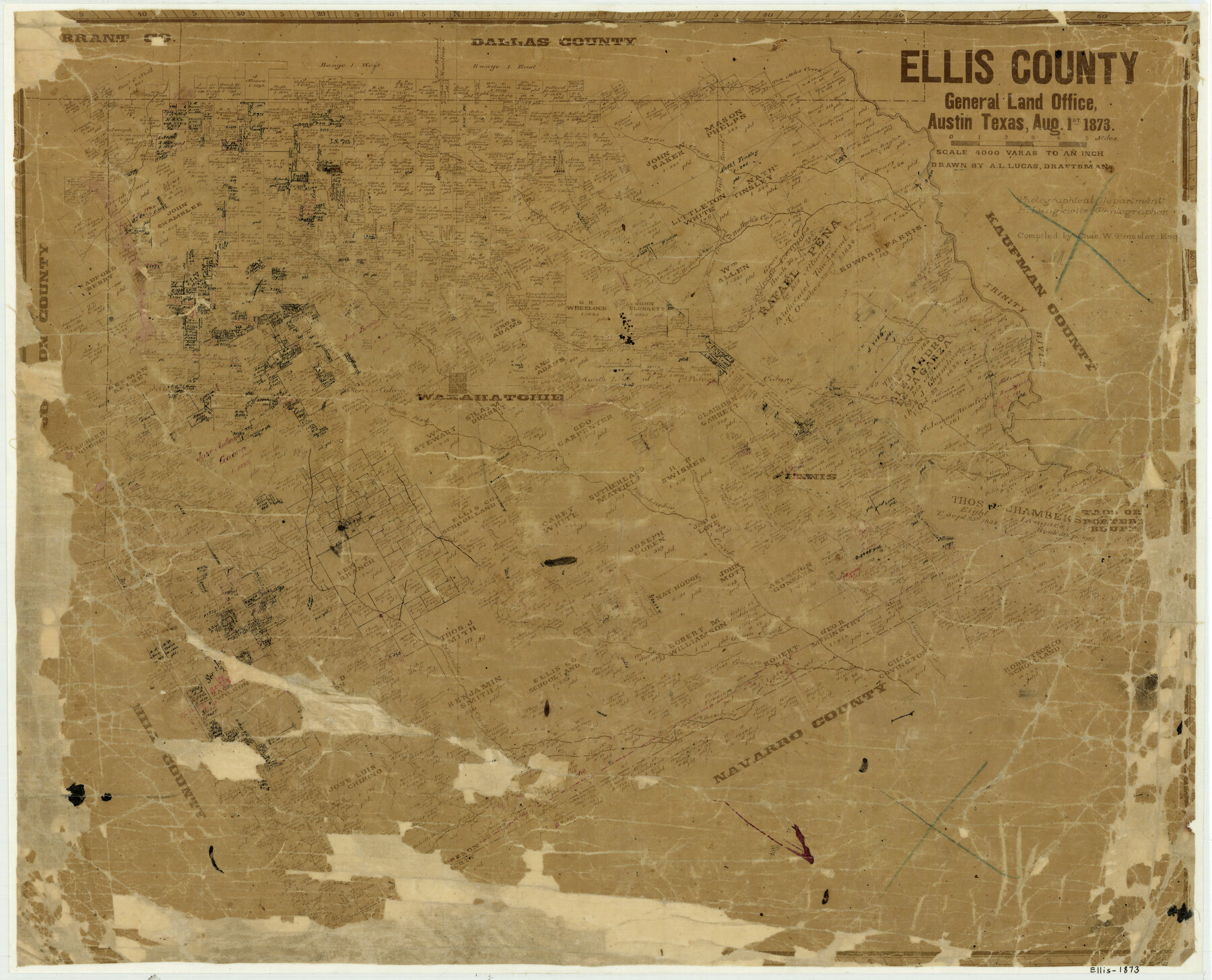
Ellis County
-
Map/Doc
3511
-
Collection
General Map Collection
-
Object Dates
8/1/1873 (Creation Date)
-
People and Organizations
Chas. W. Pressler (Compiler)
A.L. Lucas (Draftsman)
-
Counties
Ellis
-
Subjects
County
-
Height x Width
18.7 x 23.1 inches
47.5 x 58.7 cm
-
Features
Mustang Creek
Rooster Creek
Cummins Creek
Clear Creek
Grove Creek
Porter's Bluff
Taos
Hog Creek
Chambers Creek
Mill Creek
Onion Creek
West Fork of Onion Creek
East Fork of Onion Creek
Walker's Branch of Trinity River
Village Creek
Ennis
Smith's Creek
Waxahachie Creek
South Fork of Waxahachie Creek
North Fork of Waxahachie Creek
Waxahatchie [sic]
H&TC
Trinity River
Ten Miles Creek
Bullock's Creek
Brushy Creek
Subtell's Creek
Bear Creek
Red Oak Creek
Long Branch
Elm Creek
Mountain Creek
Part of: General Map Collection
Travis County Rolled Sketch 47

Print $40.00
- Digital $50.00
Travis County Rolled Sketch 47
1931
Size 57.2 x 25.4 inches
Map/Doc 10628
State Prison Lands Transferred to A&M College, Forest Division, Cherokee County

Print $4.00
- Digital $50.00
State Prison Lands Transferred to A&M College, Forest Division, Cherokee County
1932
Size 11.1 x 20.1 inches
Map/Doc 65086
Corpus Christi Bay

Print $20.00
- Digital $50.00
Corpus Christi Bay
1973
Size 36.6 x 47.7 inches
Map/Doc 73474
Washington County

Print $20.00
- Digital $50.00
Washington County
1863
Size 15.9 x 27.2 inches
Map/Doc 4127
Deaf Smith County

Print $40.00
- Digital $50.00
Deaf Smith County
1926
Size 38.5 x 50.3 inches
Map/Doc 95477
Swisher County Boundary File 1

Print $72.00
- Digital $50.00
Swisher County Boundary File 1
Size 9.0 x 4.5 inches
Map/Doc 59075
Wharton County Rolled Sketch 7

Print $20.00
- Digital $50.00
Wharton County Rolled Sketch 7
Size 38.0 x 26.9 inches
Map/Doc 8231
Travis County Sketch File 30

Print $6.00
- Digital $50.00
Travis County Sketch File 30
1884
Size 17.0 x 11.0 inches
Map/Doc 38343
Limestone County Working Sketch 12

Print $20.00
- Digital $50.00
Limestone County Working Sketch 12
1922
Size 18.5 x 12.8 inches
Map/Doc 70562
Map of Titus County

Print $20.00
- Digital $50.00
Map of Titus County
1860
Size 20.9 x 21.8 inches
Map/Doc 4081
Roberts County Working Sketch 30

Print $20.00
- Digital $50.00
Roberts County Working Sketch 30
1983
Size 47.4 x 38.5 inches
Map/Doc 63556
Sketch of Resurvey of J. R. Castlebury Est., SF 12725 in Gregg County

Print $20.00
- Digital $50.00
Sketch of Resurvey of J. R. Castlebury Est., SF 12725 in Gregg County
1931
Size 38.6 x 33.3 inches
Map/Doc 2039
You may also like
Jefferson County Rolled Sketch 58

Print $40.00
- Digital $50.00
Jefferson County Rolled Sketch 58
1897
Size 21.4 x 60.3 inches
Map/Doc 9312
Cameron County Rolled Sketch 24

Print $40.00
- Digital $50.00
Cameron County Rolled Sketch 24
1968
Size 30.4 x 66.7 inches
Map/Doc 8574
Pecos County Rolled Sketch 139

Print $40.00
- Digital $50.00
Pecos County Rolled Sketch 139
1953
Size 41.0 x 57.4 inches
Map/Doc 9732
San Patricio County Sketch File 21

Print $6.00
San Patricio County Sketch File 21
1913
Size 10.3 x 13.7 inches
Map/Doc 36076
Crockett County Rolled Sketch 23

Print $20.00
- Digital $50.00
Crockett County Rolled Sketch 23
1924
Size 34.2 x 26.6 inches
Map/Doc 5583

Angelina County Rolled Sketch 3

Print $20.00
- Digital $50.00
Angelina County Rolled Sketch 3
Size 25.9 x 42.5 inches
Map/Doc 77186
Guide map of the Great Texas Cattle Trail from Red River crossing to the Old Reliable Kansas Pacific Railway

Print $20.00
- Digital $50.00
Guide map of the Great Texas Cattle Trail from Red River crossing to the Old Reliable Kansas Pacific Railway
1873
Size 23.4 x 17.6 inches
Map/Doc 93938
McMullen County Rolled Sketch 5

Print $20.00
- Digital $50.00
McMullen County Rolled Sketch 5
Size 46.4 x 26.8 inches
Map/Doc 6723
Nueces County Rolled Sketch 126 A-G

Print $22.00
- Digital $50.00
Nueces County Rolled Sketch 126 A-G
1998
Size 11.3 x 8.8 inches
Map/Doc 8962
Ownership Map Lamb County

Print $20.00
- Digital $50.00
Ownership Map Lamb County
1934
Size 37.6 x 45.0 inches
Map/Doc 89847
[Sketch showing C. W. Dakan, Wm. H. Walker and surrounding surveys]
![90880, [Sketch showing C. W. Dakan, Wm. H. Walker and surrounding surveys], Twichell Survey Records](https://historictexasmaps.com/wmedia_w700/maps/90880-1.tif.jpg)
Print $2.00
- Digital $50.00
[Sketch showing C. W. Dakan, Wm. H. Walker and surrounding surveys]
1919
Size 8.9 x 12.3 inches
Map/Doc 90880