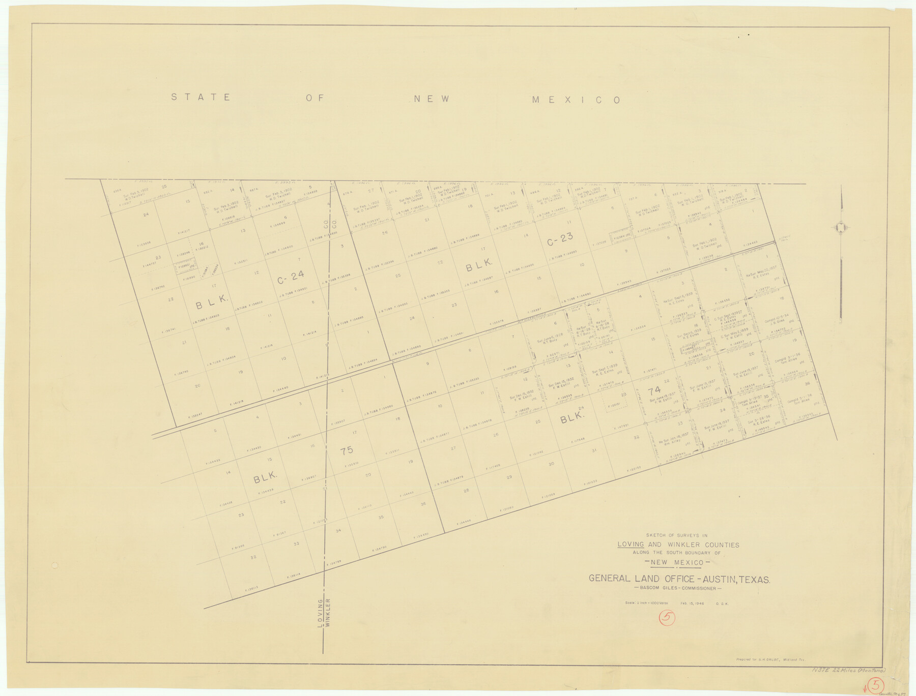
Loving County Working Sketch 5
-
Map/Doc
70637
-
Collection
General Map Collection
-
Object Dates
2/15/1946 (Creation Date)
-
People and Organizations
Otto G. Kurio (Draftsman)
-
Counties
Loving Winkler
-
Subjects
Surveying Working Sketch
-
Height x Width
29.7 x 39.0 inches
75.4 x 99.1 cm
-
Scale
1" = 1000 varas
Part of: General Map Collection
Red River County Working Sketch 58

Print $40.00
- Digital $50.00
Red River County Working Sketch 58
1972
Size 51.4 x 39.0 inches
Map/Doc 72041
Upton County Working Sketch 30

Print $40.00
- Digital $50.00
Upton County Working Sketch 30
1956
Size 31.7 x 57.1 inches
Map/Doc 69526
Pecos County Working Sketch 123

Print $20.00
- Digital $50.00
Pecos County Working Sketch 123
1973
Size 42.4 x 24.2 inches
Map/Doc 71596

Map No. 1 - Rio Bravo del Norte section of boundary between the United States & Mexico agreed upon by the Joint Commission under the Treaty of Guadalupe Hidalgo

Print $20.00
- Digital $50.00
Map No. 1 - Rio Bravo del Norte section of boundary between the United States & Mexico agreed upon by the Joint Commission under the Treaty of Guadalupe Hidalgo
1852
Size 18.3 x 27.0 inches
Map/Doc 72863
Panola County Sketch File 9

Print $8.00
- Digital $50.00
Panola County Sketch File 9
Size 13.9 x 8.5 inches
Map/Doc 33461
Red River County Sketch File 10

Print $15.00
- Digital $50.00
Red River County Sketch File 10
1863
Size 9.1 x 7.4 inches
Map/Doc 35121

Cooke County Sketch File 13

Print $20.00
- Digital $50.00
Cooke County Sketch File 13
1859
Size 27.1 x 19.0 inches
Map/Doc 11171
United States - Gulf Coast Texas - Southern part of Laguna Madre

Print $20.00
- Digital $50.00
United States - Gulf Coast Texas - Southern part of Laguna Madre
1941
Size 26.6 x 18.2 inches
Map/Doc 72941
Flight Mission No. CUG-1P, Frame 109, Kleberg County

Print $20.00
- Digital $50.00
Flight Mission No. CUG-1P, Frame 109, Kleberg County
1956
Size 18.6 x 22.3 inches
Map/Doc 86159
Frio County Working Sketch 18

Print $20.00
- Digital $50.00
Frio County Working Sketch 18
1982
Size 35.7 x 36.8 inches
Map/Doc 69292
You may also like
The Republic County of Colorado. Spring 1842

Print $20.00
The Republic County of Colorado. Spring 1842
2020
Size 18.4 x 21.7 inches
Map/Doc 96126
Brewster County Working Sketch 62

Print $20.00
- Digital $50.00
Brewster County Working Sketch 62
1956
Size 22.7 x 20.2 inches
Map/Doc 67663
Map of the Missouri Pacific and St. Louis, Iron Mountain and Southern Railways and Connections

Print $20.00
- Digital $50.00
Map of the Missouri Pacific and St. Louis, Iron Mountain and Southern Railways and Connections
1898
Size 17.7 x 32.1 inches
Map/Doc 95791
Erath County Sketch File A

Print $4.00
- Digital $50.00
Erath County Sketch File A
Size 8.6 x 11.0 inches
Map/Doc 22249
Hall County Rolled Sketch 5

Print $20.00
- Digital $50.00
Hall County Rolled Sketch 5
1914
Size 30.2 x 37.1 inches
Map/Doc 6049
Starr County Working Sketch 11

Print $20.00
- Digital $50.00
Starr County Working Sketch 11
1944
Size 18.1 x 17.7 inches
Map/Doc 63927
Coke County Working Sketch 2

Print $20.00
- Digital $50.00
Coke County Working Sketch 2
Size 22.8 x 22.3 inches
Map/Doc 68039
Duval County Sketch File 46

Print $4.00
- Digital $50.00
Duval County Sketch File 46
Size 8.8 x 9.4 inches
Map/Doc 21400
Hudspeth County Working Sketch 62

Print $20.00
- Digital $50.00
Hudspeth County Working Sketch 62
1993
Size 23.9 x 32.4 inches
Map/Doc 66347
Uvalde County Working Sketch 37

Print $20.00
- Digital $50.00
Uvalde County Working Sketch 37
1969
Size 26.7 x 34.0 inches
Map/Doc 72107
Bowie County Sketch File 6e

Print $4.00
- Digital $50.00
Bowie County Sketch File 6e
1927
Size 11.2 x 8.4 inches
Map/Doc 14852
Edwards County Working Sketch 124

Print $20.00
- Digital $50.00
Edwards County Working Sketch 124
1976
Size 20.0 x 27.8 inches
Map/Doc 69000