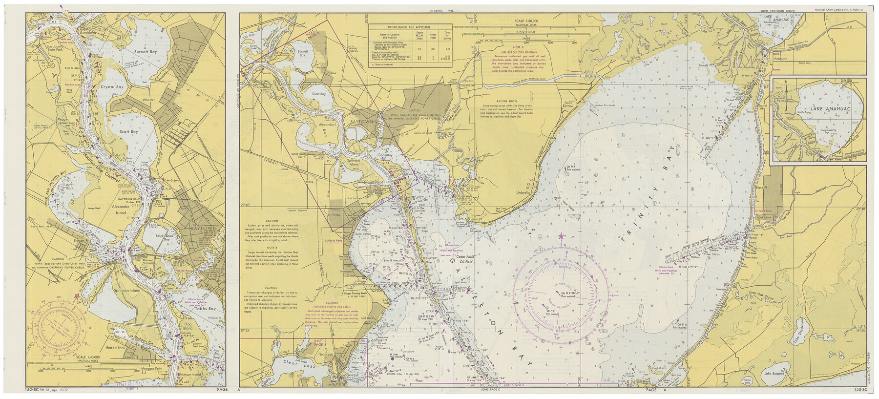
Nautical Chart 152-SC - Galveston Bay, Texas
-
Map/Doc
69889
-
Collection
General Map Collection
-
Object Dates
4/15/1972 (Creation Date)
-
Counties
Chambers Harris Galveston
-
Subjects
Nautical Charts
-
Height x Width
14.9 x 32.8 inches
37.9 x 83.3 cm
Part of: General Map Collection

Bastrop County Boundary File 5

Print $18.00
- Digital $50.00
Bastrop County Boundary File 5
Size 9.1 x 7.2 inches
Map/Doc 50328
Deaf Smith County Sketch File 5

Print $9.00
- Digital $50.00
Deaf Smith County Sketch File 5
1905
Size 11.3 x 8.9 inches
Map/Doc 20648
Maverick County Sketch File 23a

Print $20.00
- Digital $50.00
Maverick County Sketch File 23a
Size 41.0 x 41.1 inches
Map/Doc 10537
Crockett County Working Sketch 50

Print $20.00
- Digital $50.00
Crockett County Working Sketch 50
1940
Size 30.3 x 24.9 inches
Map/Doc 68383
Upton County Sketch File 29

Print $40.00
- Digital $50.00
Upton County Sketch File 29
1935
Size 16.9 x 14.4 inches
Map/Doc 38881
Flight Mission No. DAH-17M, Frame 24, Orange County

Print $20.00
- Digital $50.00
Flight Mission No. DAH-17M, Frame 24, Orange County
1953
Size 18.5 x 22.4 inches
Map/Doc 86887

Corpus Christi Harbor

Print $40.00
- Digital $50.00
Corpus Christi Harbor
1972
Size 36.9 x 52.3 inches
Map/Doc 73477
Terry County Rolled Sketch 11

Print $20.00
- Digital $50.00
Terry County Rolled Sketch 11
2022
Size 37.1 x 25.1 inches
Map/Doc 97101
Roberts County Boundary File 2a

Print $10.00
- Digital $50.00
Roberts County Boundary File 2a
Size 9.5 x 6.4 inches
Map/Doc 58339
Crockett County Rolled Sketch 42

Print $20.00
- Digital $50.00
Crockett County Rolled Sketch 42
Size 24.4 x 24.7 inches
Map/Doc 5592
You may also like
Flight Mission No. DQN-3K, Frame 12, Calhoun County

Print $20.00
- Digital $50.00
Flight Mission No. DQN-3K, Frame 12, Calhoun County
1953
Size 18.8 x 22.4 inches
Map/Doc 84344
Coke County Sketch File 31

Print $4.00
- Digital $50.00
Coke County Sketch File 31
Size 14.1 x 8.8 inches
Map/Doc 18643
Cass County Sketch File 5 and 5a

Print $6.00
- Digital $50.00
Cass County Sketch File 5 and 5a
1851
Size 2.8 x 5.1 inches
Map/Doc 17401
The Judicial District/County of Burleson. Abolished, Spring 1842

Print $20.00
The Judicial District/County of Burleson. Abolished, Spring 1842
2020
Size 14.1 x 21.7 inches
Map/Doc 96321
Supreme Court of the United States October Term, 1926, No. 6, Original - State of Oklahoma, Complainant vs. The State of Texas, Defendant, the United States, Intervener; Fourth Report of the Boundary Commissioners

Print $482.00
- Digital $50.00
Supreme Court of the United States October Term, 1926, No. 6, Original - State of Oklahoma, Complainant vs. The State of Texas, Defendant, the United States, Intervener; Fourth Report of the Boundary Commissioners
1927
Size 6.0 x 9.2 inches
Map/Doc 3060

City of Houston and Environs

Print $20.00
City of Houston and Environs
1895
Size 30.4 x 33.6 inches
Map/Doc 93486
Moore County Sketch File 4

Print $20.00
- Digital $50.00
Moore County Sketch File 4
1895
Size 17.2 x 29.4 inches
Map/Doc 42127
Map of Bexar County Showing Subdivisions of Original Surveys and Names of Present Owners

Print $20.00
Map of Bexar County Showing Subdivisions of Original Surveys and Names of Present Owners
1897
Size 46.2 x 41.3 inches
Map/Doc 88908
Map of the River Sabine from its Mouth on the Gulf of Mexico in the Sea to Logan's Ferry in Latitude 31°58'24" north

Print $40.00
Map of the River Sabine from its Mouth on the Gulf of Mexico in the Sea to Logan's Ferry in Latitude 31°58'24" north
1840
Size 35.0 x 170.0 inches
Map/Doc 88901
Knox County Rolled Sketch 17

Print $20.00
- Digital $50.00
Knox County Rolled Sketch 17
1892
Size 31.0 x 39.2 inches
Map/Doc 10670
Cooke County Sketch File 35a

Print $4.00
- Digital $50.00
Cooke County Sketch File 35a
1879
Size 8.9 x 8.6 inches
Map/Doc 19302