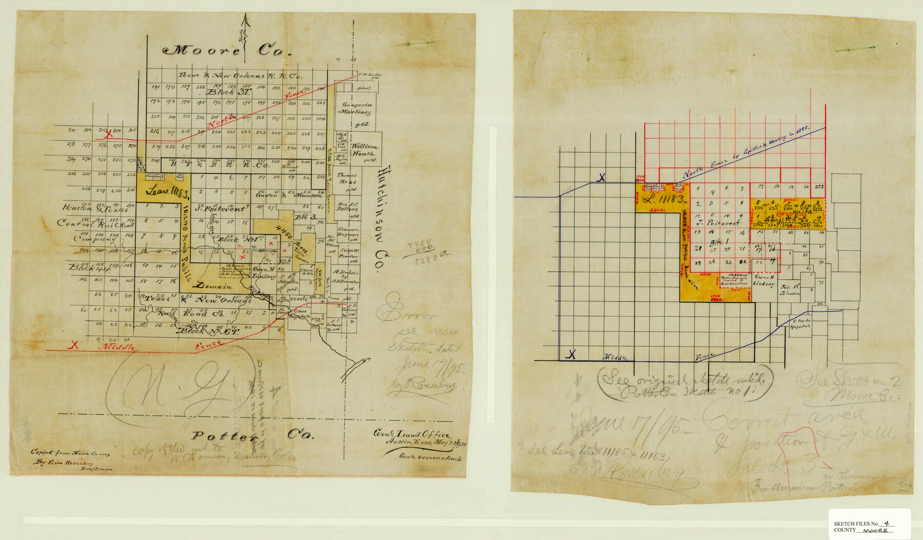
Moore County Sketch File 4
[Sketch in eastern part of Moore County]
-
Map/Doc
42127
-
Collection
General Map Collection
-
Object Dates
6/17/1895 (Creation Date)
6/17/1895 (File Date)
-
People and Organizations
E. von Rosenberg (Draftsman)
-
Counties
Moore Hutchinson
-
Subjects
Surveying Sketch File
-
Height x Width
17.2 x 29.4 inches
43.7 x 74.7 cm
-
Medium
paper, manuscript
-
Scale
1:4000
-
Features
Big Blue Creek
Pollard Branch [of Big Blue Creek]
Little Blue Creek
Part of: General Map Collection
Northwest Part of Webb County

Print $40.00
- Digital $50.00
Northwest Part of Webb County
1984
Size 42.0 x 50.2 inches
Map/Doc 77454
[Kansas City, Mexico & Orient] Plat Showing Sections 10 & 17, Block 351, GC & SF Ry. Survey, Presidio County, Texas
![64270, [Kansas City, Mexico & Orient] Plat Showing Sections 10 & 17, Block 351, GC & SF Ry. Survey, Presidio County, Texas, General Map Collection](https://historictexasmaps.com/wmedia_w700/maps/64270-1.tif.jpg)
Print $20.00
- Digital $50.00
[Kansas City, Mexico & Orient] Plat Showing Sections 10 & 17, Block 351, GC & SF Ry. Survey, Presidio County, Texas
Size 17.6 x 16.0 inches
Map/Doc 64270
Stephens County Sketch File 23

Print $12.00
- Digital $50.00
Stephens County Sketch File 23
1919
Size 11.1 x 8.8 inches
Map/Doc 37084
Harris County State Real Property Sketch 5

Print $20.00
- Digital $50.00
Harris County State Real Property Sketch 5
2003
Size 24.5 x 36.0 inches
Map/Doc 82007
Map of Grayson County

Print $20.00
- Digital $50.00
Map of Grayson County
1871
Size 19.5 x 17.8 inches
Map/Doc 1088
Brewster County Rolled Sketch 11A

Print $20.00
- Digital $50.00
Brewster County Rolled Sketch 11A
1881
Size 24.9 x 23.0 inches
Map/Doc 5192
Tom Green County Rolled Sketch 4

Print $20.00
- Digital $50.00
Tom Green County Rolled Sketch 4
Size 28.2 x 23.6 inches
Map/Doc 7994
Current Miscellaneous File 26

Print $4.00
- Digital $50.00
Current Miscellaneous File 26
1952
Size 10.7 x 8.3 inches
Map/Doc 73907
Wise County Working Sketch 27

Print $20.00
- Digital $50.00
Wise County Working Sketch 27
1988
Size 28.0 x 37.2 inches
Map/Doc 72641
Flight Mission No. DQN-2K, Frame 8, Calhoun County

Print $20.00
- Digital $50.00
Flight Mission No. DQN-2K, Frame 8, Calhoun County
1953
Size 15.8 x 15.6 inches
Map/Doc 84225
Brewster County Rolled Sketch 59AA

Print $20.00
- Digital $50.00
Brewster County Rolled Sketch 59AA
1931
Size 19.2 x 24.0 inches
Map/Doc 5228
Calhoun County Rolled Sketch 30

Print $20.00
- Digital $50.00
Calhoun County Rolled Sketch 30
1974
Size 18.6 x 27.6 inches
Map/Doc 5493
You may also like
State of Texas, Plate 1: Surface-Water Development, Exisiting Reservoirs and Reservoir Sites

Print $20.00
- Digital $50.00
State of Texas, Plate 1: Surface-Water Development, Exisiting Reservoirs and Reservoir Sites
1984
Size 17.8 x 18.1 inches
Map/Doc 3128
Harris County Working Sketch 43

Print $20.00
- Digital $50.00
Harris County Working Sketch 43
1940
Size 26.8 x 22.1 inches
Map/Doc 65935
Crane County State of Texas

Print $20.00
- Digital $50.00
Crane County State of Texas
1889
Size 22.9 x 17.6 inches
Map/Doc 4524
Hutchinson County Working Sketch 5

Print $20.00
- Digital $50.00
Hutchinson County Working Sketch 5
1912
Size 16.0 x 11.4 inches
Map/Doc 66363
McMullen County Sketch File 28

Print $20.00
- Digital $50.00
McMullen County Sketch File 28
1884
Size 24.8 x 28.1 inches
Map/Doc 12061
Hemphill County Working Sketch 26

Print $40.00
- Digital $50.00
Hemphill County Working Sketch 26
1974
Size 57.2 x 48.3 inches
Map/Doc 66121
Coke County Rolled Sketch 5

Print $20.00
- Digital $50.00
Coke County Rolled Sketch 5
1948
Size 25.5 x 23.6 inches
Map/Doc 5505
Edwards County Sketch File 4

Print $5.00
- Digital $50.00
Edwards County Sketch File 4
Size 9.5 x 11.0 inches
Map/Doc 21680
Karnes County Working Sketch 11

Print $40.00
- Digital $50.00
Karnes County Working Sketch 11
1975
Size 38.1 x 53.6 inches
Map/Doc 66659
Shelby County Working Sketch 36

Print $20.00
- Digital $50.00
Shelby County Working Sketch 36
2011
Size 35.0 x 36.0 inches
Map/Doc 90093

Flight Mission No. CRC-6R, Frame 38, Chambers County

Print $20.00
- Digital $50.00
Flight Mission No. CRC-6R, Frame 38, Chambers County
1956
Size 18.7 x 22.4 inches
Map/Doc 84971