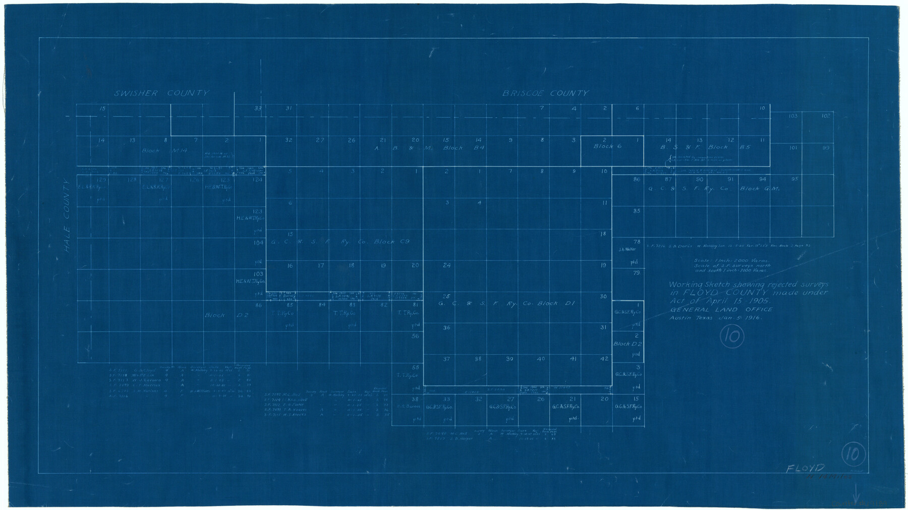
Floyd County Working Sketch 10
-
Map/Doc
69189
-
Collection
General Map Collection
-
Object Dates
1/5/1916 (Creation Date)
-
People and Organizations
J.W. Pritchett (Draftsman)
-
Counties
Floyd
-
Subjects
Surveying Working Sketch
-
Height x Width
15.4 x 27.3 inches
39.1 x 69.3 cm
-
Scale
1" = 2000 varas
Part of: General Map Collection
Flight Mission No. BQY-4M, Frame 114, Harris County

Print $20.00
- Digital $50.00
Flight Mission No. BQY-4M, Frame 114, Harris County
1953
Size 18.7 x 22.5 inches
Map/Doc 85281
Flight Mission No. DQO-12K, Frame 38, Galveston County

Print $20.00
- Digital $50.00
Flight Mission No. DQO-12K, Frame 38, Galveston County
1952
Size 18.8 x 22.5 inches
Map/Doc 85229
Map of Louisiana, Texas, Arkansas and Indian Territory

Print $20.00
- Digital $50.00
Map of Louisiana, Texas, Arkansas and Indian Territory
1885
Size 9.0 x 12.2 inches
Map/Doc 93519
San Patricio County Rolled Sketch 32

Print $20.00
- Digital $50.00
San Patricio County Rolled Sketch 32
1948
Size 38.8 x 25.0 inches
Map/Doc 7583
Tom Green County Sketch File 87

Print $5.00
- Digital $50.00
Tom Green County Sketch File 87
1951
Size 8.7 x 11.2 inches
Map/Doc 38264
Floyd County Boundary File 2

Print $53.00
- Digital $50.00
Floyd County Boundary File 2
Size 8.9 x 4.2 inches
Map/Doc 53462
Jefferson County Working Sketch 44

Print $20.00
- Digital $50.00
Jefferson County Working Sketch 44
1960
Size 42.4 x 36.4 inches
Map/Doc 73592
Glasscock County Sketch File 21

Print $20.00
- Digital $50.00
Glasscock County Sketch File 21
1936
Size 23.1 x 20.3 inches
Map/Doc 11564
[Sketch for Mineral Applications 26885-6 - Reagan and Crockett Cos., W. H. Bland]
![65672, [Sketch for Mineral Applications 26885-6 - Reagan and Crockett Cos., W. H. Bland], General Map Collection](https://historictexasmaps.com/wmedia_w700/maps/65672-1.tif.jpg)
Print $40.00
- Digital $50.00
[Sketch for Mineral Applications 26885-6 - Reagan and Crockett Cos., W. H. Bland]
Size 51.1 x 37.3 inches
Map/Doc 65672
Maverick County Sketch File 24

Print $36.00
- Digital $50.00
Maverick County Sketch File 24
1890
Size 9.1 x 8.7 inches
Map/Doc 31145
Haskell County Working Sketch 9

Print $20.00
- Digital $50.00
Haskell County Working Sketch 9
1959
Size 23.5 x 26.0 inches
Map/Doc 66067
Matagorda County Rolled Sketch 12

Print $20.00
- Digital $50.00
Matagorda County Rolled Sketch 12
Size 30.0 x 28.0 inches
Map/Doc 6681
You may also like
Edwards County Sketch File 23

Print $8.00
- Digital $50.00
Edwards County Sketch File 23
1881
Size 14.4 x 9.0 inches
Map/Doc 21747
Bowie County Boundary File 72 (23)

Print $10.00
- Digital $50.00
Bowie County Boundary File 72 (23)
Size 13.0 x 8.0 inches
Map/Doc 50694
Lynn County Boundary File 6

Print $4.00
- Digital $50.00
Lynn County Boundary File 6
Size 10.9 x 8.8 inches
Map/Doc 56639
Current Miscellaneous File 82

Print $4.00
- Digital $50.00
Current Miscellaneous File 82
Size 12.0 x 8.8 inches
Map/Doc 74224
[G. W. Carlisle Waco Manufacturing Co. Block 1]
![90669, [G. W. Carlisle Waco Manufacturing Co. Block 1], Twichell Survey Records](https://historictexasmaps.com/wmedia_w700/maps/90669-1.tif.jpg)
Print $2.00
- Digital $50.00
[G. W. Carlisle Waco Manufacturing Co. Block 1]
Size 8.4 x 10.9 inches
Map/Doc 90669
Jefferson County Sketch File 8

Print $8.00
- Digital $50.00
Jefferson County Sketch File 8
Size 8.0 x 7.6 inches
Map/Doc 28116
Donley County Sketch File 11

Print $8.00
- Digital $50.00
Donley County Sketch File 11
1892
Size 14.6 x 8.3 inches
Map/Doc 21244
Portion of Lands in Parmer County, Texas Owned and For Sale by Capitol Freehold Land and Investment Co., Ltd.

Print $3.00
- Digital $50.00
Portion of Lands in Parmer County, Texas Owned and For Sale by Capitol Freehold Land and Investment Co., Ltd.
Size 16.7 x 11.3 inches
Map/Doc 91550
Frio County Working Sketch 19

Print $20.00
- Digital $50.00
Frio County Working Sketch 19
1982
Size 36.5 x 34.4 inches
Map/Doc 69293
Coke County Boundary File 3

Print $18.00
- Digital $50.00
Coke County Boundary File 3
Size 8.6 x 4.0 inches
Map/Doc 51584
Kent County Sketch File 12

Print $20.00
- Digital $50.00
Kent County Sketch File 12
1911
Size 26.8 x 23.6 inches
Map/Doc 11916
