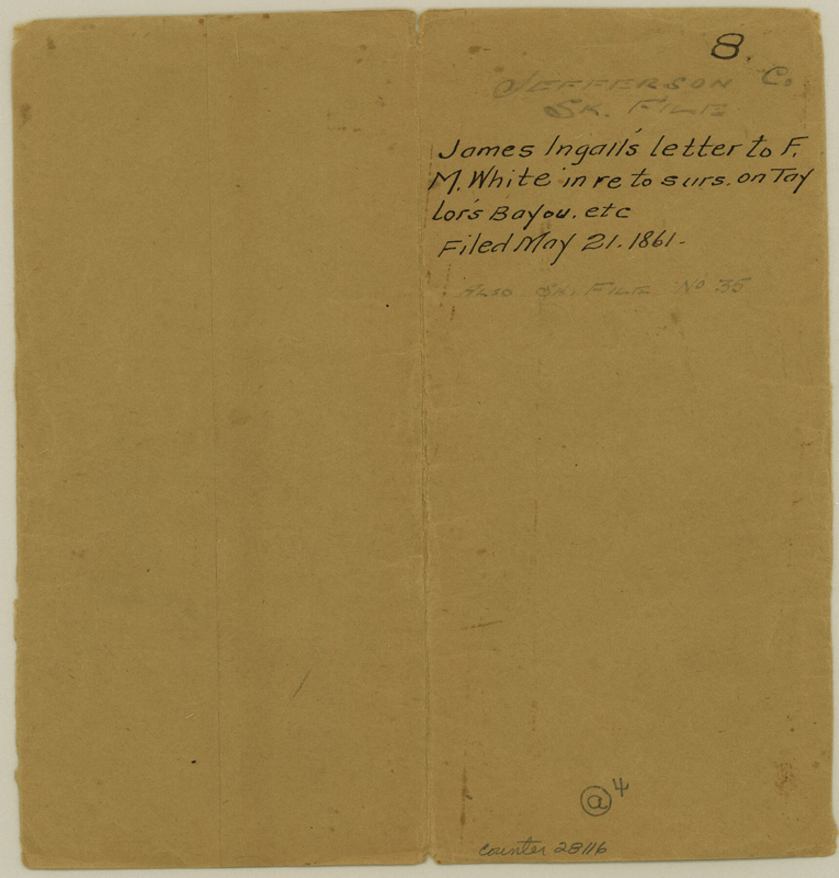
Jefferson County Sketch File 8
[James Ingall's letter to F. M. White regarding surveys on Taylor's Bayou, etc]
-
Map/Doc
28116
-
Collection
General Map Collection
-
Object Dates
5/21/1861 (File Date)
5/12/1861 (Correspondence Date)
-
People and Organizations
Jim Ingalls (Surveyor/Engineer)
-
Counties
Jefferson
-
Subjects
Surveying Sketch File
-
Height x Width
8.0 x 7.6 inches
20.3 x 19.3 cm
-
Medium
paper, manuscript
-
Features
Taylor's Bayou
Part of: General Map Collection
Gaines County Rolled Sketch 13

Print $40.00
- Digital $50.00
Gaines County Rolled Sketch 13
Size 70.1 x 23.1 inches
Map/Doc 9029
Concho, San Saba & Llano Valley Railway, Sterling City Branch, Texas. Right of Way and Track Map

Print $40.00
- Digital $50.00
Concho, San Saba & Llano Valley Railway, Sterling City Branch, Texas. Right of Way and Track Map
1910
Size 17.9 x 120.8 inches
Map/Doc 64436
Stonewall County Working Sketch 29

Print $40.00
- Digital $50.00
Stonewall County Working Sketch 29
1979
Size 48.5 x 43.0 inches
Map/Doc 62336
Williamson County Sketch File 13

Print $5.00
- Digital $50.00
Williamson County Sketch File 13
Size 9.3 x 14.3 inches
Map/Doc 40328
[Map of Grayson County]
![4551, [Map of Grayson County], General Map Collection](https://historictexasmaps.com/wmedia_w700/maps/4551-1.tif.jpg)
Print $20.00
- Digital $50.00
[Map of Grayson County]
1848
Size 25.6 x 20.0 inches
Map/Doc 4551
Flight Mission No. DQO-1K, Frame 147, Galveston County

Print $20.00
- Digital $50.00
Flight Mission No. DQO-1K, Frame 147, Galveston County
1952
Size 18.8 x 22.4 inches
Map/Doc 85000
Nacogdoches County Boundary File 1b

Print $20.00
- Digital $50.00
Nacogdoches County Boundary File 1b
Size 21.2 x 4.9 inches
Map/Doc 57580
Shelby County Rolled Sketch 8

Print $20.00
- Digital $50.00
Shelby County Rolled Sketch 8
Size 40.4 x 45.5 inches
Map/Doc 9923
Jackson County

Print $20.00
- Digital $50.00
Jackson County
1920
Size 46.9 x 40.1 inches
Map/Doc 95541
Harrison County Rolled Sketch 10

Print $20.00
- Digital $50.00
Harrison County Rolled Sketch 10
1956
Size 33.6 x 26.1 inches
Map/Doc 6153
Randall County Sketch File 2

Print $4.00
- Digital $50.00
Randall County Sketch File 2
1913
Size 7.3 x 8.8 inches
Map/Doc 34961
Fayette County Working Sketch 4

Print $20.00
- Digital $50.00
Fayette County Working Sketch 4
1980
Size 31.7 x 36.7 inches
Map/Doc 69168
You may also like
Flight Mission No. DQO-7K, Frame 106, Galveston County

Print $20.00
- Digital $50.00
Flight Mission No. DQO-7K, Frame 106, Galveston County
1952
Size 18.5 x 22.6 inches
Map/Doc 85121
Flight Mission No. CGI-4N, Frame 29, Cameron County

Print $20.00
- Digital $50.00
Flight Mission No. CGI-4N, Frame 29, Cameron County
1954
Size 18.6 x 22.4 inches
Map/Doc 84662
Presidio County Rolled Sketch 80B

Print $20.00
- Digital $50.00
Presidio County Rolled Sketch 80B
1943
Size 17.4 x 18.3 inches
Map/Doc 2060
San Patricio County Sketch File 43

Print $68.00
- Digital $50.00
San Patricio County Sketch File 43
1980
Size 11.3 x 8.9 inches
Map/Doc 36251
[Sketch Showing Exception Number 3 and Exception Number 4]
![91400, [Sketch Showing Exception Number 3 and Exception Number 4], Twichell Survey Records](https://historictexasmaps.com/wmedia_w700/maps/91400-1.tif.jpg)
Print $20.00
- Digital $50.00
[Sketch Showing Exception Number 3 and Exception Number 4]
Size 26.7 x 18.8 inches
Map/Doc 91400
Motley County Sketch File C (N)

Print $48.00
- Digital $50.00
Motley County Sketch File C (N)
Size 7.7 x 18.4 inches
Map/Doc 31978
Brazoria County Sketch File 21

Print $4.00
- Digital $50.00
Brazoria County Sketch File 21
Size 8.3 x 7.5 inches
Map/Doc 15016
General Highway Map, Presidio County, Texas

Print $20.00
General Highway Map, Presidio County, Texas
1940
Size 24.6 x 18.3 inches
Map/Doc 79222
Uvalde County Sketch File 26-2

Print $6.00
- Digital $50.00
Uvalde County Sketch File 26-2
1942
Size 11.4 x 9.0 inches
Map/Doc 39020
Liberty County Working Sketch 4

Print $20.00
- Digital $50.00
Liberty County Working Sketch 4
1901
Size 16.1 x 20.2 inches
Map/Doc 70463
Kinney County Working Sketch 44

Print $20.00
- Digital $50.00
Kinney County Working Sketch 44
1978
Size 36.7 x 25.8 inches
Map/Doc 70226
[Sketch Showing Wm. T. Brewer, John R. Taylor, Wm. F. Butler, Timothy DeVore, L. M. Thorn and adjoining surveys]
![89745, [Sketch Showing Wm. T. Brewer, John R. Taylor, Wm. F. Butler, Timothy DeVore, L. M. Thorn and adjoining surveys], Twichell Survey Records](https://historictexasmaps.com/wmedia_w700/maps/89745-1.tif.jpg)
Print $40.00
- Digital $50.00
[Sketch Showing Wm. T. Brewer, John R. Taylor, Wm. F. Butler, Timothy DeVore, L. M. Thorn and adjoining surveys]
Size 37.1 x 56.1 inches
Map/Doc 89745