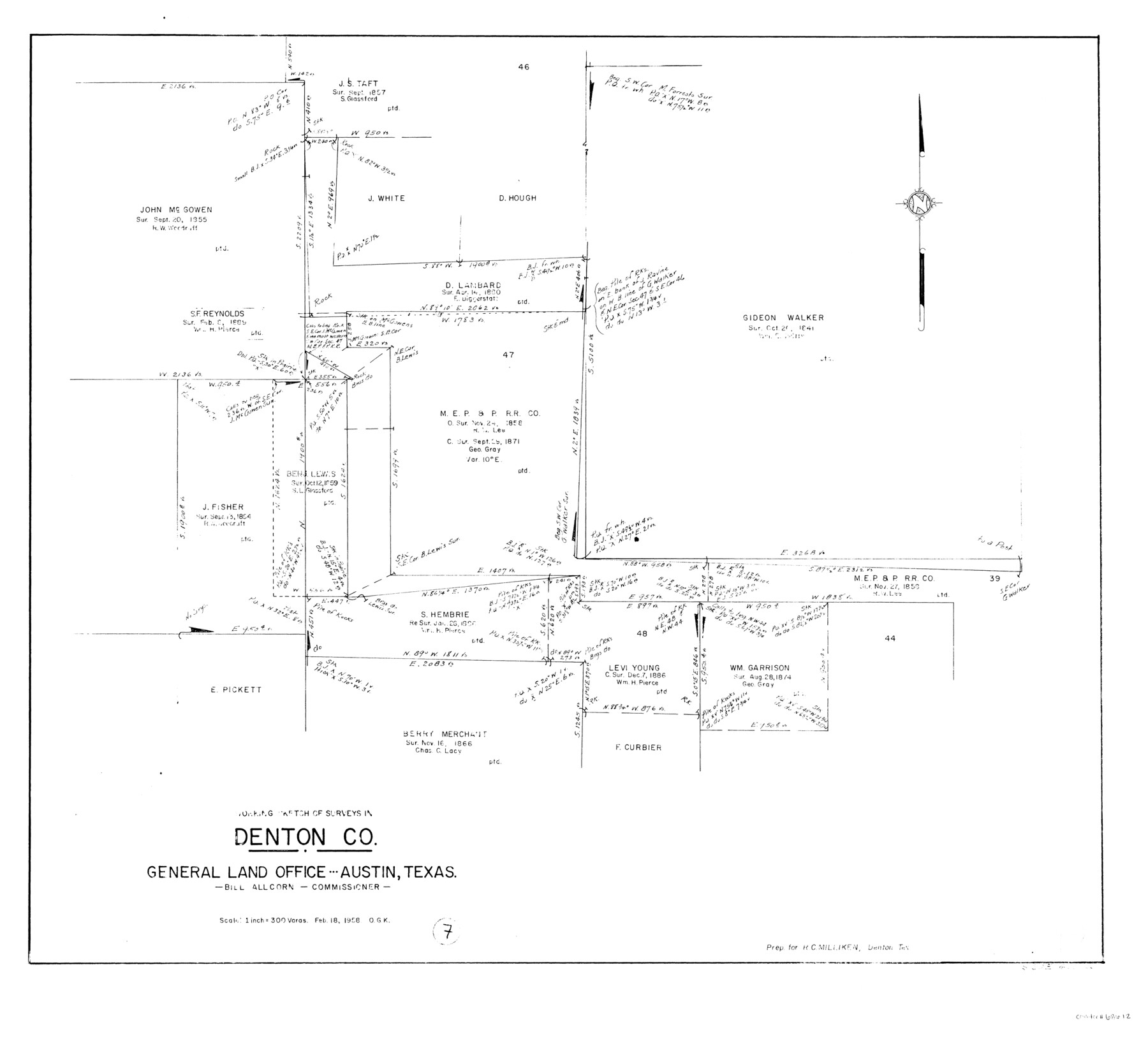
Denton County Working Sketch 7
-
Map/Doc
68612
-
Collection
General Map Collection
-
Object Dates
2/18/1958 (Creation Date)
-
People and Organizations
Otto G. Kurio (Draftsman)
-
Counties
Denton
-
Subjects
Surveying Working Sketch
-
Height x Width
26.0 x 28.8 inches
66.0 x 73.2 cm
-
Scale
1" = 300 varas
Part of: General Map Collection
Dawson County Sketch File B

Print $10.00
- Digital $50.00
Dawson County Sketch File B
1917
Size 11.5 x 8.8 inches
Map/Doc 20465
Dawson County

Print $20.00
- Digital $50.00
Dawson County
1959
Size 42.4 x 34.8 inches
Map/Doc 73127
Bandera County Boundary File 4a

Print $32.00
- Digital $50.00
Bandera County Boundary File 4a
Size 13.3 x 8.7 inches
Map/Doc 50276
Collin County Sketch File 4

Print $4.00
- Digital $50.00
Collin County Sketch File 4
1856
Size 10.0 x 8.0 inches
Map/Doc 18862
Flight Mission No. DIX-6P, Frame 115, Aransas County

Print $20.00
- Digital $50.00
Flight Mission No. DIX-6P, Frame 115, Aransas County
1956
Size 19.3 x 22.8 inches
Map/Doc 83821
Floyd County Sketch File 29

Print $20.00
- Digital $50.00
Floyd County Sketch File 29
Size 17.0 x 16.5 inches
Map/Doc 11488
Galveston County NRC Article 33.136 Sketch 13

Print $20.00
- Digital $50.00
Galveston County NRC Article 33.136 Sketch 13
2002
Size 17.9 x 22.4 inches
Map/Doc 77044
Sabine County Working Sketch 12

Print $20.00
- Digital $50.00
Sabine County Working Sketch 12
1935
Size 39.2 x 45.9 inches
Map/Doc 63683
Flight Mission No. CUI-1H, Frame 141, Milam County

Print $20.00
- Digital $50.00
Flight Mission No. CUI-1H, Frame 141, Milam County
1951
Size 18.4 x 22.3 inches
Map/Doc 86607
Ward County Boundary File 3a

Print $22.00
- Digital $50.00
Ward County Boundary File 3a
Size 13.1 x 8.6 inches
Map/Doc 59684
Webb County Working Sketch 74

Print $20.00
- Digital $50.00
Webb County Working Sketch 74
1975
Size 17.0 x 30.0 inches
Map/Doc 72441
Jasper County Sketch File 36

Print $32.00
- Digital $50.00
Jasper County Sketch File 36
1987
Size 11.2 x 8.6 inches
Map/Doc 27872
You may also like
Hall County Rolled Sketch 8

Print $20.00
- Digital $50.00
Hall County Rolled Sketch 8
1942
Size 24.7 x 41.6 inches
Map/Doc 6052
Lamar County Sketch File 12

Print $20.00
- Digital $50.00
Lamar County Sketch File 12
Size 19.5 x 23.3 inches
Map/Doc 11967
Map of the St. Louis, Iron Mountain and Southern Railway, and connections

Print $20.00
- Digital $50.00
Map of the St. Louis, Iron Mountain and Southern Railway, and connections
1877
Size 13.0 x 18.9 inches
Map/Doc 95783
Bee County Sketch File 4a

Print $4.00
- Digital $50.00
Bee County Sketch File 4a
Size 7.1 x 8.5 inches
Map/Doc 14270
[Sketch for Mineral Application 16700 - Pecos River Bed]
![2808, [Sketch for Mineral Application 16700 - Pecos River Bed], General Map Collection](https://historictexasmaps.com/wmedia_w700/maps/2808.tif.jpg)
Print $20.00
- Digital $50.00
[Sketch for Mineral Application 16700 - Pecos River Bed]
1927
Size 19.9 x 30.9 inches
Map/Doc 2808
Fannin County Working Sketch 2

Print $3.00
- Digital $50.00
Fannin County Working Sketch 2
1911
Size 14.9 x 10.3 inches
Map/Doc 69156
Mapa topográfico de la provincia de Texas

Print $20.00
Mapa topográfico de la provincia de Texas
1822
Size 10.2 x 13.9 inches
Map/Doc 89228
Roswell District, New Mexico

Print $40.00
- Digital $50.00
Roswell District, New Mexico
Size 40.7 x 57.6 inches
Map/Doc 89817
Brazos Island Harbor, Texas - Dredging Entrance Channel Plan

Print $20.00
- Digital $50.00
Brazos Island Harbor, Texas - Dredging Entrance Channel Plan
1990
Size 14.5 x 19.9 inches
Map/Doc 83339
Harris County Rolled Sketch 93

Print $20.00
- Digital $50.00
Harris County Rolled Sketch 93
1983
Size 45.0 x 40.2 inches
Map/Doc 9142
Terrell County Sketch File 13

Print $20.00
- Digital $50.00
Terrell County Sketch File 13
1911
Size 13.7 x 20.4 inches
Map/Doc 12420
Brewster County Rolled Sketch 96

Print $20.00
- Digital $50.00
Brewster County Rolled Sketch 96
1951
Size 21.7 x 33.7 inches
Map/Doc 5253