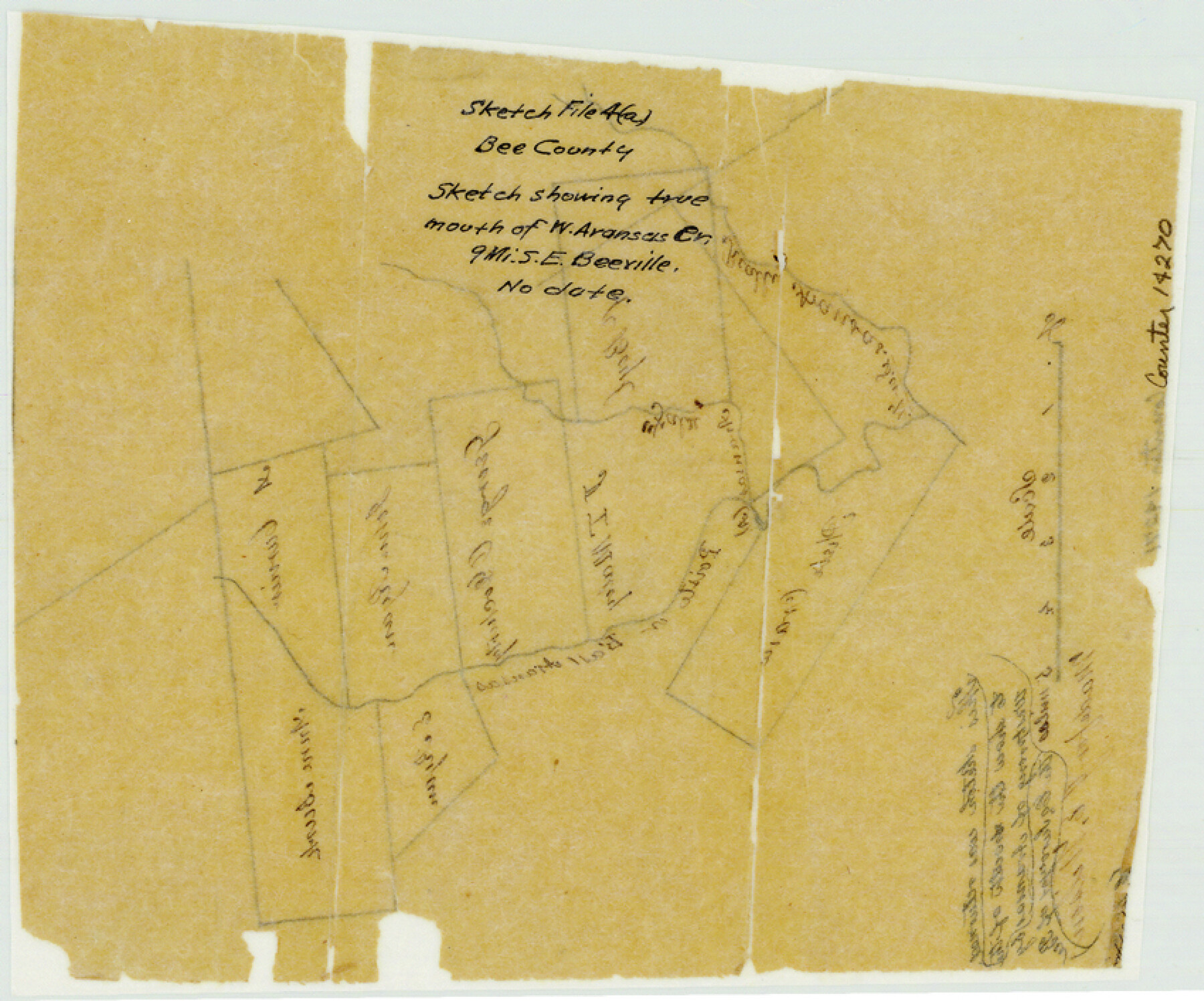
Bee County Sketch File 4a
[Sketch showing true mouth of West Aransas Creek]
-
Map/Doc
14270
-
Collection
General Map Collection
-
Counties
Bee
-
Subjects
Surveying Sketch File
-
Height x Width
7.1 x 8.5 inches
18.0 x 21.6 cm
-
Medium
paper, manuscript
-
Features
Poiste or East Aransas Creek
East Aransas Creek
Poiste Creek
False Aransas Creek
Really Aransas Southwest [Creek]
Part of: General Map Collection
Nueces County Sketch File 25B

Print $20.00
- Digital $50.00
Nueces County Sketch File 25B
1894
Size 17.6 x 24.6 inches
Map/Doc 42183
Zavala County Working Sketch 20

Print $20.00
- Digital $50.00
Zavala County Working Sketch 20
1977
Size 40.0 x 34.5 inches
Map/Doc 62095
Travis County Rolled Sketch 41

Print $20.00
- Digital $50.00
Travis County Rolled Sketch 41
Size 31.3 x 24.7 inches
Map/Doc 8039
G. C. & S. F. Ry., San Saba Branch, Right of Way Map, Brady to Melvin

Print $40.00
- Digital $50.00
G. C. & S. F. Ry., San Saba Branch, Right of Way Map, Brady to Melvin
1916
Size 38.2 x 122.0 inches
Map/Doc 61420
Texas City Channel, Texas, Channel and Turning Basin Dredging - Sheet 1

Print $20.00
- Digital $50.00
Texas City Channel, Texas, Channel and Turning Basin Dredging - Sheet 1
1958
Size 29.3 x 40.8 inches
Map/Doc 61831
Cottle County Sketch File 3

Print $4.00
- Digital $50.00
Cottle County Sketch File 3
Size 10.0 x 8.4 inches
Map/Doc 19457
Val Verde County Sketch File Z16

Print $20.00
- Digital $50.00
Val Verde County Sketch File Z16
1905
Size 21.4 x 20.9 inches
Map/Doc 12557
Austin County Sketch File A

Print $40.00
- Digital $50.00
Austin County Sketch File A
1895
Size 22.3 x 21.1 inches
Map/Doc 10878
[Northern Bexar District]
![1963, [Northern Bexar District], General Map Collection](https://historictexasmaps.com/wmedia_w700/maps/1963-1.tif.jpg)
Print $20.00
- Digital $50.00
[Northern Bexar District]
1852
Size 46.0 x 26.5 inches
Map/Doc 1963
Montgomery County Working Sketch 65

Print $20.00
- Digital $50.00
Montgomery County Working Sketch 65
1965
Size 21.5 x 16.7 inches
Map/Doc 71172
Presidio County Working Sketch 3

Print $20.00
- Digital $50.00
Presidio County Working Sketch 3
1914
Size 21.5 x 15.9 inches
Map/Doc 71677
Runnels County Sketch File 8

Print $40.00
Runnels County Sketch File 8
Size 37.9 x 37.5 inches
Map/Doc 10591
You may also like
Current Miscellaneous File 67

Print $8.00
- Digital $50.00
Current Miscellaneous File 67
1957
Size 11.2 x 8.8 inches
Map/Doc 74130
Edwards County Rolled Sketch 16A

Print $20.00
- Digital $50.00
Edwards County Rolled Sketch 16A
1944
Size 25.0 x 19.0 inches
Map/Doc 5805
Armstrong County Working Sketch 8

Print $20.00
- Digital $50.00
Armstrong County Working Sketch 8
1902
Size 25.4 x 40.2 inches
Map/Doc 67239
Gaines County Sketch File 24

Print $6.00
- Digital $50.00
Gaines County Sketch File 24
1995
Size 8.7 x 3.8 inches
Map/Doc 76362
Blanco County Working Sketch 5

Print $20.00
- Digital $50.00
Blanco County Working Sketch 5
1941
Size 38.3 x 28.4 inches
Map/Doc 67364
General Highway Map, Andrews County, Texas

Print $20.00
General Highway Map, Andrews County, Texas
1961
Size 25.1 x 18.3 inches
Map/Doc 79347
Erath County Working Sketch 24

Print $20.00
- Digital $50.00
Erath County Working Sketch 24
1967
Size 41.5 x 39.3 inches
Map/Doc 69105
Milam County Working Sketch 16

Print $20.00
- Digital $50.00
Milam County Working Sketch 16
Size 30.4 x 36.2 inches
Map/Doc 71028
Llano County Working Sketch 8

Print $20.00
- Digital $50.00
Llano County Working Sketch 8
1978
Size 33.4 x 30.7 inches
Map/Doc 70626
Montague County Sketch File 12

Print $4.00
- Digital $50.00
Montague County Sketch File 12
Size 11.4 x 8.2 inches
Map/Doc 31736
[T&P Land Reserve, Blocks 33, 34 & 35, Tsps. 2, 3, 4, & 5, Dawson & Martin Counties, Texas

Print $20.00
- Digital $50.00
[T&P Land Reserve, Blocks 33, 34 & 35, Tsps. 2, 3, 4, & 5, Dawson & Martin Counties, Texas
1875
Size 29.6 x 34.9 inches
Map/Doc 2223
Topographical Map of the Rio Grande, Sheet No. 29

Print $20.00
- Digital $50.00
Topographical Map of the Rio Grande, Sheet No. 29
1912
Map/Doc 89553