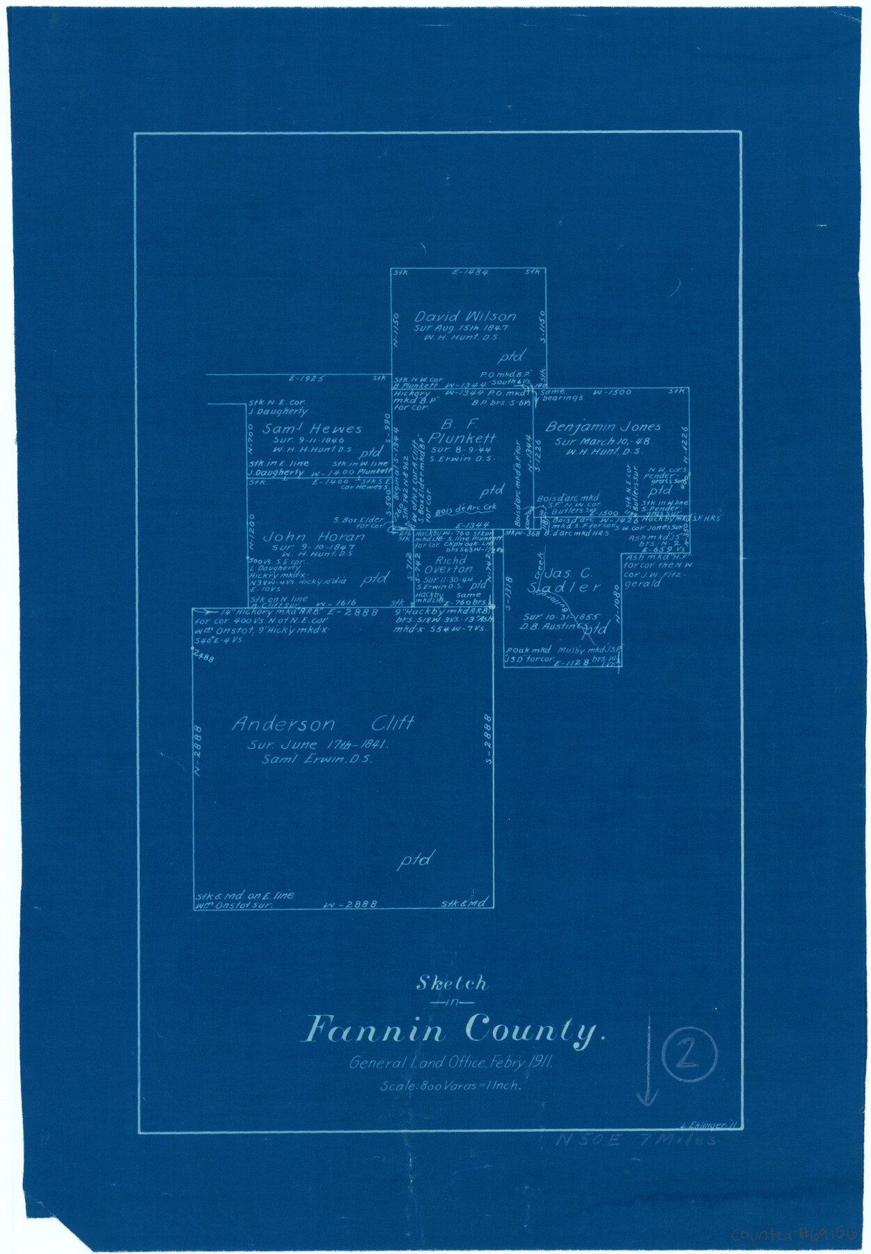
Fannin County Working Sketch 2
-
Map/Doc
69156
-
Collection
General Map Collection
-
Object Dates
2/1911 (Creation Date)
-
People and Organizations
L. Ehlinger (Draftsman)
-
Counties
Fannin
-
Subjects
Surveying Working Sketch
-
Height x Width
14.9 x 10.3 inches
37.9 x 26.2 cm
-
Scale
1" = 800 varas
Part of: General Map Collection
Cottle County

Print $20.00
- Digital $50.00
Cottle County
1971
Size 42.5 x 35.7 inches
Map/Doc 73118
Pecos County Working Sketch 28

Print $20.00
- Digital $50.00
Pecos County Working Sketch 28
1935
Size 27.9 x 29.2 inches
Map/Doc 71500
Runnels County Working Sketch 9

Print $40.00
- Digital $50.00
Runnels County Working Sketch 9
1948
Size 48.8 x 30.1 inches
Map/Doc 69712
Map of Webb County

Print $20.00
- Digital $50.00
Map of Webb County
1895
Size 34.8 x 27.0 inches
Map/Doc 4132
Guadalupe County

Print $20.00
- Digital $50.00
Guadalupe County
1977
Size 35.0 x 45.9 inches
Map/Doc 77297
Flight Mission No. BRA-3M, Frame 199, Jefferson County

Print $20.00
- Digital $50.00
Flight Mission No. BRA-3M, Frame 199, Jefferson County
1953
Size 18.6 x 22.3 inches
Map/Doc 85414
Polk County Working Sketch 31

Print $20.00
- Digital $50.00
Polk County Working Sketch 31
1960
Size 18.2 x 24.4 inches
Map/Doc 71647
El Paso County Sketch File 35 (6)

Print $20.00
- Digital $50.00
El Paso County Sketch File 35 (6)
1886
Size 20.3 x 36.9 inches
Map/Doc 11460
Right of Way and Track Map San Antonio and Aransas Pass Railway Co.

Print $4.00
- Digital $50.00
Right of Way and Track Map San Antonio and Aransas Pass Railway Co.
1919
Size 11.9 x 18.5 inches
Map/Doc 62562
Map of Orange County

Print $20.00
- Digital $50.00
Map of Orange County
1862
Size 13.6 x 16.5 inches
Map/Doc 3929
South Part Brewster Co.

Print $40.00
- Digital $50.00
South Part Brewster Co.
1915
Size 36.0 x 51.2 inches
Map/Doc 66733
Val Verde County Sketch File 28

Print $20.00
- Digital $50.00
Val Verde County Sketch File 28
Size 29.9 x 25.1 inches
Map/Doc 12573
You may also like
Calhoun County Boundary File 14

Print $58.00
- Digital $50.00
Calhoun County Boundary File 14
Size 11.2 x 8.8 inches
Map/Doc 51014

Map of Texas with population and location of principal towns and cities according to latest reliable statistics

Print $20.00
- Digital $50.00
Map of Texas with population and location of principal towns and cities according to latest reliable statistics
1910
Size 19.1 x 20.6 inches
Map/Doc 95878
Brewster County Working Sketch 18

Print $20.00
- Digital $50.00
Brewster County Working Sketch 18
1934
Size 35.9 x 37.8 inches
Map/Doc 67552
Terrell County Working Sketch 31

Print $20.00
- Digital $50.00
Terrell County Working Sketch 31
1945
Size 26.8 x 27.8 inches
Map/Doc 62123
Lubbock County Boundary File 9

Print $55.00
- Digital $50.00
Lubbock County Boundary File 9
Size 17.0 x 11.0 inches
Map/Doc 56530
Flight Mission No. BRA-7M, Frame 8, Jefferson County

Print $20.00
- Digital $50.00
Flight Mission No. BRA-7M, Frame 8, Jefferson County
1953
Size 18.6 x 22.4 inches
Map/Doc 85459
Map of Young County

Print $20.00
- Digital $50.00
Map of Young County
1880
Size 22.0 x 20.3 inches
Map/Doc 4174
Hutchinson County Boundary File 4

Print $17.00
- Digital $50.00
Hutchinson County Boundary File 4
Size 14.3 x 8.7 inches
Map/Doc 55305

San Jacinto County Working Sketch 42b

Print $3.00
- Digital $50.00
San Jacinto County Working Sketch 42b
1979
Size 10.7 x 14.4 inches
Map/Doc 63756
Nueces County Rolled Sketch 109

Print $20.00
- Digital $50.00
Nueces County Rolled Sketch 109
1989
Size 18.8 x 25.0 inches
Map/Doc 7116