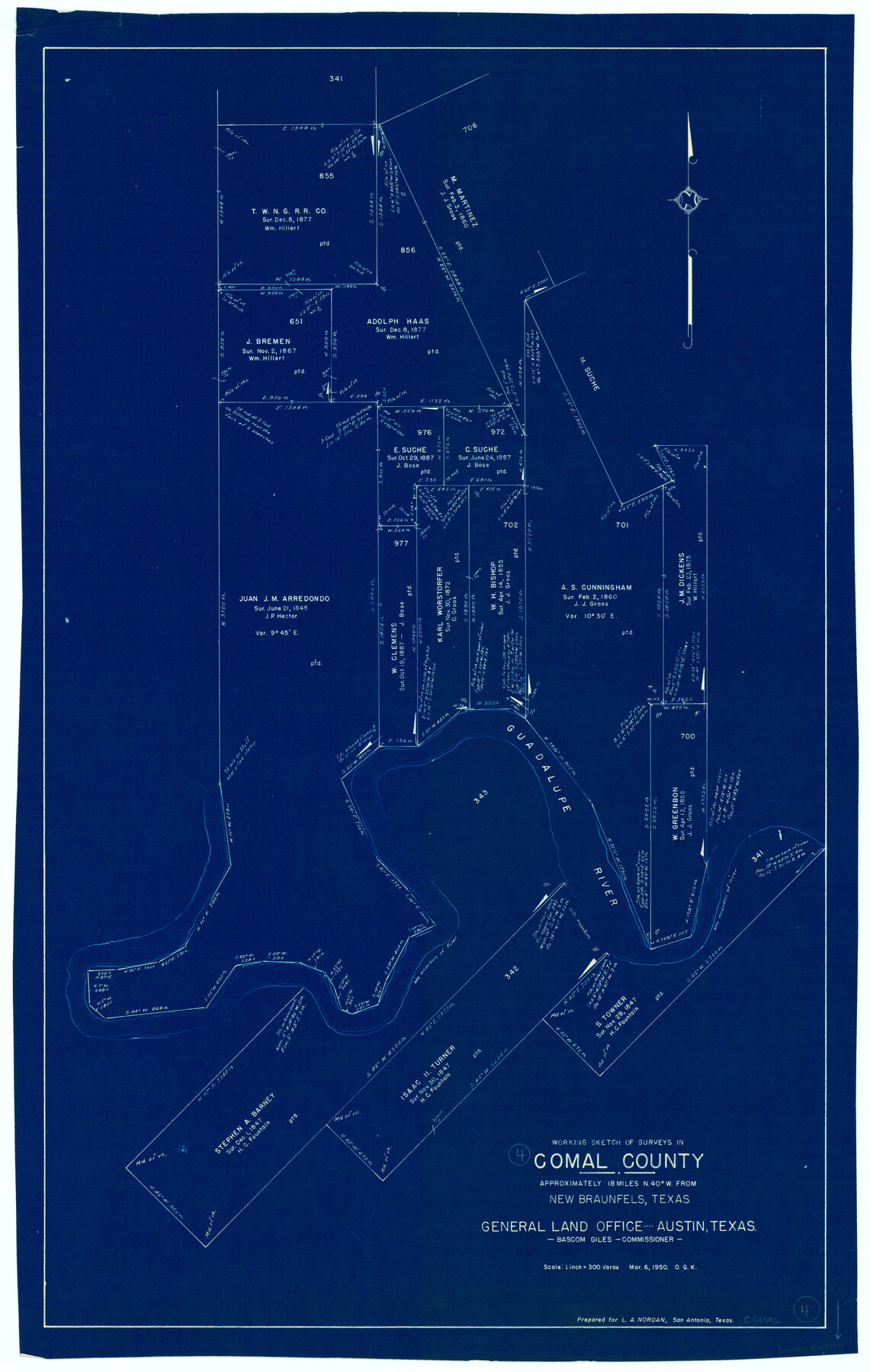
Comal County Working Sketch 4
-
Map/Doc
68170
-
Collection
General Map Collection
-
Object Dates
3/6/1950 (Creation Date)
-
People and Organizations
Otto G. Kurio (Draftsman)
-
Counties
Comal
-
Subjects
Surveying Working Sketch
-
Height x Width
38.3 x 24.3 inches
97.3 x 61.7 cm
-
Scale
1" = 300 varas
Part of: General Map Collection
Houston County Working Sketch 18

Print $20.00
- Digital $50.00
Houston County Working Sketch 18
Size 18.8 x 22.5 inches
Map/Doc 66248
Flight Mission No. DQN-1K, Frame 106, Calhoun County

Print $20.00
- Digital $50.00
Flight Mission No. DQN-1K, Frame 106, Calhoun County
1953
Size 18.8 x 22.3 inches
Map/Doc 84173
Val Verde County Sketch File Z12

Print $4.00
- Digital $50.00
Val Verde County Sketch File Z12
1898
Size 11.4 x 8.8 inches
Map/Doc 39140
Plat of a survey on Padre Island in Cameron County surveyed for South Padre Development Corporation by Claunch and Associates

Print $40.00
- Digital $50.00
Plat of a survey on Padre Island in Cameron County surveyed for South Padre Development Corporation by Claunch and Associates
1970
Size 61.8 x 40.0 inches
Map/Doc 61429
Aransas Pass to Baffin Bay

Print $20.00
- Digital $50.00
Aransas Pass to Baffin Bay
1981
Size 43.0 x 35.0 inches
Map/Doc 73420
Stephens County

Print $20.00
- Digital $50.00
Stephens County
1940
Size 42.9 x 41.0 inches
Map/Doc 63045
Nueces County Sketch File 12b

Print $8.00
- Digital $50.00
Nueces County Sketch File 12b
1889
Size 14.2 x 8.8 inches
Map/Doc 32530
Comanche County Working Sketch Graphic Index

Print $20.00
- Digital $50.00
Comanche County Working Sketch Graphic Index
1944
Size 41.5 x 46.2 inches
Map/Doc 76502
Brewster County Rolled Sketch 60

Print $40.00
- Digital $50.00
Brewster County Rolled Sketch 60
Size 37.1 x 68.9 inches
Map/Doc 8485
Typus Orbis Terrarum

Print $20.00
- Digital $50.00
Typus Orbis Terrarum
Size 15.2 x 20.8 inches
Map/Doc 96579
Liberty County Sketch File 30

Print $6.00
- Digital $50.00
Liberty County Sketch File 30
Size 10.5 x 11.3 inches
Map/Doc 29957
Van Zandt County Sketch File 36

Print $4.00
- Digital $50.00
Van Zandt County Sketch File 36
1864
Size 8.0 x 10.4 inches
Map/Doc 39478
You may also like
Chart of soundings through the different channels in Aransas and Matagorda Bays as taken in 1855 by Capt. R. B. Marey, U. S. A. [Inset: Harbour of Lamar and Live-Oak Pt.]
![72977, Chart of soundings through the different channels in Aransas and Matagorda Bays as taken in 1855 by Capt. R. B. Marey, U. S. A. [Inset: Harbour of Lamar and Live-Oak Pt.], General Map Collection](https://historictexasmaps.com/wmedia_w700/maps/72977.tif.jpg)
Print $20.00
- Digital $50.00
Chart of soundings through the different channels in Aransas and Matagorda Bays as taken in 1855 by Capt. R. B. Marey, U. S. A. [Inset: Harbour of Lamar and Live-Oak Pt.]
Size 28.1 x 18.2 inches
Map/Doc 72977
El Paso County Working Sketch 30

Print $40.00
- Digital $50.00
El Paso County Working Sketch 30
1967
Size 32.0 x 65.8 inches
Map/Doc 69052
Map of Cooke County originally Fannin Land District

Print $20.00
- Digital $50.00
Map of Cooke County originally Fannin Land District
1858
Size 25.4 x 18.9 inches
Map/Doc 950
Calhoun County NRC Article 33.136 Location Key Sheet

Print $20.00
- Digital $50.00
Calhoun County NRC Article 33.136 Location Key Sheet
1995
Size 27.0 x 22.0 inches
Map/Doc 77011
Galveston, Harrisburg & San Antonio Railway, Map of Eagle Pass Branch

Print $20.00
- Digital $50.00
Galveston, Harrisburg & San Antonio Railway, Map of Eagle Pass Branch
1888
Size 42.7 x 25.8 inches
Map/Doc 64462
[Right of Way Map, Belton Branch of the M.K.&T. RR.]
![64221, [Right of Way Map, Belton Branch of the M.K.&T. RR.], General Map Collection](https://historictexasmaps.com/wmedia_w700/maps/64221.tif.jpg)
Print $20.00
- Digital $50.00
[Right of Way Map, Belton Branch of the M.K.&T. RR.]
1896
Size 22.0 x 7.1 inches
Map/Doc 64221
Flight Mission No. BRA-7M, Frame 28, Jefferson County

Print $20.00
- Digital $50.00
Flight Mission No. BRA-7M, Frame 28, Jefferson County
1953
Size 18.5 x 22.4 inches
Map/Doc 85479
Milam County Rolled Sketch 3A

Print $40.00
- Digital $50.00
Milam County Rolled Sketch 3A
1967
Size 49.5 x 43.3 inches
Map/Doc 9522
Schleicher County Rolled Sketch 7

Print $20.00
- Digital $50.00
Schleicher County Rolled Sketch 7
Size 32.5 x 37.9 inches
Map/Doc 9904
Zavala County Sketch File 48

Print $6.00
- Digital $50.00
Zavala County Sketch File 48
1942
Size 11.4 x 9.0 inches
Map/Doc 41438
Jeff Davis County Working Sketch 7

Print $20.00
- Digital $50.00
Jeff Davis County Working Sketch 7
1938
Size 30.4 x 39.9 inches
Map/Doc 66502
Brazoria County Working Sketch 47

Print $40.00
- Digital $50.00
Brazoria County Working Sketch 47
1988
Size 35.3 x 59.9 inches
Map/Doc 67532