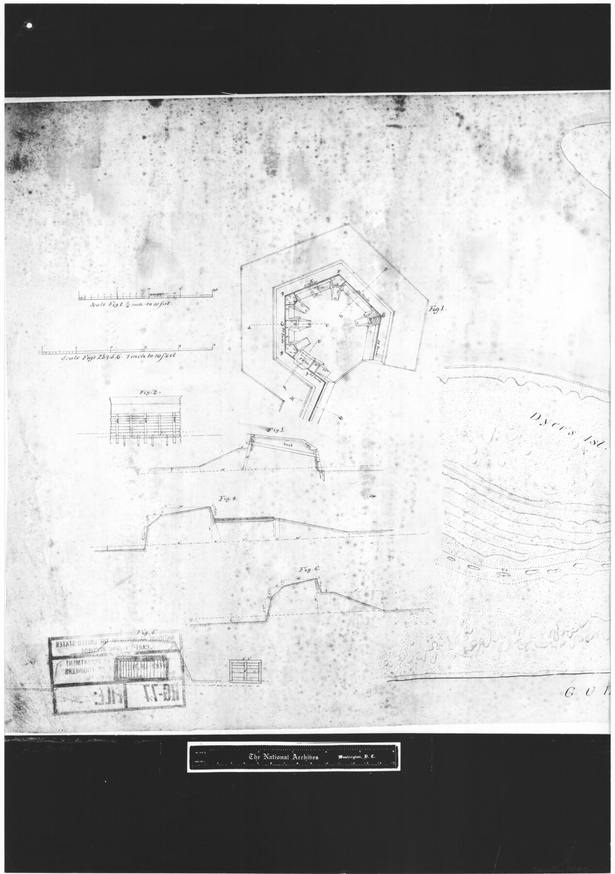
North end of Brazos Island
RL-3-10b
-
Map/Doc
72917
-
Collection
General Map Collection
-
People and Organizations
Office of Chief Engineer, Dept. of Gulf (Author)
-
Subjects
Gulf of Mexico
-
Height x Width
25.9 x 18.2 inches
65.8 x 46.2 cm
-
Comments
B/W photostat copy from National Archives in multiple pieces.
Part of: General Map Collection
Lavaca County Working Sketch 22

Print $20.00
- Digital $50.00
Lavaca County Working Sketch 22
1983
Size 39.6 x 36.4 inches
Map/Doc 70375
Current Miscellaneous File 3

Print $34.00
- Digital $50.00
Current Miscellaneous File 3
1947
Size 9.0 x 6.2 inches
Map/Doc 73706
Flight Mission No. DAG-23K, Frame 58, Matagorda County

Print $20.00
- Digital $50.00
Flight Mission No. DAG-23K, Frame 58, Matagorda County
1953
Size 18.4 x 22.3 inches
Map/Doc 86485
Kent County Working Sketch 6

Print $20.00
- Digital $50.00
Kent County Working Sketch 6
1952
Size 27.4 x 23.8 inches
Map/Doc 70013
Flight Mission No. BQY-4M, Frame 123, Harris County

Print $20.00
- Digital $50.00
Flight Mission No. BQY-4M, Frame 123, Harris County
1953
Size 18.7 x 22.4 inches
Map/Doc 85291
Val Verde County Sketch File XXX9

Print $4.00
- Digital $50.00
Val Verde County Sketch File XXX9
Size 11.0 x 8.5 inches
Map/Doc 39108

Crockett County

Print $40.00
- Digital $50.00
Crockett County
1882
Size 57.6 x 31.6 inches
Map/Doc 88865
Brazos River, Sandpit Extension Sheet

Print $20.00
- Digital $50.00
Brazos River, Sandpit Extension Sheet
1926
Size 31.3 x 36.5 inches
Map/Doc 69663

J No. 5 - Reconnaissance of San Pedro Harbor, California

Print $20.00
- Digital $50.00
J No. 5 - Reconnaissance of San Pedro Harbor, California
1852
Size 12.3 x 15.5 inches
Map/Doc 97232
[Galveston, Harrisburg & San Antonio Railroad from Cuero to Stockdale]
![64188, [Galveston, Harrisburg & San Antonio Railroad from Cuero to Stockdale], General Map Collection](https://historictexasmaps.com/wmedia_w700/maps/64188.tif.jpg)
Print $20.00
- Digital $50.00
[Galveston, Harrisburg & San Antonio Railroad from Cuero to Stockdale]
1907
Size 13.8 x 34.0 inches
Map/Doc 64188
You may also like
Colorado County Sketch File 29

Print $6.00
- Digital $50.00
Colorado County Sketch File 29
1842
Size 11.2 x 9.0 inches
Map/Doc 18974
Map of Eagle Lake

Print $20.00
- Digital $50.00
Map of Eagle Lake
1938
Size 13.0 x 17.0 inches
Map/Doc 2208
Cameron County Rolled Sketch 10

Print $20.00
- Digital $50.00
Cameron County Rolled Sketch 10
Size 38.5 x 44.5 inches
Map/Doc 8566
The Fisher-Miller Colony. September 1, 1843

Print $20.00
The Fisher-Miller Colony. September 1, 1843
2020
Size 13.8 x 21.7 inches
Map/Doc 96359
Uvalde County Sketch File 15

Print $6.00
- Digital $50.00
Uvalde County Sketch File 15
1849
Size 8.8 x 11.5 inches
Map/Doc 38985
Flight Mission No. CLL-1N, Frame 21, Willacy County

Print $20.00
- Digital $50.00
Flight Mission No. CLL-1N, Frame 21, Willacy County
1954
Size 18.7 x 22.3 inches
Map/Doc 87008
Nueces County Sketch File 63

Print $4.00
- Digital $50.00
Nueces County Sketch File 63
1978
Size 14.2 x 8.5 inches
Map/Doc 32973
Polk County Sketch File 19

Print $4.00
- Digital $50.00
Polk County Sketch File 19
1863
Size 8.2 x 12.7 inches
Map/Doc 34165
Presidio County Working Sketch 55

Print $20.00
- Digital $50.00
Presidio County Working Sketch 55
1955
Size 22.0 x 16.9 inches
Map/Doc 71732
Stonewall County

Print $20.00
- Digital $50.00
Stonewall County
1933
Size 47.6 x 39.5 inches
Map/Doc 73295
Garza County Sketch File D

Print $20.00
- Digital $50.00
Garza County Sketch File D
1901
Size 18.4 x 12.2 inches
Map/Doc 11550
Map of Eastland Co[unty]
![88929, Map of Eastland Co[unty], Library of Congress](https://historictexasmaps.com/wmedia_w700/maps/88929.tif.jpg)
Print $20.00
Map of Eastland Co[unty]
1896
Size 45.0 x 42.8 inches
Map/Doc 88929