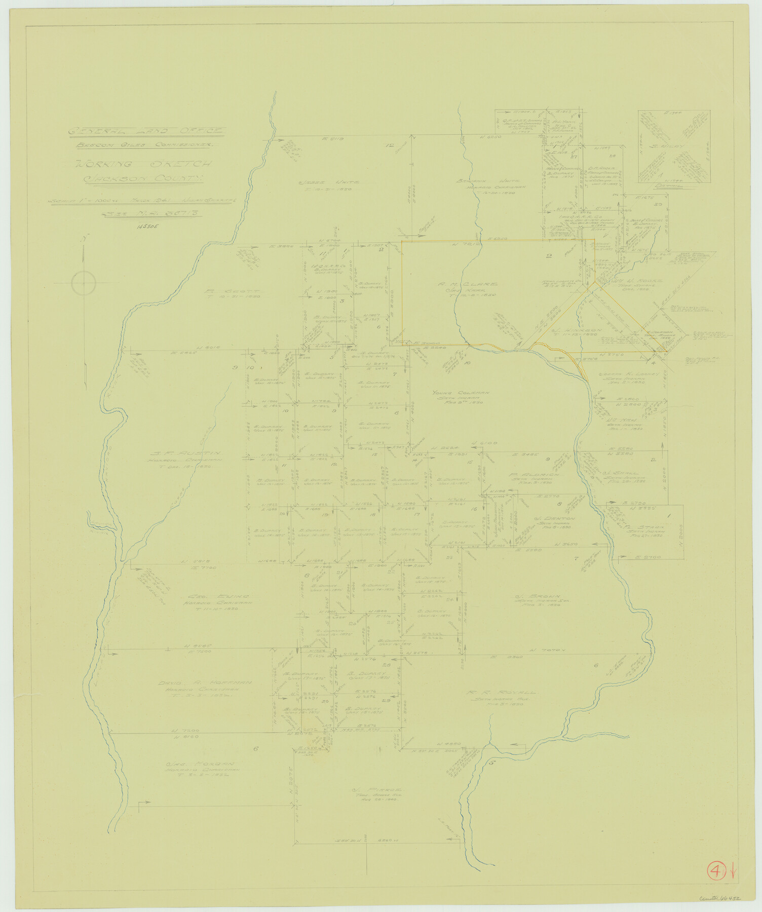
Jackson County Working Sketch 4
-
Map/Doc
66452
-
Collection
General Map Collection
-
Object Dates
3/1941 (Creation Date)
-
People and Organizations
William Shirriffs (Draftsman)
-
Counties
Jackson
-
Subjects
Surveying Working Sketch
-
Height x Width
34.1 x 28.5 inches
86.6 x 72.4 cm
-
Scale
1" = 1000 varas
Part of: General Map Collection
Stephens County Sketch File 8

Print $40.00
- Digital $50.00
Stephens County Sketch File 8
1879
Size 13.5 x 14.2 inches
Map/Doc 37027
Eastland County Working Sketch 31

Print $20.00
- Digital $50.00
Eastland County Working Sketch 31
1955
Size 33.9 x 33.9 inches
Map/Doc 68812
Pecos County Sketch File 28

Print $20.00
- Digital $50.00
Pecos County Sketch File 28
1927
Size 23.4 x 21.6 inches
Map/Doc 12168
Flight Mission No. CRK-8P, Frame 120, Refugio County

Print $20.00
- Digital $50.00
Flight Mission No. CRK-8P, Frame 120, Refugio County
1956
Size 18.4 x 22.1 inches
Map/Doc 86975
Brewster County Rolled Sketch 114

Print $20.00
- Digital $50.00
Brewster County Rolled Sketch 114
1964
Size 12.0 x 17.5 inches
Map/Doc 5291
San Patricio County Sketch File 15

Print $24.00
San Patricio County Sketch File 15
1879
Size 9.0 x 7.6 inches
Map/Doc 36051
Maps & Lists Showing Prison Lands (Oil & Gas) Leased as of June 1955

Digital $50.00
Maps & Lists Showing Prison Lands (Oil & Gas) Leased as of June 1955
Size 11.2 x 8.8 inches
Map/Doc 62874
Montgomery County Rolled Sketch 38

Print $40.00
- Digital $50.00
Montgomery County Rolled Sketch 38
1962
Size 56.0 x 30.8 inches
Map/Doc 9545
Sutton County Rolled Sketch 70

Print $40.00
- Digital $50.00
Sutton County Rolled Sketch 70
Size 48.7 x 37.0 inches
Map/Doc 9982
Missouri, Kansas & Texas Railway in Morris County

Print $20.00
- Digital $50.00
Missouri, Kansas & Texas Railway in Morris County
1906
Size 14.9 x 36.2 inches
Map/Doc 64274
Sutton County Rolled Sketch 36

Print $20.00
- Digital $50.00
Sutton County Rolled Sketch 36
1887
Size 27.3 x 33.4 inches
Map/Doc 7880

You may also like
Panola County Working Sketch 24

Print $20.00
- Digital $50.00
Panola County Working Sketch 24
1957
Map/Doc 71433
Sulphur River, Terry Lake Sheet

Print $20.00
- Digital $50.00
Sulphur River, Terry Lake Sheet
1919
Size 28.6 x 30.9 inches
Map/Doc 65161
Wood County Boundary File 1

Print $4.00
- Digital $50.00
Wood County Boundary File 1
Size 12.6 x 8.1 inches
Map/Doc 60154
Bexar County Boundary File 2a

Print $12.00
- Digital $50.00
Bexar County Boundary File 2a
Size 10.0 x 8.1 inches
Map/Doc 50530
Calhoun County Rolled Sketch 34

Print $181.00
- Digital $50.00
Calhoun County Rolled Sketch 34
1977
Size 10.0 x 16.2 inches
Map/Doc 43714
From Citizens Living Between the Brazos and Trinity Rivers and Below the Old San Antonio Road in Montgomery and Washington Counties for the Creation of a New County to be Called Travis, Undated

Print $20.00
From Citizens Living Between the Brazos and Trinity Rivers and Below the Old San Antonio Road in Montgomery and Washington Counties for the Creation of a New County to be Called Travis, Undated
2020
Size 21.2 x 21.7 inches
Map/Doc 96401
Trinity County

Print $20.00
- Digital $50.00
Trinity County
1946
Size 42.5 x 42.8 inches
Map/Doc 73306
Orange County Working Sketch Graphic Index - sheet B

Print $20.00
- Digital $50.00
Orange County Working Sketch Graphic Index - sheet B
1921
Size 25.2 x 30.2 inches
Map/Doc 88744
Jefferson County Rolled Sketch 5

Print $20.00
- Digital $50.00
Jefferson County Rolled Sketch 5
1913
Size 47.0 x 40.7 inches
Map/Doc 9270
Harris County Working Sketch 73

Print $20.00
- Digital $50.00
Harris County Working Sketch 73
1959
Size 33.5 x 38.1 inches
Map/Doc 65965
Flight Mission No. CRC-3R, Frame 20, Chambers County

Print $20.00
- Digital $50.00
Flight Mission No. CRC-3R, Frame 20, Chambers County
1956
Size 18.6 x 22.2 inches
Map/Doc 84794
Map of surveys 189 & 190, T. C. R.R. Co. in Travis County, Texas

Print $20.00
- Digital $50.00
Map of surveys 189 & 190, T. C. R.R. Co. in Travis County, Texas
1915
Size 18.5 x 25.0 inches
Map/Doc 75761