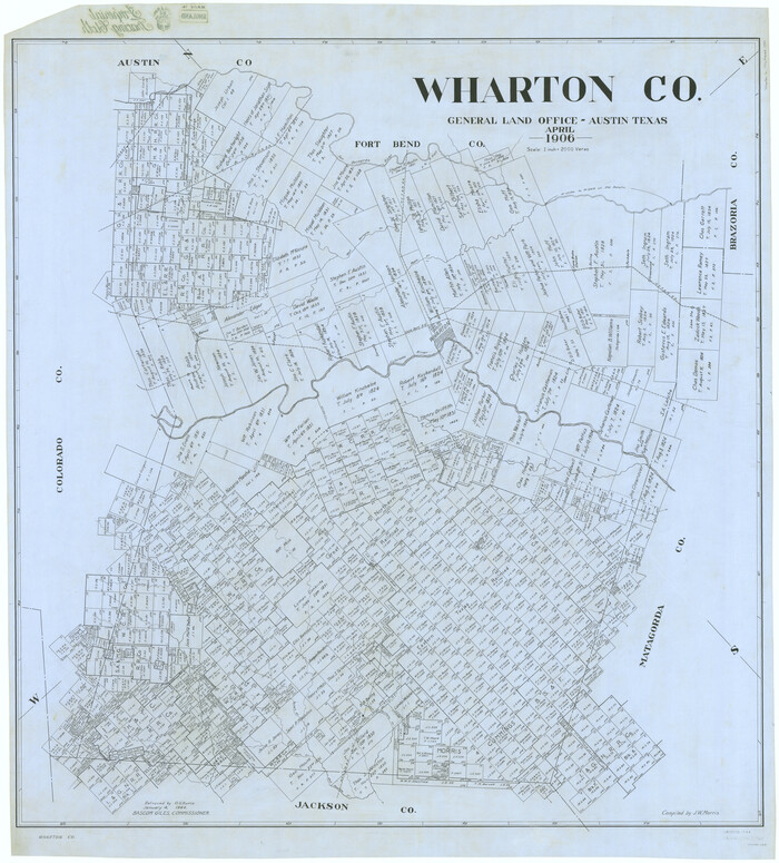
Calhoun County Rolled Sketch 34
Aerial photographs of south end of Matagorda Island - 1977 Flight, Tobin Surveys, Inc.
-
Map/Doc
43714
-
Collection
General Map Collection
-
Object Dates
1977 (Creation Date)
1980/9/2 (File Date)
-
Counties
Calhoun
-
Subjects
Surveying Rolled Sketch
-
Height x Width
10.0 x 16.2 inches
25.4 x 41.1 cm
-
Medium
photograph
Part of: General Map Collection
Brewster County Rolled Sketch RSH
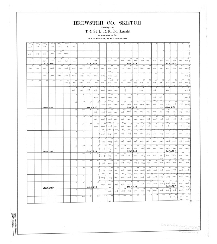

Print $20.00
- Digital $50.00
Brewster County Rolled Sketch RSH
Size 31.9 x 28.3 inches
Map/Doc 5324
Flight Mission No. DCL-6C, Frame 127, Kenedy County


Print $20.00
- Digital $50.00
Flight Mission No. DCL-6C, Frame 127, Kenedy County
1943
Size 18.5 x 22.3 inches
Map/Doc 85957
Harris County NRC Article 33.136 Sketch 3
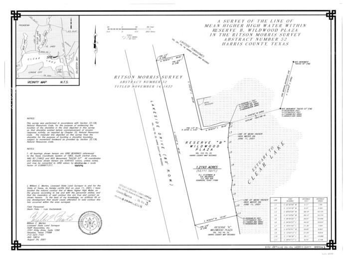

Print $26.00
- Digital $50.00
Harris County NRC Article 33.136 Sketch 3
2001
Size 18.6 x 24.8 inches
Map/Doc 61597
Liberty County Sketch File AX


Print $10.00
- Digital $50.00
Liberty County Sketch File AX
1899
Size 14.1 x 8.5 inches
Map/Doc 30061
Throckmorton County Sketch File 6a


Print $20.00
- Digital $50.00
Throckmorton County Sketch File 6a
1897
Size 14.5 x 12.7 inches
Map/Doc 38089
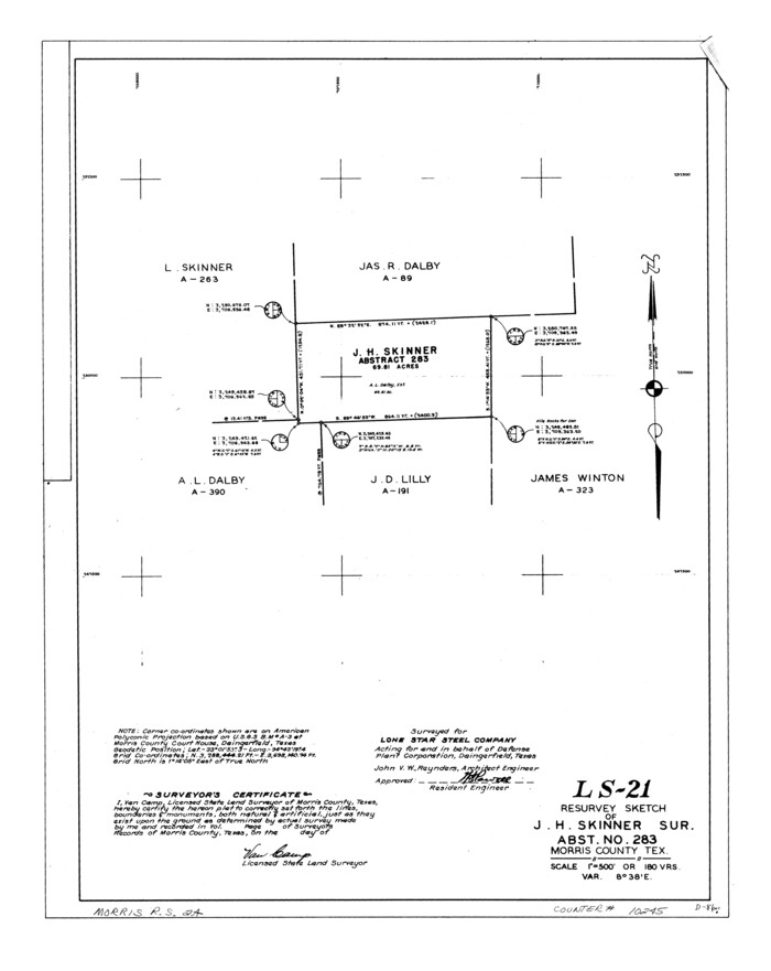
Morris County Rolled Sketch 2A

Print $20.00
- Digital $50.00
Morris County Rolled Sketch 2A
Size 24.4 x 19.4 inches
Map/Doc 10245
Nueces County Sketch File 55


Print $16.00
- Digital $50.00
Nueces County Sketch File 55
1999
Size 11.3 x 8.8 inches
Map/Doc 32867
Cottle County Rolled Sketch 15


Print $20.00
- Digital $50.00
Cottle County Rolled Sketch 15
2004
Size 37.2 x 37.2 inches
Map/Doc 82849
Edwards County Working Sketch 35


Print $20.00
- Digital $50.00
Edwards County Working Sketch 35
1948
Size 20.9 x 31.1 inches
Map/Doc 68911
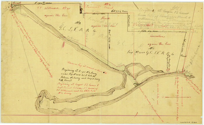
Aransas County Sketch File 21b

Print $4.00
- Digital $50.00
Aransas County Sketch File 21b
Size 8.7 x 14.2 inches
Map/Doc 13160
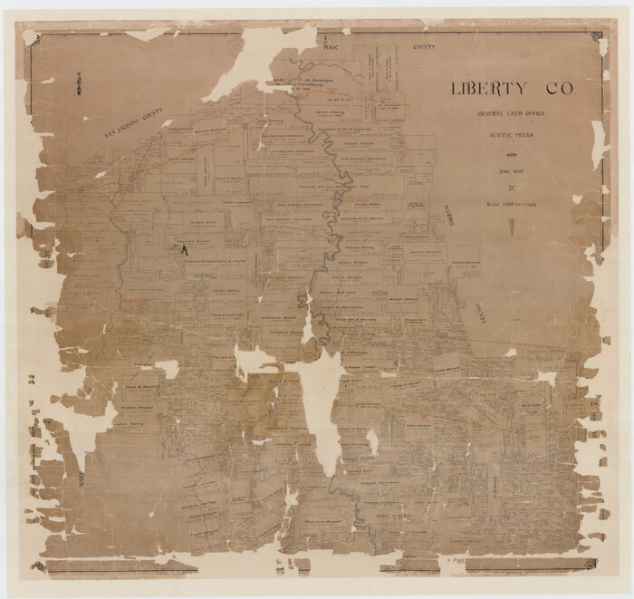
Liberty County

Print $40.00
- Digital $50.00
Liberty County
1926
Size 49.6 x 52.5 inches
Map/Doc 16879
You may also like
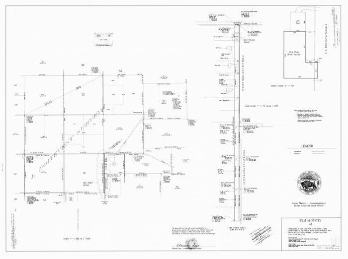
Duval County Rolled Sketch 47

Print $40.00
- Digital $50.00
Duval County Rolled Sketch 47
1991
Size 35.4 x 48.0 inches
Map/Doc 8824
Rio Grande, Willamar Sheet


Print $20.00
- Digital $50.00
Rio Grande, Willamar Sheet
1937
Size 36.9 x 37.2 inches
Map/Doc 65111
Milam County Sketch File 1
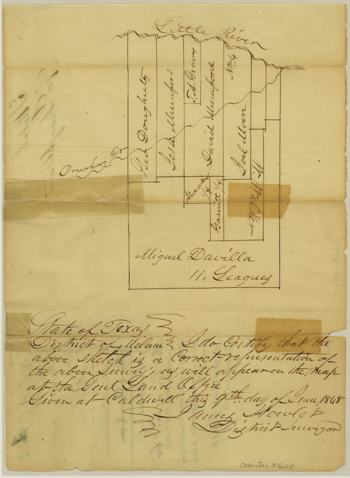

Print $4.00
- Digital $50.00
Milam County Sketch File 1
1848
Size 10.7 x 7.8 inches
Map/Doc 31624
Dallam County Sketch File 6


Print $60.00
- Digital $50.00
Dallam County Sketch File 6
Size 12.4 x 17.0 inches
Map/Doc 20350
Sketch of a reconnaissance of Aransas and Corpus Christi Bays
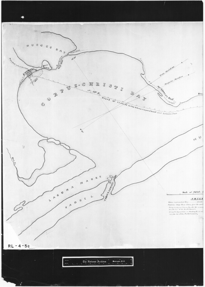

Print $20.00
- Digital $50.00
Sketch of a reconnaissance of Aransas and Corpus Christi Bays
1855
Size 25.5 x 18.2 inches
Map/Doc 72968
Red River County Sketch File 1a
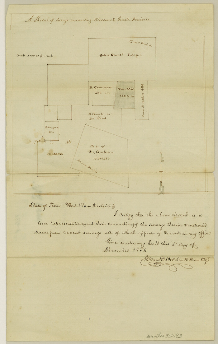

Print $4.00
- Digital $50.00
Red River County Sketch File 1a
1854
Size 12.7 x 8.0 inches
Map/Doc 35093
La Salle County Boundary File 57
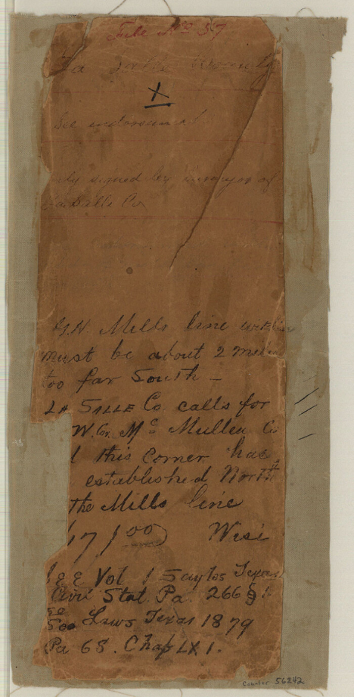

Print $26.00
- Digital $50.00
La Salle County Boundary File 57
Size 9.2 x 4.7 inches
Map/Doc 56242
[Texas Panhandle North Boundary Line]
![1714, [Texas Panhandle North Boundary Line], General Map Collection](https://historictexasmaps.com/wmedia_w700/maps/1714.tif.jpg)
![1714, [Texas Panhandle North Boundary Line], General Map Collection](https://historictexasmaps.com/wmedia_w700/maps/1714.tif.jpg)
Print $20.00
- Digital $50.00
[Texas Panhandle North Boundary Line]
1898
Size 43.6 x 11.4 inches
Map/Doc 1714
Brewster County Sketch File N-19
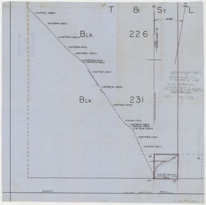

Print $40.00
- Digital $50.00
Brewster County Sketch File N-19
1946
Size 18.7 x 26.2 inches
Map/Doc 10966
The Coast & Bays of Western Texas, St. Joseph's and Mustang Islands from actual survey, the remainder from county maps, etc.
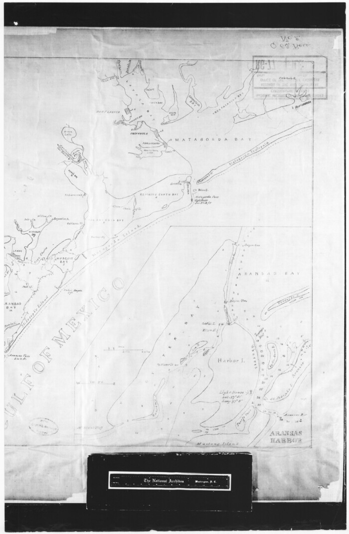

Print $20.00
- Digital $50.00
The Coast & Bays of Western Texas, St. Joseph's and Mustang Islands from actual survey, the remainder from county maps, etc.
1857
Size 28.0 x 18.3 inches
Map/Doc 72767
Portion of States Submerged Area in Matagorda Bay
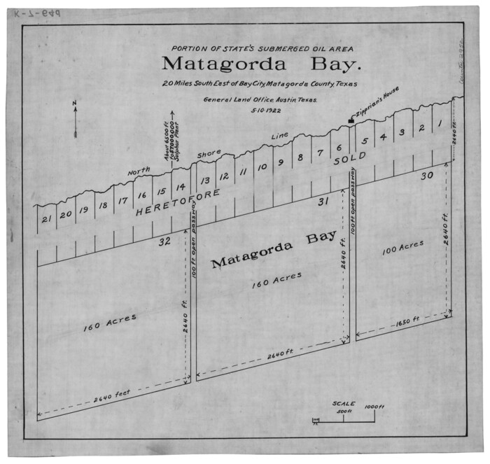

Print $20.00
- Digital $50.00
Portion of States Submerged Area in Matagorda Bay
1922
Size 13.9 x 14.7 inches
Map/Doc 2952
Liberty County Sketch File 10
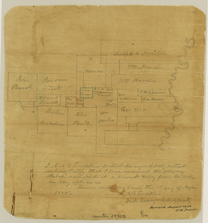

Print $4.00
- Digital $50.00
Liberty County Sketch File 10
1858
Size 9.5 x 8.9 inches
Map/Doc 29903
