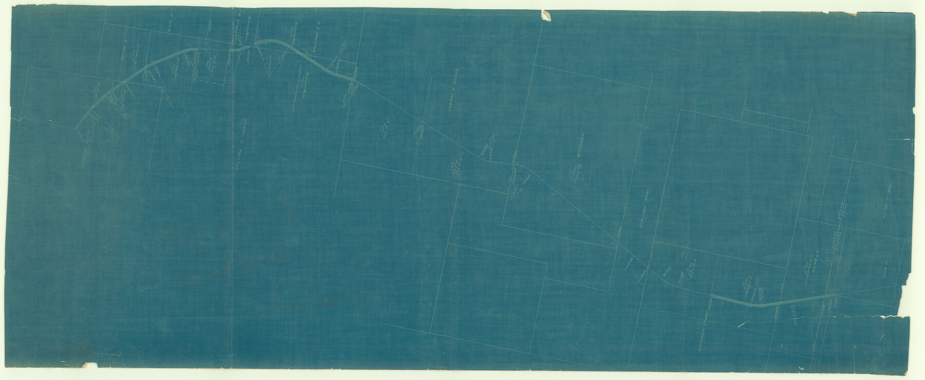
Missouri, Kansas & Texas Railway in Morris County
Z-2-69
-
Map/Doc
64274
-
Collection
General Map Collection
-
Object Dates
1906 (Creation Date)
-
Counties
Morris Titus
-
Subjects
Railroads
-
Height x Width
14.9 x 36.2 inches
37.8 x 91.9 cm
-
Medium
blueprint/diazo
-
Scale
1000' = 1"
-
Comments
East Line and Red River Rail Road. See counter no. 64274 for sheet 2.
-
Features
MK&T
Daingerfield
Cason
Part of: General Map Collection
Floyd County Boundary File 4b
![53498, Floyd County Boundary File 4b, General Map Collection](https://historictexasmaps.com/wmedia_w700/pdf_converted_jpg/qi_pdf_thumbnail_16036.jpg)
Print $40.00
- Digital $50.00
Floyd County Boundary File 4b
Size 11.9 x 24.8 inches
Map/Doc 53498
Lampasas County Sketch File 22
![93653, Lampasas County Sketch File 22, General Map Collection](https://historictexasmaps.com/wmedia_w700/pdf_converted_jpg/qi_pdf_thumbnail_38360.jpg)
Print $2.00
- Digital $50.00
Lampasas County Sketch File 22
2007
Size 14.0 x 8.5 inches
Map/Doc 93653
Presidio County Working Sketch 44
![71721, Presidio County Working Sketch 44, General Map Collection](https://historictexasmaps.com/wmedia_w700/maps/71721.tif.jpg)
Print $20.00
- Digital $50.00
Presidio County Working Sketch 44
Size 29.8 x 20.6 inches
Map/Doc 71721
Cochran County Working Sketch Graphic Index
![76495, Cochran County Working Sketch Graphic Index, General Map Collection](https://historictexasmaps.com/wmedia_w700/maps/76495.tif.jpg)
Print $20.00
- Digital $50.00
Cochran County Working Sketch Graphic Index
1946
Size 31.9 x 23.9 inches
Map/Doc 76495
Ellis County Working Sketch 4
![69020, Ellis County Working Sketch 4, General Map Collection](https://historictexasmaps.com/wmedia_w700/maps/69020.tif.jpg)
Print $40.00
- Digital $50.00
Ellis County Working Sketch 4
Size 48.0 x 30.3 inches
Map/Doc 69020
Montgomery County Working Sketch 75
![71182, Montgomery County Working Sketch 75, General Map Collection](https://historictexasmaps.com/wmedia_w700/maps/71182.tif.jpg)
Print $40.00
- Digital $50.00
Montgomery County Working Sketch 75
Size 30.9 x 82.8 inches
Map/Doc 71182
Hardin County Sketch File 62
![11637, Hardin County Sketch File 62, General Map Collection](https://historictexasmaps.com/wmedia_w700/pdf_converted_jpg/qi_pdf_thumbnail_8072.jpg)
Print $20.00
- Digital $50.00
Hardin County Sketch File 62
Size 19.9 x 26.2 inches
Map/Doc 11637
Andrews County Rolled Sketch 11
![77161, Andrews County Rolled Sketch 11, General Map Collection](https://historictexasmaps.com/wmedia_w700/maps/77161.tif.jpg)
Print $20.00
- Digital $50.00
Andrews County Rolled Sketch 11
1933
Size 28.0 x 37.7 inches
Map/Doc 77161
Liberty County Working Sketch 36
![70495, Liberty County Working Sketch 36, General Map Collection](https://historictexasmaps.com/wmedia_w700/maps/70495.tif.jpg)
Print $20.00
- Digital $50.00
Liberty County Working Sketch 36
Size 24.3 x 25.0 inches
Map/Doc 70495
South Part of Brewster Co.
![66736, South Part of Brewster Co., General Map Collection](https://historictexasmaps.com/wmedia_w700/maps/66736.tif.jpg)
Print $40.00
- Digital $50.00
South Part of Brewster Co.
1955
Size 48.8 x 40.0 inches
Map/Doc 66736
Outer Continental Shelf Leasing Maps (Louisiana Offshore Operations)
![76098, Outer Continental Shelf Leasing Maps (Louisiana Offshore Operations), General Map Collection](https://historictexasmaps.com/wmedia_w700/maps/76098.tif.jpg)
Print $20.00
- Digital $50.00
Outer Continental Shelf Leasing Maps (Louisiana Offshore Operations)
1954
Size 20.4 x 13.1 inches
Map/Doc 76098
You may also like
Flight Mission No. BRE-2P, Frame 45, Nueces County
![86747, Flight Mission No. BRE-2P, Frame 45, Nueces County, General Map Collection](https://historictexasmaps.com/wmedia_w700/pdf_converted_jpg/qi_pdf_thumbnail_33885.jpg)
Print $20.00
- Digital $50.00
Flight Mission No. BRE-2P, Frame 45, Nueces County
1956
Size 18.6 x 22.6 inches
Map/Doc 86747
Township 4 South Ranges 12 and 13 West, South Western District, Louisiana
![65884, Township 4 South Ranges 12 and 13 West, South Western District, Louisiana, General Map Collection](https://historictexasmaps.com/wmedia_w700/maps/65884.tif.jpg)
Print $20.00
- Digital $50.00
Township 4 South Ranges 12 and 13 West, South Western District, Louisiana
1879
Size 19.6 x 24.7 inches
Map/Doc 65884
Kerr County Working Sketch 18
![70049, Kerr County Working Sketch 18, General Map Collection](https://historictexasmaps.com/wmedia_w700/maps/70049.tif.jpg)
Print $20.00
- Digital $50.00
Kerr County Working Sketch 18
Size 25.4 x 29.3 inches
Map/Doc 70049
Complete Report of John H. Clark's Survey of Texas-U. S. Boundary - 1859 through 1862, including maps
![81685, Complete Report of John H. Clark's Survey of Texas-U. S. Boundary - 1859 through 1862, including maps, General Map Collection](https://historictexasmaps.com/wmedia_w700/pdf_converted_jpg/qi_pdf_thumbnail_30444.jpg)
Print $323.00
- Digital $50.00
Complete Report of John H. Clark's Survey of Texas-U. S. Boundary - 1859 through 1862, including maps
1882
Map/Doc 81685
[C.C.S.D. & R.G.N.G. RR. Co. Blk. G east thru T.&P. Blk 33]
![89775, [C.C.S.D. & R.G.N.G. RR. Co. Blk. G east thru T.&P. Blk 33], Twichell Survey Records](https://historictexasmaps.com/wmedia_w700/maps/89775-1.tif.jpg)
Print $40.00
- Digital $50.00
[C.C.S.D. & R.G.N.G. RR. Co. Blk. G east thru T.&P. Blk 33]
1901
Size 70.2 x 23.0 inches
Map/Doc 89775
Map of Townsite of Swearingen, Cottle County, Texas
![4464, Map of Townsite of Swearingen, Cottle County, Texas, Maddox Collection](https://historictexasmaps.com/wmedia_w700/maps/4464.tif.jpg)
Print $20.00
- Digital $50.00
Map of Townsite of Swearingen, Cottle County, Texas
1918
Size 28.8 x 17.4 inches
Map/Doc 4464
United States - Gulf Coast Texas - Northern part of Laguna Madre
![72937, United States - Gulf Coast Texas - Northern part of Laguna Madre, General Map Collection](https://historictexasmaps.com/wmedia_w700/maps/72937.tif.jpg)
Print $20.00
- Digital $50.00
United States - Gulf Coast Texas - Northern part of Laguna Madre
1941
Size 18.3 x 24.0 inches
Map/Doc 72937
Refugio County Sketch File 26
![35292, Refugio County Sketch File 26, General Map Collection](https://historictexasmaps.com/wmedia_w700/pdf_converted_jpg/qi_pdf_thumbnail_13900.jpg)
Print $4.00
- Digital $50.00
Refugio County Sketch File 26
Size 12.9 x 8.4 inches
Map/Doc 35292
Glasscock County Working Sketch 7
![63180, Glasscock County Working Sketch 7, General Map Collection](https://historictexasmaps.com/wmedia_w700/maps/63180.tif.jpg)
Print $20.00
- Digital $50.00
Glasscock County Working Sketch 7
Size 36.8 x 31.9 inches
Map/Doc 63180
Flight Mission No. CGN-3P, Frame 21, San Patricio County
![86979, Flight Mission No. CGN-3P, Frame 21, San Patricio County, General Map Collection](https://historictexasmaps.com/wmedia_w700/pdf_converted_jpg/qi_pdf_thumbnail_34113.jpg)
Print $20.00
- Digital $50.00
Flight Mission No. CGN-3P, Frame 21, San Patricio County
1956
Size 18.2 x 22.0 inches
Map/Doc 86979
Brazoria County NRC Article 33.136 Sketch 21
![](https://historictexasmaps.com/wmedia_w700/pdf_converted_jpg/qi_pdf_thumbnail_69534.jpg)
Print $34.00
Brazoria County NRC Article 33.136 Sketch 21
2018
Map/Doc 97241
Childress County Working Sketch 4
![68020, Childress County Working Sketch 4, General Map Collection](https://historictexasmaps.com/wmedia_w700/maps/68020.tif.jpg)
Print $20.00
- Digital $50.00
Childress County Working Sketch 4
Size 43.4 x 14.5 inches
Map/Doc 68020