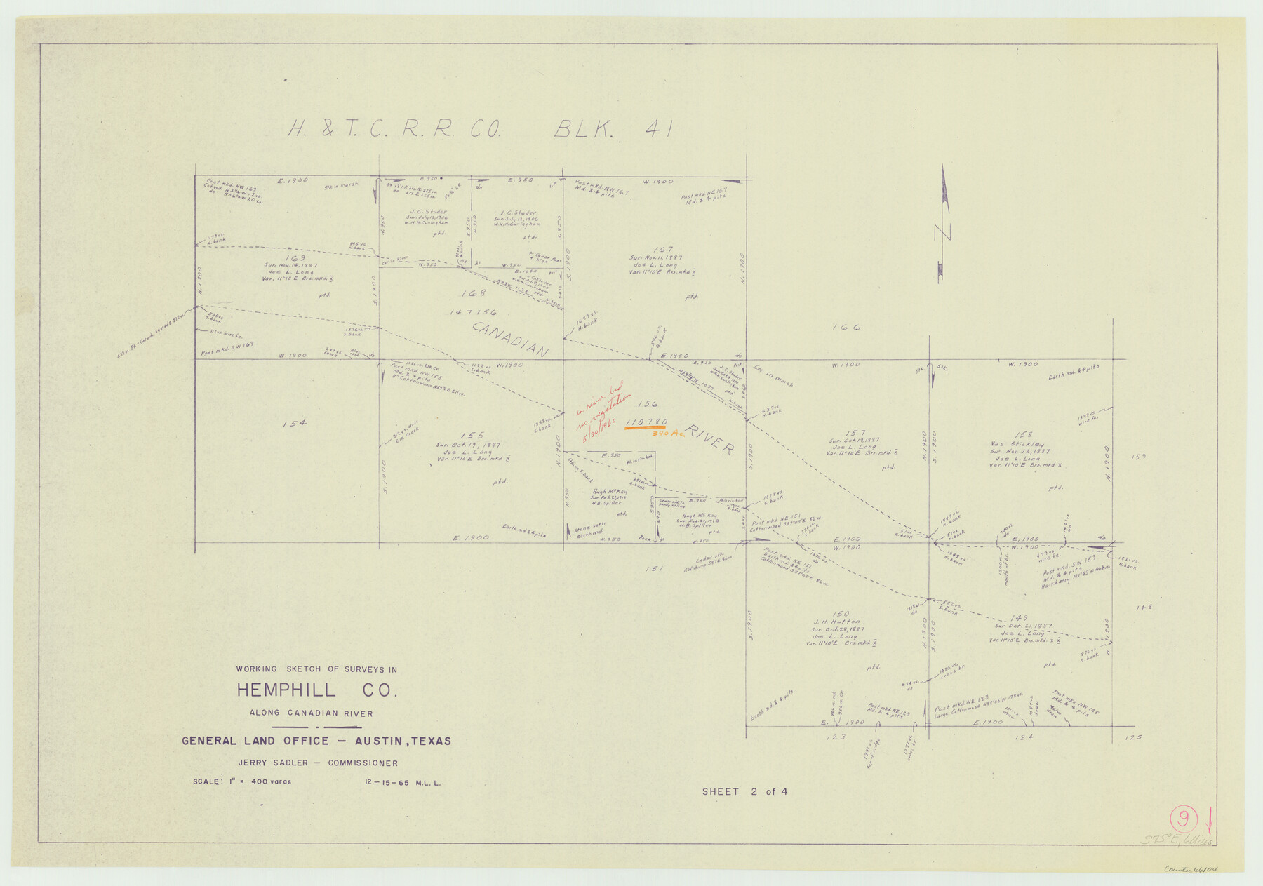
Hemphill County Working Sketch 9
-
Map/Doc
66104
-
Collection
General Map Collection
-
Object Dates
12/15/1965 (Creation Date)
-
People and Organizations
M. L. Liles (Draftsman)
-
Counties
Hemphill
-
Subjects
Surveying Working Sketch
-
Height x Width
23.0 x 32.8 inches
58.4 x 83.3 cm
-
Scale
1" = 400 varas
Part of: General Map Collection
Flight Mission No. DQO-6K, Frame 20, Galveston County

Print $20.00
- Digital $50.00
Flight Mission No. DQO-6K, Frame 20, Galveston County
1952
Size 18.8 x 22.3 inches
Map/Doc 85093
Tom Green County Rolled Sketch 5

Print $20.00
- Digital $50.00
Tom Green County Rolled Sketch 5
1947
Size 44.9 x 35.0 inches
Map/Doc 9997
Brewster County Sketch File NS-4

Print $40.00
- Digital $50.00
Brewster County Sketch File NS-4
1929
Size 17.8 x 22.8 inches
Map/Doc 10987
Hudspeth County Sketch File 21a

Print $10.00
- Digital $50.00
Hudspeth County Sketch File 21a
Size 10.6 x 8.4 inches
Map/Doc 26969
Webb County Rolled Sketch 32

Print $20.00
- Digital $50.00
Webb County Rolled Sketch 32
1937
Size 24.9 x 21.8 inches
Map/Doc 8188
Mills County Rolled Sketch 1

Print $20.00
- Digital $50.00
Mills County Rolled Sketch 1
Size 29.6 x 30.4 inches
Map/Doc 6779
Lampasas County Boundary File 2a

Print $8.00
- Digital $50.00
Lampasas County Boundary File 2a
Size 14.3 x 8.6 inches
Map/Doc 56097
Liberty County Working Sketch 58

Print $40.00
- Digital $50.00
Liberty County Working Sketch 58
1968
Size 37.3 x 70.3 inches
Map/Doc 70518
Hansford County Working Sketch 7

Print $20.00
- Digital $50.00
Hansford County Working Sketch 7
1969
Size 27.7 x 23.9 inches
Map/Doc 63379
Young County Rolled Sketch 12

Print $20.00
- Digital $50.00
Young County Rolled Sketch 12
Size 24.2 x 17.9 inches
Map/Doc 8300
University Lands Blocks 38 to 57, Crockett-Reagan-Irion-Schleicher-Counties

Print $40.00
- Digital $50.00
University Lands Blocks 38 to 57, Crockett-Reagan-Irion-Schleicher-Counties
1937
Size 34.2 x 52.7 inches
Map/Doc 2444
Cooke County Working Sketch 28

Print $20.00
- Digital $50.00
Cooke County Working Sketch 28
1976
Size 28.4 x 34.1 inches
Map/Doc 68265
You may also like
Parker County Sketch File 15

Print $4.00
- Digital $50.00
Parker County Sketch File 15
1861
Size 8.3 x 8.0 inches
Map/Doc 33548

[Sketch of San Antonio del Encinal, Hidalgo County, Texas]
![4457, [Sketch of San Antonio del Encinal, Hidalgo County, Texas], Maddox Collection](https://historictexasmaps.com/wmedia_w700/maps/4457-1.tif.jpg)
Print $20.00
- Digital $50.00
[Sketch of San Antonio del Encinal, Hidalgo County, Texas]
Size 12.1 x 27.1 inches
Map/Doc 4457
San Patricio County Working Sketch 5

Print $20.00
- Digital $50.00
San Patricio County Working Sketch 5
1934
Size 31.6 x 35.9 inches
Map/Doc 63767
Liberty County Working Sketch 67

Print $20.00
- Digital $50.00
Liberty County Working Sketch 67
1971
Size 35.3 x 44.5 inches
Map/Doc 70527
Harris County Working Sketch 101

Print $20.00
- Digital $50.00
Harris County Working Sketch 101
1980
Size 32.6 x 36.2 inches
Map/Doc 65993
Wood County Boundary File 7

Print $34.00
- Digital $50.00
Wood County Boundary File 7
Size 13.3 x 8.8 inches
Map/Doc 60187
Panola County Working Sketch 1

Print $20.00
- Digital $50.00
Panola County Working Sketch 1
1917
Map/Doc 71410
Nueces County Working Sketch 10

Print $20.00
- Digital $50.00
Nueces County Working Sketch 10
1963
Size 26.7 x 27.7 inches
Map/Doc 71312
Tom Green County Sketch File 60

Print $20.00
- Digital $50.00
Tom Green County Sketch File 60
1888
Size 28.4 x 25.9 inches
Map/Doc 12444
Edwards County Sketch File 36

Print $20.00
- Digital $50.00
Edwards County Sketch File 36
Size 18.3 x 18.7 inches
Map/Doc 11436
Flight Mission No. DQN-1K, Frame 144, Calhoun County

Print $20.00
- Digital $50.00
Flight Mission No. DQN-1K, Frame 144, Calhoun County
1953
Size 18.5 x 22.2 inches
Map/Doc 84207