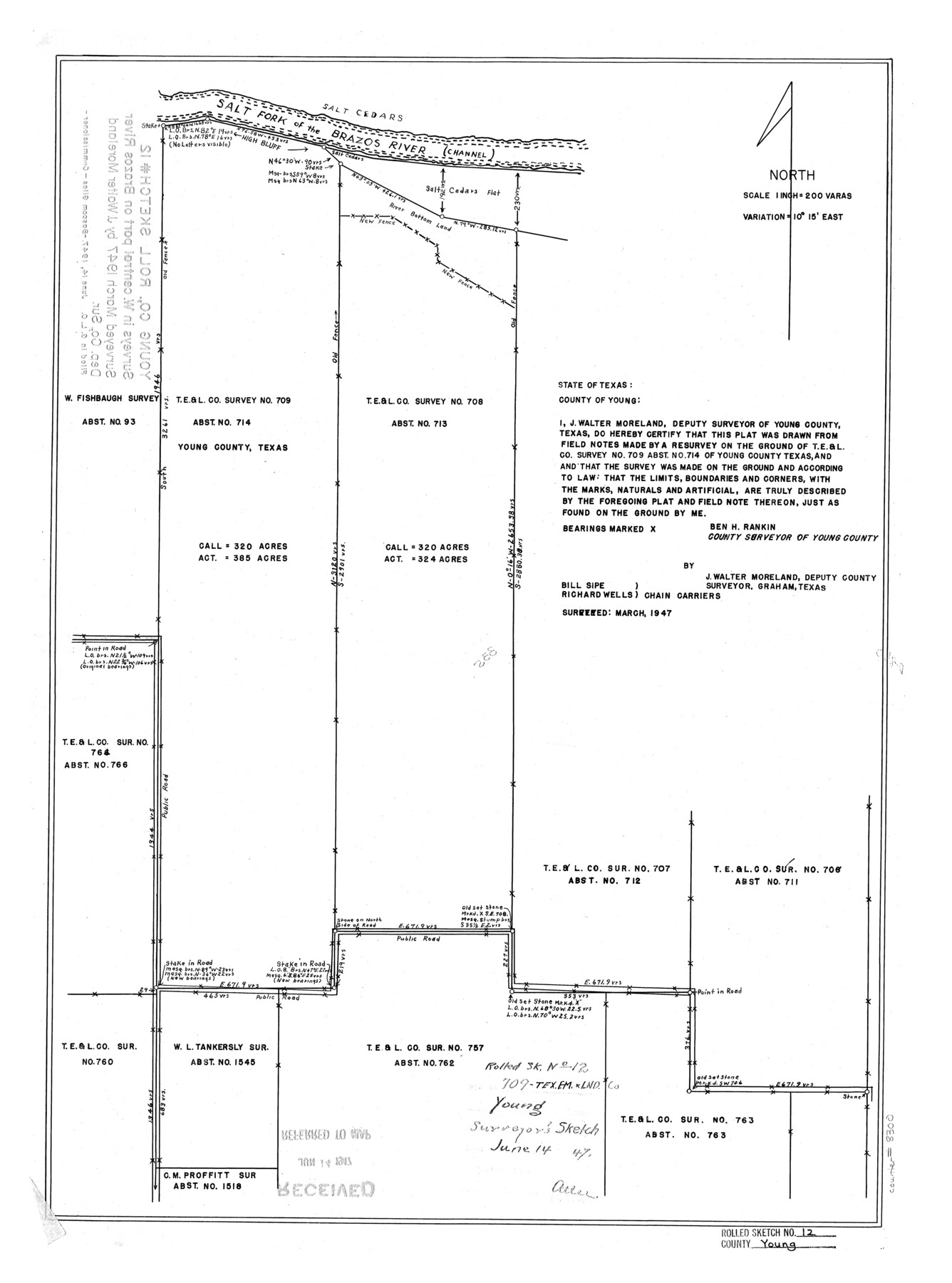
Young County Rolled Sketch 12
[Surveys in west central part of county on Brazos River]
-
Map/Doc
8300
-
Collection
General Map Collection
-
Object Dates
1947 (Survey Date)
1947/6/14 (File Date)
-
People and Organizations
J. Walter Moreland (Surveyor/Engineer)
-
Counties
Young
-
Subjects
Surveying Rolled Sketch
-
Height x Width
24.2 x 17.9 inches
61.5 x 45.5 cm
-
Scale
1" = 200 varas
Part of: General Map Collection

Wichita County Boundary File 3

Print $40.00
- Digital $50.00
Wichita County Boundary File 3
Size 9.0 x 52.8 inches
Map/Doc 59913
Coryell County Sketch File 19

Print $20.00
- Digital $50.00
Coryell County Sketch File 19
Size 14.8 x 12.4 inches
Map/Doc 19380
Potter County Boundary File 1b

Print $8.00
- Digital $50.00
Potter County Boundary File 1b
Size 14.4 x 8.4 inches
Map/Doc 57948
Montgomery County Sketch File 13

Print $40.00
- Digital $50.00
Montgomery County Sketch File 13
1900
Size 17.8 x 14.8 inches
Map/Doc 31803
Flight Mission No. CRE-1R, Frame 57, Jackson County

Print $20.00
- Digital $50.00
Flight Mission No. CRE-1R, Frame 57, Jackson County
1956
Size 17.3 x 22.4 inches
Map/Doc 85325
[Blocks 341, G-5, G-12, TCRRCo.]
![60298, [Blocks 341, G-5, G-12, TCRRCo.], General Map Collection](https://historictexasmaps.com/wmedia_w700/maps/60298-1.tif.jpg)
Print $20.00
- Digital $50.00
[Blocks 341, G-5, G-12, TCRRCo.]
1954
Size 15.1 x 26.1 inches
Map/Doc 60298
Flight Mission No. BRA-7M, Frame 140, Jefferson County

Print $20.00
- Digital $50.00
Flight Mission No. BRA-7M, Frame 140, Jefferson County
1953
Size 18.5 x 22.4 inches
Map/Doc 85534
Motley County Working Sketch 1

Print $20.00
- Digital $50.00
Motley County Working Sketch 1
1895
Size 16.3 x 21.2 inches
Map/Doc 71206
Gray County Sketch File 12

Print $6.00
- Digital $50.00
Gray County Sketch File 12
1889
Size 17.0 x 8.3 inches
Map/Doc 24454
Calhoun County Working Sketch 7

Print $20.00
- Digital $50.00
Calhoun County Working Sketch 7
1943
Size 20.1 x 22.0 inches
Map/Doc 67823
McMullen County Working Sketch 55

Print $20.00
- Digital $50.00
McMullen County Working Sketch 55
1983
Size 15.2 x 19.2 inches
Map/Doc 70756
You may also like
Reagan County Working Sketch 29

Print $40.00
- Digital $50.00
Reagan County Working Sketch 29
1963
Size 34.3 x 66.4 inches
Map/Doc 71871
Oldham County Boundary File 1a

Print $62.00
- Digital $50.00
Oldham County Boundary File 1a
Size 13.0 x 8.1 inches
Map/Doc 57734
Anderson County Sketch File 5

Print $6.00
- Digital $50.00
Anderson County Sketch File 5
1856
Size 9.7 x 7.8 inches
Map/Doc 12750
La Salle County Working Sketch 25

Print $20.00
- Digital $50.00
La Salle County Working Sketch 25
1947
Size 32.8 x 41.0 inches
Map/Doc 70326
[Center Line of the Texas and Pacific Railroad Company 16 Mile Reserve]
![3125, [Center Line of the Texas and Pacific Railroad Company 16 Mile Reserve], General Map Collection](https://historictexasmaps.com/wmedia_w700/maps/3125-1.tif.jpg)
Print $40.00
- Digital $50.00
[Center Line of the Texas and Pacific Railroad Company 16 Mile Reserve]
1876
Size 43.1 x 55.6 inches
Map/Doc 3125
Lamar County Sketch File 6

Print $40.00
- Digital $50.00
Lamar County Sketch File 6
Size 16.2 x 13.4 inches
Map/Doc 29286
Flight Mission No. BRE-1P, Frame 57, Nueces County

Print $20.00
- Digital $50.00
Flight Mission No. BRE-1P, Frame 57, Nueces County
1956
Size 18.5 x 22.2 inches
Map/Doc 86646
Shackelford County Sketch File 15

Print $16.00
- Digital $50.00
Shackelford County Sketch File 15
1998
Size 14.2 x 8.8 inches
Map/Doc 62202
Wilbarger County Working Sketch 10

Print $20.00
- Digital $50.00
Wilbarger County Working Sketch 10
1951
Size 23.5 x 32.3 inches
Map/Doc 72548
Sketch Showing Correction of Field Notes and Surveys

Print $3.00
- Digital $50.00
Sketch Showing Correction of Field Notes and Surveys
1886
Size 13.0 x 10.8 inches
Map/Doc 90270
Crockett County Rolled Sketch 71

Print $40.00
- Digital $50.00
Crockett County Rolled Sketch 71
1949
Size 54.5 x 38.9 inches
Map/Doc 8722
Blocks 14, 15, and 16, Capitol Syndicate Subdivision of Capitol Land Reservation Leagues

Print $20.00
- Digital $50.00
Blocks 14, 15, and 16, Capitol Syndicate Subdivision of Capitol Land Reservation Leagues
1908
Size 24.6 x 37.1 inches
Map/Doc 90736