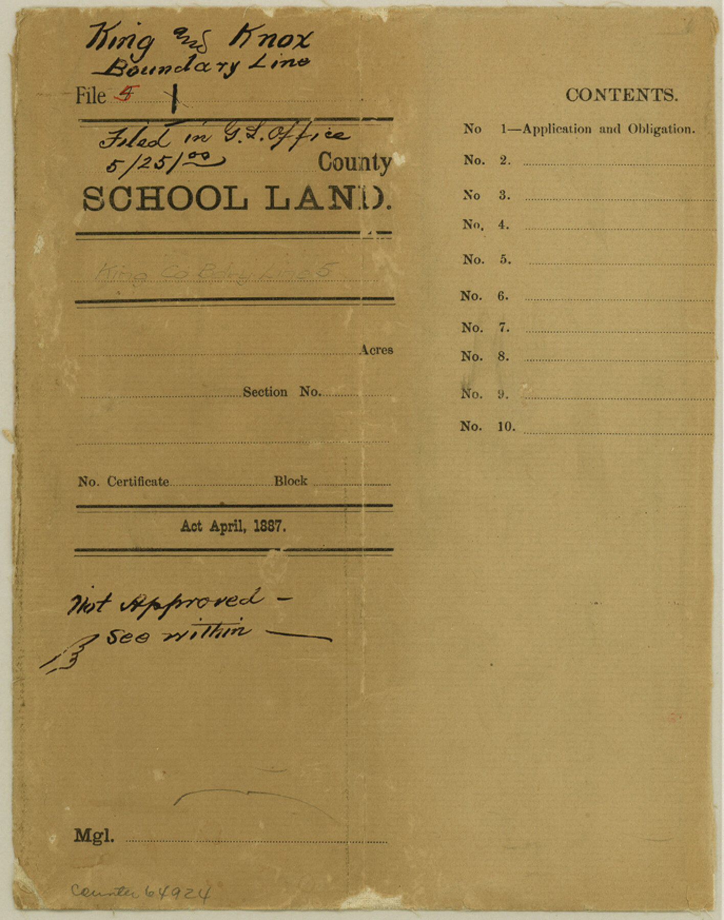
King County Boundary File 5b
-
Map/Doc
64924
-
Collection
General Map Collection
-
Counties
King
-
Subjects
County Boundaries
-
Height x Width
8.7 x 6.9 inches
22.1 x 17.5 cm
Part of: General Map Collection
Reagan County Boundary File 1

Print $8.00
- Digital $50.00
Reagan County Boundary File 1
Size 8.8 x 8.9 inches
Map/Doc 58151
Gaines County Rolled Sketch 26

Print $20.00
- Digital $50.00
Gaines County Rolled Sketch 26
1980
Size 28.0 x 15.5 inches
Map/Doc 5940
Gulf Oil Corp. Fishgide - Freeport

Gulf Oil Corp. Fishgide - Freeport
1960
Size 12.1 x 22.1 inches
Map/Doc 75979
Trinity River, Big Creek Sheet

Print $40.00
- Digital $50.00
Trinity River, Big Creek Sheet
1924
Size 48.0 x 36.4 inches
Map/Doc 65179
Presidio County Working Sketch 64

Print $40.00
- Digital $50.00
Presidio County Working Sketch 64
1958
Size 50.2 x 37.5 inches
Map/Doc 71741
Dimmit County Working Sketch 14

Print $20.00
- Digital $50.00
Dimmit County Working Sketch 14
1941
Size 27.4 x 30.1 inches
Map/Doc 68675
Jefferson County Sketch File 55

Print $30.00
- Digital $50.00
Jefferson County Sketch File 55
1982
Size 11.1 x 8.5 inches
Map/Doc 28386
Jeff Davis County Working Sketch 32

Print $40.00
- Digital $50.00
Jeff Davis County Working Sketch 32
1975
Size 66.7 x 43.7 inches
Map/Doc 66527
Boundary Between the United States & Mexico Agreed Upon by the Joint Commission under the Treaty of Guadalupe Hidalgo

Print $4.00
- Digital $50.00
Boundary Between the United States & Mexico Agreed Upon by the Joint Commission under the Treaty of Guadalupe Hidalgo
1853
Size 24.9 x 18.1 inches
Map/Doc 65393
Parmer County Sketch File 2

Print $26.00
- Digital $50.00
Parmer County Sketch File 2
1903
Size 7.2 x 8.7 inches
Map/Doc 33626
Flight Mission No. DQN-1K, Frame 27, Calhoun County

Print $20.00
- Digital $50.00
Flight Mission No. DQN-1K, Frame 27, Calhoun County
1953
Size 18.5 x 22.1 inches
Map/Doc 84132
Presidio County Rolled Sketch A-2A

Print $20.00
- Digital $50.00
Presidio County Rolled Sketch A-2A
Size 34.1 x 15.9 inches
Map/Doc 7406
You may also like
Hansford County Working Sketch Graphic Index

Print $20.00
- Digital $50.00
Hansford County Working Sketch Graphic Index
1932
Size 39.2 x 38.2 inches
Map/Doc 76565
Hardin County Working Sketch 36

Print $40.00
- Digital $50.00
Hardin County Working Sketch 36
1981
Size 76.8 x 37.5 inches
Map/Doc 63434
Denton County Boundary File 1

Print $14.00
- Digital $50.00
Denton County Boundary File 1
Size 8.7 x 3.5 inches
Map/Doc 52394
[The S.K. Ry. of Texas, State Line to Pecos, Reeves Co., Texas]
![64163, [The S.K. Ry. of Texas, State Line to Pecos, Reeves Co., Texas], General Map Collection](https://historictexasmaps.com/wmedia_w700/maps/64163.tif.jpg)
Print $40.00
- Digital $50.00
[The S.K. Ry. of Texas, State Line to Pecos, Reeves Co., Texas]
1910
Size 19.3 x 120.2 inches
Map/Doc 64163
Coleman County Working Sketch 18

Print $20.00
- Digital $50.00
Coleman County Working Sketch 18
1952
Size 24.6 x 34.8 inches
Map/Doc 68084
Galveston Harbor, Texas - U.S. Harbor Lines - Galveston Harbor, Galveston Channel, Channel from Galveston Harbor to Texas City and Channel to Port Bolivar

Print $20.00
- Digital $50.00
Galveston Harbor, Texas - U.S. Harbor Lines - Galveston Harbor, Galveston Channel, Channel from Galveston Harbor to Texas City and Channel to Port Bolivar
1939
Size 39.4 x 26.7 inches
Map/Doc 73631
Flight Mission No. CRC-3R, Frame 53, Chambers County

Print $20.00
- Digital $50.00
Flight Mission No. CRC-3R, Frame 53, Chambers County
1956
Size 18.6 x 22.4 inches
Map/Doc 84825
Motley County Sketch File 17 (S)

Print $6.00
- Digital $50.00
Motley County Sketch File 17 (S)
1901
Size 14.2 x 8.7 inches
Map/Doc 32189

Kerr County Sketch File 6

Print $20.00
- Digital $50.00
Kerr County Sketch File 6
1879
Size 16.4 x 22.4 inches
Map/Doc 11917
Glasscock County Rolled Sketch 6

Print $20.00
- Digital $50.00
Glasscock County Rolled Sketch 6
1946
Size 19.9 x 22.5 inches
Map/Doc 6017
