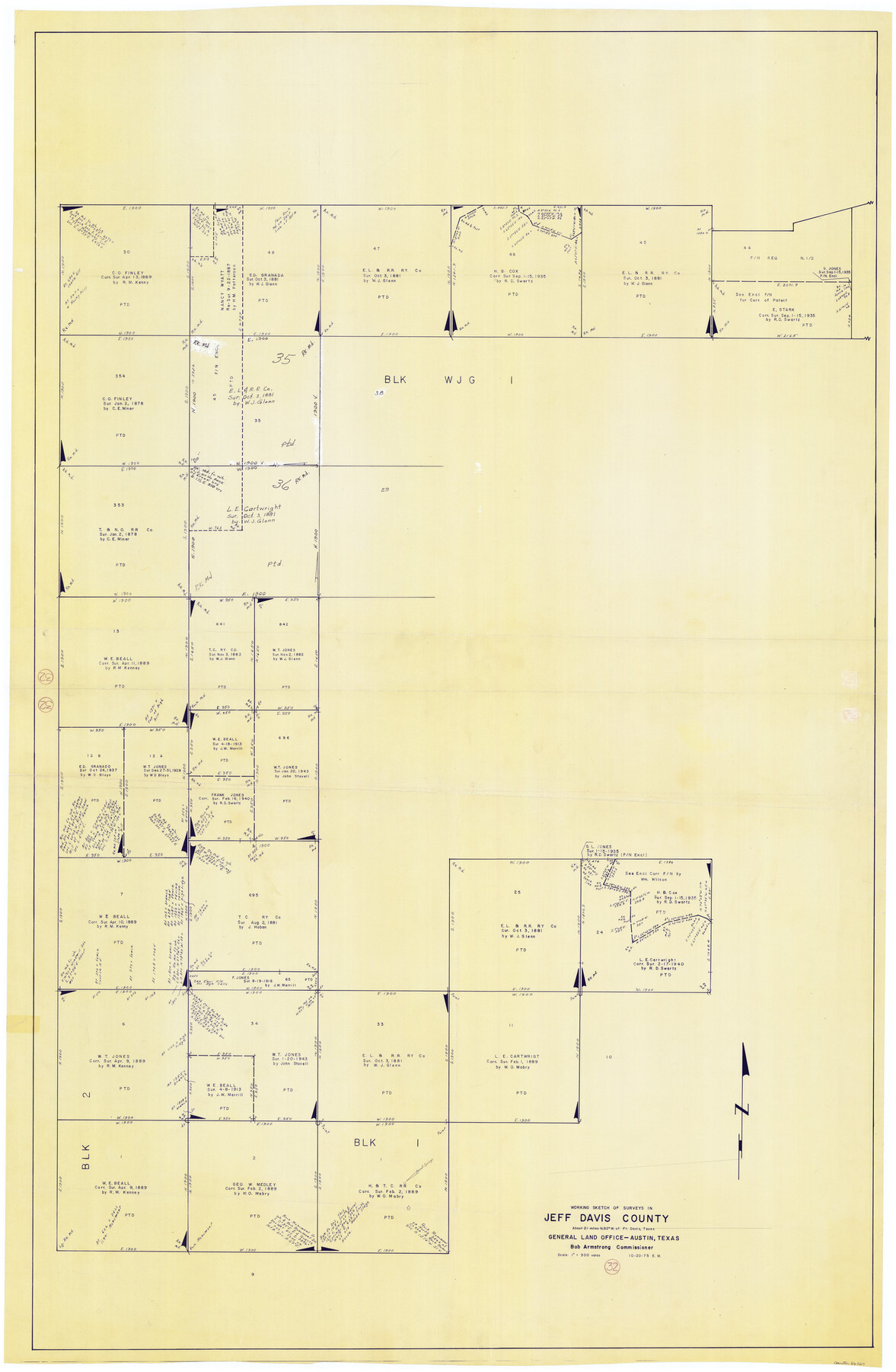
Jeff Davis County Working Sketch 32
-
Map/Doc
66527
-
Collection
General Map Collection
-
Object Dates
10/20/1975 (Creation Date)
-
People and Organizations
Elbert Menzel (Draftsman)
-
Counties
Jeff Davis
-
Subjects
Surveying Working Sketch
-
Height x Width
66.7 x 43.7 inches
169.4 x 111.0 cm
-
Scale
1" = 300 varas
Part of: General Map Collection
Loving County State of Texas

Print $20.00
- Digital $50.00
Loving County State of Texas
1889
Size 20.6 x 24.3 inches
Map/Doc 4582
Lake Austin, Travis County, Texas

Print $20.00
- Digital $50.00
Lake Austin, Travis County, Texas
1937
Size 24.8 x 16.4 inches
Map/Doc 2056
[Surveys in the Bexar District along the Atascosa Creek]
![221, [Surveys in the Bexar District along the Atascosa Creek], General Map Collection](https://historictexasmaps.com/wmedia_w700/maps/221.tif.jpg)
Print $2.00
- Digital $50.00
[Surveys in the Bexar District along the Atascosa Creek]
1842
Size 5.9 x 5.9 inches
Map/Doc 221
Shelby County Sketch File 28

Print $4.00
- Digital $50.00
Shelby County Sketch File 28
Size 6.2 x 7.9 inches
Map/Doc 36664
Flight Mission No. CRC-3R, Frame 26, Chambers County

Print $20.00
- Digital $50.00
Flight Mission No. CRC-3R, Frame 26, Chambers County
1956
Size 18.7 x 22.3 inches
Map/Doc 84800
Arroyo Colorado, Rio Hondo Sheet

Print $40.00
- Digital $50.00
Arroyo Colorado, Rio Hondo Sheet
1929
Size 35.0 x 52.6 inches
Map/Doc 65129
Dickens County Sketch File H2

Print $2.00
- Digital $50.00
Dickens County Sketch File H2
Size 12.9 x 8.2 inches
Map/Doc 20874
Brewster County Rolled Sketch 24A

Print $20.00
- Digital $50.00
Brewster County Rolled Sketch 24A
1910
Size 19.8 x 26.1 inches
Map/Doc 5208
Flight Mission No. DQO-8K, Frame 65, Galveston County

Print $20.00
- Digital $50.00
Flight Mission No. DQO-8K, Frame 65, Galveston County
1952
Size 18.8 x 22.5 inches
Map/Doc 85169
Milam County Working Sketch 4

Print $20.00
- Digital $50.00
Milam County Working Sketch 4
1954
Size 26.1 x 32.4 inches
Map/Doc 71019
Hall County Rolled Sketch 5

Print $20.00
- Digital $50.00
Hall County Rolled Sketch 5
1914
Size 30.2 x 37.1 inches
Map/Doc 6049
Concho County Rolled Sketch 10

Print $20.00
- Digital $50.00
Concho County Rolled Sketch 10
1957
Size 22.9 x 26.0 inches
Map/Doc 5548
You may also like
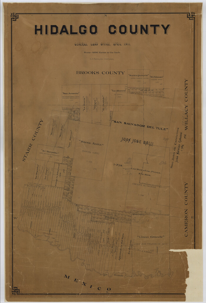
Hidalgo County
Print $20.00
- Digital $50.00
Hidalgo County
1911
Size 42.1 x 28.7 inches
Map/Doc 16850
This Map Shows the Surveys 61 to 69 by Dod's Monuments in Accordance with Dod's Course in Stanolind vs. State

Print $2.00
- Digital $50.00
This Map Shows the Surveys 61 to 69 by Dod's Monuments in Accordance with Dod's Course in Stanolind vs. State
Size 15.7 x 9.0 inches
Map/Doc 91687
Jefferson County Aerial Photograph Index Sheet 6

Print $20.00
- Digital $50.00
Jefferson County Aerial Photograph Index Sheet 6
1953
Size 23.3 x 17.0 inches
Map/Doc 83710
Kansas and Nebraska

Print $20.00
- Digital $50.00
Kansas and Nebraska
Size 30.8 x 19.4 inches
Map/Doc 93994
Bosque County Working Sketch 6

Print $20.00
- Digital $50.00
Bosque County Working Sketch 6
1939
Size 22.3 x 35.6 inches
Map/Doc 67439

Map of Colorado County, Texas

Print $20.00
- Digital $50.00
Map of Colorado County, Texas
Size 28.6 x 23.5 inches
Map/Doc 700
Tarrant County Sketch File 19

Print $4.00
- Digital $50.00
Tarrant County Sketch File 19
Size 9.7 x 8.1 inches
Map/Doc 37721
Cameron County Rolled Sketch 25

Print $20.00
- Digital $50.00
Cameron County Rolled Sketch 25
1977
Size 24.8 x 36.6 inches
Map/Doc 5798
Dallam County

Print $40.00
- Digital $50.00
Dallam County
1926
Size 40.1 x 48.6 inches
Map/Doc 73125
Val Verde County Sketch File 55

Print $44.00
- Digital $50.00
Val Verde County Sketch File 55
1999
Size 11.5 x 8.9 inches
Map/Doc 39337
Plat of Surveys in Hidalgo Co.

Print $20.00
- Digital $50.00
Plat of Surveys in Hidalgo Co.
Size 18.2 x 9.3 inches
Map/Doc 405