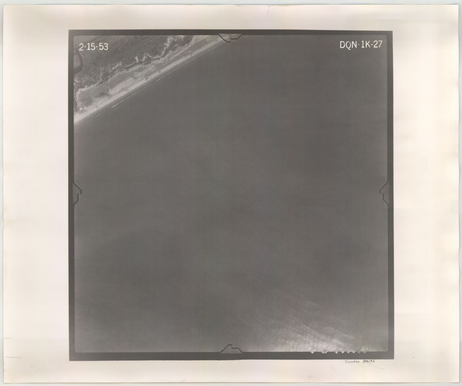
Flight Mission No. DQN-1K, Frame 27, Calhoun County
DQN-1K-27
-
Map/Doc
84132
-
Collection
General Map Collection
-
Object Dates
1953/2/15 (Creation Date)
-
People and Organizations
U. S. Department of Agriculture (Publisher)
-
Counties
Calhoun
-
Subjects
Aerial Photograph
-
Height x Width
18.5 x 22.1 inches
47.0 x 56.1 cm
-
Comments
Flown by Aero Exploration Company of Tulsa, Oklahoma.
Part of: General Map Collection
Runnels County Rolled Sketch 18

Print $20.00
- Digital $50.00
Runnels County Rolled Sketch 18
Size 23.1 x 25.3 inches
Map/Doc 7513

Aransas County Rolled Sketch 15A

Print $20.00
- Digital $50.00
Aransas County Rolled Sketch 15A
1969
Size 26.3 x 25.4 inches
Map/Doc 8411
Tom Green County Sketch File 71

Print $20.00
- Digital $50.00
Tom Green County Sketch File 71
1948
Size 17.5 x 20.6 inches
Map/Doc 12447
Chambers County Sketch File B

Print $2.00
- Digital $50.00
Chambers County Sketch File B
1907
Size 7.2 x 8.5 inches
Map/Doc 17515
Johnson County Working Sketch 19

Print $20.00
- Digital $50.00
Johnson County Working Sketch 19
1990
Size 35.2 x 42.5 inches
Map/Doc 66632
Brown County Sketch File 6

Print $6.00
- Digital $50.00
Brown County Sketch File 6
1858
Size 10.4 x 8.3 inches
Map/Doc 16587
Frio County Rolled Sketch 13

Print $20.00
- Digital $50.00
Frio County Rolled Sketch 13
1949
Size 36.8 x 26.7 inches
Map/Doc 5920
[F. W. & D. C. Ry. Co. Alignment and Right of Way Map, Clay County]
![64740, [F. W. & D. C. Ry. Co. Alignment and Right of Way Map, Clay County], General Map Collection](https://historictexasmaps.com/wmedia_w700/maps/64740-GC.tif.jpg)
Print $20.00
- Digital $50.00
[F. W. & D. C. Ry. Co. Alignment and Right of Way Map, Clay County]
1927
Size 18.7 x 11.8 inches
Map/Doc 64740
Map of Galveston Bay from Lawrence Cove to Stevenson's Station

Print $20.00
- Digital $50.00
Map of Galveston Bay from Lawrence Cove to Stevenson's Station
1851
Size 35.2 x 29.7 inches
Map/Doc 69921
Map of Aransas Co.

Print $20.00
- Digital $50.00
Map of Aransas Co.
1896
Size 35.1 x 32.0 inches
Map/Doc 4776
Kimble County Rolled Sketch 17

Print $20.00
- Digital $50.00
Kimble County Rolled Sketch 17
Size 19.7 x 20.5 inches
Map/Doc 6509
You may also like
Jeff Davis County Rolled Sketch 20

Print $20.00
- Digital $50.00
Jeff Davis County Rolled Sketch 20
1944
Size 22.7 x 19.6 inches
Map/Doc 7724
Angelina County Sketch File 16

Print $11.00
- Digital $50.00
Angelina County Sketch File 16
Size 7.9 x 3.8 inches
Map/Doc 13004
McCulloch County

Print $20.00
- Digital $50.00
McCulloch County
1874
Size 21.9 x 16.8 inches
Map/Doc 3856
Liberty County Rolled Sketch 2S

Print $20.00
- Digital $50.00
Liberty County Rolled Sketch 2S
1958
Size 32.0 x 40.6 inches
Map/Doc 10660
Sketch showing Damon's Mound and adjacent surveys

Print $20.00
- Digital $50.00
Sketch showing Damon's Mound and adjacent surveys
Size 19.4 x 17.7 inches
Map/Doc 90218
Map of Galveston, Harrisburg & San Antonio Railway in Pecos County

Print $40.00
- Digital $50.00
Map of Galveston, Harrisburg & San Antonio Railway in Pecos County
1888
Size 26.0 x 80.9 inches
Map/Doc 64399
McMullen County Sketch File 47

Print $20.00
- Digital $50.00
McMullen County Sketch File 47
1989
Size 24.6 x 21.5 inches
Map/Doc 12066
Duval County Boundary File 3l

Print $40.00
- Digital $50.00
Duval County Boundary File 3l
Size 13.4 x 17.1 inches
Map/Doc 52761
Smith County Working Sketch 16

Print $20.00
- Digital $50.00
Smith County Working Sketch 16
1988
Size 33.6 x 44.9 inches
Map/Doc 63901
Morris County Rolled Sketch 2A

Print $20.00
- Digital $50.00
Morris County Rolled Sketch 2A
Size 22.6 x 17.7 inches
Map/Doc 10285
Starr County Sketch File 48a

Print $40.00
- Digital $50.00
Starr County Sketch File 48a
1950
Size 9.0 x 22.0 inches
Map/Doc 37005
Hemphill County Rolled Sketch MJ

Print $20.00
- Digital $50.00
Hemphill County Rolled Sketch MJ
Size 21.3 x 41.4 inches
Map/Doc 6201