[East Line & Red River Railroad from Sulphur Springs to Jefferson]
Z-2-205
-
Map/Doc
64768
-
Collection
General Map Collection
-
Object Dates
1879/4/17 (Creation Date)
1879/4/18 (File Date)
-
Counties
Hopkins Wood Franklin Camp Titus Morris Cass
-
Subjects
Railroads
-
Height x Width
38.0 x 108.5 inches
96.5 x 275.6 cm
-
Medium
linen, manuscript
-
Comments
See 64769 for other segment of this map.
-
Features
EL&RR
Sulphur Springs
Rock Creek
Caney Creek
Sandy Creek
Big Cypress Bayou
Dry Fork of Cypress
Pittsburg
Dangerfield
Part of: General Map Collection
Dawson County Sketch File 23


Print $4.00
- Digital $50.00
Dawson County Sketch File 23
Size 9.2 x 11.5 inches
Map/Doc 20575
Marion County Working Sketch 42
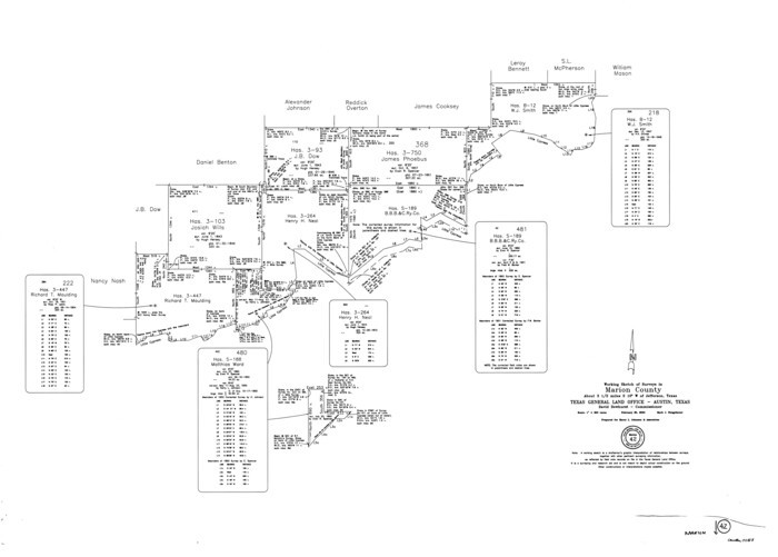

Print $20.00
- Digital $50.00
Marion County Working Sketch 42
2000
Size 29.6 x 41.4 inches
Map/Doc 70818
Flight Mission No. DIX-6P, Frame 198, Aransas County


Print $20.00
- Digital $50.00
Flight Mission No. DIX-6P, Frame 198, Aransas County
1956
Size 19.1 x 22.9 inches
Map/Doc 83860
Jefferson County Sketch File 32
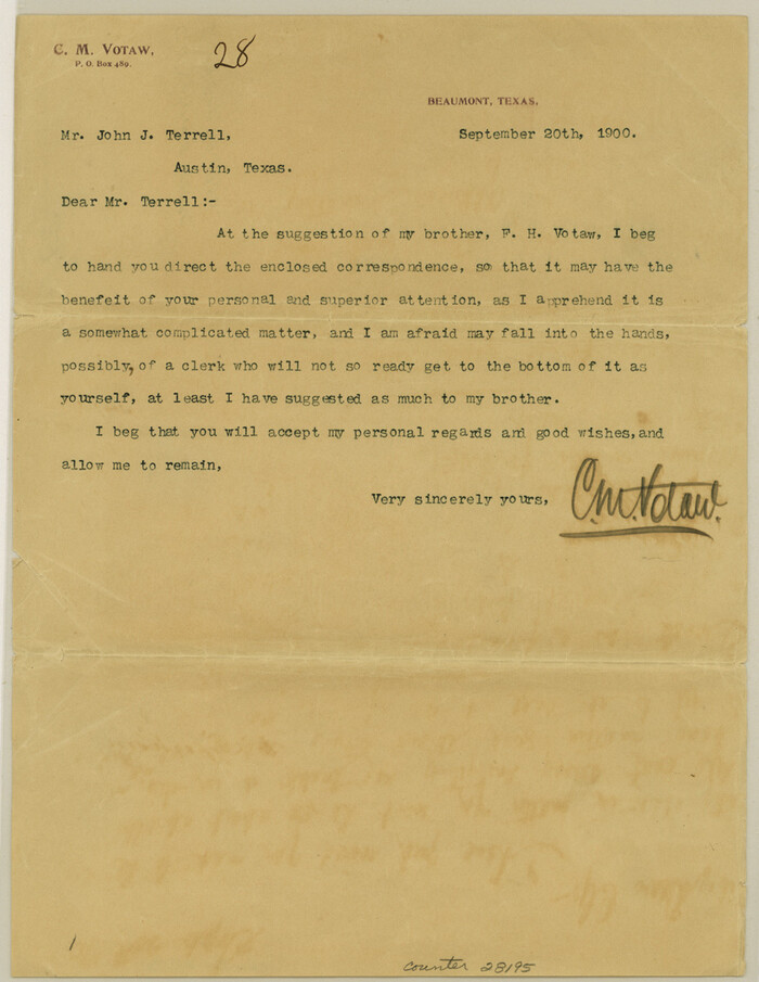

Print $4.00
- Digital $50.00
Jefferson County Sketch File 32
1900
Size 11.3 x 8.7 inches
Map/Doc 28195
La Salle County Rolled Sketch 19


Print $20.00
- Digital $50.00
La Salle County Rolled Sketch 19
1953
Size 31.8 x 30.0 inches
Map/Doc 6583
Jasper County Rolled Sketch 4


Print $20.00
- Digital $50.00
Jasper County Rolled Sketch 4
1947
Size 40.0 x 31.1 inches
Map/Doc 6351
Map of Texas from the most recent authorities
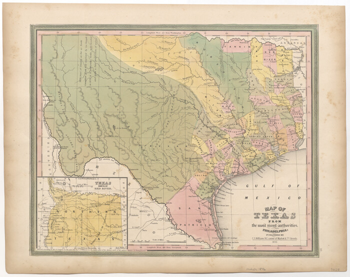

Print $20.00
- Digital $50.00
Map of Texas from the most recent authorities
Size 14.2 x 18.0 inches
Map/Doc 96628
Harris County Rolled Sketch 85


Print $20.00
- Digital $50.00
Harris County Rolled Sketch 85
1968
Size 22.0 x 32.0 inches
Map/Doc 6119
Marion County Sketch File 1b


Print $8.00
- Digital $50.00
Marion County Sketch File 1b
Size 12.4 x 7.7 inches
Map/Doc 30560
Texas Gulf Coast from Sabine River to Rio Grande As Subdivided for Mineral Development - Obsolete
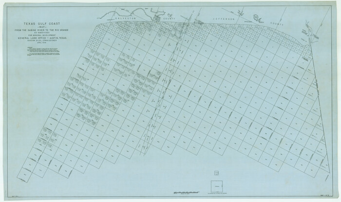

Print $40.00
- Digital $50.00
Texas Gulf Coast from Sabine River to Rio Grande As Subdivided for Mineral Development - Obsolete
1948
Size 42.0 x 70.8 inches
Map/Doc 2946
Brazoria County Sketch File 33
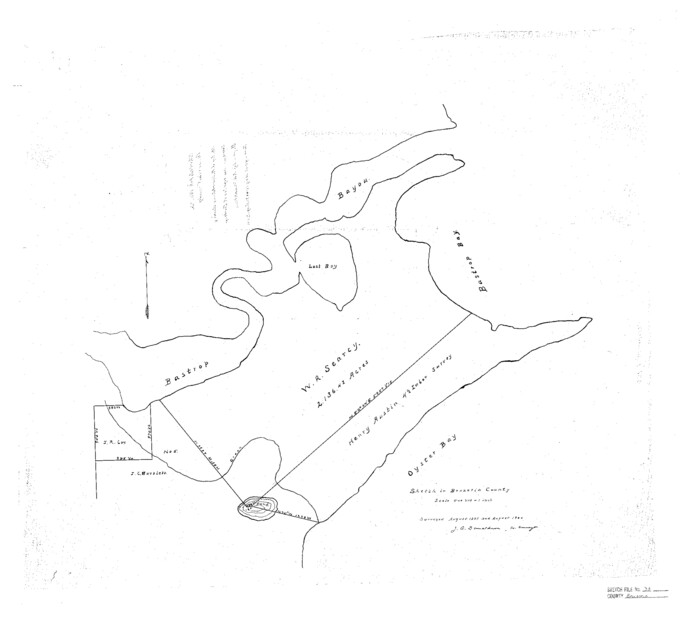

Print $40.00
- Digital $50.00
Brazoria County Sketch File 33
Size 21.9 x 24.1 inches
Map/Doc 10957
Hudspeth County Sketch File 21
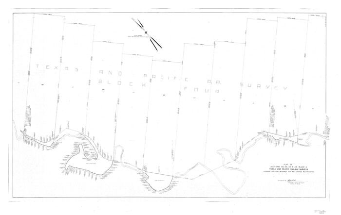

Print $40.00
- Digital $50.00
Hudspeth County Sketch File 21
Size 60.1 x 38.0 inches
Map/Doc 10495
You may also like
Donley County Sketch File B9
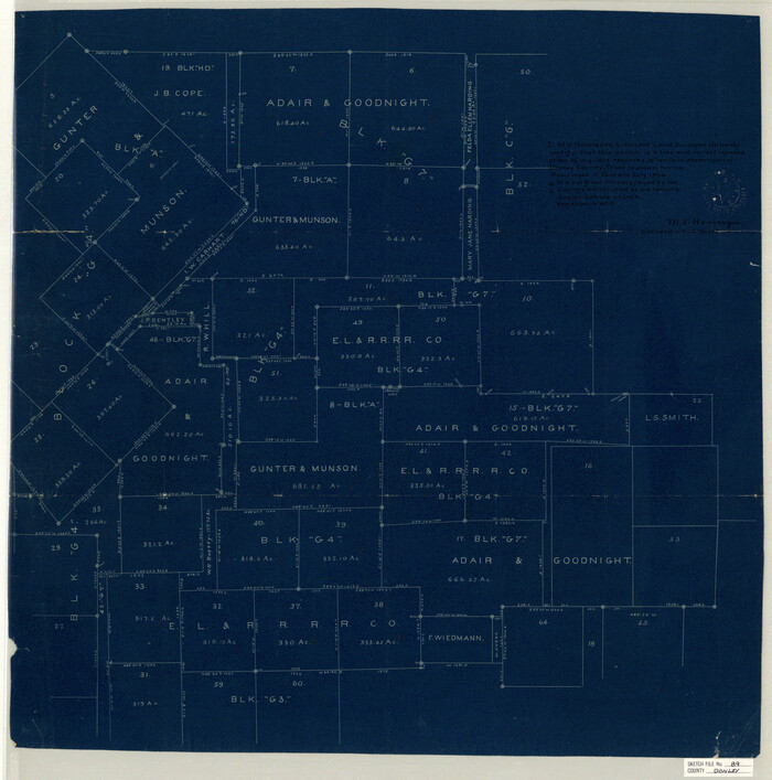

Print $20.00
- Digital $50.00
Donley County Sketch File B9
1920
Size 26.0 x 25.8 inches
Map/Doc 11379
Eastland County Working Sketch 28
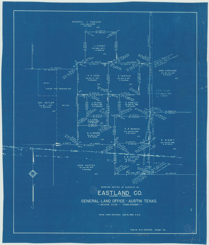

Print $20.00
- Digital $50.00
Eastland County Working Sketch 28
1952
Size 25.0 x 21.3 inches
Map/Doc 68809
General Highway Map, Navarro County, Texas
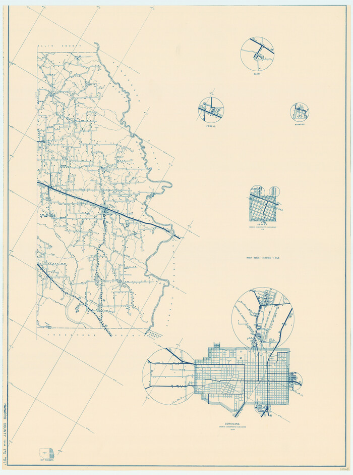

Print $20.00
General Highway Map, Navarro County, Texas
1939
Size 24.7 x 18.4 inches
Map/Doc 79206
Howard County Working Sketch 1
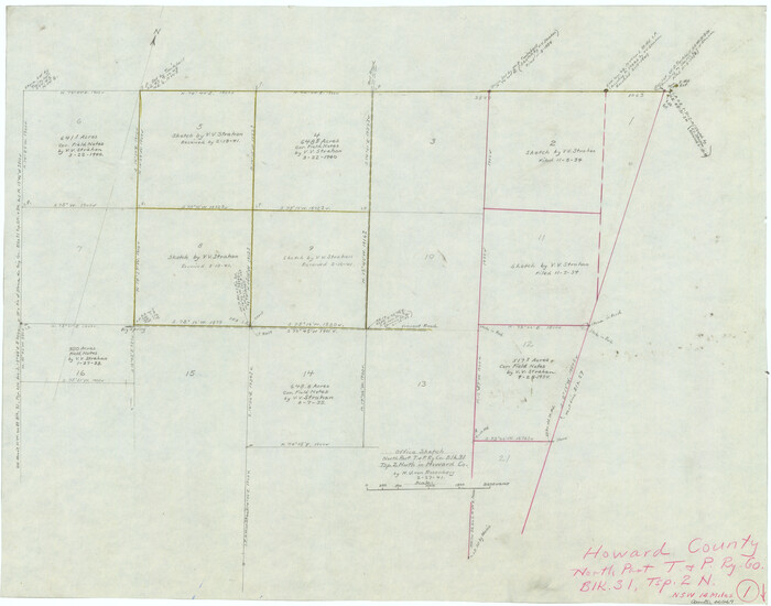

Print $20.00
- Digital $50.00
Howard County Working Sketch 1
1941
Size 19.7 x 25.1 inches
Map/Doc 66267
Brewster County Rolled Sketch 81
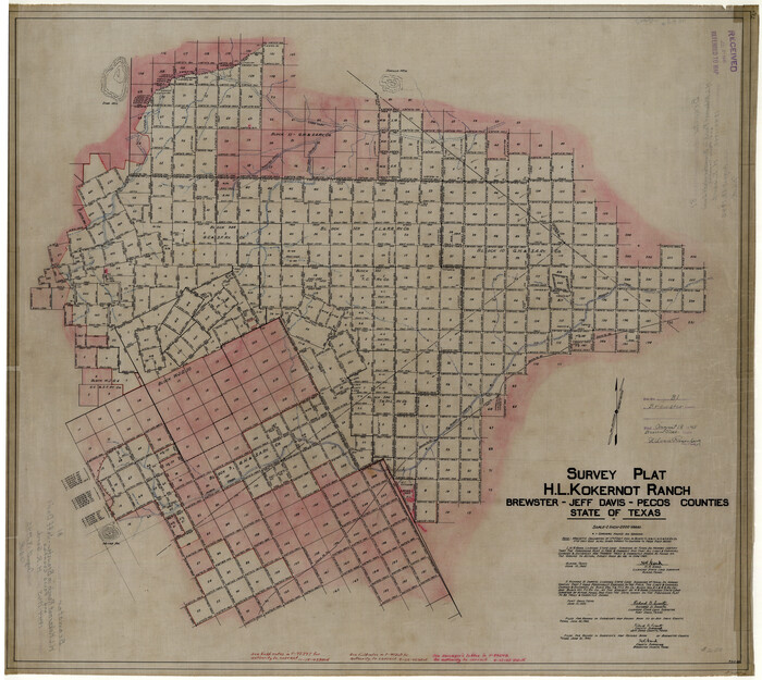

Print $20.00
- Digital $50.00
Brewster County Rolled Sketch 81
1945
Size 30.8 x 33.9 inches
Map/Doc 8494
Atascosa County Sketch File 31


Print $4.00
- Digital $50.00
Atascosa County Sketch File 31
1910
Size 9.4 x 4.3 inches
Map/Doc 13825
Kendall County Rolled Sketch 5


Print $20.00
- Digital $50.00
Kendall County Rolled Sketch 5
Size 23.4 x 19.3 inches
Map/Doc 6458
Orange County Working Sketch 40
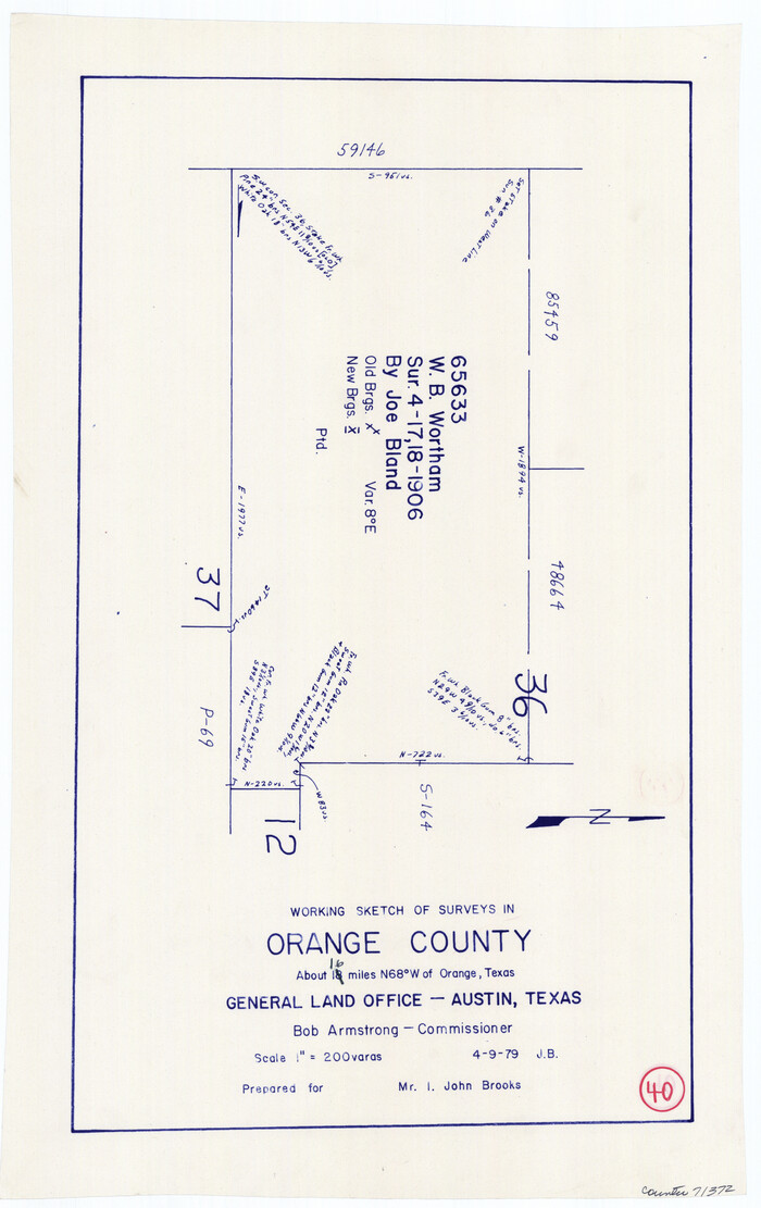

Print $20.00
- Digital $50.00
Orange County Working Sketch 40
1979
Size 19.2 x 12.1 inches
Map/Doc 71372
Kimble County Rolled Sketch 12


Print $20.00
- Digital $50.00
Kimble County Rolled Sketch 12
Size 24.6 x 26.2 inches
Map/Doc 6507
Flight Mission No. CUG-2P, Frame 25, Kleberg County
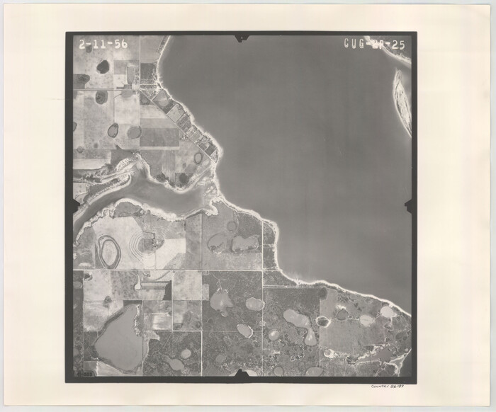

Print $20.00
- Digital $50.00
Flight Mission No. CUG-2P, Frame 25, Kleberg County
1956
Size 18.5 x 22.2 inches
Map/Doc 86189
Baylor County Sketch File 6
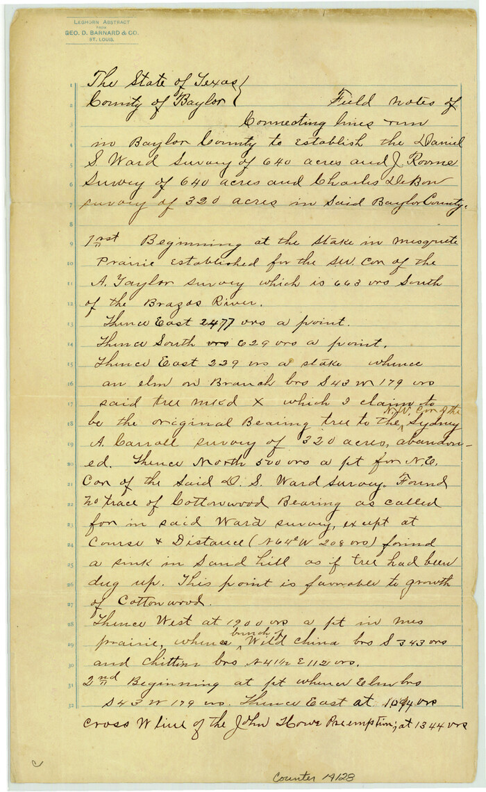

Print $8.00
- Digital $50.00
Baylor County Sketch File 6
1887
Size 14.3 x 8.8 inches
Map/Doc 14128
State of Texas


Print $40.00
- Digital $50.00
State of Texas
1948
Size 44.6 x 56.8 inches
Map/Doc 78634
![64768, [East Line & Red River Railroad from Sulphur Springs to Jefferson], General Map Collection](https://historictexasmaps.com/wmedia_w1800h1800/maps/64768.tif.jpg)