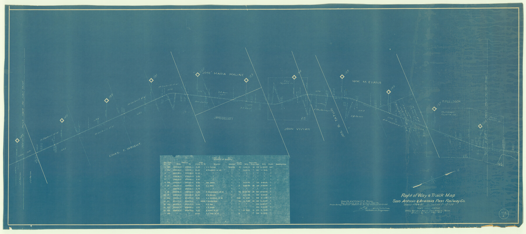
Right of Way & Track Map, San Antonio & Aransas Pass Railway Co.
Station 1584+00 to Station 2112+00
Z-2-55
-
Map/Doc
64216
-
Collection
General Map Collection
-
Object Dates
1919 (Creation Date)
-
People and Organizations
Office Valuation Board (Publisher)
-
Counties
Fayette
-
Subjects
Railroads
-
Height x Width
25.3 x 56.7 inches
64.3 x 144.0 cm
-
Medium
blueprint/diazo
-
Scale
1 inch = 1000 feet
-
Comments
See counters 64213 through 64218 for all pages of map.
-
Features
SA&AP
Floy
Muldoon
Part of: General Map Collection
Central Part of Jeff Davis Co.

Print $40.00
- Digital $50.00
Central Part of Jeff Davis Co.
1982
Size 56.3 x 43.9 inches
Map/Doc 95543
Culberson County Rolled Sketch 19

Print $20.00
- Digital $50.00
Culberson County Rolled Sketch 19
Size 18.8 x 29.4 inches
Map/Doc 5651
Webb County Sketch File 14-2

Print $6.00
- Digital $50.00
Webb County Sketch File 14-2
1936
Size 14.3 x 8.7 inches
Map/Doc 39817
Edwards County Sketch File 14

Print $24.00
- Digital $50.00
Edwards County Sketch File 14
1891
Size 12.9 x 8.7 inches
Map/Doc 21703
Harris County Historic Topographic 26

Print $20.00
- Digital $50.00
Harris County Historic Topographic 26
1916
Size 29.2 x 22.8 inches
Map/Doc 65837
Flight Mission No. CGI-3N, Frame 123, Cameron County

Print $20.00
- Digital $50.00
Flight Mission No. CGI-3N, Frame 123, Cameron County
1954
Size 18.6 x 22.2 inches
Map/Doc 84596
Goliad County Sketch File 13

Print $8.00
- Digital $50.00
Goliad County Sketch File 13
1856
Size 12.4 x 8.0 inches
Map/Doc 24239
Floyd County Sketch File 6

Print $2.00
- Digital $50.00
Floyd County Sketch File 6
Size 9.1 x 14.4 inches
Map/Doc 22696
Flight Mission No. BRA-7M, Frame 147, Jefferson County

Print $20.00
- Digital $50.00
Flight Mission No. BRA-7M, Frame 147, Jefferson County
1953
Size 16.2 x 15.9 inches
Map/Doc 85541
King County Working Sketch 18

Print $20.00
- Digital $50.00
King County Working Sketch 18
1994
Size 31.3 x 35.1 inches
Map/Doc 70182
Marion County Working Sketch 29

Print $20.00
- Digital $50.00
Marion County Working Sketch 29
1977
Size 20.4 x 16.1 inches
Map/Doc 70805
McMullen County Sketch File 46

Print $6.00
- Digital $50.00
McMullen County Sketch File 46
1943
Size 14.3 x 8.7 inches
Map/Doc 31434
You may also like
Fayette County Rolled Sketch K

Print $20.00
- Digital $50.00
Fayette County Rolled Sketch K
1936
Size 41.2 x 40.0 inches
Map/Doc 8886
[Galveston, Harrisburg & San Antonio Railway]
![64406, [Galveston, Harrisburg & San Antonio Railway], General Map Collection](https://historictexasmaps.com/wmedia_w700/maps/64406.tif.jpg)
Print $20.00
- Digital $50.00
[Galveston, Harrisburg & San Antonio Railway]
1892
Size 13.5 x 33.6 inches
Map/Doc 64406
Houston County Working Sketch 8

Print $20.00
- Digital $50.00
Houston County Working Sketch 8
1936
Size 41.6 x 30.5 inches
Map/Doc 66238
Reagan County Sketch File 31

Print $20.00
- Digital $50.00
Reagan County Sketch File 31
1951
Size 24.9 x 20.5 inches
Map/Doc 12227
General Highway Map, Brazoria County, Texas

Print $20.00
General Highway Map, Brazoria County, Texas
1961
Size 25.0 x 18.2 inches
Map/Doc 79382
Harris County State Real Property Sketch 3

Print $42.00
- Digital $50.00
Harris County State Real Property Sketch 3
2004
Size 24.9 x 36.9 inches
Map/Doc 81952
Jones County Working Sketch 10

Print $20.00
- Digital $50.00
Jones County Working Sketch 10
1982
Size 19.3 x 34.3 inches
Map/Doc 66648
Flight Mission No. DQN-2K, Frame 64, Calhoun County

Print $20.00
- Digital $50.00
Flight Mission No. DQN-2K, Frame 64, Calhoun County
1953
Size 18.6 x 22.3 inches
Map/Doc 84256
The Republic County of Travis. Spring 1842

Print $20.00
The Republic County of Travis. Spring 1842
2020
Size 20.8 x 21.6 inches
Map/Doc 96292
Johnson County Sketch File 14a

Print $6.00
- Digital $50.00
Johnson County Sketch File 14a
1862
Size 8.0 x 11.1 inches
Map/Doc 28452
Guadalupe County Sketch File 15f

Print $10.00
- Digital $50.00
Guadalupe County Sketch File 15f
Size 12.7 x 8.2 inches
Map/Doc 24710
Dickens County Rolled Sketch 5A

Print $40.00
- Digital $50.00
Dickens County Rolled Sketch 5A
1947
Size 60.3 x 40.9 inches
Map/Doc 8788