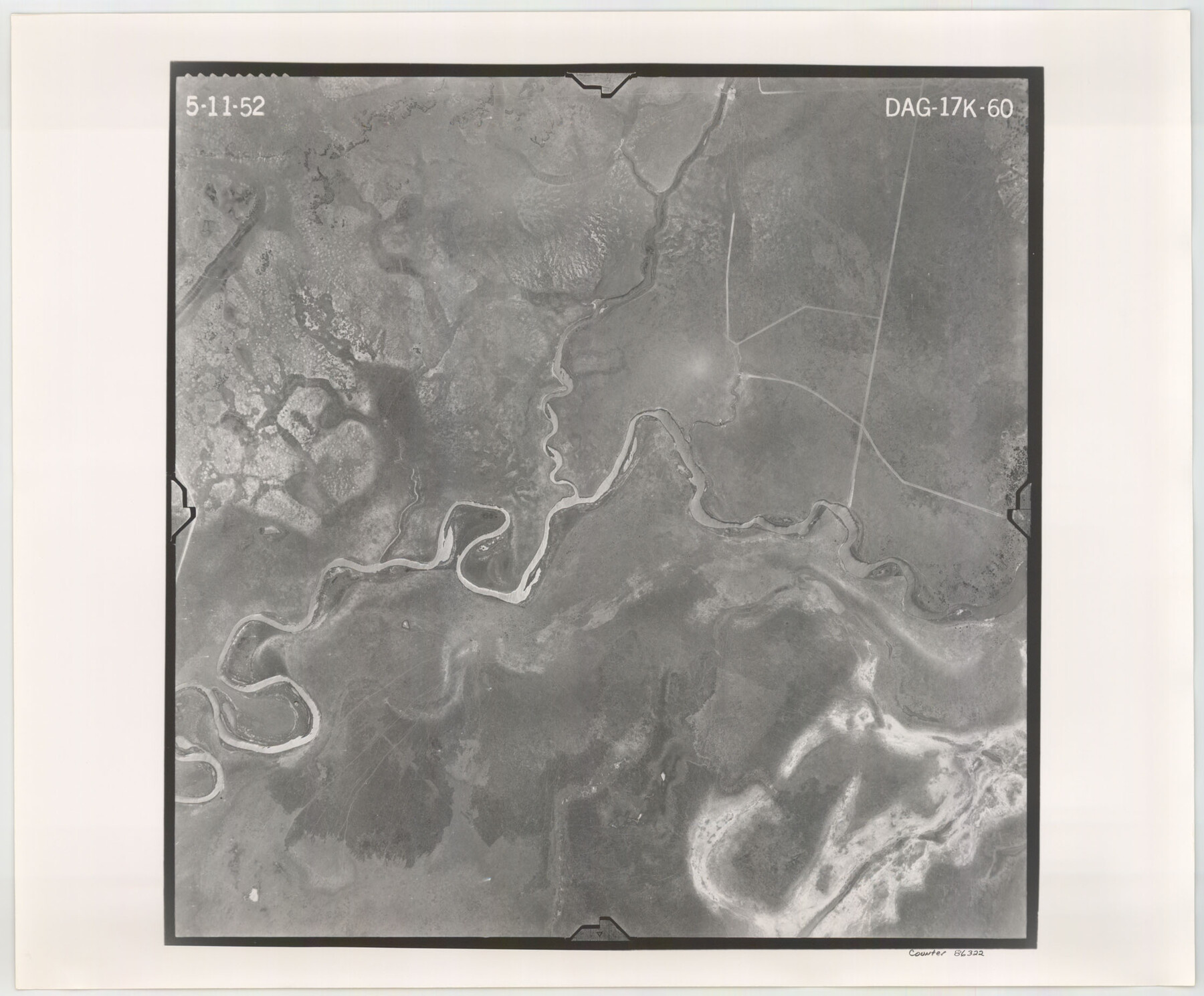
Flight Mission No. DAG-17K, Frame 60, Matagorda County
DAG-17K-60
-
Map/Doc
86322
-
Collection
General Map Collection
-
Object Dates
1952/5/11 (Creation Date)
-
People and Organizations
U. S. Department of Agriculture (Publisher)
-
Counties
Matagorda
-
Subjects
Aerial Photograph
-
Height x Width
18.5 x 22.3 inches
47.0 x 56.6 cm
-
Comments
Flown by Aero Exploration Company of Tulsa, Oklahoma.
Part of: General Map Collection
Williamson County Working Sketch 7

Print $20.00
- Digital $50.00
Williamson County Working Sketch 7
1949
Size 30.2 x 37.3 inches
Map/Doc 72567
Brewster County Rolled Sketch 105

Print $20.00
- Digital $50.00
Brewster County Rolled Sketch 105
Size 27.2 x 24.5 inches
Map/Doc 5257
Bastrop County Working Sketch 9

Print $20.00
- Digital $50.00
Bastrop County Working Sketch 9
1981
Size 44.9 x 43.7 inches
Map/Doc 67309
Upton County Boundary File 3

Print $80.00
- Digital $50.00
Upton County Boundary File 3
Size 49.1 x 7.8 inches
Map/Doc 59534
[Map of Block 97, Borden and Scurry Co (Exhibit A); Map of Southeastern part of Young Territory; Map of part of of Borden, Fisher, Kent, Mitchell, Scurry and Garza Cos. Showing the north boundary line of the T&P 80 mile reservation]
![65690, [Map of Block 97, Borden and Scurry Co (Exhibit A); Map of Southeastern part of Young Territory; Map of part of of Borden, Fisher, Kent, Mitchell, Scurry and Garza Cos. Showing the north boundary line of the T&P 80 mile reservation], General Map Collection](https://historictexasmaps.com/wmedia_w700/maps/65690-1.tif.jpg)
Print $40.00
- Digital $50.00
[Map of Block 97, Borden and Scurry Co (Exhibit A); Map of Southeastern part of Young Territory; Map of part of of Borden, Fisher, Kent, Mitchell, Scurry and Garza Cos. Showing the north boundary line of the T&P 80 mile reservation]
Size 58.7 x 42.4 inches
Map/Doc 65690
Terry County Rolled Sketch 6

Print $20.00
- Digital $50.00
Terry County Rolled Sketch 6
1944
Size 36.5 x 43.7 inches
Map/Doc 9996
Scurry County Working Sketch 1

Print $20.00
- Digital $50.00
Scurry County Working Sketch 1
Size 17.9 x 22.7 inches
Map/Doc 63830
Schleicher County Working Sketch 16

Print $20.00
- Digital $50.00
Schleicher County Working Sketch 16
1942
Size 24.5 x 26.4 inches
Map/Doc 63818

[Galveston, Harrisburg & San Antonio through El Paso County]
![64001, [Galveston, Harrisburg & San Antonio through El Paso County], General Map Collection](https://historictexasmaps.com/wmedia_w700/maps/64001.tif.jpg)
Print $20.00
- Digital $50.00
[Galveston, Harrisburg & San Antonio through El Paso County]
1907
Size 13.6 x 33.7 inches
Map/Doc 64001
Shackelford County Sketch File 14

Print $28.00
- Digital $50.00
Shackelford County Sketch File 14
1874
Size 14.4 x 8.8 inches
Map/Doc 36585

You may also like
Pecos County Working Sketch 126

Print $20.00
- Digital $50.00
Pecos County Working Sketch 126
1936
Size 15.3 x 27.4 inches
Map/Doc 71600
Hall County Sketch File 15

Print $6.00
- Digital $50.00
Hall County Sketch File 15
Size 5.7 x 16.9 inches
Map/Doc 24814
Carte de la côte de la Louisiane depuis la Baye St. Joseph, jusqu'à celle de St. Bernard où tous les ports et bons mouillages sont marquez par des ancres; avec la quantité de piés d'eau que l'on y trouve.

Print $20.00
Carte de la côte de la Louisiane depuis la Baye St. Joseph, jusqu'à celle de St. Bernard où tous les ports et bons mouillages sont marquez par des ancres; avec la quantité de piés d'eau que l'on y trouve.
1732
Size 11.4 x 32.7 inches
Map/Doc 93607
Flight Mission No. DCL-6C, Frame 6, Kenedy County

Print $20.00
- Digital $50.00
Flight Mission No. DCL-6C, Frame 6, Kenedy County
1943
Size 18.6 x 22.3 inches
Map/Doc 85866
Ward County Working Sketch 45

Print $40.00
- Digital $50.00
Ward County Working Sketch 45
1973
Size 56.8 x 28.3 inches
Map/Doc 72351
Crane County Sketch File 3b

Print $20.00
- Digital $50.00
Crane County Sketch File 3b
1881
Size 11.9 x 38.6 inches
Map/Doc 11206
Wise County Sketch File 45

Print $4.00
- Digital $50.00
Wise County Sketch File 45
Size 8.6 x 14.2 inches
Map/Doc 40605
Matagorda County Working Sketch 4

Print $20.00
- Digital $50.00
Matagorda County Working Sketch 4
1908
Size 33.1 x 32.0 inches
Map/Doc 70862
Polk County Sketch File 29

Print $4.00
- Digital $50.00
Polk County Sketch File 29
Size 8.8 x 12.6 inches
Map/Doc 34200
Rusk County Working Sketch 23

Print $20.00
- Digital $50.00
Rusk County Working Sketch 23
1949
Size 23.9 x 26.5 inches
Map/Doc 63659
Orange County Rolled Sketch 21

Print $20.00
- Digital $50.00
Orange County Rolled Sketch 21
Size 34.3 x 42.5 inches
Map/Doc 9646
Brooks County Boundary File 1

Print $54.00
- Digital $50.00
Brooks County Boundary File 1
Size 9.0 x 8.6 inches
Map/Doc 50809