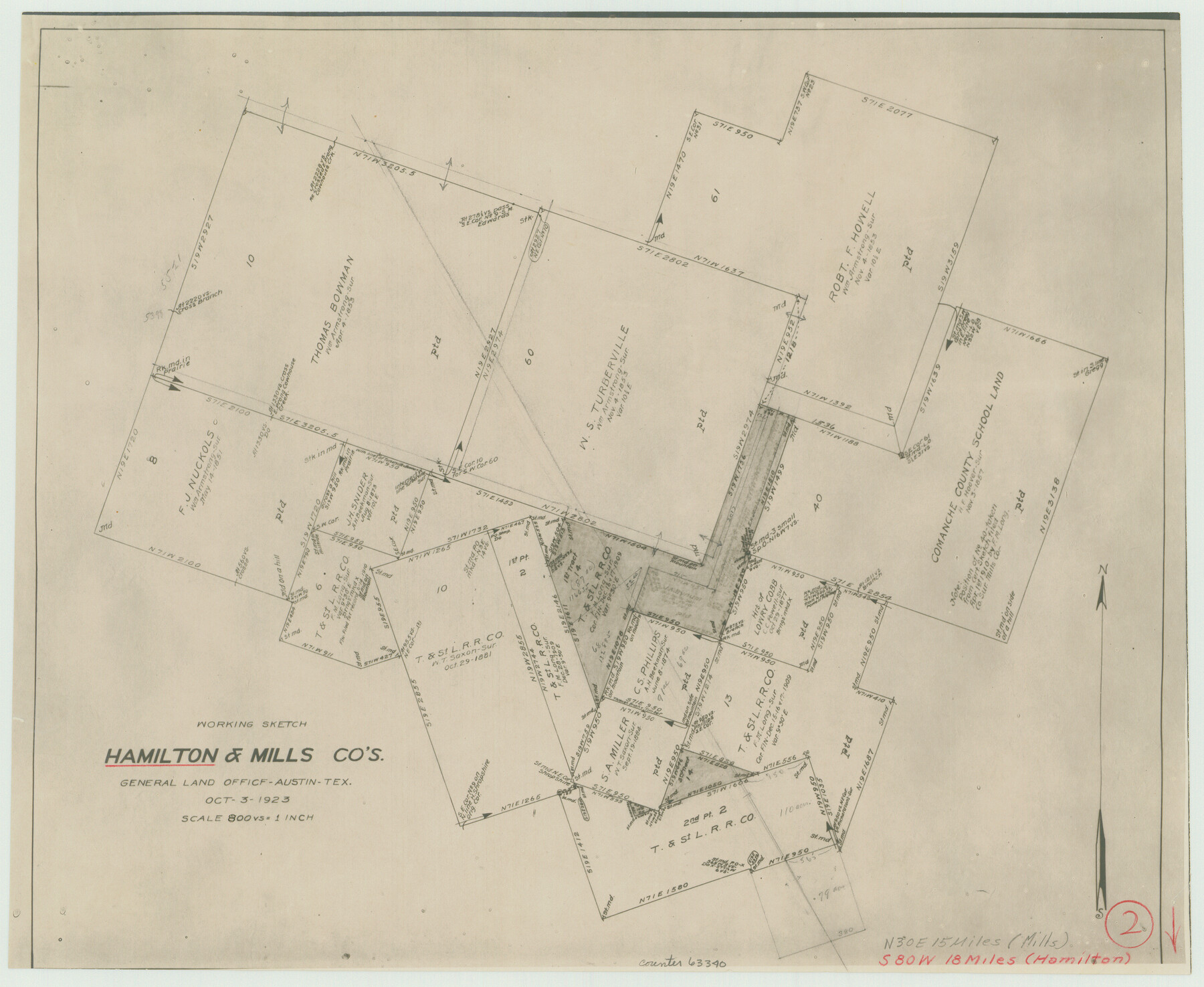
Hamilton County Working Sketch 2
-
Map/Doc
63340
-
Collection
General Map Collection
-
Object Dates
10/3/1923 (Creation Date)
-
Counties
Hamilton Mills
-
Subjects
Surveying Working Sketch
-
Height x Width
12.9 x 15.7 inches
32.8 x 39.9 cm
-
Scale
1" = 800 varas
Part of: General Map Collection
Nueces County Rolled Sketch 44

Print $40.00
- Digital $50.00
Nueces County Rolled Sketch 44
1948
Size 40.0 x 60.8 inches
Map/Doc 9602
Freestone County Working Sketch 23

Print $20.00
- Digital $50.00
Freestone County Working Sketch 23
1982
Size 20.1 x 17.0 inches
Map/Doc 69265
Calhoun County Rolled Sketch 21

Print $20.00
- Digital $50.00
Calhoun County Rolled Sketch 21
1957
Size 47.2 x 37.5 inches
Map/Doc 8551
Kerr County Sketch File 23

Print $8.00
- Digital $50.00
Kerr County Sketch File 23
1959
Size 14.2 x 8.8 inches
Map/Doc 28901
Railroad Track Map, H&TCRRCo., Falls County, Texas

Print $4.00
- Digital $50.00
Railroad Track Map, H&TCRRCo., Falls County, Texas
1918
Size 11.6 x 18.6 inches
Map/Doc 62834
Flight Mission No. CON-4R, Frame 200, Stonewall County

Print $20.00
- Digital $50.00
Flight Mission No. CON-4R, Frame 200, Stonewall County
1957
Size 18.2 x 22.0 inches
Map/Doc 86994
Dimmit County Boundary File 9

Print $20.00
- Digital $50.00
Dimmit County Boundary File 9
Size 37.2 x 6.9 inches
Map/Doc 52603
Ward County Working Sketch 51

Print $40.00
- Digital $50.00
Ward County Working Sketch 51
1980
Size 34.4 x 52.1 inches
Map/Doc 72357
Webb County Sketch File 1-2

Print $20.00
- Digital $50.00
Webb County Sketch File 1-2
1912
Size 21.2 x 22.6 inches
Map/Doc 12611
Lampasas County Working Sketch 12

Print $20.00
- Digital $50.00
Lampasas County Working Sketch 12
1969
Size 32.9 x 31.4 inches
Map/Doc 70289
Val Verde County Working Sketch 59

Print $20.00
- Digital $50.00
Val Verde County Working Sketch 59
1958
Size 38.6 x 35.0 inches
Map/Doc 72194
La Salle County Sketch File 3

Print $44.00
- Digital $50.00
La Salle County Sketch File 3
1875
Size 15.8 x 29.6 inches
Map/Doc 11978
You may also like
Hudspeth County Rolled Sketch 41

Print $40.00
- Digital $50.00
Hudspeth County Rolled Sketch 41
1947
Size 12.6 x 83.1 inches
Map/Doc 76043
Concho County Sketch File 39

Print $8.00
- Digital $50.00
Concho County Sketch File 39
1949
Size 11.3 x 8.8 inches
Map/Doc 19190
Liberty County Sketch File 27a

Print $4.00
- Digital $50.00
Liberty County Sketch File 27a
1870
Size 11.6 x 9.0 inches
Map/Doc 29950
Archer County Working Sketch 11

Print $20.00
- Digital $50.00
Archer County Working Sketch 11
1925
Size 14.9 x 20.4 inches
Map/Doc 67152
Randall County Boundary File 5

Print $14.00
- Digital $50.00
Randall County Boundary File 5
Size 8.9 x 7.8 inches
Map/Doc 58134
Map of Nacogdoches County

Print $40.00
- Digital $50.00
Map of Nacogdoches County
1839
Size 83.3 x 79.2 inches
Map/Doc 16775
Flight Mission No. BRA-16M, Frame 116, Jefferson County

Print $20.00
- Digital $50.00
Flight Mission No. BRA-16M, Frame 116, Jefferson County
1953
Size 18.5 x 22.3 inches
Map/Doc 85726
Eastland County Working Sketch 43

Print $20.00
- Digital $50.00
Eastland County Working Sketch 43
1979
Size 19.7 x 31.0 inches
Map/Doc 68824
El Paso County Working Sketch 46

Print $20.00
- Digital $50.00
El Paso County Working Sketch 46
1987
Size 38.3 x 37.5 inches
Map/Doc 69068
The Judicial District/County of Guadalupe. Created, January 29, 1842

Print $20.00
The Judicial District/County of Guadalupe. Created, January 29, 1842
2020
Size 16.7 x 21.7 inches
Map/Doc 96327
Brown County Sketch File 8

Print $4.00
- Digital $50.00
Brown County Sketch File 8
1860
Size 13.4 x 8.1 inches
Map/Doc 16593
Ward County Rolled Sketch 12A

Print $20.00
- Digital $50.00
Ward County Rolled Sketch 12A
Size 34.7 x 46.5 inches
Map/Doc 10108