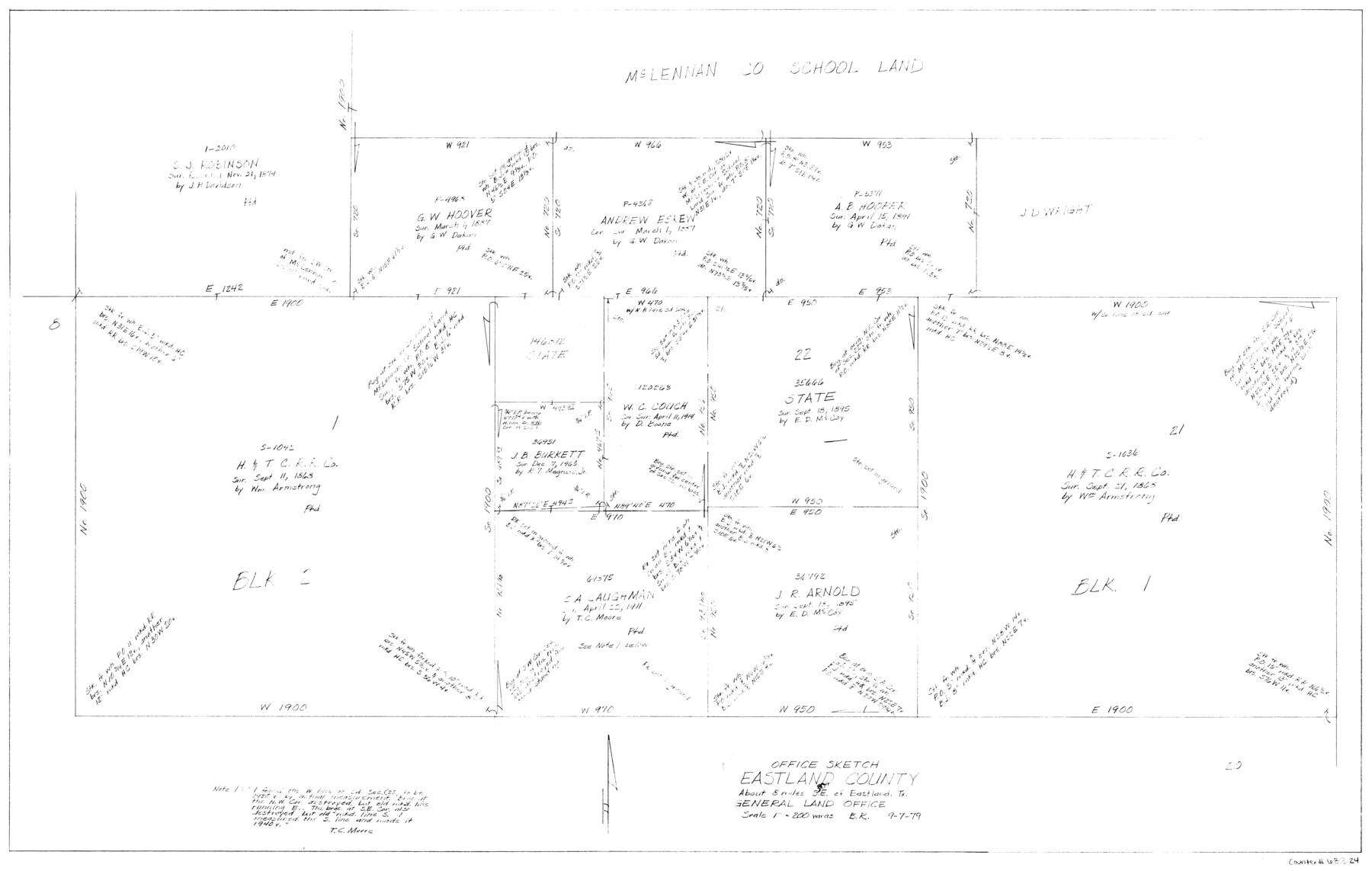
Eastland County Working Sketch 43
-
Map/Doc
68824
-
Collection
General Map Collection
-
Object Dates
9/7/1979 (Creation Date)
-
People and Organizations
Beverly Robison (Draftsman)
-
Counties
Eastland
-
Subjects
Surveying Working Sketch
-
Height x Width
19.7 x 31.0 inches
50.0 x 78.7 cm
-
Scale
1" = 200 varas
Part of: General Map Collection
Ellis County Boundary File 67 1/2

Print $24.00
- Digital $50.00
Ellis County Boundary File 67 1/2
Size 9.0 x 4.1 inches
Map/Doc 53003
Henderson County Working Sketch 29

Print $20.00
- Digital $50.00
Henderson County Working Sketch 29
1961
Size 39.3 x 41.9 inches
Map/Doc 66162
Henderson County Sketch File 11

Print $2.00
- Digital $50.00
Henderson County Sketch File 11
Size 8.5 x 3.7 inches
Map/Doc 26348
Collin County

Print $20.00
- Digital $50.00
Collin County
1975
Size 43.2 x 40.1 inches
Map/Doc 73110
Carson County Boundary File 1

Print $8.00
- Digital $50.00
Carson County Boundary File 1
Size 8.8 x 7.4 inches
Map/Doc 51117
Wise County Rolled Sketch 5

Print $20.00
- Digital $50.00
Wise County Rolled Sketch 5
Size 19.4 x 21.4 inches
Map/Doc 8271
Polk County Sketch File 29a

Print $4.00
- Digital $50.00
Polk County Sketch File 29a
Size 12.1 x 8.2 inches
Map/Doc 34202
[Corpus Christi Bay, Padre Island, Mustang Island, Laguna de la Madre, King and Kenedy's Pasture]
![73045, [Corpus Christi Bay, Padre Island, Mustang Island, Laguna de la Madre, King and Kenedy's Pasture], General Map Collection](https://historictexasmaps.com/wmedia_w700/maps/73045.tif.jpg)
Print $20.00
- Digital $50.00
[Corpus Christi Bay, Padre Island, Mustang Island, Laguna de la Madre, King and Kenedy's Pasture]
Size 26.6 x 18.1 inches
Map/Doc 73045
Map of Lipscomb County

Print $20.00
- Digital $50.00
Map of Lipscomb County
1899
Size 43.1 x 39.2 inches
Map/Doc 5017

Menard County Boundary File 2b

Print $6.00
- Digital $50.00
Menard County Boundary File 2b
Size 13.3 x 8.2 inches
Map/Doc 57069

You may also like
Right of Way and Track Map Houston & Texas Central R.R. operated by the T. and N. O. R.R. Co., Fort Worth Branch

Print $40.00
- Digital $50.00
Right of Way and Track Map Houston & Texas Central R.R. operated by the T. and N. O. R.R. Co., Fort Worth Branch
1918
Size 30.7 x 56.4 inches
Map/Doc 64542
Concho County Rolled Sketch 14

Print $20.00
- Digital $50.00
Concho County Rolled Sketch 14
1959
Size 29.9 x 31.2 inches
Map/Doc 8659
Calhoun County NRC Article 33.136 Sketch 15

Print $46.00
Calhoun County NRC Article 33.136 Sketch 15
2025
Map/Doc 97428
Hale County Sketch File 4

Print $20.00
- Digital $50.00
Hale County Sketch File 4
1891
Size 18.8 x 16.4 inches
Map/Doc 11594
Franklin County Boundary File 1

Print $8.00
- Digital $50.00
Franklin County Boundary File 1
Size 12.9 x 8.1 inches
Map/Doc 53569
Panola County Rolled Sketch 3

Print $1246.00
- Digital $50.00
Panola County Rolled Sketch 3
1949
Size 10.3 x 15.2 inches
Map/Doc 47978
Subdivision of Capitol Leagues 112, 113, 114, and 115, and Parts of 110, and 111

Print $20.00
- Digital $50.00
Subdivision of Capitol Leagues 112, 113, 114, and 115, and Parts of 110, and 111
1906
Size 18.5 x 23.3 inches
Map/Doc 92583
Austin County Working Sketch Graphic Index

Print $20.00
- Digital $50.00
Austin County Working Sketch Graphic Index
1943
Size 38.6 x 41.1 inches
Map/Doc 76459
[Sketch of part of G. & M. Block 5]
![93077, [Sketch of part of G. & M. Block 5], Twichell Survey Records](https://historictexasmaps.com/wmedia_w700/maps/93077-1.tif.jpg)
Print $3.00
- Digital $50.00
[Sketch of part of G. & M. Block 5]
Size 17.7 x 9.4 inches
Map/Doc 93077
Kendall County Working Sketch 24

Print $20.00
- Digital $50.00
Kendall County Working Sketch 24
1977
Size 27.6 x 26.1 inches
Map/Doc 66696
[Blocks 44, 6T, 2G, and Vicinity]
![91519, [Blocks 44, 6T, 2G, and Vicinity], Twichell Survey Records](https://historictexasmaps.com/wmedia_w700/maps/91519-1.tif.jpg)
Print $20.00
- Digital $50.00
[Blocks 44, 6T, 2G, and Vicinity]
Size 24.5 x 16.9 inches
Map/Doc 91519
Ochiltree County Boundary File 3

Print $10.00
- Digital $50.00
Ochiltree County Boundary File 3
Size 11.2 x 8.6 inches
Map/Doc 57677