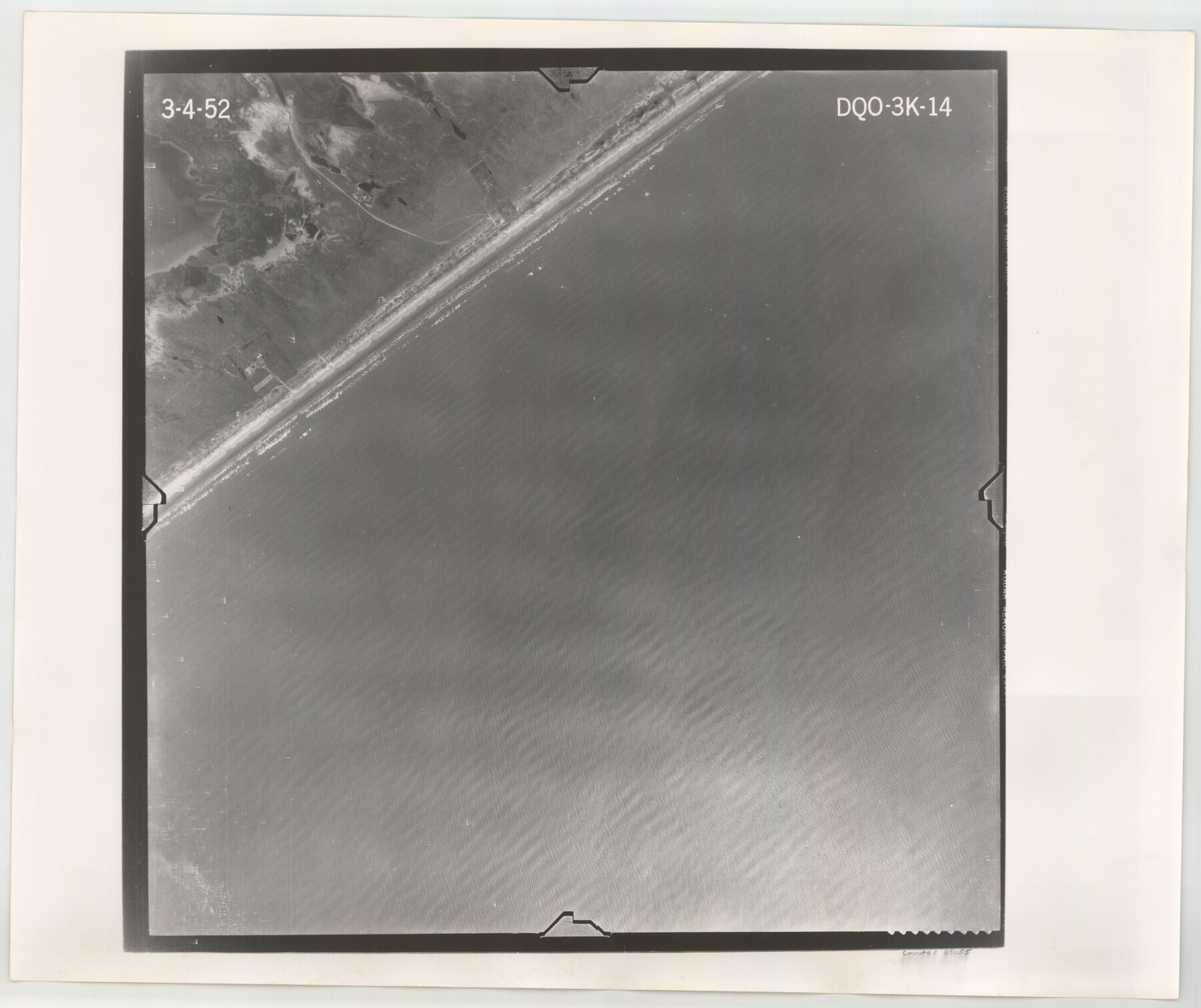
Flight Mission No. DQO-3K, Frame 14, Galveston County
DQO-3K-14
-
Map/Doc
85055
-
Collection
General Map Collection
-
Object Dates
1952/3/4 (Creation Date)
-
People and Organizations
U. S. Department of Agriculture (Publisher)
-
Counties
Galveston
-
Subjects
Aerial Photograph
-
Height x Width
18.8 x 22.4 inches
47.8 x 56.9 cm
-
Comments
Flown by Aero Exploration Company of Tulsa, Oklahoma.
Part of: General Map Collection
[Sketch for Mineral Application 19560 - 19588 - San Bernard River]
![65661, [Sketch for Mineral Application 19560 - 19588 - San Bernard River], General Map Collection](https://historictexasmaps.com/wmedia_w700/maps/65661.tif.jpg)
Print $40.00
- Digital $50.00
[Sketch for Mineral Application 19560 - 19588 - San Bernard River]
Size 32.3 x 98.5 inches
Map/Doc 65661
Harris County Working Sketch 42

Print $20.00
- Digital $50.00
Harris County Working Sketch 42
1940
Size 31.8 x 38.5 inches
Map/Doc 65934
Val Verde County Rolled Sketch 3X

Print $20.00
- Digital $50.00
Val Verde County Rolled Sketch 3X
Size 27.9 x 30.9 inches
Map/Doc 8107
Hudspeth County Sketch File 11b

Print $16.00
- Digital $50.00
Hudspeth County Sketch File 11b
Size 14.2 x 8.9 inches
Map/Doc 26914
Henderson County Boundary File 43

Print $28.00
- Digital $50.00
Henderson County Boundary File 43
Size 5.0 x 8.3 inches
Map/Doc 54708
Bowie County Sketch File 7e

Print $10.00
- Digital $50.00
Bowie County Sketch File 7e
1927
Size 10.5 x 8.4 inches
Map/Doc 14867
Newton County Working Sketch 23

Print $20.00
- Digital $50.00
Newton County Working Sketch 23
1952
Size 22.0 x 26.6 inches
Map/Doc 71269
Loving County Sketch File 10

Print $2.00
- Digital $50.00
Loving County Sketch File 10
2016
Size 11.0 x 8.5 inches
Map/Doc 94115
Chicago, Rock Island, Texas & Mexico

Print $20.00
- Digital $50.00
Chicago, Rock Island, Texas & Mexico
1920
Size 23.9 x 13.8 inches
Map/Doc 64423
Gaines County Working Sketch 18

Print $20.00
- Digital $50.00
Gaines County Working Sketch 18
1970
Size 25.4 x 44.5 inches
Map/Doc 69318
Parker County Sketch File 16

Print $22.00
- Digital $50.00
Parker County Sketch File 16
1870
Size 12.9 x 16.3 inches
Map/Doc 33550
Hardin County Working Sketch 2

Print $20.00
- Digital $50.00
Hardin County Working Sketch 2
1903
Size 23.2 x 21.9 inches
Map/Doc 63400
You may also like
Leon County Working Sketch 49

Print $20.00
- Digital $50.00
Leon County Working Sketch 49
1981
Size 23.9 x 24.7 inches
Map/Doc 70448
Kent County Sketch File 6

Print $4.00
- Digital $50.00
Kent County Sketch File 6
1910
Size 8.3 x 7.0 inches
Map/Doc 28830
Hopkins County Sketch File 9

Print $6.00
- Digital $50.00
Hopkins County Sketch File 9
1856
Size 12.8 x 8.3 inches
Map/Doc 26697

Karte von den Vermessungen im Grant und in der Gegend zwischen demselben und Neu Braunfels

Print $20.00
- Digital $50.00
Karte von den Vermessungen im Grant und in der Gegend zwischen demselben und Neu Braunfels
1850
Size 24.0 x 19.0 inches
Map/Doc 94446
Flight Mission No. BQR-9K, Frame 53, Brazoria County

Print $20.00
- Digital $50.00
Flight Mission No. BQR-9K, Frame 53, Brazoria County
1952
Size 18.7 x 22.3 inches
Map/Doc 84057
Fort Bend County Rolled Sketch P

Print $20.00
- Digital $50.00
Fort Bend County Rolled Sketch P
Size 32.2 x 15.5 inches
Map/Doc 5906
Hockley County

Print $20.00
- Digital $50.00
Hockley County
1914
Size 25.8 x 22.4 inches
Map/Doc 66866
Zavala County Sketch File 11

Print $4.00
- Digital $50.00
Zavala County Sketch File 11
1885
Size 14.4 x 8.8 inches
Map/Doc 41270
Crockett County Rolled Sketch 60

Print $20.00
- Digital $50.00
Crockett County Rolled Sketch 60
Size 18.7 x 18.9 inches
Map/Doc 5603
Medina County Working Sketch 9

Print $20.00
- Digital $50.00
Medina County Working Sketch 9
1959
Size 25.3 x 38.8 inches
Map/Doc 70924
Trinity River, Watershed

Print $20.00
- Digital $50.00
Trinity River, Watershed
1925
Size 46.9 x 40.5 inches
Map/Doc 65255