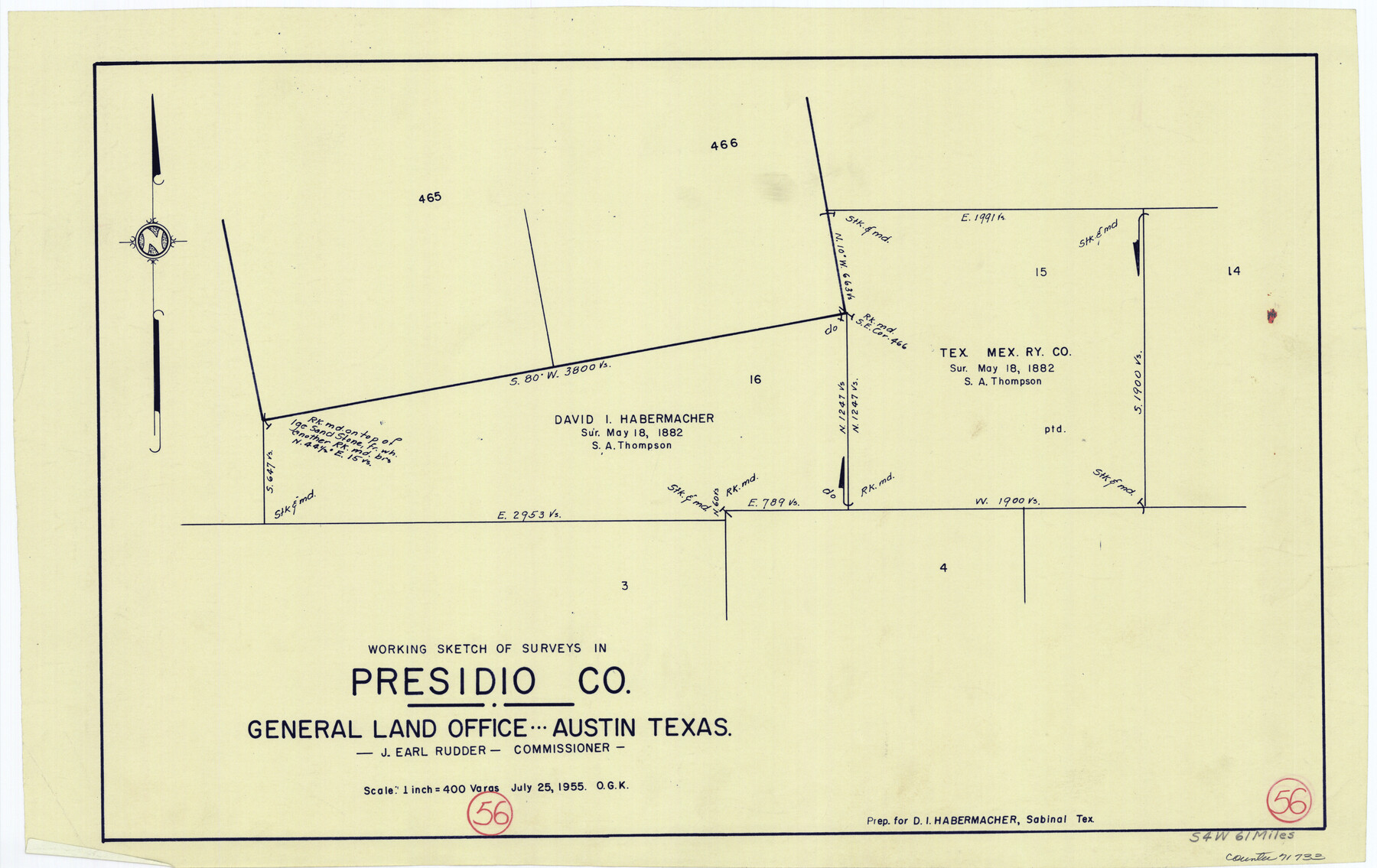
Presidio County Working Sketch 56
-
Map/Doc
71733
-
Collection
General Map Collection
-
Object Dates
7/25/1955 (Creation Date)
-
People and Organizations
Otto G. Kurio (Draftsman)
-
Counties
Presidio
-
Subjects
Surveying Working Sketch
-
Height x Width
13.9 x 22.0 inches
35.3 x 55.9 cm
-
Scale
1" = 400 varas
Part of: General Map Collection

Hardin County Working Sketch 18

Print $20.00
- Digital $50.00
Hardin County Working Sketch 18
1944
Size 18.7 x 22.0 inches
Map/Doc 63416
Map showing the Distribution of Slaves in the Southern States

Print $20.00
- Digital $50.00
Map showing the Distribution of Slaves in the Southern States
1861
Size 15.2 x 18.3 inches
Map/Doc 96634

Swisher County Sketch File 2b

Print $4.00
- Digital $50.00
Swisher County Sketch File 2b
1910
Size 11.2 x 8.7 inches
Map/Doc 37616
Presidio County Rolled Sketch BB

Print $20.00
- Digital $50.00
Presidio County Rolled Sketch BB
1937
Size 26.3 x 27.1 inches
Map/Doc 7407
Flight Mission No. DQN-3K, Frame 70, Calhoun County

Print $20.00
- Digital $50.00
Flight Mission No. DQN-3K, Frame 70, Calhoun County
1953
Size 18.6 x 22.5 inches
Map/Doc 84361
Red River County Working Sketch 5

Print $20.00
- Digital $50.00
Red River County Working Sketch 5
1919
Size 14.7 x 12.8 inches
Map/Doc 71988
Flight Mission No. DQN-7K, Frame 34, Calhoun County

Print $20.00
- Digital $50.00
Flight Mission No. DQN-7K, Frame 34, Calhoun County
1953
Size 18.5 x 22.1 inches
Map/Doc 84472
McCulloch County Rolled Sketch 9

Print $20.00
- Digital $50.00
McCulloch County Rolled Sketch 9
Size 21.0 x 25.9 inches
Map/Doc 6719
Dallas County Sketch File 16

Print $4.00
- Digital $50.00
Dallas County Sketch File 16
Size 8.0 x 8.4 inches
Map/Doc 20435
Brewster County Rolled Sketch 114

Print $20.00
- Digital $50.00
Brewster County Rolled Sketch 114
1964
Size 11.5 x 18.2 inches
Map/Doc 5286
You may also like
Sterling County Sketch File 12

Print $20.00
- Digital $50.00
Sterling County Sketch File 12
1930
Size 14.4 x 28.4 inches
Map/Doc 12358
Harbor of Brazos Santiago, Texas

Print $20.00
- Digital $50.00
Harbor of Brazos Santiago, Texas
1887
Size 27.1 x 18.3 inches
Map/Doc 72994
Republic Counties. January 1, 1843

Print $20.00
Republic Counties. January 1, 1843
2020
Size 24.5 x 21.7 inches
Map/Doc 96316
Wichita County Boundary File 3

Print $40.00
- Digital $50.00
Wichita County Boundary File 3
Size 9.0 x 52.8 inches
Map/Doc 59913

[Township 3 North, Block 34]
![91208, [Township 3 North, Block 34], Twichell Survey Records](https://historictexasmaps.com/wmedia_w700/maps/91208-1.tif.jpg)
Print $3.00
- Digital $50.00
[Township 3 North, Block 34]
Size 10.2 x 14.0 inches
Map/Doc 91208
Upton County Working Sketch 29

Print $40.00
- Digital $50.00
Upton County Working Sketch 29
1956
Size 50.6 x 36.0 inches
Map/Doc 69525
Galveston County Sketch File 60

Print $103.00
- Digital $50.00
Galveston County Sketch File 60
1988
Size 14.3 x 8.8 inches
Map/Doc 23611
San Patricio County Working Sketch 22

Print $20.00
- Digital $50.00
San Patricio County Working Sketch 22
1981
Size 30.0 x 24.1 inches
Map/Doc 63784
Duval County Boundary File 1

Print $26.00
- Digital $50.00
Duval County Boundary File 1
Size 8.4 x 3.7 inches
Map/Doc 52657
Harrison County Rolled Sketch 13

Print $20.00
- Digital $50.00
Harrison County Rolled Sketch 13
1967
Size 32.5 x 28.3 inches
Map/Doc 6156
Terrell County Working Sketch 29

Print $20.00
- Digital $50.00
Terrell County Working Sketch 29
1944
Size 28.6 x 35.5 inches
Map/Doc 62121