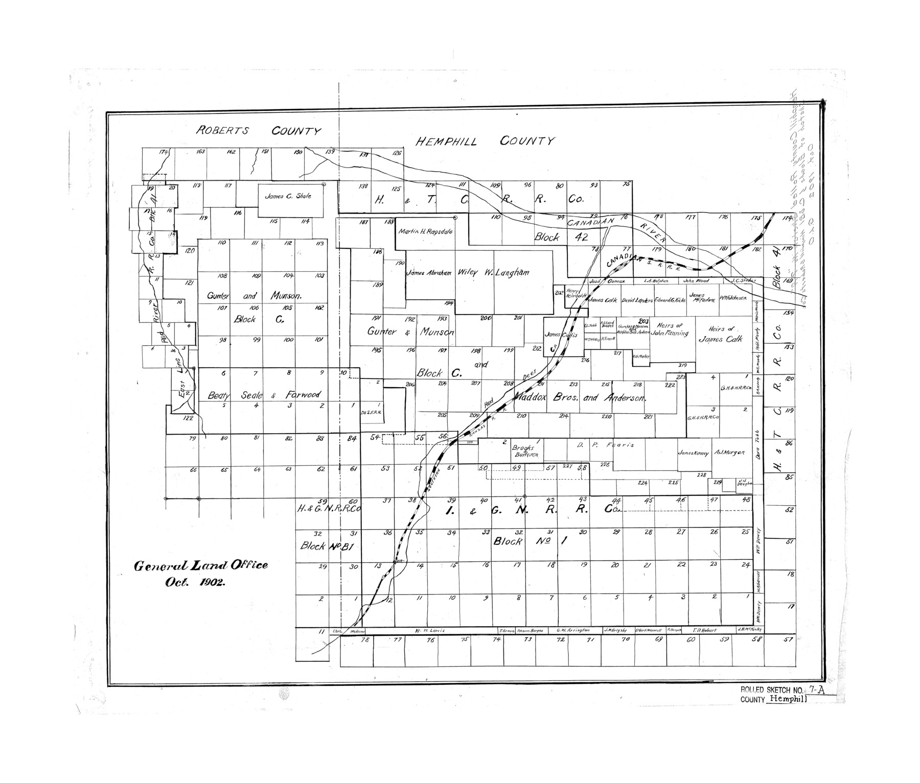
Hemphill County Rolled Sketch 7A
[Sketch of multiple Blocks in Hemphill and Roberts Counties]
-
Map/Doc
6190
-
Collection
General Map Collection
-
Object Dates
1902 (Creation Date)
-
Counties
Hemphill Roberts
-
Subjects
Surveying Rolled Sketch
-
Height x Width
22.9 x 26.8 inches
58.2 x 68.1 cm
Part of: General Map Collection
El Paso County Working Sketch 39

Print $20.00
- Digital $50.00
El Paso County Working Sketch 39
1984
Size 45.7 x 37.1 inches
Map/Doc 69061
Lamb County Sketch File 16

Print $4.00
- Digital $50.00
Lamb County Sketch File 16
1929
Size 11.2 x 8.8 inches
Map/Doc 29379
Reagan County Working Sketch 14a

Print $20.00
- Digital $50.00
Reagan County Working Sketch 14a
1949
Size 25.9 x 15.2 inches
Map/Doc 71854
Sketch of 103rd Meridian, W. L. Showing Conflict of Capitol Leagues

Print $40.00
- Digital $50.00
Sketch of 103rd Meridian, W. L. Showing Conflict of Capitol Leagues
Size 26.9 x 85.1 inches
Map/Doc 65505
Crane County Working Sketch 32

Print $20.00
- Digital $50.00
Crane County Working Sketch 32
1984
Size 37.6 x 43.1 inches
Map/Doc 68309
Liberty County Working Sketch 62

Print $20.00
- Digital $50.00
Liberty County Working Sketch 62
1969
Size 22.1 x 28.3 inches
Map/Doc 70522
Starr County Sketch File 43

Print $28.00
- Digital $50.00
Starr County Sketch File 43
1941
Size 14.7 x 9.1 inches
Map/Doc 36991
Flight Mission No. BRE-1P, Frame 75, Nueces County

Print $20.00
- Digital $50.00
Flight Mission No. BRE-1P, Frame 75, Nueces County
1956
Size 18.4 x 22.2 inches
Map/Doc 86657
State of Texas

Print $40.00
- Digital $50.00
State of Texas
1965
Size 43.1 x 52.8 inches
Map/Doc 2488
Jeff Davis County Sketch File 30

Print $26.00
- Digital $50.00
Jeff Davis County Sketch File 30
1922
Size 14.1 x 8.5 inches
Map/Doc 28014
Galveston County NRC Article 33.136 Location Key Sheet

Print $20.00
- Digital $50.00
Galveston County NRC Article 33.136 Location Key Sheet
1994
Size 27.0 x 22.0 inches
Map/Doc 77015
Comanche County Sketch File 19

Print $12.00
- Digital $50.00
Comanche County Sketch File 19
Size 13.0 x 8.0 inches
Map/Doc 19093
You may also like
Wichita County Working Sketch 14

Print $20.00
- Digital $50.00
Wichita County Working Sketch 14
1922
Size 20.8 x 42.1 inches
Map/Doc 72524

Map of Liberty County Texas

Print $20.00
- Digital $50.00
Map of Liberty County Texas
1879
Size 25.4 x 25.3 inches
Map/Doc 42994
Loving County State of Texas

Print $20.00
- Digital $50.00
Loving County State of Texas
1889
Size 20.6 x 24.3 inches
Map/Doc 4582
Map of surveys 191 & 192 T. C. R.R. Co. in Travis County, Texas

Print $20.00
- Digital $50.00
Map of surveys 191 & 192 T. C. R.R. Co. in Travis County, Texas
1915
Size 20.6 x 13.6 inches
Map/Doc 75554
Johnson County Sketch File 1

Print $48.00
- Digital $50.00
Johnson County Sketch File 1
Size 8.0 x 6.9 inches
Map/Doc 28427
Exhibit A to the Surveyors Report, R.W. Lillard vs J.M. Taylor, et al

Print $20.00
- Digital $50.00
Exhibit A to the Surveyors Report, R.W. Lillard vs J.M. Taylor, et al
1881
Size 12.4 x 12.9 inches
Map/Doc 683
Cottle County Working Sketch 4

Print $20.00
- Digital $50.00
Cottle County Working Sketch 4
1916
Size 34.3 x 31.4 inches
Map/Doc 68314
Stephens County Working Sketch 40

Print $20.00
- Digital $50.00
Stephens County Working Sketch 40
2006
Size 26.9 x 34.0 inches
Map/Doc 87149
Jackson County Sketch File 6a

Print $30.00
- Digital $50.00
Jackson County Sketch File 6a
1894
Size 13.6 x 8.8 inches
Map/Doc 27634

Nacogdoches County Sketch File 2

Print $4.00
- Digital $50.00
Nacogdoches County Sketch File 2
1852
Size 8.0 x 6.4 inches
Map/Doc 32235