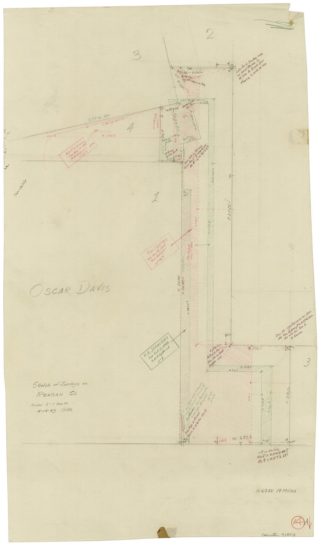
Reagan County Working Sketch 14a
-
Map/Doc
71854
-
Collection
General Map Collection
-
Object Dates
4/14/1949 (Creation Date)
-
People and Organizations
Otto G. Kurio (Draftsman)
-
Counties
Reagan
-
Subjects
Surveying Working Sketch
-
Height x Width
25.9 x 15.2 inches
65.8 x 38.6 cm
-
Scale
1" = 200 varas
Part of: General Map Collection
Flight Mission No. CRE-1R, Frame 120, Jackson County

Print $20.00
- Digital $50.00
Flight Mission No. CRE-1R, Frame 120, Jackson County
1956
Size 16.1 x 15.9 inches
Map/Doc 85331
Liberty County Rolled Sketch 15

Print $20.00
- Digital $50.00
Liberty County Rolled Sketch 15
2015
Size 36.2 x 24.5 inches
Map/Doc 94024
Zapata County Rolled Sketch 23

Print $55.00
- Digital $50.00
Zapata County Rolled Sketch 23
Size 9.6 x 13.0 inches
Map/Doc 49630
Edwards County Working Sketch 14

Print $20.00
- Digital $50.00
Edwards County Working Sketch 14
1924
Size 19.4 x 31.0 inches
Map/Doc 68890
El Paso County Boundary File 19

Print $9.00
- Digital $50.00
El Paso County Boundary File 19
Size 13.6 x 8.7 inches
Map/Doc 53206
Amistad International Reservoir on Rio Grande 100

Print $20.00
- Digital $50.00
Amistad International Reservoir on Rio Grande 100
1950
Size 28.5 x 40.8 inches
Map/Doc 75531
Concho County Sketch File 49

Print $20.00
- Digital $50.00
Concho County Sketch File 49
1889
Size 30.7 x 19.3 inches
Map/Doc 11166
Pecos County Rolled Sketch 72

Print $30.00
- Digital $50.00
Pecos County Rolled Sketch 72
1934
Size 35.8 x 45.1 inches
Map/Doc 9704
[Sketch showing the Rio Grande with towns and features annotated]
![72896, [Sketch showing the Rio Grande with towns and features annotated], General Map Collection](https://historictexasmaps.com/wmedia_w700/maps/72896.tif.jpg)
Print $20.00
- Digital $50.00
[Sketch showing the Rio Grande with towns and features annotated]
1854
Size 24.1 x 18.2 inches
Map/Doc 72896
Terrell County Working Sketch 6

Print $20.00
- Digital $50.00
Terrell County Working Sketch 6
1914
Size 15.7 x 21.9 inches
Map/Doc 62155
Flight Mission No. BQY-4M, Frame 62, Harris County

Print $20.00
- Digital $50.00
Flight Mission No. BQY-4M, Frame 62, Harris County
1953
Size 18.7 x 22.5 inches
Map/Doc 85271
San Jacinto County Sketch File 20A

Print $6.00
San Jacinto County Sketch File 20A
1939
Size 13.9 x 8.9 inches
Map/Doc 35731
You may also like
Map of Lipscomb County

Print $20.00
- Digital $50.00
Map of Lipscomb County
1899
Size 43.9 x 38.9 inches
Map/Doc 78406
Right of Way and Track Map - Houston & Texas Central R.R. operated by the T. and N. O. R.R. Co. - Main Line

Print $40.00
- Digital $50.00
Right of Way and Track Map - Houston & Texas Central R.R. operated by the T. and N. O. R.R. Co. - Main Line
1918
Size 25.2 x 57.8 inches
Map/Doc 82859
Kendall County Rolled Sketch 5

Print $20.00
- Digital $50.00
Kendall County Rolled Sketch 5
Size 23.4 x 19.3 inches
Map/Doc 6458
Upton County Rolled Sketch 12

Print $20.00
- Digital $50.00
Upton County Rolled Sketch 12
Size 30.3 x 38.3 inches
Map/Doc 10036
Red River County Sketch File 27

Print $4.00
- Digital $50.00
Red River County Sketch File 27
1848
Size 12.8 x 8.3 inches
Map/Doc 35163
Flight Mission No. BRE-1P, Frame 126, Nueces County

Print $20.00
- Digital $50.00
Flight Mission No. BRE-1P, Frame 126, Nueces County
1956
Size 18.4 x 22.4 inches
Map/Doc 86692
Navarro County Working Sketch 10

Print $20.00
- Digital $50.00
Navarro County Working Sketch 10
1960
Size 29.7 x 26.0 inches
Map/Doc 71240
Flight Mission No. DQN-2K, Frame 146, Calhoun County

Print $20.00
- Digital $50.00
Flight Mission No. DQN-2K, Frame 146, Calhoun County
1953
Size 18.9 x 22.5 inches
Map/Doc 84315
Map of Texas with population and location of principal towns and cities according to latest reliable statistics

Print $20.00
- Digital $50.00
Map of Texas with population and location of principal towns and cities according to latest reliable statistics
1913
Size 18.3 x 20.2 inches
Map/Doc 95879
Calhoun County Rolled Sketch 14

Print $20.00
- Digital $50.00
Calhoun County Rolled Sketch 14
Size 21.9 x 40.1 inches
Map/Doc 5459
Flight Mission No. DQO-2K, Frame 95, Galveston County

Print $20.00
- Digital $50.00
Flight Mission No. DQO-2K, Frame 95, Galveston County
1952
Size 18.8 x 22.5 inches
Map/Doc 85022
Galveston County Rolled Sketch 41

Print $20.00
- Digital $50.00
Galveston County Rolled Sketch 41
1988
Size 23.1 x 37.0 inches
Map/Doc 5972